South Green

Settlement in Norfolk King's Lynn and West Norfolk

England

South Green

Church of St. Clement, Terrington St Clement <span class="nowrap"><a title="https://historicengland.org.uk/listing/the-list/list-entry/1237112?section=official-list-entry" rel="nofollow ugc noopener" href="https://historicengland.org.uk/listing/the-list/list-entry/1237112?section=official-list-entry">Link</a><img style="margin-left:2px;" alt="External link" title="External link - shift click to open in new window" src="https://s1.geograph.org.uk/img/external.png" width="10" height="10"/></span>
Church of St. Clement, Terrington St Clement Credit: Sandy Gerrard

Located in Norfolk, England, South Green is a small village that boasts a charming and peaceful atmosphere. With a population of around 500 residents, it is a close-knit community that offers a sense of tranquility and a slower pace of life. Surrounded by beautiful countryside, South Green is an ideal destination for those seeking a peaceful and picturesque setting.

The village is characterized by its traditional architecture, with many buildings dating back several centuries. The village center is dominated by a lovely green, where locals often gather to relax or enjoy outdoor activities. The green is also home to a variety of events throughout the year, including summer fairs and community gatherings.

South Green is well-served by amenities, including a village hall, a primary school, and a local pub. These establishments serve as important social hubs for residents, fostering a sense of community and providing opportunities for social interaction.

Nature lovers will find plenty to explore in the surrounding area. The village is situated near a number of walking and cycling routes, allowing residents and visitors to enjoy the beautiful Norfolk countryside. Additionally, the nearby coastline offers stunning views and opportunities for beach walks and birdwatching.

Despite its small size, South Green is within easy reach of larger towns and cities, such as Norwich and Great Yarmouth, which offer a wider range of services and attractions. This makes South Green an attractive option for those seeking a peaceful village lifestyle while still having access to urban amenities.

If you have any feedback on the listing, please let us know in the comments section below.
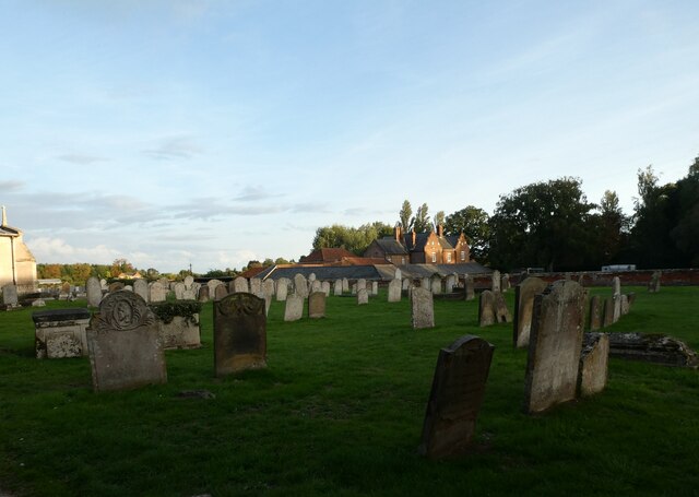
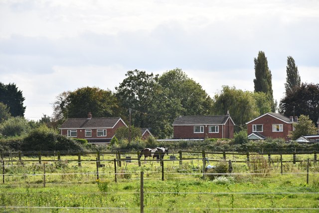
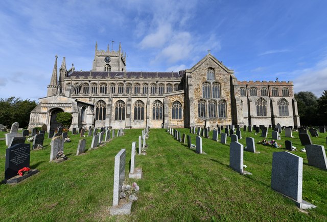
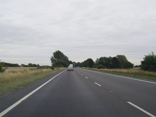
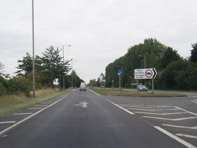
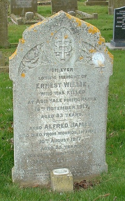
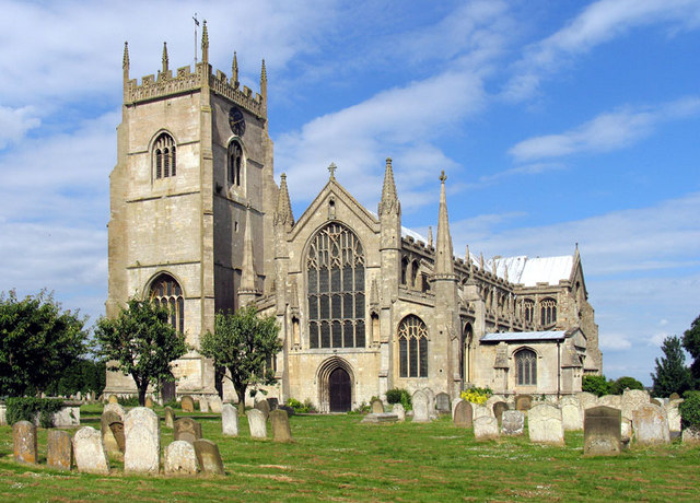
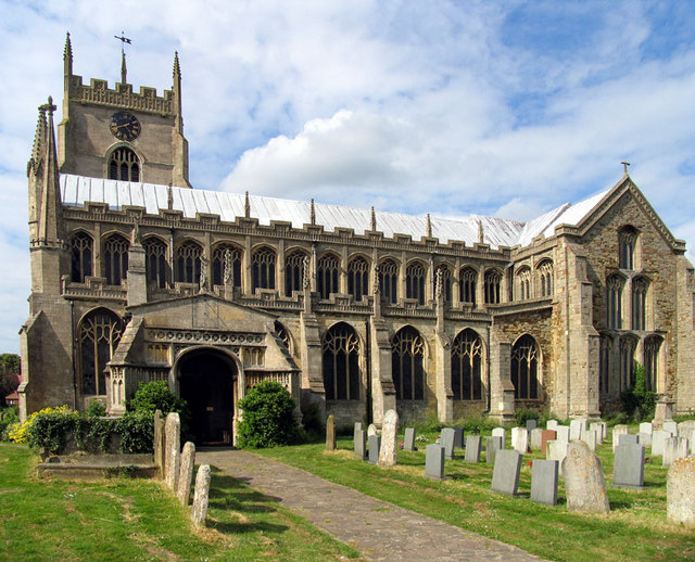
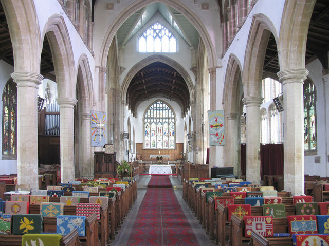
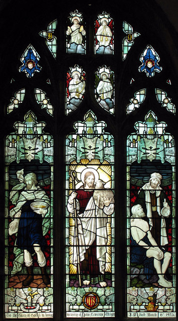
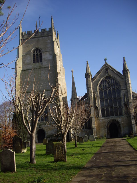
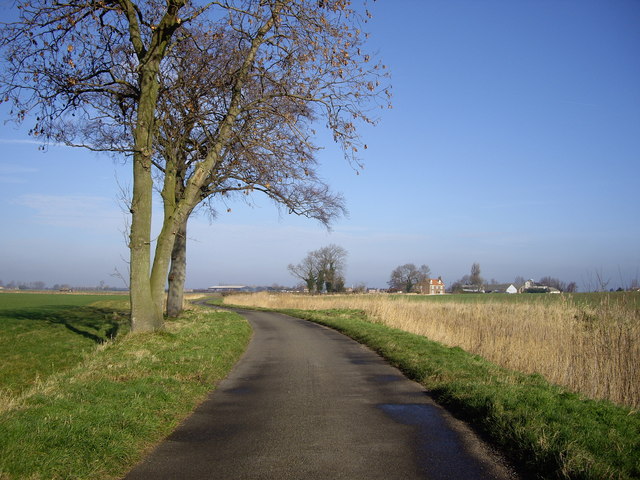
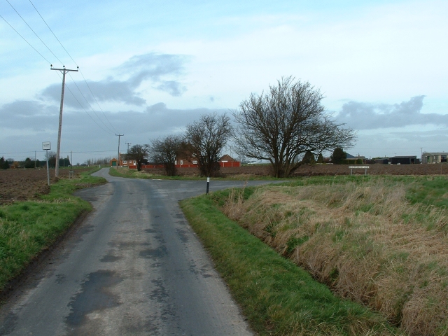
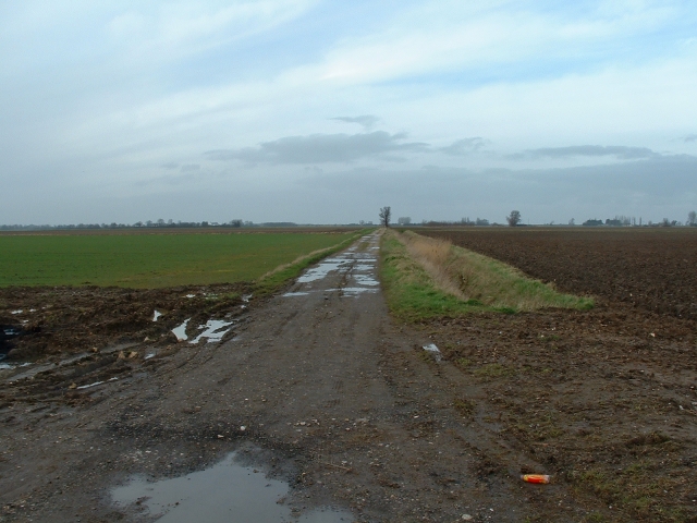
South Green Images

Images are sourced within 2km of 52.754688/0.283174 or Grid Reference TF5419. Thanks to Geograph Open Source API. All images are credited.

Church of St. Clement, Terrington St Clement <span class="nowrap"><a title="https://historicengland.org.uk/listing/the-list/list-entry/1237112?section=official-list-entry" rel="nofollow ugc noopener" href="https://historicengland.org.uk/listing/the-list/list-entry/1237112?section=official-list-entry">Link</a><img style="margin-left:2px;" alt="External link" title="External link - shift click to open in new window" src="https://s1.geograph.org.uk/img/external.png" width="10" height="10"/></span>
Church of St. Clement, Terrington St Clement
Terrington St Clement Parish Church: mid-September 2022 During a great walking week-end in Norfolk with two friends from my school days (1972 - 1979) there were times when I nipped off in the car to look at churches and other historical features: these are they!
Terrington St Clement Parish Church: mid-September 2022
During a great walking week-end in Norfolk with two friends from my school days (1972 - 1979) there were times when I nipped off in the car to look at churches and other historical features: these are they!
Terrington St Clement Churchyard
Terrington St Clement: Fenced off horse grazing areas
Terrington St Clement, St Clement's Church: Southern aspect
A17 eastbound nears Market Lane junction
A17 eastbound at South Croft Field
A17 at Moat Road junction
St Clement's Church The Church of St Clement, Terrington St Clement. Known as The Cathedral of the Marshes
St Clement's Church
The Church of St Clement, Terrington St Clement. Known as The Cathedral of the Marshes
Dack grave - Wesleyan churchyard, Terrington St Clement The Dack brothers were commemorated with a civilian headstone, rather than the simpler one issued by the War Graves Commission
Dack grave - Wesleyan churchyard, Terrington St Clement
The Dack brothers were commemorated with a civilian headstone, rather than the simpler one issued by the War Graves Commission
St Clement, Terrington St Clement, Norfolk
St Clement, Terrington St Clement, Norfolk - East end
St Clement, Terrington St Clement, Norfolk - Window The Good Shepherd
St Clement, Terrington St Clement, Norfolk - Window
The Good Shepherd
St Clements Church, Terrington St Clements Oranges and lemons... This picture shows the tower being separate from the main church building.
St Clements Church, Terrington St Clements
Oranges and lemons... This picture shows the tower being separate from the main church building.
Orange Row, Terrington St Clement ...Sadly, no Lemon Row that I could find. Once again, none of these roads are great for meeting large vehicles!
Orange Row, Terrington St Clement
...Sadly, no Lemon Row that I could find. Once again, none of these roads are great for meeting large vehicles!
Junction of Craske Lane and Bushmeadow Lane An ancient road junction on the outskirts of Terrington St Clement
Junction of Craske Lane and Bushmeadow Lane
An ancient road junction on the outskirts of Terrington St Clement
Track off Roman Bank, Terrington St Clement A farm track runs north from the evocatively named 'Roman Bank' on the north-western edge of Terrington.
Track off Roman Bank, Terrington St Clement
A farm track runs north from the evocatively named 'Roman Bank' on the north-western edge of Terrington.
Show me another place!

South Green is located at Grid Ref: TF5419 (Lat: 52.754688, Lng: 0.283174)

Administrative County: Norfolk

District: King's Lynn and West Norfolk

Police Authority: Norfolk

What 3 Words

///include.received.regretted. Near Terrington St Clement, Norfolk

Related Wikis

Bellmount

Bellmount is a village in Norfolk, England.

Terrington St Clement

Terrington St Clement is a village and civil parish in King's Lynn and West Norfolk borough and district in Norfolk, England. It is in the drained marshlands...

St Clement's High School

St Clement's High School is a coeducational secondary school with academy status, located in the village of Terrington St Clement, in the English county...

Terrington railway station

Terrington railway station is a former station in Terrington St Clement, Norfolk. It opened in 1866 and was closed in 1959. It was on the Midland and Great...

Walpole Cross Keys

Walpole Cross Keys is a village and civil parish in the English county of Norfolk. It covers an area of 4.03 km2 (1.56 sq mi) and had a population of 469...

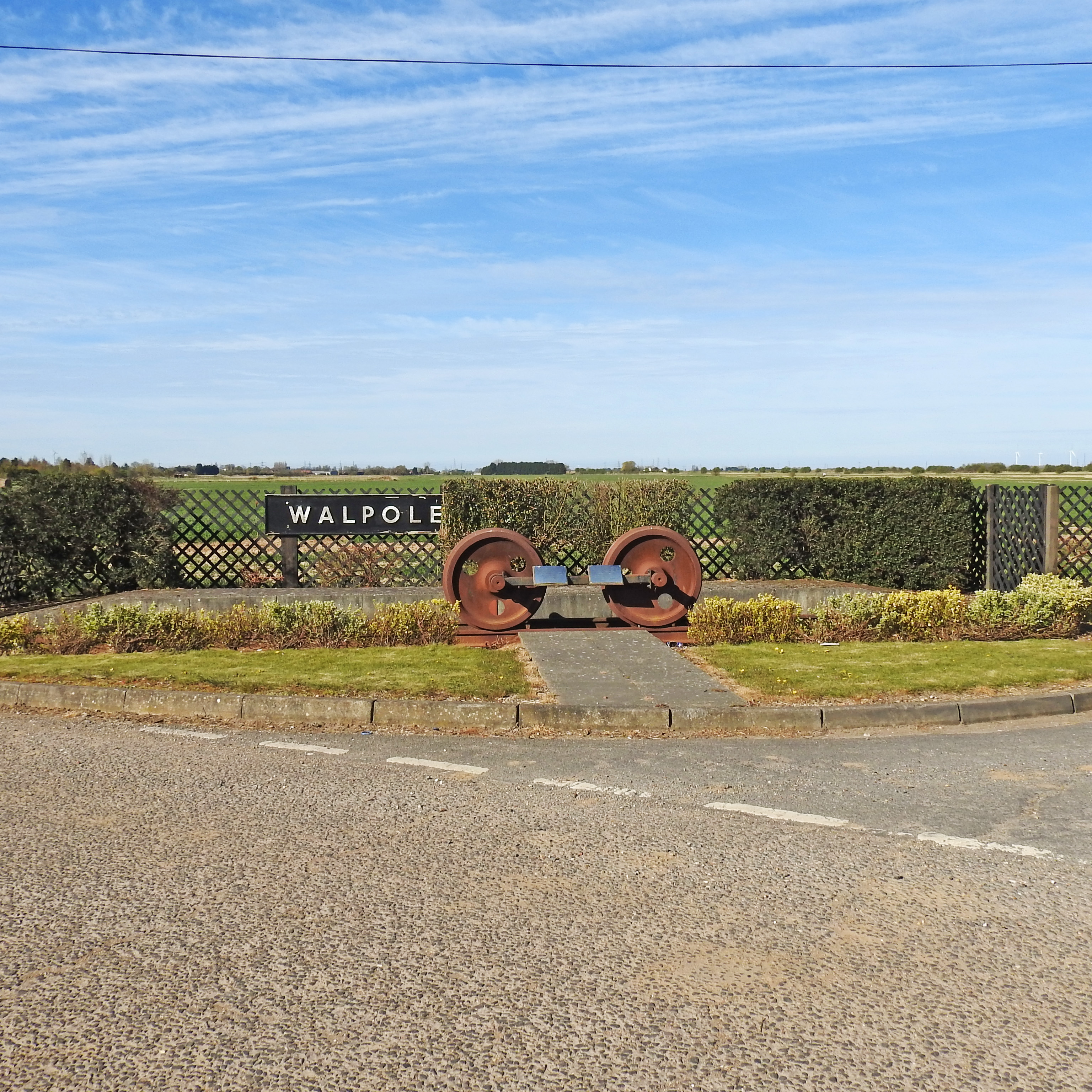
Walpole railway station (England)

Walpole railway station was a station in Norfolk. It is now disused. First opened in 1882, it was part of the Midland and Great Northern Joint Railway...

Clenchwarton railway station

Clenchwarton Railway Station is a former train station in Clenchwarton, Norfolk. It was part of the Midland and Great Northern Joint Railway line from...

Tilney All Saints

Tilney All Saints is a civil parish in the English county of Norfolk. It covers an area of 11.56 km2 (4.46 sq mi) and had a population of 563 in 230 households...

Nearby Amenities

Located within 500m of 52.754688,0.283174
Bus Stop
Sutton Road, adj
Bus: yes
Naptan AtcoCode: 2900T0514
Naptan Bearing: SW
Naptan BusStopType: CUS
Naptan CommonName: Sutton Road
Naptan Indicator: adj
Naptan Landmark: Hay Green Road
Naptan Locality: South Green
Naptan NaptanCode: nfodwpjw
Naptan PlusbusZoneRef: KLYNN
Naptan ShortCommonName: Sutton Road
Naptan Street: Sutton Road
Naptan Verified: no
Public Transport: platform
Source: naptan_import
Lat/Long: 52.7514597/0.281197
Bus Stop
Mill Close, adj
Bus: yes
Fixme: Bus stops are tagged with different names on each side of the street? Google also has them names like this. I'm not sure what their actual names are.
Naptan AtcoCode: 2900T0517
Naptan Bearing: NE
Naptan CommonName: Mill Close
Naptan Indicator: adj
Naptan Landmark: Mill Close
Naptan Locality: South Green
Naptan NaptanCode: nfodwpmd
Naptan PlusbusZoneRef: KLYNN
Naptan Street: Sutton Road
Naptan Verified: no
Operator: Stagecoach
Public Transport: platform
Source: naptan_import
Lat/Long: 52.7515075/0.2810513
Bus Stop
Bus Shelter, adj
Bus: yes
Naptan AtcoCode: 2900T055
Naptan Bearing: E
Naptan CommonName: Bus Shelter
Naptan Indicator: adj
Naptan Landmark: Bus Shelter
Naptan Locality: South Green
Naptan NaptanCode: nfogpdjg
Naptan PlusbusZoneRef: KLYNN
Naptan ShortCommonName: Sutton Road
Naptan Street: Sutton Road
Naptan Verified: no
Public Transport: platform
Source: naptan_import
Lat/Long: 52.7542045/0.2876093
Bus Stop
Bus Shelter, opp
Bus: yes
Naptan AtcoCode: 2900T056
Naptan Bearing: E
Naptan CommonName: Bus Shelter
Naptan Indicator: opp
Naptan Landmark: opp Bus Shelter
Naptan Locality: South Green
Naptan NaptanCode: nfogpdjm
Naptan PlusbusZoneRef: KLYNN
Naptan Street: Sutton Road
Naptan Verified: no
Public Transport: platform
Source: naptan_import
Lat/Long: 52.7540359/0.2874967
Noexit: yes
Lat/Long: 52.7515519/0.2810352
Turning Circle
Lat/Long: 52.7516574/0.2809233
Eastgate Farm
Place: farm
Lat/Long: 52.7536019/0.2791936
Portlass Farm
Place: farm
Lat/Long: 52.7582295/0.2795273
South Green
Place: locality
Lat/Long: 52.75502/0.2822562
Orange Farm
Historic Place: farm
Lat/Long: 52.7514094/0.2816082
Post Box
Operator: Royal Mail
Post Box Mounting: pier
Post Box Type: lamp
Ref: PE34 66
Royal Cypher: EIIR
Royal Cypher Wikidata: Q33102113
Lat/Long: 52.7507187/0.2798752
Telephone
Booth: K6
Covered: booth
Man Made: telephone_box
Lat/Long: 52.7507425/0.2798909
Addr City: King's Lynn
Addr Country: GB
Addr Postcode: PE34 4RH
Addr Suburb: Terrington St Clement
Building: yes
Lat/Long: 52.7568958/0.286814
Addr City: King's Lynn
Addr Country: GB
Addr Postcode: PE34 4RL
Addr Suburb: Terrington St Clement
Building: yes
Lat/Long: 52.7570159/0.2859235
Addr City: King's Lynn
Addr Country: GB
Addr Postcode: PE34 4RN
Addr Suburb: Terrington St Clement
Building: yes
Lat/Long: 52.7572367/0.2859127
Post Box
Operator: Royal Mail
Post Box Type: lamp
Ref: PE34 112D
Royal Cypher: EIIR
Royal Cypher Wikidata: Q33102113
Lat/Long: 52.7540323/0.2857062
The data included in this document is from www.openstreetmap.org. The data is made available under ODbL.

Have you been to South Green?

Leave your review of South Green below (or comments, questions and feedback).