Great Chesterford Common
Downs, Moorland in Essex Uttlesford
England
Great Chesterford Common

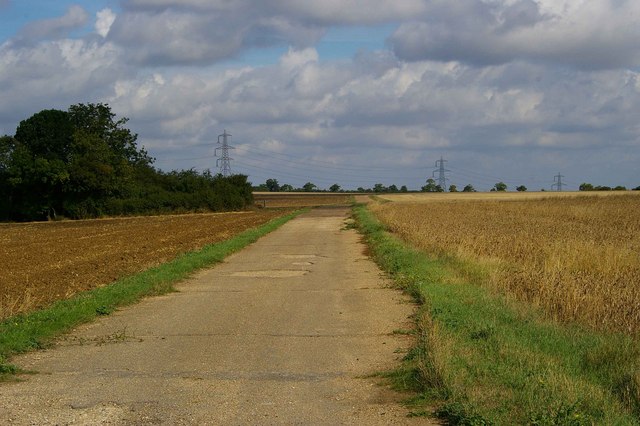
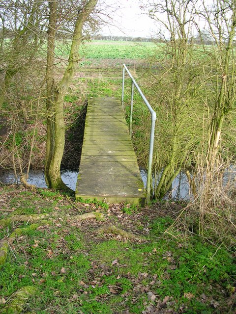
Great Chesterford Common is a picturesque open space located in the village of Great Chesterford in Essex, England. Covering an area of approximately 65 acres, it is characterized by its diverse landscape comprising of downs and moorland. The common is situated on the outskirts of the village, providing a tranquil retreat for both locals and visitors alike.
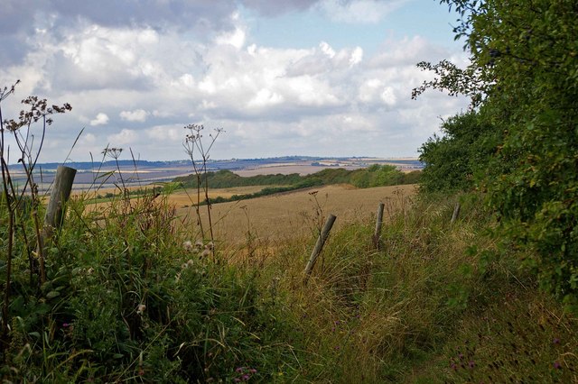
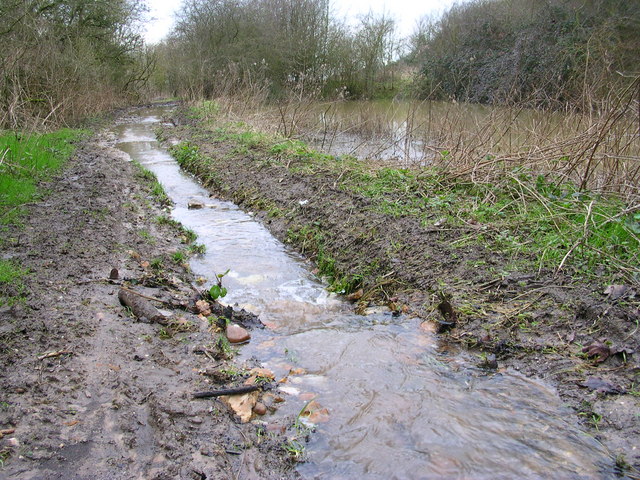
The downs area of Great Chesterford Common is a gently sloping grassland, adorned with patches of wildflowers during the spring and summer months. It offers panoramic views of the surrounding countryside, with its open expanse attracting walkers, joggers, and picnickers. The grassy downs are home to a variety of wildlife, including rabbits, squirrels, and numerous bird species, making it a haven for nature enthusiasts.
Adjacent to the downs, the moorland section of the common is characterized by its heather-covered terrain and scattered patches of gorse. This part of the common provides a unique habitat for several rare plant species, such as marsh orchids and sundews. The moorland also offers a different landscape for visitors to explore, with its undulating terrain and winding footpaths.
Great Chesterford Common is managed by the local council, ensuring its preservation and accessibility for the community. The common is easily accessible, with several entrance points and ample parking available nearby. It is a popular spot for leisure activities such as dog walking, kite flying, and nature observation.
Overall, Great Chesterford Common is a beautiful and diverse natural space, offering a peaceful and scenic retreat for visitors to enjoy the stunning downs and moorland landscapes.
If you have any feedback on the listing, please let us know in the comments section below.
Great Chesterford Common Images
Images are sourced within 2km of 52.072902/0.25165722 or Grid Reference TL5444. Thanks to Geograph Open Source API. All images are credited.


Great Chesterford Common is located at Grid Ref: TL5444 (Lat: 52.072902, Lng: 0.25165722)
Administrative County: Essex
District: Uttlesford
Police Authority: Essex
What 3 Words
///departure.spicy.elephant. Near Linton, Cambridgeshire
Nearby Locations
Related Wikis

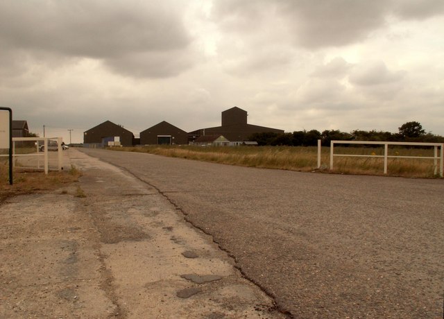
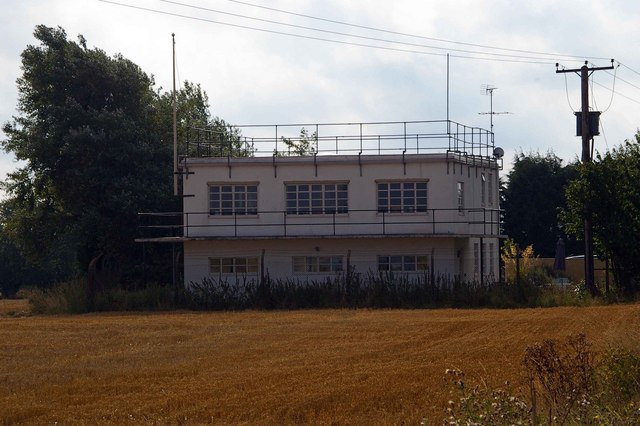
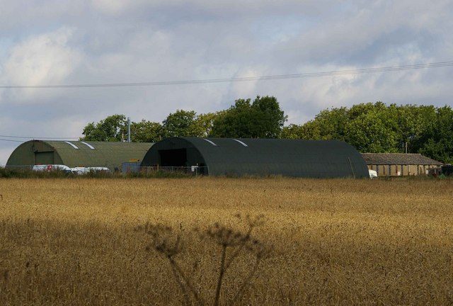
RAF Little Walden
Royal Air Force Little Walden or more simply RAF Little Walden is a former Royal Air Force station primarily used by the United States Army Air Forces...

Hadstock
Hadstock is a village in Essex, England, about 6 miles (10 km) from Saffron Walden. It is on the county boundary with Cambridgeshire and about 9 miles...

Hildersham Wood
Hildersham Wood is a 7.7-hectare (19-acre) biological Site of Special Scientific Interest south of Hildersham in Cambridgeshire.The principal trees in...

Nunn Wood
Nunn Wood is a 9.7-hectare (24-acre) biological Site of Special Scientific Interest between Great Chesterford and Ashdon in Essex, England.The site is...
Little Walden
Little Walden is a small settlement in the Uttlesford district, in the English county of Essex. It lies about 3 miles (5 km) north of the market town of...

Linton railway station (Cambridgeshire)
Linton railway station was a railway station in Linton, Cambridgeshire on the Stour Valley Railway. It closed in 1967. The station house is H-shaped and...

Linton Village College
Linton Village College is a secondary school in Linton, South Cambridgeshire, England. Established in 1937 as a village college, the school now has academy...

Linton, Cambridgeshire
Linton is a village and civil parish in Cambridgeshire, England, on the border with Essex. The village is approximately 8 miles (13 km) southeast from...
Nearby Amenities
Located within 500m of 52.072902,0.25165722Have you been to Great Chesterford Common?
Leave your review of Great Chesterford Common below (or comments, questions and feedback).