Catley Park

Downs, Moorland in Cambridgeshire South Cambridgeshire

England

Catley Park

Hadstock The village green. Looking east from the northeast corner of the grid square.
Hadstock Credit: Alan Simkins

Catley Park is a picturesque estate located in Cambridgeshire, England. Spread across vast grounds, it spans over a combination of downs and moorland landscapes. Known for its exceptional natural beauty, the park offers visitors a serene and tranquil retreat from the hustle and bustle of city life.

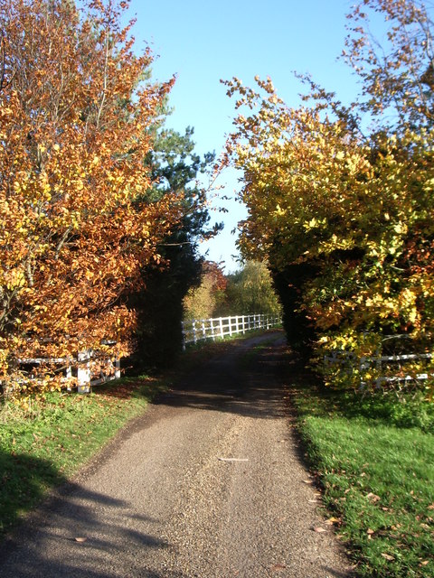
The downs at Catley Park are characterized by rolling hills and expansive grasslands. These open spaces provide ample opportunities for leisure activities such as picnicking, walking, and kite flying. The downs are also home to a variety of wildlife, including rabbits, hares, and various bird species, making it a popular destination for nature enthusiasts and birdwatchers.

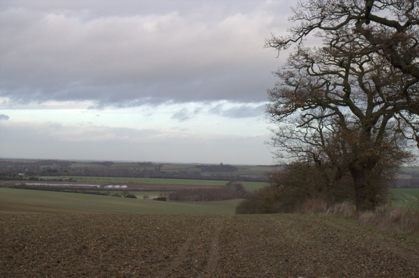
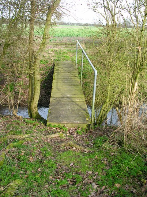
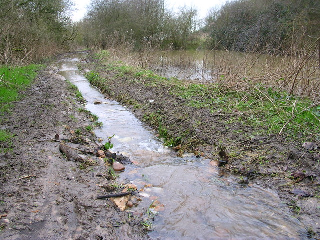
In contrast, the moorland area of Catley Park boasts a unique ecosystem characterized by heather-covered expanses, marshes, and peat bogs. This diverse habitat supports a range of plant and animal life, including rare species such as the European stonechat and the Dartford warbler. Walking trails wind through the moorland, allowing visitors to explore and appreciate the natural surroundings.

The park is also home to a stately manor house, which dates back to the 18th century. With its elegant architecture and well-manicured gardens, the manor house adds a touch of grandeur to the already stunning landscape.

Catley Park is a popular destination for both locals and tourists seeking a peaceful and idyllic setting. Whether one wishes to explore the downs, meander through the moorland, or simply relax amidst the beauty of nature, Catley Park offers a truly enchanting experience.

If you have any feedback on the listing, please let us know in the comments section below.
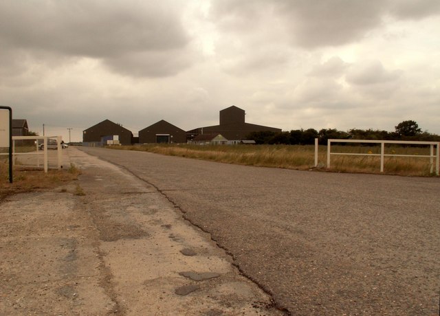
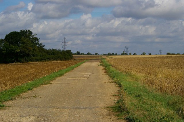
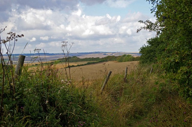
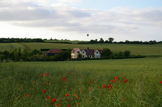
Catley Park Images

Images are sourced within 2km of 52.081096/0.24779326 or Grid Reference TL5444. Thanks to Geograph Open Source API. All images are credited.

Hadstock The village green. Looking east from the northeast corner of the grid square.
Hadstock
The village green. Looking east from the northeast corner of the grid square.
Icknield way path leading to Linton Linton water tower on the horizon at about 110m.
Icknield way path leading to Linton
Linton water tower on the horizon at about 110m.
FDL, Hadstock Common, Essex These buildings belong to a company called Fuerst Day Lawson.
FDL, Hadstock Common, Essex
These buildings belong to a company called Fuerst Day Lawson.
St. Botolph's church, Hadstock, Essex This is a very interesting church, which contains rare evidence of an 11th century building. It has remains of Saxon transepts, which are a rarity. Other parts are 14th century. The church stands on high ground at the centre of the village.
St. Botolph's church, Hadstock, Essex
This is a very interesting church, which contains rare evidence of an 11th century building. It has remains of Saxon transepts, which are a rarity. Other parts are 14th century. The church stands on high ground at the centre of the village.
Little Walden Path This bridle path follows the perimeter track of <a href="https://www.geograph.org.uk/photo/221842">TL5543 : RAF Little Walden</a> as far as the hedge it then takes a sharp left turn and disappears through the trees.
Little Walden Path
This bridle path follows the perimeter track of TL5543 : RAF Little Walden as far as the hedge it then takes a sharp left turn and disappears through the trees.
Bridle Path Near Burtonwood Farm This vista is further along the <a href="https://www.geograph.org.uk/photo/221860">TL5443 : Little Walden Path</a> to the southeast of Burtonwood Farm. As you can tell from the length of the grass it is not well used by horses!
Bridle Path Near Burtonwood Farm
This vista is further along the TL5443 : Little Walden Path to the southeast of Burtonwood Farm. As you can tell from the length of the grass it is not well used by horses!
Iknield Way Trig This Triangulation Pillar is just off the Iknield Way long distance footpath. At this point it follows the Essex Cambridgeshire border. The pillar is a few metres into Cambridgeshire.
Iknield Way Trig
This Triangulation Pillar is just off the Iknield Way long distance footpath. At this point it follows the Essex Cambridgeshire border. The pillar is a few metres into Cambridgeshire.
Esxbridgshire This is the Icknield Way long-distance footpath. At this point it follows the Essex/Cambridgeshire border. Cambridgeshire is to the left and Essex is to the right.
Esxbridgshire
This is the Icknield Way long-distance footpath. At this point it follows the Essex/Cambridgeshire border. Cambridgeshire is to the left and Essex is to the right.
Harrison Sayer Reserve This is one of two surviving fuel tanks of <a href="https://www.geograph.org.uk/photo/221842">TL5543 : RAF Little Walden</a> they are located on the Harrison Sayer nature reserve this is run by Essex Wildlife Trust see <span class="nowrap"><a title="http://www.essexwt.org.uk/" rel="nofollow ugc noopener" href="http://www.essexwt.org.uk/">Link</a><img style="margin-left:2px;" alt="External link" title="External link - shift click to open in new window" src="https://s1.geograph.org.uk/img/external.png" width="10" height="10"/></span> for more info. The building in the background is <a href="https://www.geograph.org.uk/photo/200416">TL5543 : FDL, Hadstock Common, Essex</a> Continue on a virtual tour of Wildlife Trust Reserves in Essex by visiting <a href="https://www.geograph.org.uk/photo/1319878">TQ5099 : Hawksmere Springs</a>
Harrison Sayer Reserve
This is one of two surviving fuel tanks of TL5543 : RAF Little Walden they are located on the Harrison Sayer nature reserve this is run by Essex Wildlife Trust see LinkExternal link for more info. The building in the background is TL5543 : FDL, Hadstock Common, Essex Continue on a virtual tour of Wildlife Trust Reserves in Essex by visiting TQ5099 : Hawksmere Springs
Balloon over Grumble Hall
Bridleway near Crave Hall on Icknield Way
Inside Hildersham Wood
Hedgerow and fields
Hedgerow and fields
Shadow of giants I suppose the lines above make these buildings uninhabitable.
Shadow of giants
I suppose the lines above make these buildings uninhabitable.
Nice bridge on a nice flat path.
Bunker 3 clicks Northwest of the United States Air Base, disused.
Bunker
3 clicks Northwest of the United States Air Base, disused.
Foot waterway Shouldn't there be another path for the water? Junction with stream?
Foot waterway
Shouldn't there be another path for the water? Junction with stream?
Bluebells in Hildersham Wood
Show me another place!

Catley Park is located at Grid Ref: TL5444 (Lat: 52.081096, Lng: 0.24779326)

Administrative County: Cambridgeshire

District: South Cambridgeshire

Police Authority: Cambridgeshire

What 3 Words

///fled.scorching.deeper. Near Linton, Cambridgeshire

Related Wikis

Hildersham Wood

Hildersham Wood is a 7.7-hectare (19-acre) biological Site of Special Scientific Interest south of Hildersham in Cambridgeshire.The principal trees in...

Hadstock

Hadstock is a village in Essex, England, about 6 miles (10 km) from Saffron Walden. It is on the county boundary with Cambridgeshire and about 9 miles...

RAF Little Walden

Royal Air Force Little Walden or more simply RAF Little Walden is a former Royal Air Force station primarily used by the United States Army Air Forces...

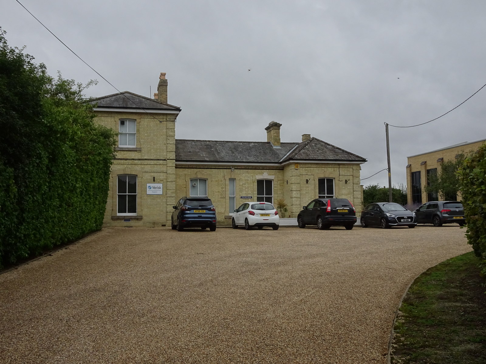
Linton railway station (Cambridgeshire)

Linton railway station was a railway station in Linton, Cambridgeshire on the Stour Valley Railway. It closed in 1967. The station house is H-shaped and...

Granta School

Granta School is a community special school in Linton, South Cambridgeshire, England. Established in 2006, the school is designed to assist with moderate...

Linton Village College

Linton Village College is a secondary school in Linton, South Cambridgeshire, England. Established in 1937 as a village college, the school now has academy...

Linton, Cambridgeshire

Linton is a village and civil parish in Cambridgeshire, England, on the border with Essex. The village is approximately 8 miles (13 km) southeast from...

Nunn Wood

Nunn Wood is a 9.7-hectare (24-acre) biological Site of Special Scientific Interest between Great Chesterford and Ashdon in Essex, England.The site is...

Nearby Amenities

Located within 500m of 52.081096,0.24779326
Power: tower
Lat/Long: 52.0797137/0.2536242
The data included in this document is from www.openstreetmap.org. The data is made available under ODbL.

Have you been to Catley Park?

Leave your review of Catley Park below (or comments, questions and feedback).