Goshold Field

Downs, Moorland in Norfolk King's Lynn and West Norfolk

England

Goshold Field

The Driving Range The driving range at The Eagles Golf Centre.
The Driving Range Credit: Tony Bennett

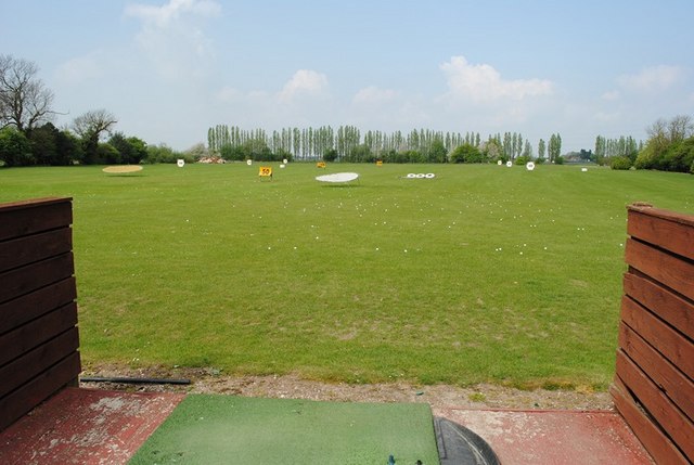
Goshold Field is a vast open space located in Norfolk, England. Situated within the picturesque Norfolk Downs and Moorland area, it covers a significant stretch of land spanning over several hundred acres. This field is renowned for its natural beauty and tranquil surroundings, attracting locals and visitors alike.

The landscape of Goshold Field is characterized by rolling hills, lush green meadows, and scattered patches of woodland. It is home to a diverse range of flora and fauna, including several species of wildflowers, birds, and small mammals. The field is also intersected by a gentle stream, adding to its charm and natural appeal.

The field serves as an ideal location for various outdoor activities. Many visitors come here for leisurely walks, picnics, and family outings, taking advantage of the wide-open spaces and breathtaking views. The field presents an opportunity for nature enthusiasts to explore and observe the local wildlife in its natural habitat.

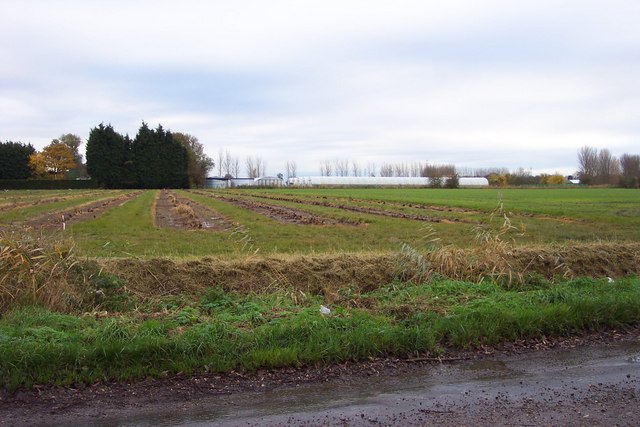
Goshold Field also plays a role in local agriculture, with some sections being used for farming purposes. The fertile soil of the field supports the growth of crops and grazing for livestock, contributing to the agricultural economy of the region.

With its serene atmosphere and unspoiled landscape, Goshold Field offers a peaceful retreat from the hustle and bustle of city life. Its natural beauty and recreational opportunities make it a cherished destination for those seeking a connection with nature and a place to unwind amidst the Norfolk Downs and Moorland.

If you have any feedback on the listing, please let us know in the comments section below.

Goshold Field Images

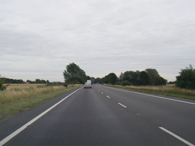
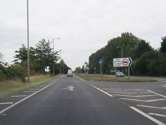
Images are sourced within 2km of 52.739223/0.28558737 or Grid Reference TF5418. Thanks to Geograph Open Source API. All images are credited.

The Driving Range The driving range at The Eagles Golf Centre.
The Driving Range
The driving range at The Eagles Golf Centre.
A17 eastbound nears Market Lane junction
A17 eastbound at South Croft Field
A17 at Moat Road junction
Crop field by Market Lane, Terrington St Clement
Market Lane at the junction of Lynn Road
Traffic jam in Terrington St Clement During a great walking week-end in Norfolk with two friends from my school days (1972 - 1979) there were times when I nipped off in the car to look at churches and other historical features: these are they!
Traffic jam in Terrington St Clement
During a great walking week-end in Norfolk with two friends from my school days (1972 - 1979) there were times when I nipped off in the car to look at churches and other historical features: these are they!
Postbox at the junction of Churchgate Way and Lynn Road
Old Milestone by Shepherdsgate Road, 25yds NorthWest of The Chase, just left of field gate The Milestone is located in dense undergrowth down a ditch on the North of the road.  Parish of Tilney All Saints (Kings Lynn and West Norfolk District). Carved stone post,  design, erected in the 19th Century, very difficult to access. An earlier photograph can be found here: <a title="https://www.geograph.org.uk/photo/6114576" href="https://www.geograph.org.uk/photo/6114576">Link</a> 

Inscription reads:-  
(King's Lynn 9)  

Milestone Society National ID: NO_KLWI9a
Old Milestone by Shepherdsgate Road, 25yds NorthWest of The Chase, just left of field gate
The Milestone is located in dense undergrowth down a ditch on the North of the road.  Parish of Tilney All Saints (Kings Lynn and West Norfolk District). Carved stone post, design, erected in the 19th Century, very difficult to access. An earlier photograph can be found here: Link  Inscription reads:- (King's Lynn 9) Milestone Society National ID: NO_KLWI9a
Terrington St Clement: Farm track
Land Drain near White House Farm The more accessible of the banks of this steep drain near Terrington St John has been recently levelled and mown.
Land Drain near White House Farm
The more accessible of the banks of this steep drain near Terrington St John has been recently levelled and mown.
Power lines, Waterlow Road Many power lines converge at a substation near Walpole St Andrew. The lines emphasise the immense sense of distance and openness of the marshland countryside.
Power lines, Waterlow Road
Many power lines converge at a substation near Walpole St Andrew. The lines emphasise the immense sense of distance and openness of the marshland countryside.
ADAS, Terrington St Clement ADAS is the experimental husbandry farm at Terrington St Clement. It is situated south of the main A17 trunk road.
ADAS, Terrington St Clement
ADAS is the experimental husbandry farm at Terrington St Clement. It is situated south of the main A17 trunk road.
Moat Road pond, Terrington St Clement Within recent memory, this pond and its nearby twin, were open and full of water. This one is scarcely visible beneath vegetation, and the other one has been completely consumed by reeds and undergrowth.
Moat Road pond, Terrington St Clement
Within recent memory, this pond and its nearby twin, were open and full of water. This one is scarcely visible beneath vegetation, and the other one has been completely consumed by reeds and undergrowth.
Station road junction, Terrington St Clement This was once a quiet level crossing on a sleepy rural railway; now it is a notoriously dangerous double junction across the A17.
Station road junction, Terrington St Clement
This was once a quiet level crossing on a sleepy rural railway; now it is a notoriously dangerous double junction across the A17.
Tuxhill Farm Nurseries
Jankinsfield Farm
Jankinsfield Farm
Show me another place!

Goshold Field is located at Grid Ref: TF5418 (Lat: 52.739223, Lng: 0.28558737)

Administrative County: Norfolk

District: King's Lynn and West Norfolk

Police Authority: Norfolk

What 3 Words

///depth.corrupted.birthing. Near Terrington St Clement, Norfolk

Related Wikis

Terrington railway station

Terrington railway station is a former station in Terrington St Clement, Norfolk. It opened in 1866 and was closed in 1959. It was on the Midland and Great...

Terrington St Clement

Terrington St Clement is a village and civil parish in King's Lynn and West Norfolk borough and district in Norfolk, England. It is in the drained marshlands...

Bellmount

Bellmount is a village in Norfolk, England.

Tilney All Saints

Tilney All Saints is a civil parish in the English county of Norfolk. It covers an area of 11.56 km2 (4.46 sq mi) and had a population of 563 in 230 households...

St Clement's High School

St Clement's High School is a coeducational secondary school with academy status, located in the village of Terrington St Clement, in the English county...

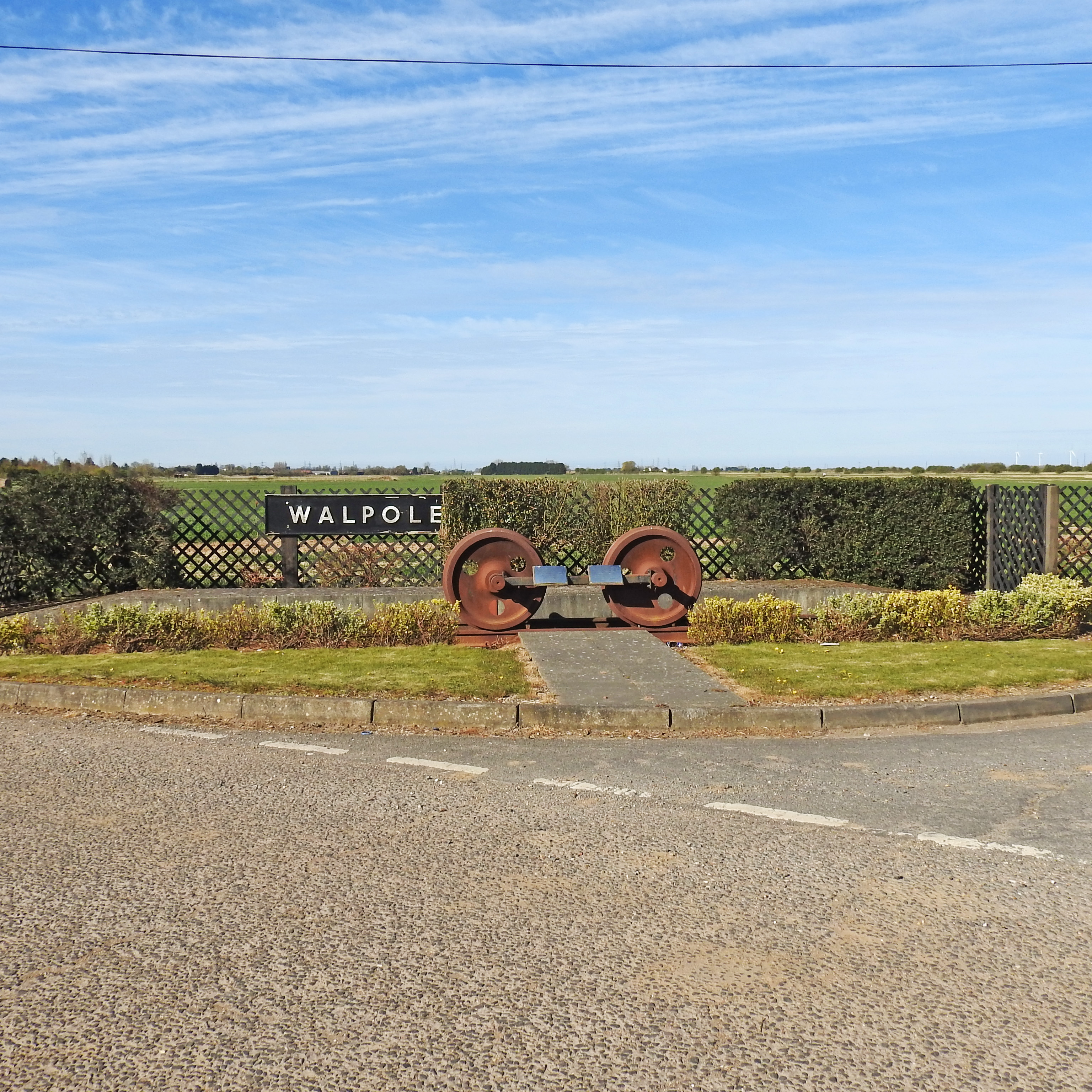
Walpole railway station (England)

Walpole railway station was a station in Norfolk. It is now disused. First opened in 1882, it was part of the Midland and Great Northern Joint Railway...

Clenchwarton railway station

Clenchwarton Railway Station is a former train station in Clenchwarton, Norfolk. It was part of the Midland and Great Northern Joint Railway line from...

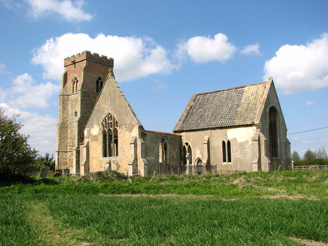
St Mary's Church, Islington, Norfolk

St Mary's Church is a ruined redundant Anglican church in the civil parish of Tilney St Lawrence, Norfolk, England. It is recorded in the National Heritage...

Nearby Amenities

Located within 500m of 52.739223,0.28558737
Post Box, opp
Naptan AtcoCode: 2900T0518
Naptan Bearing: E
Naptan BusStopType: CUS
Naptan CommonName: Post Box
Naptan Indicator: opp
Naptan Landmark: Post Box
Naptan Locality: Hay Green
Naptan NaptanCode: nfodwpmg
Naptan Street: Bullock Road
Naptan Verified: no
Source: naptan_import
Lat/Long: 52.7413019/0.2819849
Post Box, adj
Naptan AtcoCode: 2900T052
Naptan Bearing: W
Naptan BusStopType: CUS
Naptan CommonName: Post Box
Naptan Indicator: adj
Naptan Landmark: Post Box
Naptan Locality: Hay Green
Naptan NaptanCode: nfodwpmp
Naptan Street: Bullock Road
Naptan Verified: no
Source: naptan_import
Lat/Long: 52.7413223/0.2823267
Hay Green
Place: village
Lat/Long: 52.7411435/0.2817192
Goshold Field
Place: locality
Lat/Long: 52.7390656/0.284896
Waterlow Farm
Place: farm
Lat/Long: 52.7355715/0.2851016
Power: pole
Lat/Long: 52.7411245/0.2806663
Power: pole
Lat/Long: 52.7411294/0.2796954
Power: pole
Lat/Long: 52.7409979/0.2819914
Power: pole
Lat/Long: 52.7408956/0.2832171
Power: pole
Lat/Long: 52.7403775/0.2846682
Power: pole
Lat/Long: 52.739767/0.2863312
Power: pole
Lat/Long: 52.7401664/0.2852395
Power: pole
Lat/Long: 52.7392765/0.2877313
Give Way
Lat/Long: 52.739025/0.2895783
Give Way
Lat/Long: 52.7390671/0.2898159
Give Way
Lat/Long: 52.7391348/0.2896675
Give Way
Lat/Long: 52.7391538/0.2895855
Power: pole
Transformer: distribution
Lat/Long: 52.7391401/0.288139
Location Transition: yes
Power: pole
Lat/Long: 52.7389144/0.2926102
Power: pole
Lat/Long: 52.7388267/0.2913013
Power: pole
Lat/Long: 52.738752/0.2903759
Power: pole
Lat/Long: 52.7386854/0.2894023
Give Way
Lat/Long: 52.7372393/0.2845757
Give Way
Lat/Long: 52.7412853/0.282151
Power: pole
Lat/Long: 52.7358369/0.2815917
Power: pole
Lat/Long: 52.7367172/0.280897
Power: pole
Transformer: distribution
Lat/Long: 52.7376851/0.2805778
Power: pole
Lat/Long: 52.7385214/0.2802962
Power: pole
Lat/Long: 52.7394259/0.2799904
Power: pole
Lat/Long: 52.7404173/0.2796324
Give Way
Lat/Long: 52.7379879/0.2816775
Give Way
Lat/Long: 52.7378994/0.2818747
Give Way
Lat/Long: 52.7378799/0.2816011
The data included in this document is from www.openstreetmap.org. The data is made available under ODbL.

Have you been to Goshold Field?

Leave your review of Goshold Field below (or comments, questions and feedback).