Barley Common

Downs, Moorland in Essex Uttlesford

England

Barley Common

Forest Hall Road, Stansted Mountfitchet Forest Hall Road on the edge of the village of Stansted Mountfitchet in north Essex.  This road straddles two Ordnance Survey gridsquares.  The left-hand side of the road is in square TL5123, but the right-hand side and the houses are in TL5124.
Forest Hall Road, Stansted Mountfitchet Credit: Malc McDonald

Barley Common is a picturesque area located in Essex, England. Covering a vast expanse of land, it is characterized by its beautiful downs and moorland landscapes. The common is situated in close proximity to the village of Barley, and its natural beauty attracts both locals and tourists alike.

The downs of Barley Common are rolling hills that offer stunning panoramic views of the surrounding countryside. These hills are covered in lush green grass, interspersed with patches of wildflowers, creating a vibrant and colorful scene. The area is a haven for nature enthusiasts, with a diverse range of flora and fauna calling it home.

In addition to the downs, Barley Common also boasts moorland areas. Moorland is a unique type of habitat characterized by its wet and boggy terrain. The moorland of Barley Common is dotted with heather, bracken, and gorse bushes, providing a rich and diverse habitat for various bird species.

Visitors to Barley Common can enjoy a range of outdoor activities, including hiking, birdwatching, and photography. The common is crisscrossed with footpaths and trails, allowing visitors to explore its natural wonders at their own pace.

Barley Common also holds historical significance, with archaeological evidence suggesting human habitation in the area dating back to the Bronze Age. The common is home to ancient burial mounds and other remnants of past civilizations, adding to its allure for history enthusiasts.

Overall, Barley Common, with its downs, moorland, and rich history, is a truly captivating destination that offers a unique and memorable experience for all who visit.

If you have any feedback on the listing, please let us know in the comments section below.

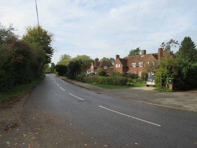
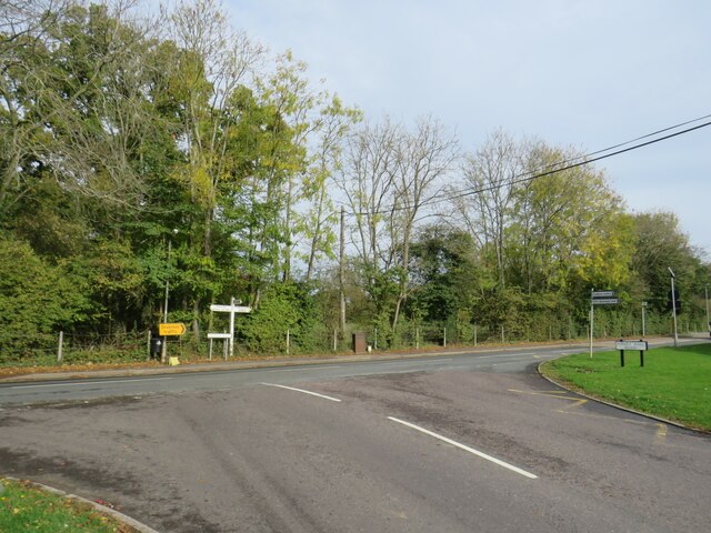
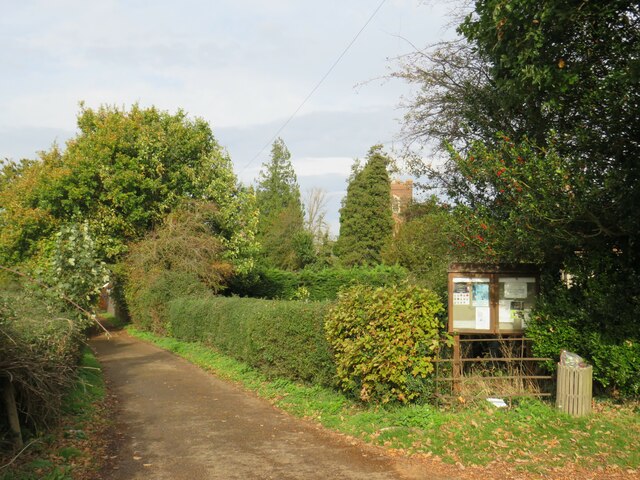
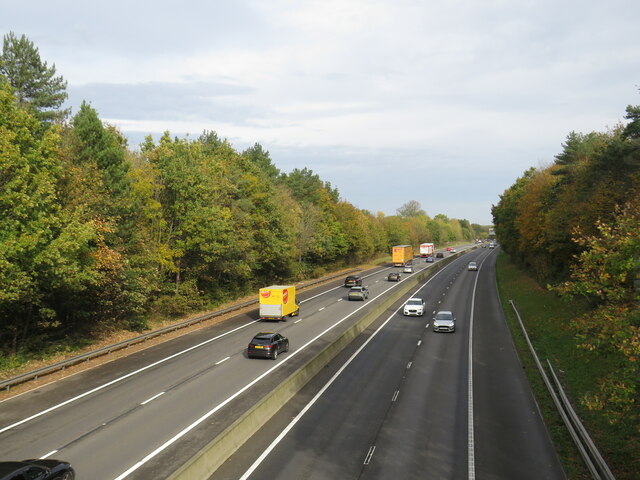
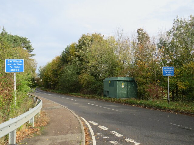
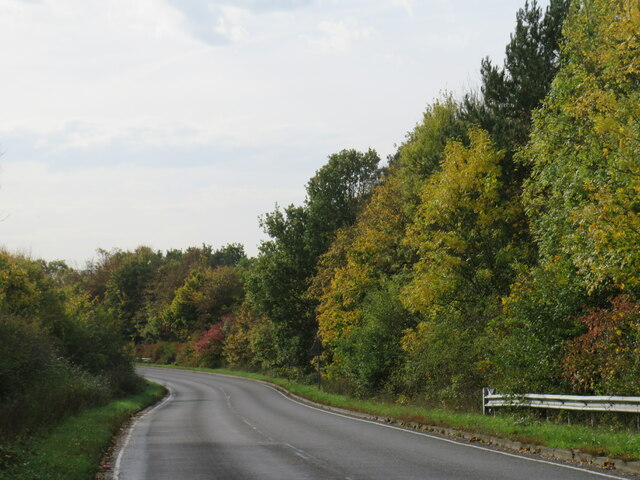
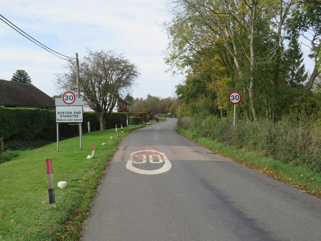
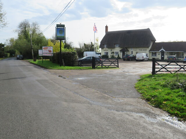
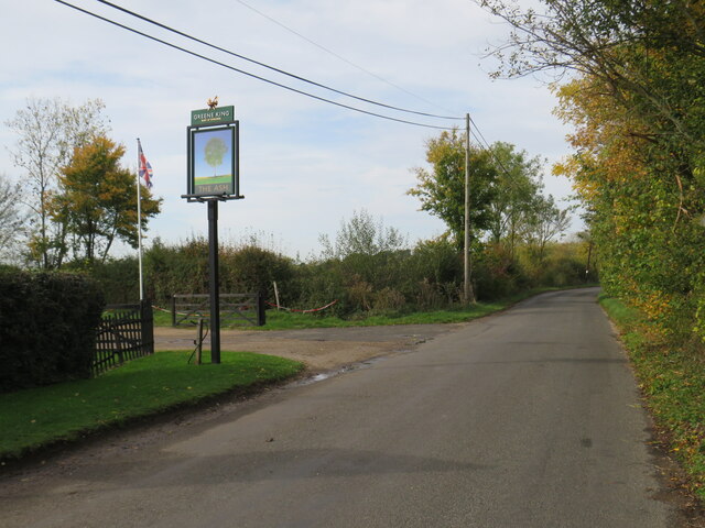
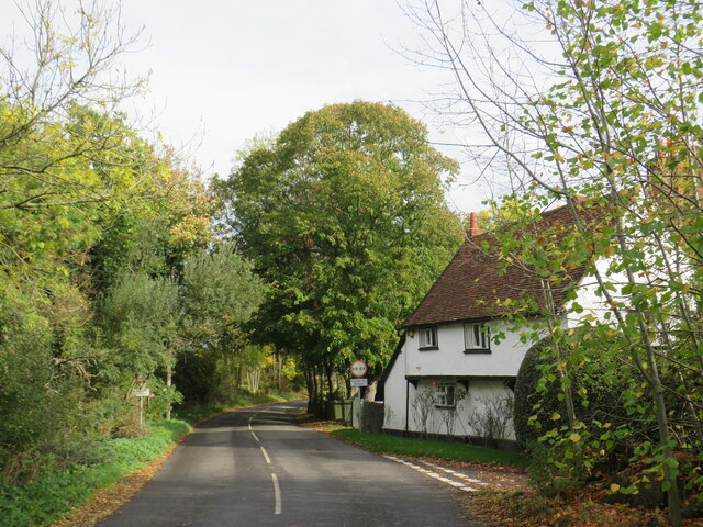
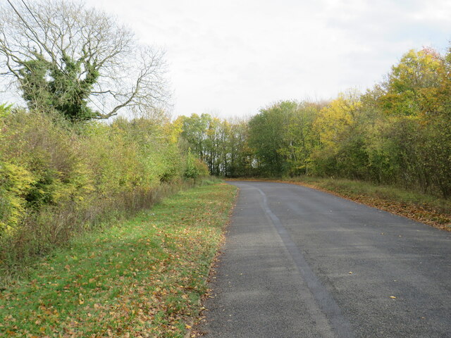
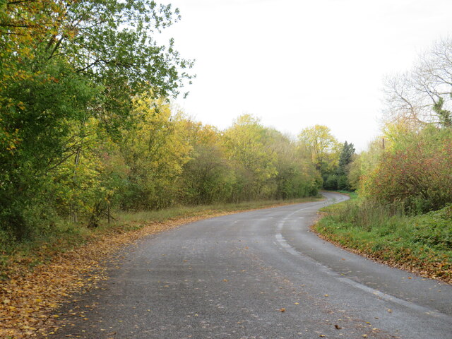
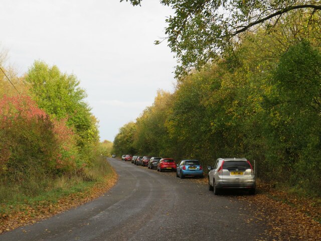
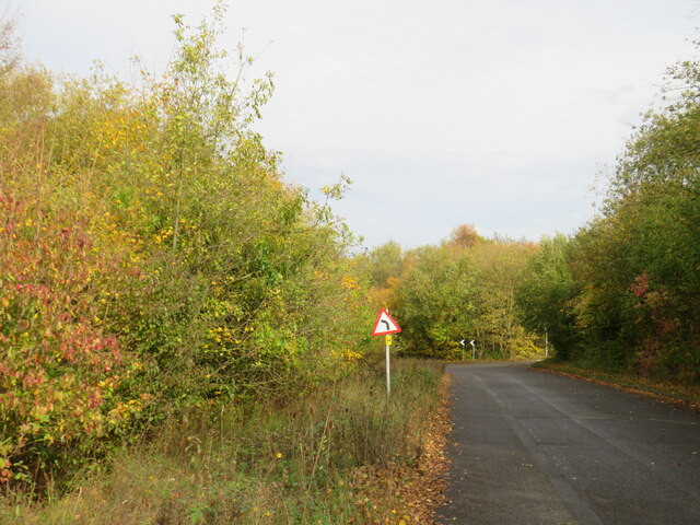
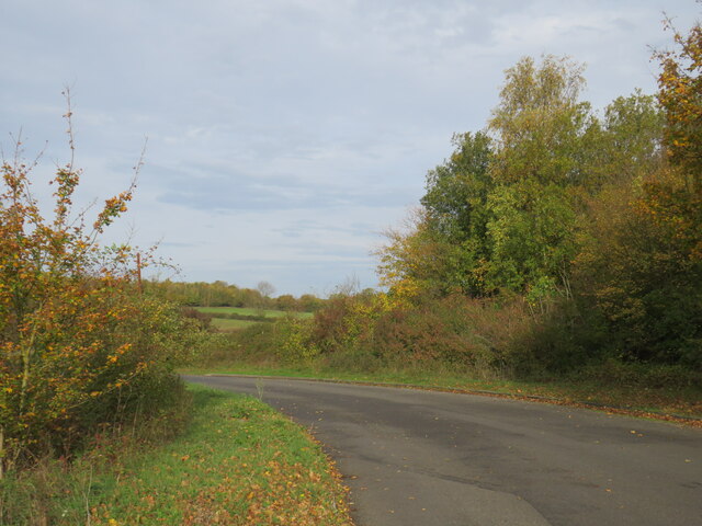
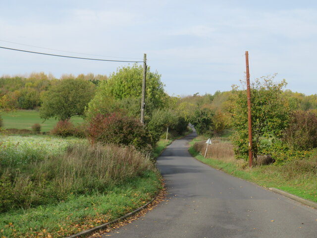
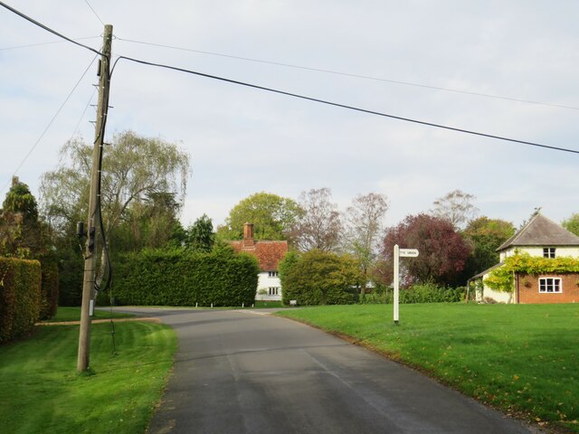
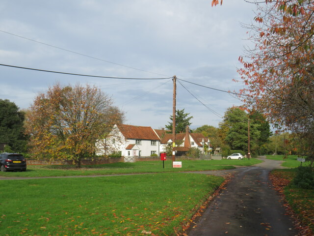
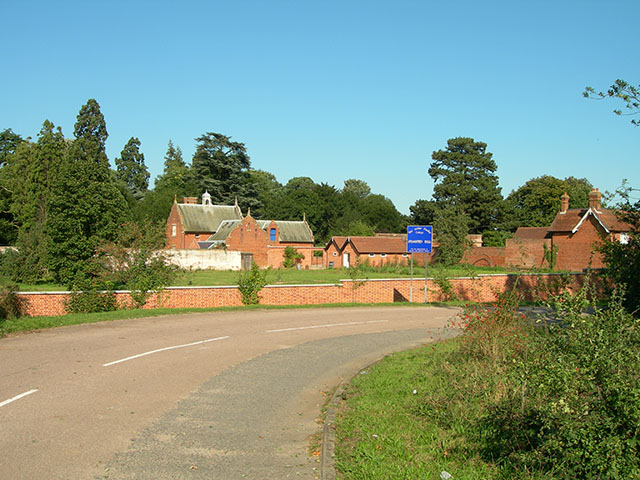
Barley Common Images

Images are sourced within 2km of 51.896572/0.23271257 or Grid Reference TL5324. Thanks to Geograph Open Source API. All images are credited.

Forest Hall Road, Stansted Mountfitchet Forest Hall Road on the edge of the village of Stansted Mountfitchet in north Essex.  This road straddles two Ordnance Survey gridsquares.  The left-hand side of the road is in square TL5123, but the right-hand side and the houses are in TL5124.
Forest Hall Road, Stansted Mountfitchet
Forest Hall Road on the edge of the village of Stansted Mountfitchet in north Essex. This road straddles two Ordnance Survey gridsquares. The left-hand side of the road is in square TL5123, but the right-hand side and the houses are in TL5124.
Forest Hall Road, Stansted Mountfitchet Forest Hall Road at its junction with Church Road, on the edge of the village of Stansted Mountfitchet in north Essex.
Forest Hall Road, Stansted Mountfitchet
Forest Hall Road at its junction with Church Road, on the edge of the village of Stansted Mountfitchet in north Essex.
Lane near Stansted Mountfitchet A lane near the village of Stansted Mountfitchet in north Essex.  The Church of Saint Mary the Virgin peeps through the trees.
Lane near Stansted Mountfitchet
A lane near the village of Stansted Mountfitchet in north Essex. The Church of Saint Mary the Virgin peeps through the trees.
M11 motorway near Stansted Mountfitchet A view of the M11 motorway near the village of Stansted Mountfitchet in north Essex.

This image was taken on a late October day.  The sun is quite low in the sky, trees therefore cast shadows over the southbound carriageway (traffic heading towards the camera).
M11 motorway near Stansted Mountfitchet
A view of the M11 motorway near the village of Stansted Mountfitchet in north Essex. This image was taken on a late October day. The sun is quite low in the sky, trees therefore cast shadows over the southbound carriageway (traffic heading towards the camera).
Bury Lodge Lane, near Stansted Mountfitchet Bury Lodge Lane is a minor road in north Essex, close to Stansted Airport.  The road has a width restriction to prevent large vehicles using it as a through route.
Bury Lodge Lane, near Stansted Mountfitchet
Bury Lodge Lane is a minor road in north Essex, close to Stansted Airport. The road has a width restriction to prevent large vehicles using it as a through route.
Autumn tints on Bury Lodge Lane, near Stansted Mountfitchet Bury Lodge Lane is a minor road in north Essex, near the village of Stansted Mountfitchet.

This image was taken in late October.  Trees alongside the road are displaying autumn tints.
Autumn tints on Bury Lodge Lane, near Stansted Mountfitchet
Bury Lodge Lane is a minor road in north Essex, near the village of Stansted Mountfitchet. This image was taken in late October. Trees alongside the road are displaying autumn tints.
Burton End, near Stansted Mountfitchet Burton End is a small hamlet in north Essex, close to Stansted Airport.
Burton End, near Stansted Mountfitchet
Burton End is a small hamlet in north Essex, close to Stansted Airport.
The Ash pub, Burton End, near Stansted Mountfitchet The Ash pub in the small hamlet of Burton End, in north Essex.
The Ash pub, Burton End, near Stansted Mountfitchet
The Ash pub in the small hamlet of Burton End, in north Essex.
Bury Lodge Lane, Burton End, near Stansted Mountfitchet Bury Lodge Lane passing through the hamlet of Burton End in north Essex.  The sign for The Ash pub stands alongside the road.
Bury Lodge Lane, Burton End, near Stansted Mountfitchet
Bury Lodge Lane passing through the hamlet of Burton End in north Essex. The sign for The Ash pub stands alongside the road.
Belmer Road, Burton End, near Stansted Mountfichet Belmer Road, leading out of the small hamlet of Burton End in north Essex.  The road has a 6'6"" width restriction, to prevent larger vehicles such as lorries using it as a through route.
Belmer Road, Burton End, near Stansted Mountfichet
Belmer Road, leading out of the small hamlet of Burton End in north Essex. The road has a 6'6"" width restriction, to prevent larger vehicles such as lorries using it as a through route.
Belmer Road, near Stansted Airport Belmer Road is a minor road in north Essex countryside.  Stansted Airport lies beyond the row of trees ahead.

This image was taken on a late October day.  Trees are turning yellow as they prepare to shed their leaves for the winter.  Leaves which have already fallen lie either side of the road.
Belmer Road, near Stansted Airport
Belmer Road is a minor road in north Essex countryside. Stansted Airport lies beyond the row of trees ahead. This image was taken on a late October day. Trees are turning yellow as they prepare to shed their leaves for the winter. Leaves which have already fallen lie either side of the road.
Belmer Road, near Stansted Airport Belmer Road is a minor road in north Essex countryside, very close to Stansted Airport.

This image was taken on a late October day.  Trees are turning yellow as they prepare to shed their leaves for the winter.  Leaves which have already fallen lie either side of the road.
Belmer Road, near Stansted Airport
Belmer Road is a minor road in north Essex countryside, very close to Stansted Airport. This image was taken on a late October day. Trees are turning yellow as they prepare to shed their leaves for the winter. Leaves which have already fallen lie either side of the road.
Belmer Road, near Stansted Airport Belmer Road is a minor road in north Essex countryside.  Stansted Airport lies beyond the row of trees to the right.  The parked cars belong to people watching aircraft landing and taking off.

This image was taken on a late October day.  Trees are turning yellow as they prepare to shed their leaves for the winter.  Leaves which have already fallen lie either side of the road.
Belmer Road, near Stansted Airport
Belmer Road is a minor road in north Essex countryside. Stansted Airport lies beyond the row of trees to the right. The parked cars belong to people watching aircraft landing and taking off. This image was taken on a late October day. Trees are turning yellow as they prepare to shed their leaves for the winter. Leaves which have already fallen lie either side of the road.
Belmer Road, near Stansted Airport Belmer Road is a minor road in north Essex countryside.  Stansted Airport lies behind the row of trees on the opposite side of the road.

This image was taken on a late October day.  Trees are turning yellow as they prepare to shed their leaves for the winter.  Leaves which have already fallen lie either side of the road.
Belmer Road, near Stansted Airport
Belmer Road is a minor road in north Essex countryside. Stansted Airport lies behind the row of trees on the opposite side of the road. This image was taken on a late October day. Trees are turning yellow as they prepare to shed their leaves for the winter. Leaves which have already fallen lie either side of the road.
Claypit Hill, near Stansted Airport Claypit Hill is a minor road in north Essex countryside, close to Stansted Airport.

This image was taken on a late October day.  Trees are turning yellow as they prepare to shed their leaves for the winter.  Leaves which have already fallen lie either side of the road.
Claypit Hill, near Stansted Airport
Claypit Hill is a minor road in north Essex countryside, close to Stansted Airport. This image was taken on a late October day. Trees are turning yellow as they prepare to shed their leaves for the winter. Leaves which have already fallen lie either side of the road.
Claypit Hill, near Stansted Airport Claypit Hill is a minor road in north Essex countryside.

This image was taken on a late October day.  Trees are turning yellow as they prepare to shed their leaves for the winter.  Leaves which have already fallen lie to the side of the road.
Claypit Hill, near Stansted Airport
Claypit Hill is a minor road in north Essex countryside. This image was taken on a late October day. Trees are turning yellow as they prepare to shed their leaves for the winter. Leaves which have already fallen lie to the side of the road.
Claypit Hill, Tye Green, near Elsenham Claypit Hill passing through the small hamlet of Tye Green in north Essex.
Claypit Hill, Tye Green, near Elsenham
Claypit Hill passing through the small hamlet of Tye Green in north Essex.
Tye Green, near Elsenham Tye Green is a small hamlet in north Essex.  This image was taken on a late October day.  Trees were shedding their leaves for the winter.
Tye Green, near Elsenham
Tye Green is a small hamlet in north Essex. This image was taken on a late October day. Trees were shedding their leaves for the winter.
Show me another place!

Barley Common is located at Grid Ref: TL5324 (Lat: 51.896572, Lng: 0.23271257)

Administrative County: Essex

District: Uttlesford

Police Authority: Essex

What 3 Words

///bound.dozens.billiard. Near Elsenham, Essex

Related Wikis

Stansted Rural District

Stansted was a rural district in Essex, England from 1894 (1894) to 1934 (1934). It was created under the Local Government Act 1894 from the part of the...

RAF Stansted Mountfitchet

RAF Stansted Mountfitchet is a former Royal Air Force station during the Second World War located near the village of Stansted Mountfitchet in the District...

London Stansted Airport

London Stansted Airport (IATA: STN, ICAO: EGSS) is the tertiary international airport serving London, England. It is located near Stansted Mountfitchet...

Stansted Hall

Stansted or Steanstead Hall is located in Stansted Mountfitchet, Essex, East of England, United Kingdom. It was the country seat of the Earls of Essex...

Nearby Amenities

Located within 500m of 51.896572,0.23271257
Railway: switch
Lat/Long: 51.8928995/0.2317816
Tye Green
Created By: Potlatch 0.10b
Place: hamlet
Lat/Long: 51.8981603/0.2389575
Crossing: uncontrolled
Railway: crossing
Lat/Long: 51.8945783/0.2306714
Crossing: uncontrolled
Railway: crossing
Lat/Long: 51.8945889/0.2307123
Tye Green Junction
Place: locality
Lat/Long: 51.8926081/0.2312163
Barley Common
Place: locality
Lat/Long: 51.8963952/0.2325467
Tye Green Junction
Railway: junction
Lat/Long: 51.8930558/0.2316731
Barrier: stile
Source: survey
Stile: stepover
Lat/Long: 51.8945673/0.2306296
Barrier: stile
Source: survey
Stile: stepover
Lat/Long: 51.8946053/0.2307717
The data included in this document is from www.openstreetmap.org. The data is made available under ODbL.

Have you been to Barley Common?

Leave your review of Barley Common below (or comments, questions and feedback).