Durrel's Wood
Wood, Forest in Essex Uttlesford
England
Durrel's Wood
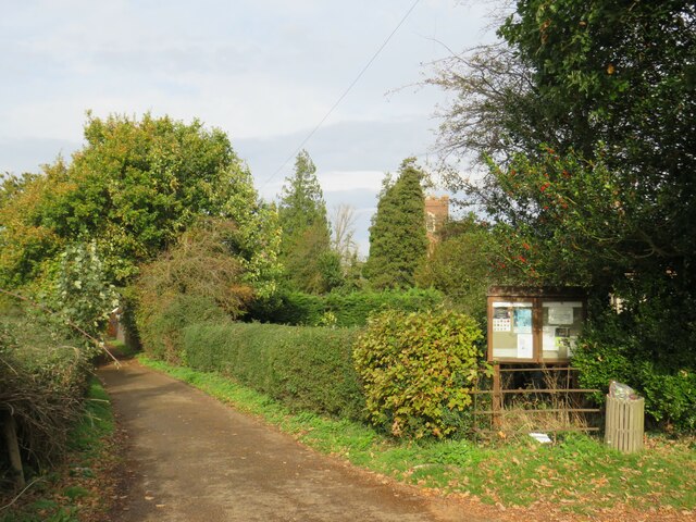
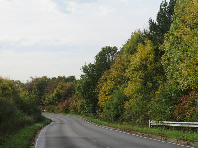
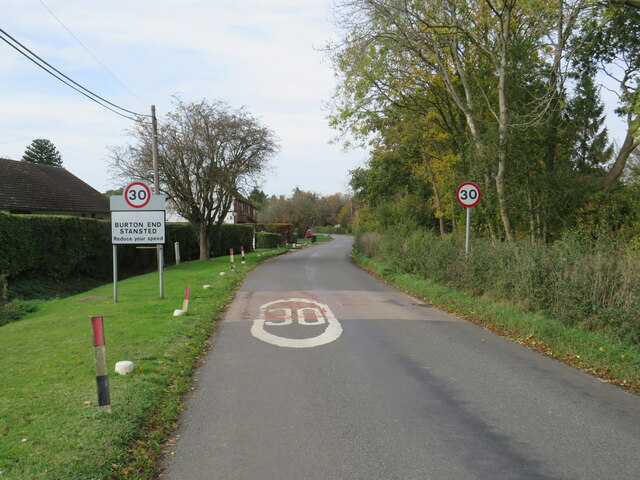
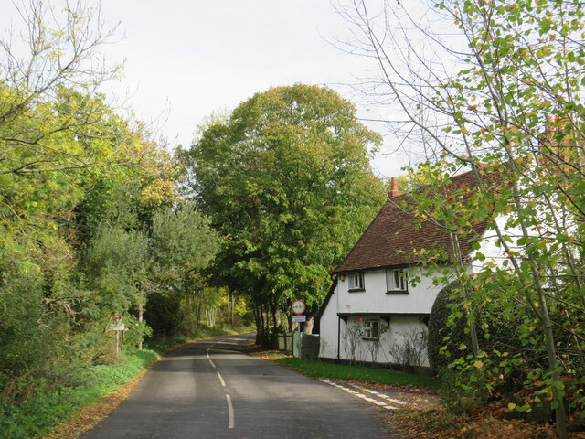
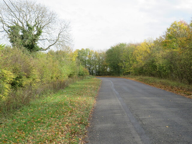
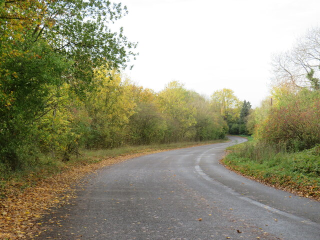
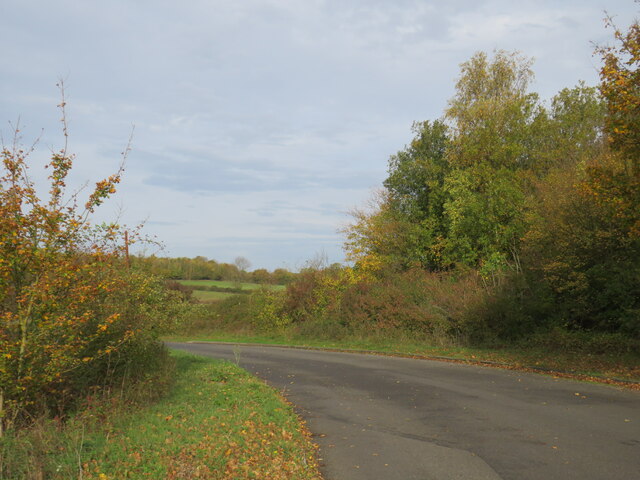
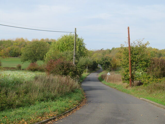
Durrel's Wood is a picturesque forest located in the county of Essex, England. It spans across an area of approximately 100 acres, providing visitors with a tranquil and serene natural environment. The wood is known for its breathtaking beauty, making it a popular destination for nature enthusiasts and those seeking a peaceful retreat.
The forest is characterized by a diverse range of tree species, including oak, beech, and birch, which create a dense canopy overhead, providing shade and shelter for the myriad of wildlife that calls Durrel's Wood home. Visitors can expect to encounter a variety of bird species, such as woodpeckers and owls, as well as small mammals like squirrels and rabbits.
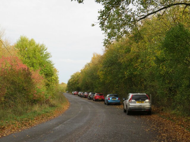
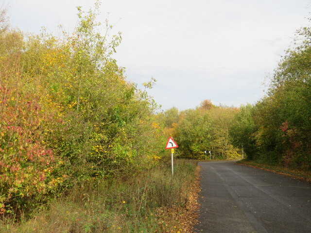
A network of well-maintained walking trails crisscrosses the wood, allowing visitors to explore its hidden gems and discover the abundant flora and fauna. The trails are lined with wildflowers during the spring and summer months, creating a colorful and vibrant backdrop to the woodland experience. Additionally, there are several clearings and picnic spots scattered throughout the forest, providing visitors with the opportunity to relax and enjoy the peaceful surroundings.
Durrel's Wood is also steeped in history, with evidence of human habitation dating back centuries. Ancient earthworks and remnants of old settlements can be found within the wood, offering a glimpse into the area's rich past.
Overall, Durrel's Wood in Essex is a haven of natural beauty and tranquility, offering visitors the chance to immerse themselves in the wonders of the forest and escape the hustle and bustle of everyday life.
If you have any feedback on the listing, please let us know in the comments section below.
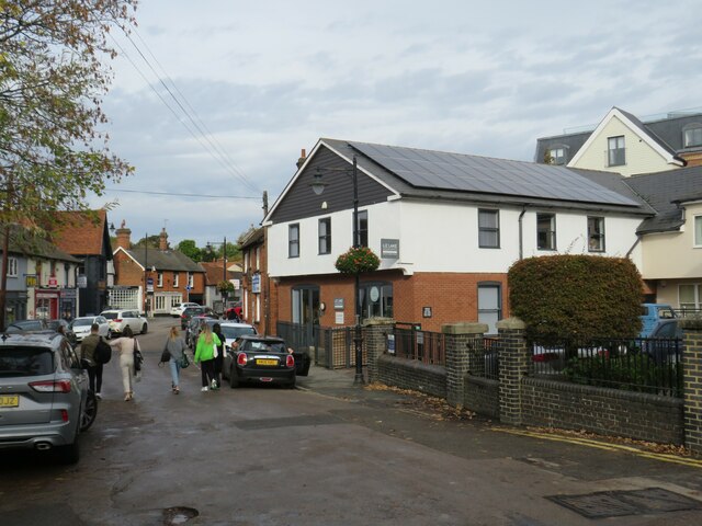
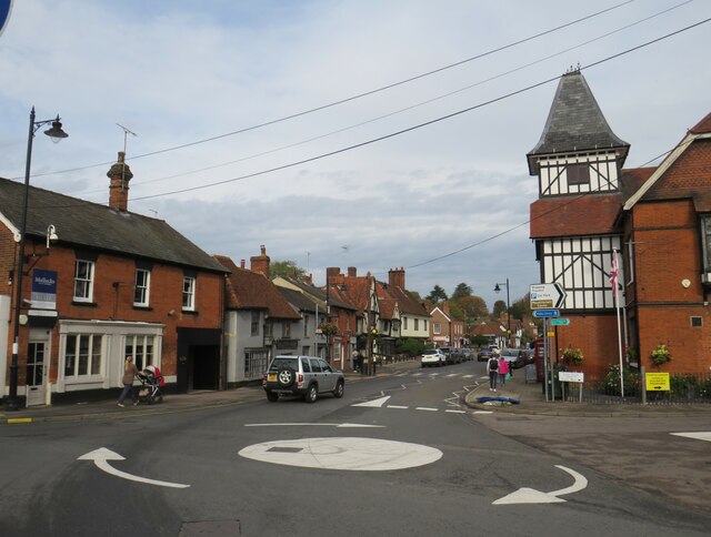
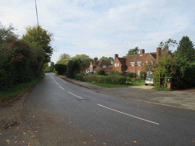
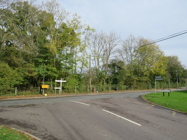
Durrel's Wood Images
Images are sourced within 2km of 51.898765/0.22282056 or Grid Reference TL5324. Thanks to Geograph Open Source API. All images are credited.
Durrel's Wood is located at Grid Ref: TL5324 (Lat: 51.898765, Lng: 0.22282056)
Administrative County: Essex
District: Uttlesford
Police Authority: Essex
What 3 Words
///unfounded.denser.poster. Near Stansted Mountfitchet, Essex
Nearby Locations
Related Wikis

Stansted Rural District
Stansted was a rural district in Essex, England from 1894 (1894) to 1934 (1934). It was created under the Local Government Act 1894 from the part of the...
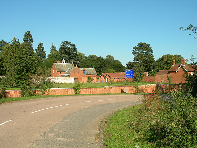
Stansted Hall
Stansted or Steanstead Hall is located in Stansted Mountfitchet, Essex, East of England, United Kingdom. It was the country seat of the Earls of Essex...

Arthur Findlay College
Arthur Findlay College is a college of Spiritualism and psychic sciences at Stansted Hall in Stansted Mountfitchet, Essex, England. Stansted Hall was built...
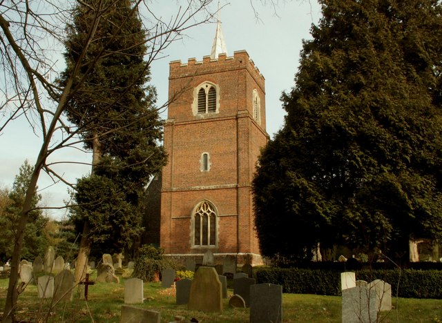
St Mary the Virgin's Church, Stansted Mountfitchet
St Mary the Virgin's Church is a redundant Anglican church near the village of Stansted Mountfitchet, Essex, England. It is recorded in the National Heritage...
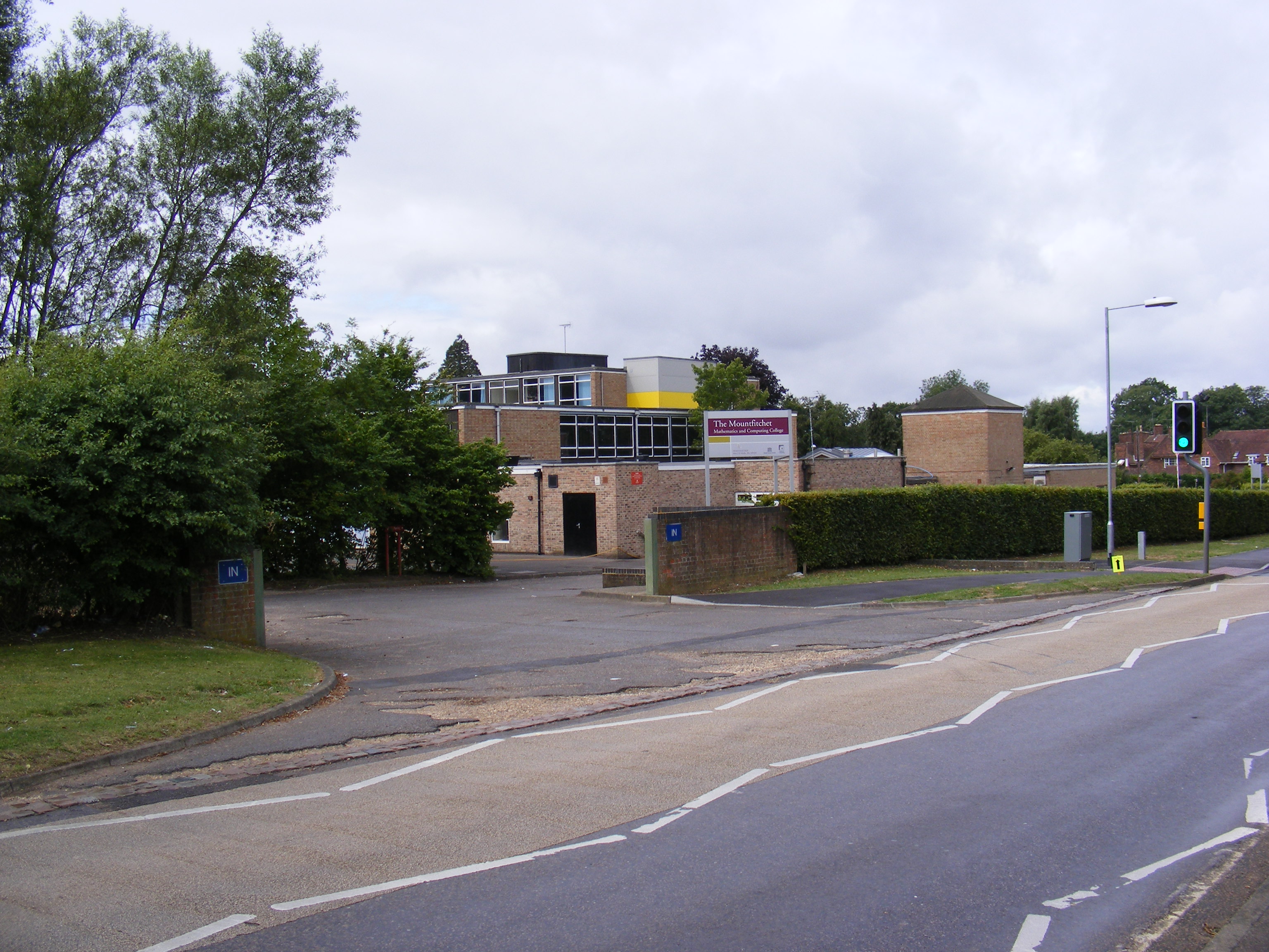
Forest Hall School
Forest Hall School is a coeducational secondary school located in Stansted Mountfitchet, Essex, England. In 2016 64% of students gained at least 5 GCSEs...
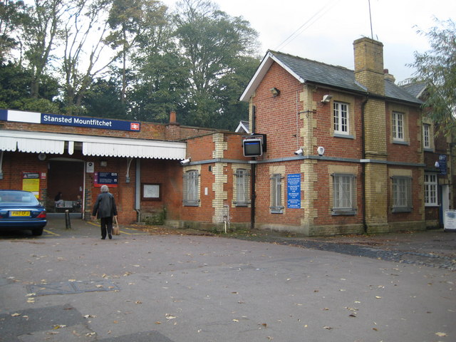
Stansted Mountfitchet railway station
Stansted Mountfitchet railway station is on the West Anglia Main Line serving the village of Stansted Mountfitchet in Essex, England. It is 33 miles 28...

Stansted Mountfitchet Castle
Stansted Mountfitchet Castle, also termed simply Mountfitchet Castle, is a Norman ringwork and bailey fortification in Stansted Mountfitchet, Essex, England...

Stansted Mountfitchet
Stansted Mountfitchet is an English village and civil parish in Uttlesford district, Essex, near the Hertfordshire border, 35 miles (56 km) north of London...
Nearby Amenities
Located within 500m of 51.898765,0.22282056Have you been to Durrel's Wood?
Leave your review of Durrel's Wood below (or comments, questions and feedback).