Emanuel Wood

Wood, Forest in Essex Uttlesford

England

Emanuel Wood

Little Chesterford church
Little Chesterford church Credit: mym

Emanuel Wood, also known as Essex Wood or Forest, is a historical woodland located in the county of Essex, England. Covering an area of approximately 2,500 acres, it is one of the largest surviving ancient woodlands in the region. The wood is situated near the town of Epping, within the Epping Forest District.

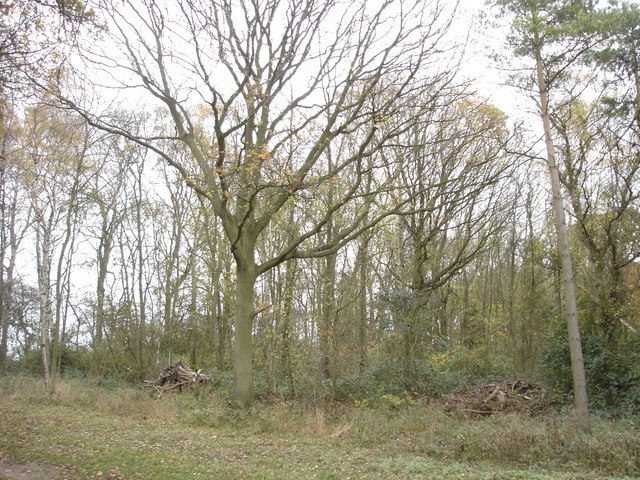
Emanuel Wood has a rich and diverse ecosystem, comprising of a mix of broadleaf trees such as oak, beech, and hornbeam, interspersed with patches of heathland and grassland. The woodland is home to a wide variety of flora and fauna, including several rare and endangered species. It provides important habitat for numerous bird species, mammals, insects, and plants.

The wood has a long history dating back to medieval times when it was used as a hunting ground for the English monarchy. It was later designated as a royal forest and played a crucial role in the timber industry during the Tudor period. Today, Emanuel Wood is managed by the City of London Corporation, which aims to preserve its natural heritage and promote sustainable woodland management practices.

The woodland offers a range of recreational activities for visitors, including walking, cycling, and horse riding. It is crisscrossed by a network of well-maintained trails, providing opportunities for exploration and enjoyment of the natural surroundings. Emanuel Wood is a popular destination for nature enthusiasts, photographers, and families seeking a peaceful retreat in the heart of Essex.

If you have any feedback on the listing, please let us know in the comments section below.
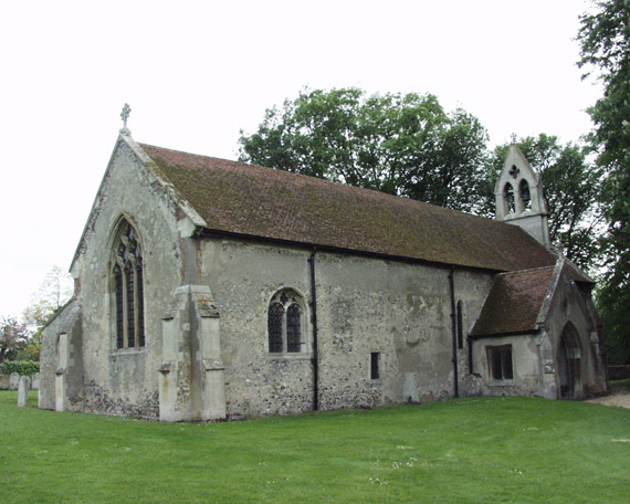
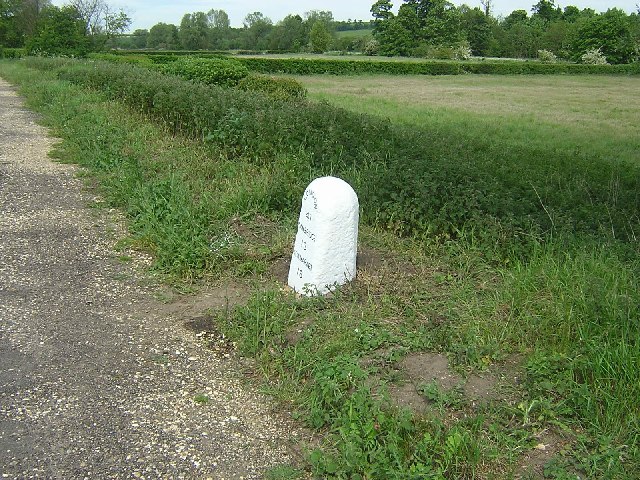
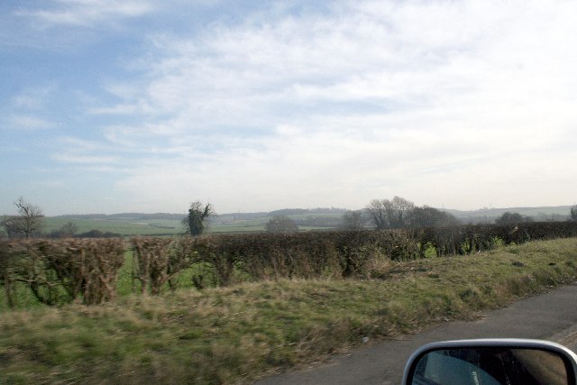
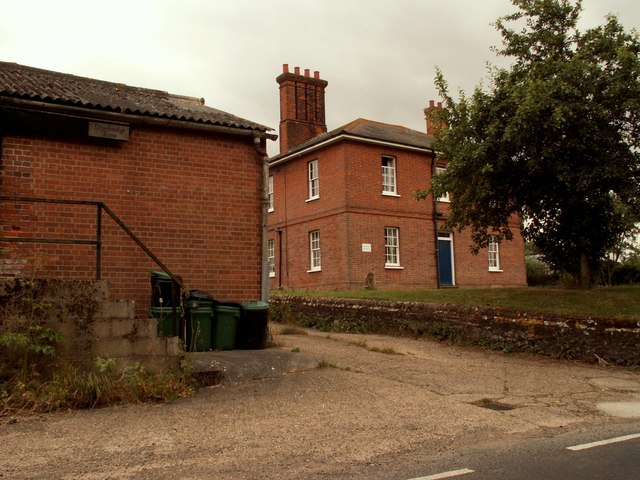
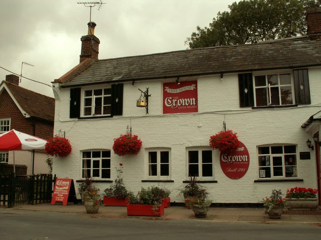
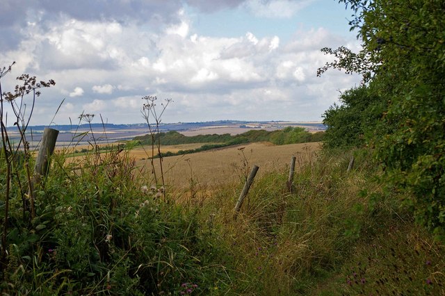
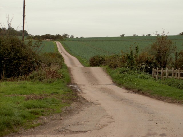
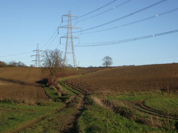
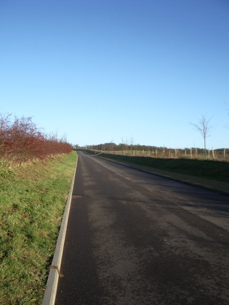
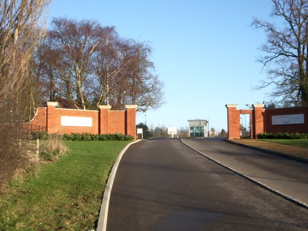
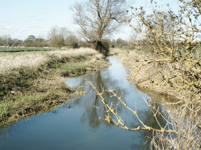
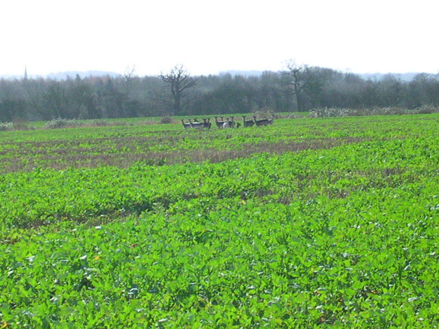
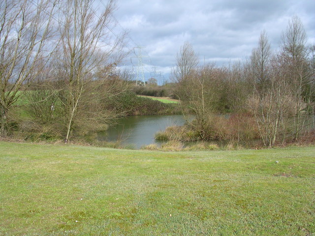
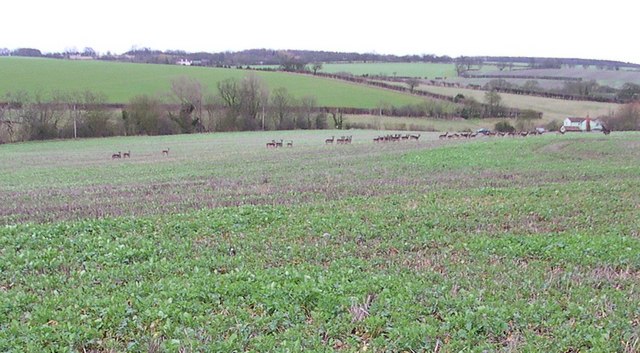
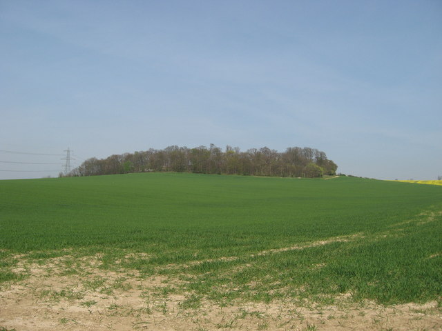
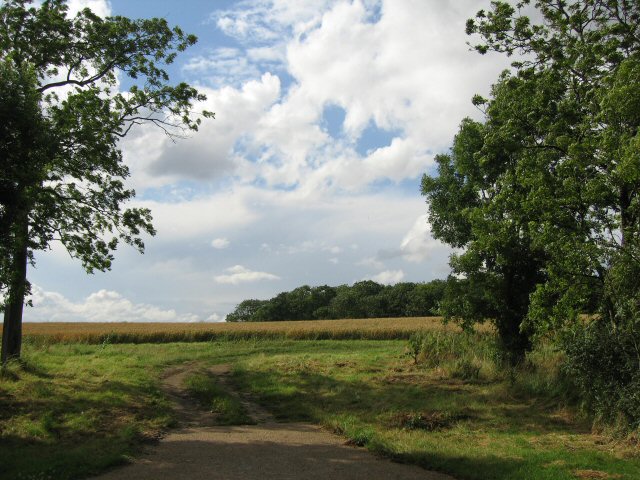
Emanuel Wood Images

Images are sourced within 2km of 52.053055/0.22997598 or Grid Reference TL5341. Thanks to Geograph Open Source API. All images are credited.

Little Chesterford church
Milestone north of Littlebury, Essex. The LONDON 41 miles milestone was restored in 2005. On the east side of the B1383 (former A11). It functioned as a milestone on the Essex & Herts (Hockerill Highway) Turnpike Trust that ran from Harlow to Great Chesterford.
Milestone north of Littlebury, Essex.
The LONDON 41 miles milestone was restored in 2005. On the east side of the B1383 (former A11). It functioned as a milestone on the Essex & Herts (Hockerill Highway) Turnpike Trust that ran from Harlow to Great Chesterford.
Hills near Little Chesterford
Stonebridge Farm, Little Walden, Essex
'The Crown' inn, Little Walden, Essex This inn stands at the bend in the road through the small hamlet of Little Walden.
'The Crown' inn, Little Walden, Essex
This inn stands at the bend in the road through the small hamlet of Little Walden.
Bridle Path Near Burtonwood Farm This vista is further along the <a href="https://www.geograph.org.uk/photo/221860">TL5443 : Little Walden Path</a> to the southeast of Burtonwood Farm. As you can tell from the length of the grass it is not well used by horses!
Bridle Path Near Burtonwood Farm
This vista is further along the TL5443 : Little Walden Path to the southeast of Burtonwood Farm. As you can tell from the length of the grass it is not well used by horses!
Westley Lane leading to Westley Farm
Field track and pylons
New Road to Chesterford Research Park
Gateway to Chesterford Research Park
The River Cam (or Granta) The River Cam (or Granta) near Little Chesterford, Essex
The River Cam (or Granta)
The River Cam (or Granta) near Little Chesterford, Essex
13 deer here This herd is half the size of the one that got away.
13 deer here
This herd is half the size of the one that got away.
Electric pond
Electric pond
31 or so that got away And then we went to that pub.
31 or so that got away
And then we went to that pub.
Farmland on the Audley Estate Farmland on the Audley Estate. High Balks copse at the top of the hill.
Farmland on the Audley Estate
Farmland on the Audley Estate. High Balks copse at the top of the hill.
Back to grass roots? View through a gap in the hedgerow adjacent to the access road to the Chesterford Research Park (private).
Back to grass roots?
View through a gap in the hedgerow adjacent to the access road to the Chesterford Research Park (private).
Paddock Wood This photograph shows the northern edge of Paddock Wood, viewed from the public bridleway.
Paddock Wood
This photograph shows the northern edge of Paddock Wood, viewed from the public bridleway.
Old Milepost Old milepost near to Little Chesterford, Essex on what was the old A.11. For close up view see <a title="https://www.geograph.org.uk/photo/1276325" href="https://www.geograph.org.uk/photo/1276325">Link</a> for info on the post see <span class="nowrap"><a title="http://milestones.megalithia.com/sites/tl513418.htm" rel="nofollow ugc noopener" href="http://milestones.megalithia.com/sites/tl513418.htm">Link</a><img style="margin-left:2px;" alt="External link" title="External link - shift click to open in new window" src="https://s1.geograph.org.uk/img/external.png" width="10" height="10"/></span> do look at their home page.
Old Milepost
Old milepost near to Little Chesterford, Essex on what was the old A.11. For close up view see Link for info on the post see LinkExternal link do look at their home page.
Show me another place!

Emanuel Wood is located at Grid Ref: TL5341 (Lat: 52.053055, Lng: 0.22997598)

Administrative County: Essex

District: Uttlesford

Police Authority: Essex

What 3 Words

///engine.cold.innocence. Near Great Chesterford, Essex

Related Wikis

Little Chesterford

Little Chesterford is a small village and civil parish in Uttlesford, Essex, in the East of England. Close to the Cambridgeshire border, it is built principally...

Little Walden

Little Walden is a small settlement in the Uttlesford district, in the English county of Essex. It lies about 3 miles (5 km) north of the market town of...

Great Chesterford

Great Chesterford is a village and civil parish in the Uttlesford district of Essex, England. The village is 13 miles (20 km) north from Bishop's Stortford...

Littlebury

Littlebury is a village and civil parish in the Uttlesford district, north-west Essex, England. The village is approximately a mile and a half from the...

Great Chesterford railway station

Great Chesterford railway station is on the West Anglia Main Line serving the village of Great Chesterford in Essex, England. It is 45 miles 56 chains...

Bridge End Gardens

Bridge End Gardens is a group of linked ornamental gardens in Saffron Walden, Essex, England. The gardens are listed Grade II* on the Register of Parks...

Saffron Walden Town F.C.

Saffron Walden Town Football Club is a football club based in Saffron Walden, Essex, England. They are currently members of the Essex Senior League and...

RAF Little Walden

Royal Air Force Little Walden or more simply RAF Little Walden is a former Royal Air Force station primarily used by the United States Army Air Forces...

Nearby Amenities

Located within 500m of 52.053055,0.22997598
Chester ford Research Park Entrance
Barrier: lift_gate
Lat/Long: 52.0568358/0.2274301
Barrier: lift_gate
Lat/Long: 52.0567248/0.2271605
Power: pole
Lat/Long: 52.0557742/0.2250782
Power: pole
Lat/Long: 52.0549726/0.2255677
Power: pole
Lat/Long: 52.0541644/0.2260639
Power: pole
Lat/Long: 52.0533397/0.2265145
Power: pole
Lat/Long: 52.0525744/0.227008
Power: pole
Lat/Long: 52.0518412/0.2274194
Power: pole
Lat/Long: 52.0509481/0.2279656
Power: pole
Lat/Long: 52.0501266/0.2283921
Power: pole
Lat/Long: 52.0491518/0.2284564
The data included in this document is from www.openstreetmap.org. The data is made available under ODbL.

Have you been to Emanuel Wood?

Leave your review of Emanuel Wood below (or comments, questions and feedback).