Browning's Wood
Wood, Forest in Sussex Wealden
England
Browning's Wood

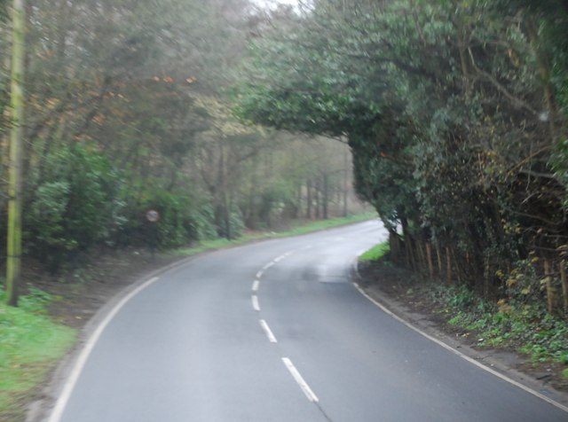
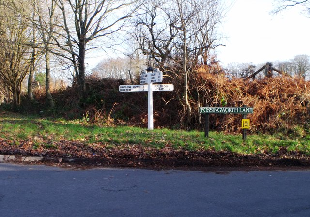
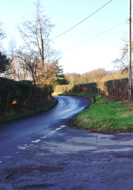
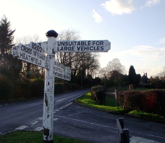
Browning's Wood, located in the county of Sussex, England, is a picturesque forest renowned for its natural beauty and rich history. Covering an area of approximately 500 acres, the wood is nestled within the South Downs National Park, offering visitors a serene and tranquil escape from the bustling city life.
The wood is primarily composed of a diverse range of tree species, including oak, beech, and ash, creating a dense canopy that provides shade and shelter to the abundant wildlife that calls this forest home. The forest floor is adorned with a vibrant carpet of bluebells in the spring, adding a burst of color to the enchanting landscape.
Browning's Wood has a long and fascinating history, dating back several centuries. It was once part of a larger medieval hunting forest, where kings and nobles would come to pursue deer and wild boar. Today, remnants of this history can still be seen in the form of ancient boundary banks and ditches that crisscross the wood.
Visitors to Browning's Wood can explore its numerous walking trails, which wind their way through the forest, offering glimpses of its diverse flora and fauna. Birdwatchers will be delighted by the variety of avian species that inhabit the wood, including woodpeckers, nightingales, and tawny owls.
The wood is managed by a dedicated team of conservationists who strive to preserve its natural beauty and protect the delicate ecosystem within. Their efforts have resulted in Browning's Wood being designated as a Site of Special Scientific Interest, recognizing its importance for biodiversity and ecological value.
Overall, Browning's Wood is a magical destination that offers visitors a chance to immerse themselves in nature, explore its rich history, and experience the tranquility of the Sussex countryside.
If you have any feedback on the listing, please let us know in the comments section below.
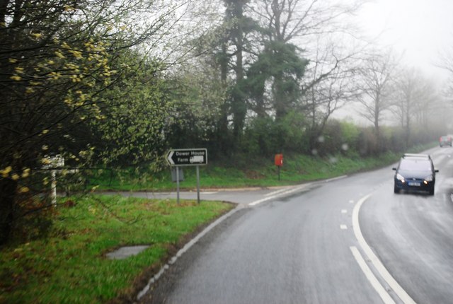
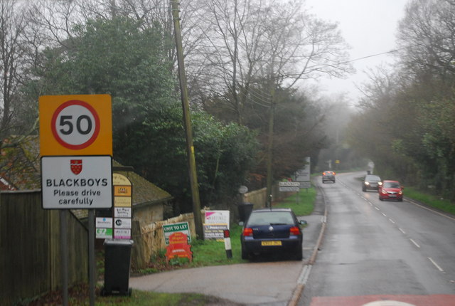
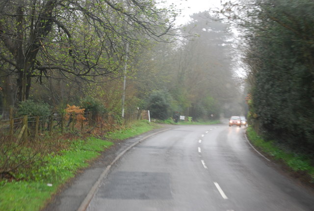
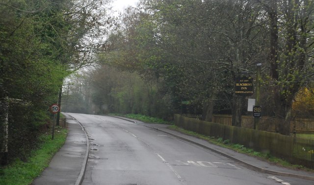
Browning's Wood Images
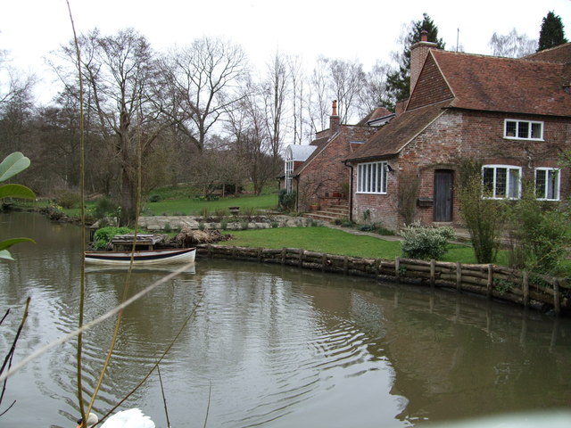
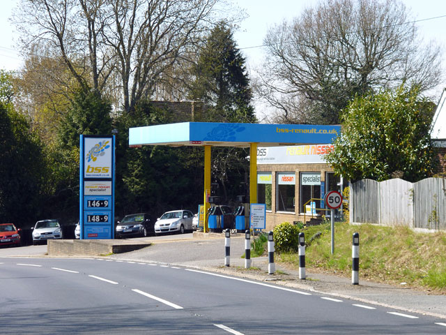
Images are sourced within 2km of 50.95983/0.1772078 or Grid Reference TQ5220. Thanks to Geograph Open Source API. All images are credited.


Browning's Wood is located at Grid Ref: TQ5220 (Lat: 50.95983, Lng: 0.1772078)
Administrative County: East Sussex
District: Wealden
Police Authority: Sussex
What 3 Words
///decoded.tweed.promotion. Near Buxted, East Sussex
Nearby Locations
Related Wikis

Holy Cross Priory, Cross-in-Hand
Holy Cross Priory, Cross-in-Hand, is a priory of the Benedictine Sisters of Grace and Compassion which provides homes for the elderly. It was established...

Roser's Cross
Roser's Cross is a village in the Wealden district of East Sussex.

Selwyns Wood
Selwyns Wood is a 11-hectare (27-acre) nature reserve west of Heathfield in Sussex. It is managed by the Sussex Wildlife Trust.This reserve has woodland...

Waldron Cutting
Waldron Cutting is a 0.2-hectare (0.49-acre) geological Site of Special Scientific Interest in East Sussex. It is a Geological Conservation Review site...
Vanguard Way
The Vanguard Way is a long-distance walk of 66.2 mi (106.5 km) from East Croydon station in outer London (OS grid reference TQ328658), travelling from...
Etchingwood
Etchingwood is a small cluster of mostly detached properties and farms within the civil parish of Buxted in the Wealden district of East Sussex, England...

Framfield
Framfield is a village and civil parish in the Wealden District of East Sussex, England. The village is located two miles (3 km) east of Uckfield; the...

New Mill, Cross-in-Hand
New Mill is a Grade II* listed post mill at Cross in Hand near Heathfield, East Sussex, England. It was the last windmill working commercially by wind...
Nearby Amenities
Located within 500m of 50.95983,0.1772078Have you been to Browning's Wood?
Leave your review of Browning's Wood below (or comments, questions and feedback).