Child's Common

Downs, Moorland in Essex Uttlesford

England

Child's Common

Junction and Sign The meeting of Hatfield Forest Road/ Wood Row/ Greenhill.
Junction and Sign Credit: David Bremner

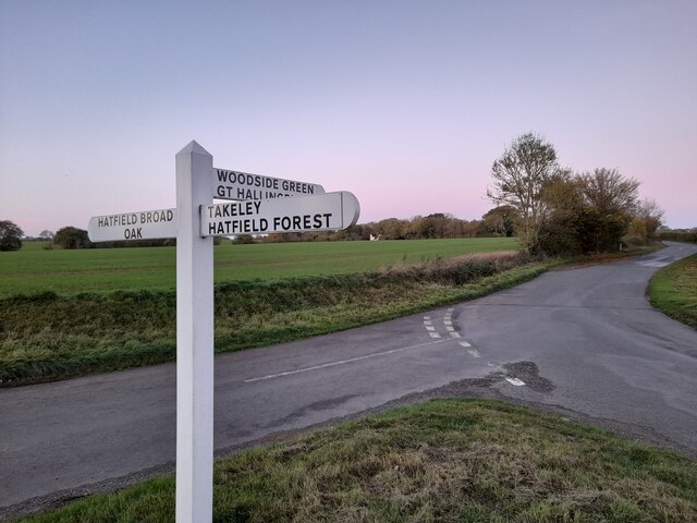
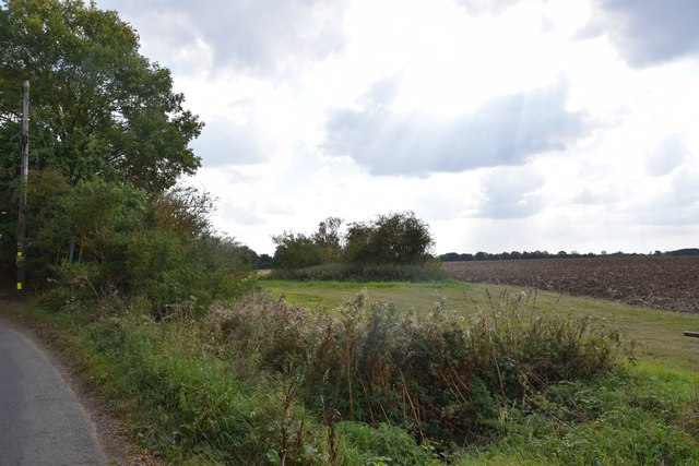
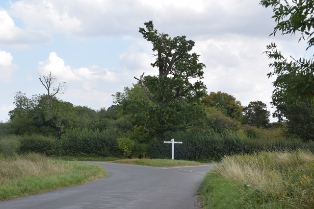
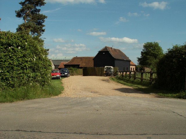
Child's Common is a picturesque area located in the county of Essex, England. It is situated within the district of Uttlesford, and is known for its beautiful countryside and diverse natural landscapes. The common, which covers an approximate area of 320 acres, consists of both downs and moorland.

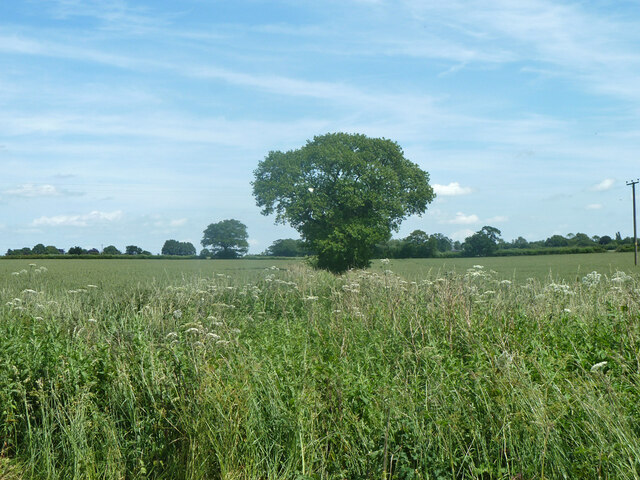
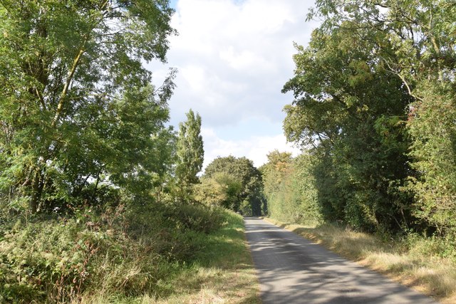
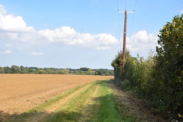
The downs of Child's Common are characterized by their gently rolling hills and open grasslands. These areas provide ample space for recreational activities such as walking, picnicking, and birdwatching. The downs are also home to a wide variety of plant and animal species, making it a popular spot for nature enthusiasts.

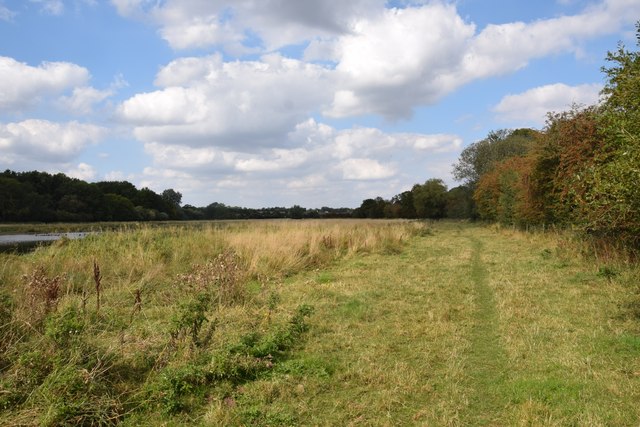
In contrast, the moorland of Child's Common offers a distinct landscape with its heather-covered hills and peat bogs. This unique habitat supports a range of wildlife, including birds like the Eurasian curlew and the common snipe. The moorland is also dotted with small ponds and streams, adding to its natural beauty.

Child's Common is managed by the Essex Wildlife Trust, which works to preserve and protect the area's natural heritage. The trust has implemented various conservation measures to ensure the long-term sustainability of the common, including habitat restoration and the control of invasive species.

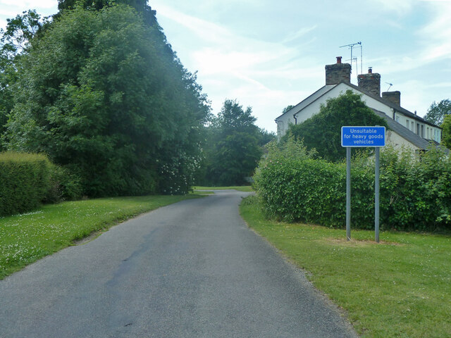
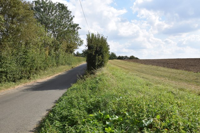
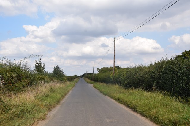
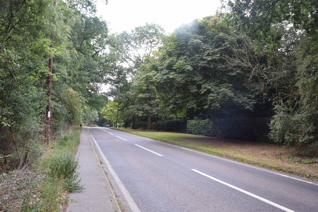
Visitors to Child's Common can enjoy the tranquility of nature, as well as the opportunity to explore the surrounding trails and footpaths. The area is easily accessible by car, with parking facilities available nearby. Overall, Child's Common offers a peaceful and idyllic escape for those seeking to immerse themselves in the beauty of the Essex countryside.

If you have any feedback on the listing, please let us know in the comments section below.

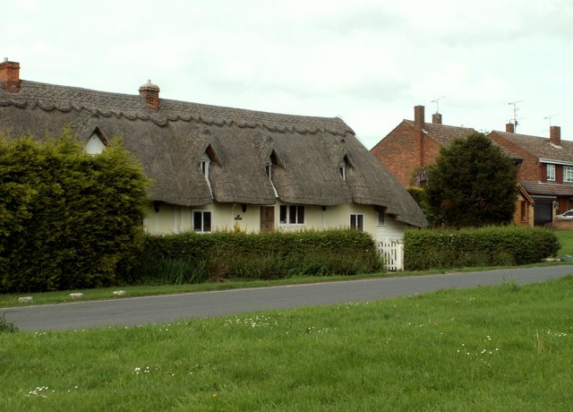
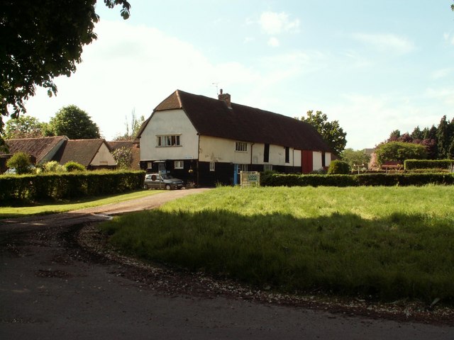
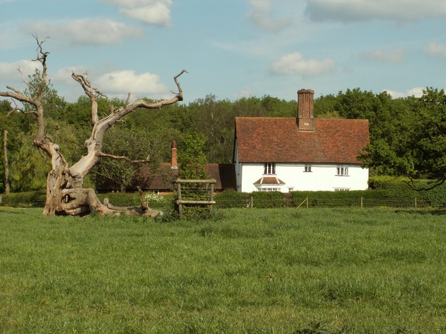
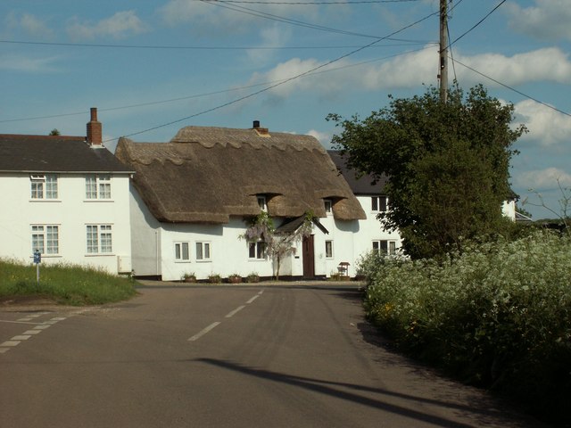
Child's Common Images

Images are sourced within 2km of 51.833232/0.22967935 or Grid Reference TL5317. Thanks to Geograph Open Source API. All images are credited.

Junction and Sign The meeting of Hatfield Forest Road/ Wood Row/ Greenhill.
Junction and Sign
The meeting of Hatfield Forest Road/ Wood Row/ Greenhill.
Tree on field boundary The boundary is actually a ditch, but rather swamped with vegetation at the end of June.
Tree on field boundary
The boundary is actually a ditch, but rather swamped with vegetation at the end of June.
Cannons Lane, Hatfield Broad Oak The Broad Street Green part of the village.
Cannons Lane, Hatfield Broad Oak
The Broad Street Green part of the village.
Footpath through The Marsh This area north of Hatfield Broad Oak, formerly apparently common grazing, is a good wildlife habitat. Though there are some areas of standing water (one can be seen to the right here), most of the marshy area was dry today - as was Pincey Brook, whose course the path runs beside.
Footpath through The Marsh
This area north of Hatfield Broad Oak, formerly apparently common grazing, is a good wildlife habitat. Though there are some areas of standing water (one can be seen to the right here), most of the marshy area was dry today - as was Pincey Brook, whose course the path runs beside.
View from the lane north of Copperfields
Field, lane and a bit of hedgerow Taken on the lane between Copperfields and Forest Hall.
Field, lane and a bit of hedgerow
Taken on the lane between Copperfields and Forest Hall.
Pillars of an ecclesiastical dispute Or maybe not. This is the east end of St Mary the Virgin. The pillars here are the remaining two of four pillars which supported the central tower of the Benedictine Priory church - which until the Dissolution was twice as long as the present church. So much is not in dispute; however notes in the church say the church was divided by this east wall following violent disputes between the parish and its priest, and the monks - who the parishioners accused of not maintaining the then-shared. This was supposedly carried out on the orders of the king as a solution to the dispute. I can't find any reference to these events on-line, in Victoria County History etc although other disputes are recorded concerning the priory. I suspect that maybe the east wall was constructed in 1536 when the priory was dissolved in order to reduce the church to more manageable proportions - though I stand to be corrected.
Pillars of an ecclesiastical dispute
Or maybe not. This is the east end of St Mary the Virgin. The pillars here are the remaining two of four pillars which supported the central tower of the Benedictine Priory church - which until the Dissolution was twice as long as the present church. So much is not in dispute; however notes in the church say the church was divided by this east wall following violent disputes between the parish and its priest, and the monks - who the parishioners accused of not maintaining the then-shared. This was supposedly carried out on the orders of the king as a solution to the dispute. I can't find any reference to these events on-line, in Victoria County History etc although other disputes are recorded concerning the priory. I suspect that maybe the east wall was constructed in 1536 when the priory was dissolved in order to reduce the church to more manageable proportions - though I stand to be corrected.
Straight road near Forest Farm This very straight section is about a kilometre in length and may mark the route of a Roman road heading for Takeley Street (several other straight sections occur between here and Takeley Street). "Street" in a place name often denotes a settlement on a Roman road and indeed Takeley Street is on Stane Street running east to west. I think it's not too fanciful to see this as a Roman route to Stane Street.
Straight road near Forest Farm
This very straight section is about a kilometre in length and may mark the route of a Roman road heading for Takeley Street (several other straight sections occur between here and Takeley Street). "Street" in a place name often denotes a settlement on a Roman road and indeed Takeley Street is on Stane Street running east to west. I think it's not too fanciful to see this as a Roman route to Stane Street.
Finger post at junction near Bridgefoot Farm Directions shown are left to Takeley and Hatfield Forest, right to Hatfield Broad Oak, and towards the photographer, to Woodside Green and Hallingbury. For a close-up see photo from contributor David Bremner <a href="https://www.geograph.org.uk/photo/7329457">TL5418 : Junction and Sign</a>
Finger post at junction near Bridgefoot Farm
Directions shown are left to Takeley and Hatfield Forest, right to Hatfield Broad Oak, and towards the photographer, to Woodside Green and Hallingbury. For a close-up see photo from contributor David Bremner TL5418 : Junction and Sign
Ryes Lane Looking north from near Corringales.
Ryes Lane
Looking north from near Corringales.
On the road to Hatfield Heath Near Town Grove.
On the road to Hatfield Heath
Near Town Grove.
Field and footpath  North of Hatfield Heath. If you are sharp-eyed you may be able to spot the tower of St Mary the Virgin at Hatfield Broad Oak - on the skyline towards the left.
Field and footpath
North of Hatfield Heath. If you are sharp-eyed you may be able to spot the tower of St Mary the Virgin at Hatfield Broad Oak - on the skyline towards the left.
Village pump and main street, Hatfield Broad Oak. The village pump is a feature of many rural villages in Essex.  The signpost is a fairly new one made in a traditional style.
Village pump and main street, Hatfield Broad Oak.
The village pump is a feature of many rural villages in Essex. The signpost is a fairly new one made in a traditional style.
Thatched cottages, Hatfield Broad Oak, Essex
Lodge Farm, Essex This farm is situated at the southern end of Hatfield Forest, near to Little Hallingbury.
Lodge Farm, Essex
This farm is situated at the southern end of Hatfield Forest, near to Little Hallingbury.
Woodfold cottage at Woodside Green, Essex Woodside Green is near Little Hallingbury.  This cottage is just one of the many pretty buildings dotted around Woodside Green.
Woodfold cottage at Woodside Green, Essex
Woodside Green is near Little Hallingbury. This cottage is just one of the many pretty buildings dotted around Woodside Green.
Cottages at Greenhill, near Hatfield Broad Oak, Essex
Forest Farm, near Hatfield Broad Oak, Essex
Show me another place!

Child's Common is located at Grid Ref: TL5317 (Lat: 51.833232, Lng: 0.22967935)

Administrative County: Essex

District: Uttlesford

Police Authority: Essex

What 3 Words

///fried.friday.pinch. Near Hatfield Heath, Essex

Nearby Locations

Child's Common

Related Wikis

Hatfield Regis Priory

Hatfield Broad Oak Priory, or Hatfield Regis Priory, is a former Benedictine priory in Hatfield Broad Oak, Essex, England. Founded by 1139, it was dissolved...

Hatfield Broad Oak

Hatfield Broad Oak (also known as Hatfield Regis) is a village and civil parish in the Uttlesford district of Essex, England. The village is approximately...

Barrington Hall, Essex

Barrington Hall is a Grade II* listed 18th-century English country house in Hatfield Broad Oak, Essex, England. Barrington Hall is built in red brick...

Hatfield Heath

Hatfield Heath is a village, civil parish, and an electoral ward in the Uttlesford district of Essex, England, and at its west is close to the border with...

Hatfield Forest

Hatfield Forest is a 403.2-hectare (996-acre) biological Site of Special Scientific Interest in Essex, three miles east of Bishop's Stortford. It is also...

Korean Air Cargo Flight 8509

Korean Air Cargo Flight 8509 was a Boeing 747-2B5F, registered HL7451 bound for Milan Malpensa Airport, that crashed due to instrument malfunction and...

Taverners Green

Taverners Green is a hamlet in the Hatfield Broad Oak civil parish of the Uttlesford district, in the county of Essex, England. Nearby settlements include...

Bedlar's Green

Bedlar's Green is a hamlet in the Uttlesford district of Essex, England adjacent to the village of Great Hallingbury.

Nearby Amenities

Located within 500m of 51.833232,0.22967935
Child's Common
Place: locality
Lat/Long: 51.8351795/0.231176
Colour: yellow
Marker: post
Utility: yes
Lat/Long: 51.8301383/0.2294339
Colour: yellow
Marker: pipeline
Note: This is a white pipe sticking out of the ground.
Utility: yes
Lat/Long: 51.830137/0.2294278
The data included in this document is from www.openstreetmap.org. The data is made available under ODbL.

Have you been to Child's Common?

Leave your review of Child's Common below (or comments, questions and feedback).