Hele

Settlement in Devon Teignbridge

England

Hele

Ashburton - West Street Ashburton is a small market town and also was a stannary town (a centre for administration of tin mining).
Note the celebrated Old Exeter Inn where Sir Walter Raleigh was arrested in 1603.
<span class="nowrap"><a title="www.discoverashburton.info" rel="nofollow ugc noopener" href="http://www.discoverashburton.info">Link</a><img style="margin-left:2px;" alt="External link" title="External link - shift click to open in new window" src="https://s1.geograph.org.uk/img/external.png" width="10" height="10"/></span>
Ashburton - West Street Credit: Colin Smith

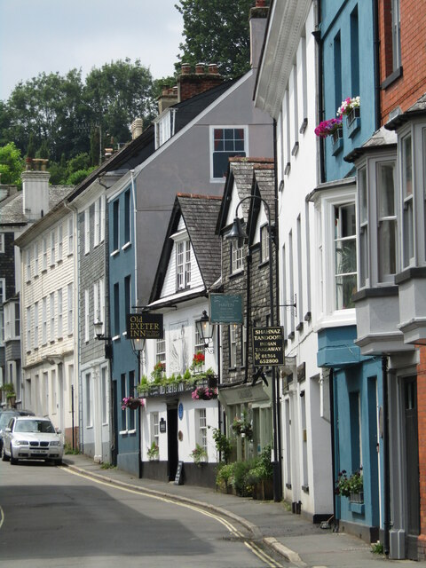
Hele is a small village located in the county of Devon, in southwestern England. Situated on the outskirts of Ilfracombe, Hele is nestled in a picturesque valley, offering stunning views of the surrounding countryside and the nearby coast. The village is surrounded by lush green fields, rolling hills, and dense woodlands, making it an idyllic location for nature lovers and outdoor enthusiasts.

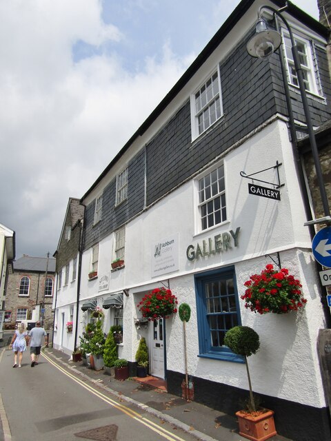
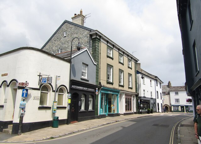
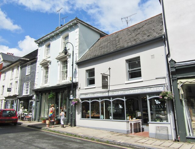
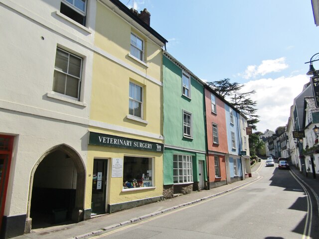
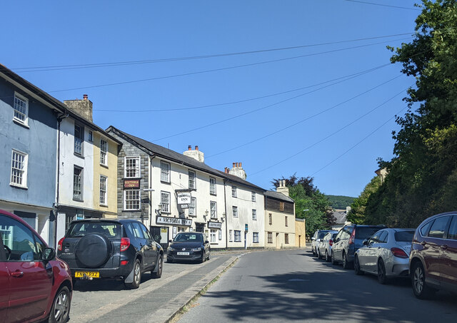
Hele is known for its quaint, traditional charm, with many of its buildings dating back to the 18th and 19th centuries. The village features a mix of architectural styles, including charming thatched cottages and elegant Georgian houses. The narrow, winding streets add to the village's character, creating a sense of history and heritage.

The village is home to a small, close-knit community, with a population of around 800 residents. Despite its size, Hele offers a range of amenities, including a local pub, a convenience store, and a post office. The village also has a primary school, which caters to the educational needs of the local children.

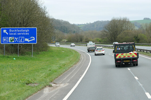
Hele's proximity to the coast makes it an excellent destination for beachgoers and watersports enthusiasts. The village is just a short distance away from several beautiful sandy beaches, such as Hele Bay, which is known for its crystal-clear waters and rock pools teeming with marine life.

Overall, Hele is a charming and tranquil village, offering a peaceful retreat for those seeking a slower pace of life and a connection with nature.

If you have any feedback on the listing, please let us know in the comments section below.
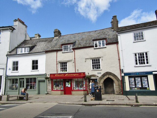
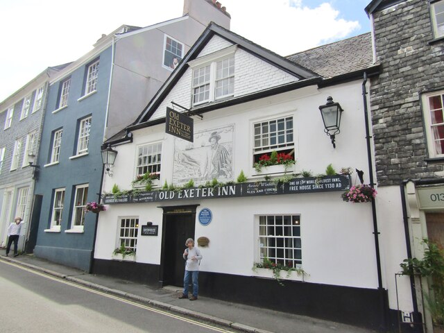
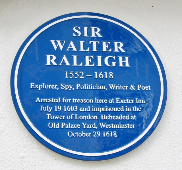
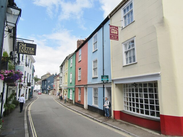
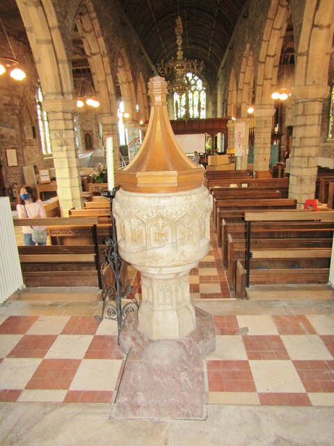
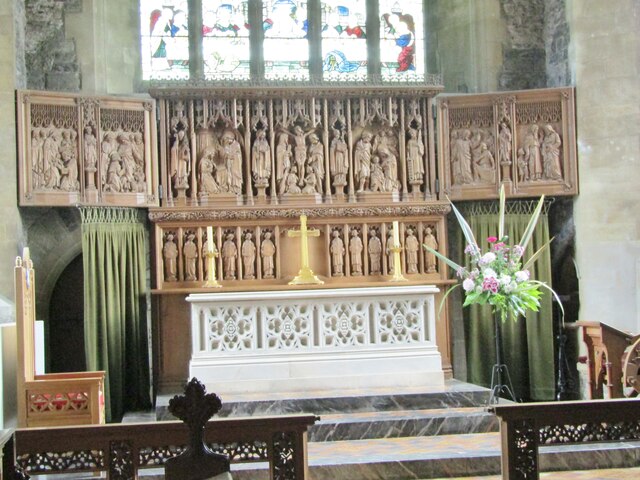
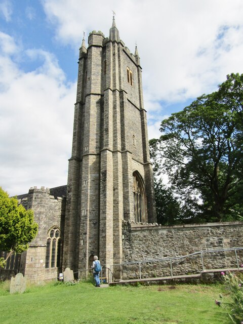
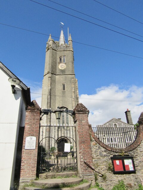
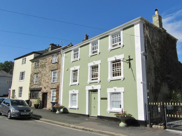
Hele Images

Images are sourced within 2km of 50.518422/-3.775207 or Grid Reference SX7470. Thanks to Geograph Open Source API. All images are credited.

Ashburton - West Street Ashburton is a small market town and also was a stannary town (a centre for administration of tin mining).
Note the celebrated Old Exeter Inn where Sir Walter Raleigh was arrested in 1603.
<span class="nowrap"><a title="www.discoverashburton.info" rel="nofollow ugc noopener" href="http://www.discoverashburton.info">Link</a><img style="margin-left:2px;" alt="External link" title="External link - shift click to open in new window" src="https://s1.geograph.org.uk/img/external.png" width="10" height="10"/></span>
Ashburton - West Street
Ashburton is a small market town and also was a stannary town (a centre for administration of tin mining). Note the celebrated Old Exeter Inn where Sir Walter Raleigh was arrested in 1603. LinkExternal link
Ashburton - Kingsbridge Lane Ashburn Gallery in the town centre.
<span class="nowrap"><a title="www.ashburngallery.co.uk" rel="nofollow ugc noopener" href="http://www.ashburngallery.co.uk">Link</a><img style="margin-left:2px;" alt="External link" title="External link - shift click to open in new window" src="https://s1.geograph.org.uk/img/external.png" width="10" height="10"/></span>
Ashburton - Kingsbridge Lane
Ashburn Gallery in the town centre. LinkExternal link
Ashburton - West Street Ashburton is a small market town and also was a stannary town (a centre for administration of tin mining).
<span class="nowrap"><a title="www.discoverashburton.info" rel="nofollow ugc noopener" href="http://www.discoverashburton.info">Link</a><img style="margin-left:2px;" alt="External link" title="External link - shift click to open in new window" src="https://s1.geograph.org.uk/img/external.png" width="10" height="10"/></span>
Ashburton - West Street
Ashburton is a small market town and also was a stannary town (a centre for administration of tin mining). LinkExternal link
Ashburton - North Street Shopping street in downtown Ashburton containing a variety of independent traders e.g. Odds & Suds (interiors, furniture and soaps).
<span class="nowrap"><a title="www.discoverashburton.info" rel="nofollow ugc noopener" href="http://www.discoverashburton.info">Link</a><img style="margin-left:2px;" alt="External link" title="External link - shift click to open in new window" src="https://s1.geograph.org.uk/img/external.png" width="10" height="10"/></span>
Ashburton - North Street
Shopping street in downtown Ashburton containing a variety of independent traders e.g. Odds & Suds (interiors, furniture and soaps). LinkExternal link
Ashburton - North Street Historic shopping street in downtown Ashburton containing a variety of independent traders e.g. Church's Ironmongers in a building where Fairfax was quartered during the English Civil War.
<span class="nowrap"><a title="www.discoverashburton.info" rel="nofollow ugc noopener" href="http://www.discoverashburton.info">Link</a><img style="margin-left:2px;" alt="External link" title="External link - shift click to open in new window" src="https://s1.geograph.org.uk/img/external.png" width="10" height="10"/></span>
Ashburton - North Street
Historic shopping street in downtown Ashburton containing a variety of independent traders e.g. Church's Ironmongers in a building where Fairfax was quartered during the English Civil War. LinkExternal link
Ashburton - Old Exeter Inn The oldest pub in Ashburton, first built 1130, but originally named the Church House Inn. The blue plaque remembers the arrest of Sir Walter Raleigh here in 1603 (see mural and gable).
<span class="nowrap"><a title="www.discoverashburton.info" rel="nofollow ugc noopener" href="http://www.discoverashburton.info">Link</a><img style="margin-left:2px;" alt="External link" title="External link - shift click to open in new window" src="https://s1.geograph.org.uk/img/external.png" width="10" height="10"/></span>
Ashburton - Old Exeter Inn
The oldest pub in Ashburton, first built 1130, but originally named the Church House Inn. The blue plaque remembers the arrest of Sir Walter Raleigh here in 1603 (see mural and gable). LinkExternal link
Ashburton - Sir Walter Raleigh Blue plaque at the Old Exeter Inn where he was arrested in 1603.
<span class="nowrap"><a title="www.discoverashburton.info" rel="nofollow ugc noopener" href="http://www.discoverashburton.info">Link</a><img style="margin-left:2px;" alt="External link" title="External link - shift click to open in new window" src="https://s1.geograph.org.uk/img/external.png" width="10" height="10"/></span>
Ashburton - Sir Walter Raleigh
Blue plaque at the Old Exeter Inn where he was arrested in 1603. LinkExternal link
Ashburton - West Street Colourfully painted buildings in the centre of this old Devon market town.
Ashburton - West Street
Colourfully painted buildings in the centre of this old Devon market town.
Ashburton - St Andrew's Church Font inside the parish church.
<span class="nowrap"><a title="www.discoverashburton.info" rel="nofollow ugc noopener" href="http://www.discoverashburton.info">Link</a><img style="margin-left:2px;" alt="External link" title="External link - shift click to open in new window" src="https://s1.geograph.org.uk/img/external.png" width="10" height="10"/></span>
Ashburton - St Andrew's Church
Font inside the parish church. LinkExternal link
Ashburton - Triptych Artpiece and altar inside Ashburton's parish church, St Andrew's.
<span class="nowrap"><a title="www.discoverashburton.info" rel="nofollow ugc noopener" href="http://www.discoverashburton.info">Link</a><img style="margin-left:2px;" alt="External link" title="External link - shift click to open in new window" src="https://s1.geograph.org.uk/img/external.png" width="10" height="10"/></span>
Ashburton - Triptych
Artpiece and altar inside Ashburton's parish church, St Andrew's. LinkExternal link
Ashburton - St Andrew's Church Imposing parish church tower on West Street.
<span class="nowrap"><a title="www.discoverashburton.info" rel="nofollow ugc noopener" href="http://www.discoverashburton.info">Link</a><img style="margin-left:2px;" alt="External link" title="External link - shift click to open in new window" src="https://s1.geograph.org.uk/img/external.png" width="10" height="10"/></span>
Ashburton - St Andrew's Church
Imposing parish church tower on West Street. LinkExternal link
Ashburton - West Street Colourfully painted buildings in the centre of this old Devon market town.
<span class="nowrap"><a title="www.discoverashburton.info" rel="nofollow ugc noopener" href="http://www.discoverashburton.info">Link</a><img style="margin-left:2px;" alt="External link" title="External link - shift click to open in new window" src="https://s1.geograph.org.uk/img/external.png" width="10" height="10"/></span>
Ashburton - West Street
Colourfully painted buildings in the centre of this old Devon market town. LinkExternal link
Ashburton - Chapel of St Lawrence Historic chantry, grammar school and courthouse on St Lawrence Lane.
<span class="nowrap"><a title="www.discoverashburton.info" rel="nofollow ugc noopener" href="http://www.discoverashburton.info">Link</a><img style="margin-left:2px;" alt="External link" title="External link - shift click to open in new window" src="https://s1.geograph.org.uk/img/external.png" width="10" height="10"/></span>
Ashburton - Chapel of St Lawrence
Historic chantry, grammar school and courthouse on St Lawrence Lane. LinkExternal link
Ashburton - North Street Striking historic building, The Meeting House, in the market town of Ashburton.
<span class="nowrap"><a title="www.discoverashburton.info" rel="nofollow ugc noopener" href="http://www.discoverashburton.info">Link</a><img style="margin-left:2px;" alt="External link" title="External link - shift click to open in new window" src="https://s1.geograph.org.uk/img/external.png" width="10" height="10"/></span>
Ashburton - North Street
Striking historic building, The Meeting House, in the market town of Ashburton. LinkExternal link
Old Milestone (Parole stone), West of Hele Cross The milestone is now located in front of the main post of the side gate to the west of the main entrance to Dart Vale, on the north side of the road. Originally the milestone was located opposite the entrance to Dart Vale, on the south side of the road.  Parish of Ashburton (Teignbridge District). Carved stone post, Ashburton Parole stone design, erected by the Government in the 18th century. (French prisoners of war on parole were stationed in Ashburton 1794-98 and were allowed to walk up to one mile from the town)

Inscription reads:-
1 / Mile

Milestone Society National ID: DV_ASPS01B
Old Milestone (Parole stone), West of Hele Cross
The milestone is now located in front of the main post of the side gate to the west of the main entrance to Dart Vale, on the north side of the road. Originally the milestone was located opposite the entrance to Dart Vale, on the south side of the road. Parish of Ashburton (Teignbridge District). Carved stone post, Ashburton Parole stone design, erected by the Government in the 18th century. (French prisoners of war on parole were stationed in Ashburton 1794-98 and were allowed to walk up to one mile from the town) Inscription reads:- 1 / Mile Milestone Society National ID: DV_ASPS01B
Devon Expressway (A38), Exit Sliproad at Peartree Junction The A38 is a major A-class trunk route. When first designated in 1922, it ran from Derby to Plymouth but it was later extended at both ends so that it now runs for 292 miles from Mansfield in Nottinghamshire to Bodmin in Cornwall.

Prior to the opening of the M5 motorway in the 1960s and 1970s, the A38 formed the main "holiday route" from the Midlands to Somerset, Devon and Cornwall and the south-western section was notorious at holiday times for the congestion. Nowadays, for most of the southern section, the A38 is a fairly quiet road shadowing the M5 extremely closely; often running alongside the motorway as a single carriageway road. The section between Exeter and Plymouth is, however, a busy dual carriageway which serves as the southern extension of the M5 and is known as “the Devon Expressway”.

More information at <span class="nowrap"><a title="http://en.wikipedia.org/wiki/A38_road" rel="nofollow ugc noopener" href="http://en.wikipedia.org/wiki/A38_road">Link</a><img style="margin-left:2px;" alt="External link" title="External link - shift click to open in new window" src="https://s1.geograph.org.uk/img/external.png" width="10" height="10"/></span>  (Wikipedia) and <span class="nowrap"><a title="http://www.sabre-roads.org.uk/wiki/index.php?title=A38" rel="nofollow ugc noopener" href="http://www.sabre-roads.org.uk/wiki/index.php?title=A38">Link</a><img style="margin-left:2px;" alt="External link" title="External link - shift click to open in new window" src="https://s1.geograph.org.uk/img/external.png" width="10" height="10"/></span>  (SABRE).
Devon Expressway (A38), Exit Sliproad at Peartree Junction
The A38 is a major A-class trunk route. When first designated in 1922, it ran from Derby to Plymouth but it was later extended at both ends so that it now runs for 292 miles from Mansfield in Nottinghamshire to Bodmin in Cornwall. Prior to the opening of the M5 motorway in the 1960s and 1970s, the A38 formed the main "holiday route" from the Midlands to Somerset, Devon and Cornwall and the south-western section was notorious at holiday times for the congestion. Nowadays, for most of the southern section, the A38 is a fairly quiet road shadowing the M5 extremely closely; often running alongside the motorway as a single carriageway road. The section between Exeter and Plymouth is, however, a busy dual carriageway which serves as the southern extension of the M5 and is known as “the Devon Expressway”. More information at LinkExternal link (Wikipedia) and LinkExternal link (SABRE).
A38 near Buckfast The A38 is a major A-class trunk route. When first designated in 1922, it ran from Derby to Plymouth but it was later extended at both ends so that it now runs for 292 miles from Mansfield in Nottinghamshire to Bodmin in Cornwall.

Prior to the opening of the M5 motorway in the 1960s and 1970s, the A38 formed the main "holiday route" from the Midlands to Somerset, Devon and Cornwall and the south-western section was notorious at holiday times for the congestion. Nowadays, for most of the southern section, the A38 is a fairly quiet road shadowing the M5 extremely closely; often running alongside the motorway as a single carriageway road. The section between Exeter and Plymouth is, however, a busy dual carriageway which serves as the southern extension of the M5 and is known as “the Devon Expressway”.

More information at <span class="nowrap"><a title="http://en.wikipedia.org/wiki/A38_road" rel="nofollow ugc noopener" href="http://en.wikipedia.org/wiki/A38_road">Link</a><img style="margin-left:2px;" alt="External link" title="External link - shift click to open in new window" src="https://s1.geograph.org.uk/img/external.png" width="10" height="10"/></span>  (Wikipedia) and <span class="nowrap"><a title="http://www.sabre-roads.org.uk/wiki/index.php?title=A38" rel="nofollow ugc noopener" href="http://www.sabre-roads.org.uk/wiki/index.php?title=A38">Link</a><img style="margin-left:2px;" alt="External link" title="External link - shift click to open in new window" src="https://s1.geograph.org.uk/img/external.png" width="10" height="10"/></span>  (SABRE).
A38 near Buckfast
The A38 is a major A-class trunk route. When first designated in 1922, it ran from Derby to Plymouth but it was later extended at both ends so that it now runs for 292 miles from Mansfield in Nottinghamshire to Bodmin in Cornwall. Prior to the opening of the M5 motorway in the 1960s and 1970s, the A38 formed the main "holiday route" from the Midlands to Somerset, Devon and Cornwall and the south-western section was notorious at holiday times for the congestion. Nowadays, for most of the southern section, the A38 is a fairly quiet road shadowing the M5 extremely closely; often running alongside the motorway as a single carriageway road. The section between Exeter and Plymouth is, however, a busy dual carriageway which serves as the southern extension of the M5 and is known as “the Devon Expressway”. More information at LinkExternal link (Wikipedia) and LinkExternal link (SABRE).
The Victoria Inn, North Street, heading north
Show me another place!

Hele is located at Grid Ref: SX7470 (Lat: 50.518422, Lng: -3.775207)

Administrative County: Devon

District: Teignbridge

Police Authority: Devon and Cornwall

What 3 Words

///grapevine.cowering.yell. Near Ashburton, Devon

Nearby Locations

Holne Turn Hele

Related Wikis

Holne Bridge

Holne Bridge is a Grade II* listed medieval bridge over the River Dart, Dartmoor, Devon, England. It is on the road between Ashburton and Two Bridges,...

Ashburton Town Hall

Ashburton Town Hall is a municipal building in the North Street, Ashburton, Devon, England. The town hall, which is the meeting place of Ashburton Town...

River Ashburn

Ashburn is a river in the Dartmoor moors in Devon in south-west England, flowing through the Ashburton valley to the River Dart. The River Ashburn is a...

Ashburton railway station

Ashburton railway station is a closed railway station situated in the town of Ashburton in Devon, England. It was the terminus of a branch line from Totnes...

Nearby Amenities

Located within 500m of 50.518422,-3.775207
Hele
Is In: Devon, England, UK
Place: hamlet
Lat/Long: 50.5190857/-3.7738086
Hele Cross
Is In: Devon
Place: locality
Lat/Long: 50.5198221/-3.7710828
Addr Housename: Melrose
Lat/Long: 50.5186255/-3.7711231
Addr Housename: Hele House
Lat/Long: 50.5187729/-3.7747605
Addr Housename: Dart Vale
Lat/Long: 50.5195302/-3.7775037
Generator Method: photovoltaic
Generator Output Electricity: yes
Generator Source: solar
Generator Type: solar_photovoltaic_panel
Location: roof
Power: generator
Lat/Long: 50.5218766/-3.7728828
Post Box
Brand: Royal Mail
Brand Wikidata: Q638098
Brand Wikipedia: en:Royal Mail
Collection Times: Mo-Sa 11:00; Su off
Drive Through: no
Operator: Royal Mail
Operator Wikidata: Q638098
Post Box Mounting: metal_post
Post Box Type: lamp
Ref: TQ13 196
Royal Cypher: EIIR
Royal Cypher Wikidata: Q33102113
Source: survey;aerial imagery;streetlevel imagery
Lat/Long: 50.5199001/-3.7712847
The data included in this document is from www.openstreetmap.org. The data is made available under ODbL.

Have you been to Hele?

Leave your review of Hele below (or comments, questions and feedback).