Hele

Settlement in Devon Torridge

England

Hele

Old Direction Sign - Signpost in Boyton Pyramid spear finial - 3 arms; Cornwall CC iron spear by the UC road, in parish of Boyton (North Cornwall District), in front of terraced houses, on verge, West side of road.

Cornwall & Scilly HER.
HER Number: MCO57744 <span class="nowrap"><a title="https://www.heritagegateway.org.uk/Gateway/Results_Single.aspx?uid=MCO57744&resourceID=1020" rel="nofollow ugc noopener" href="https://www.heritagegateway.org.uk/Gateway/Results_Single.aspx?uid=MCO57744&resourceID=1020">Link</a><img style="margin-left:2px;" alt="External link" title="External link - shift click to open in new window" src="https://s1.geograph.org.uk/img/external.png" width="10" height="10"/></span>

Surveyed

Milestone Society National ID: CW_SX3191
Old Direction Sign - Signpost in Boyton Credit: Milestone Society

Hele is a small village located in Devon, England. Situated on the southern coast, it lies about 2 miles north of the popular seaside town of Ilfracombe. Hele is nestled in a picturesque valley, surrounded by rolling hills and stunning natural beauty.

The village itself is known for its quaint charm and traditional English character. It is home to a small population of residents who enjoy a peaceful and close-knit community. Hele offers a range of amenities, including a local pub, a village shop, and a charming tearoom, providing residents with the essentials and a place to socialize.

One of the key attractions in Hele is Hele Bay, a beautiful sandy beach that stretches along the coastline. The bay is a popular spot for tourists and locals alike, offering stunning views and opportunities for swimming, sunbathing, and picnicking. The beach is also known for its rock pools, providing an opportunity for exploring marine life during low tide.

For those who enjoy outdoor activities, Hele is an excellent base for exploring the surrounding countryside. The village is close to the Exmoor National Park, offering opportunities for hiking, cycling, and wildlife spotting. Additionally, the nearby town of Ilfracombe offers a range of attractions, including art galleries, shops, and restaurants.

Overall, Hele is a charming village in Devon that offers a tranquil escape and access to stunning natural beauty. With its close proximity to the coast and the countryside, it provides residents and visitors with a range of recreational opportunities and a chance to immerse themselves in the beauty of the region.

If you have any feedback on the listing, please let us know in the comments section below.
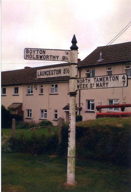
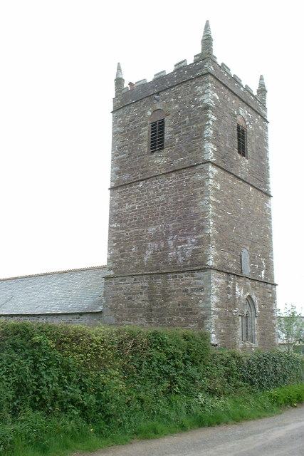
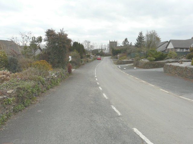
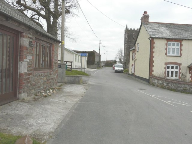
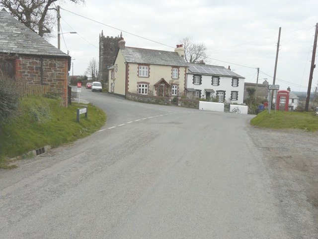
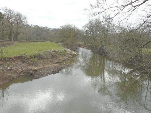
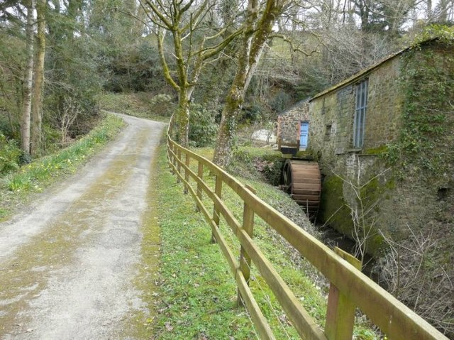
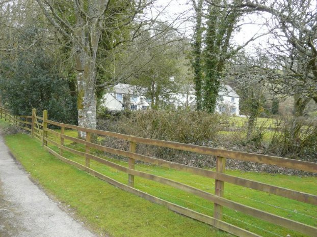
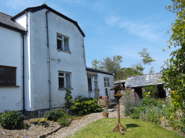
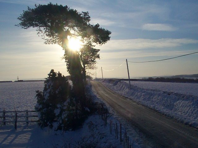
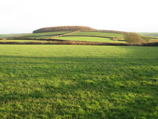
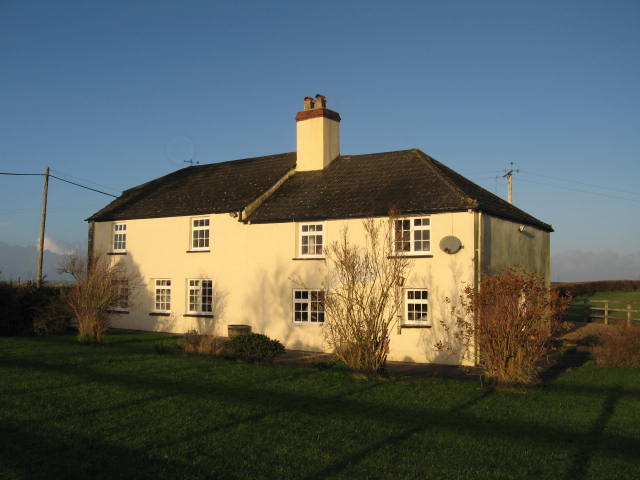
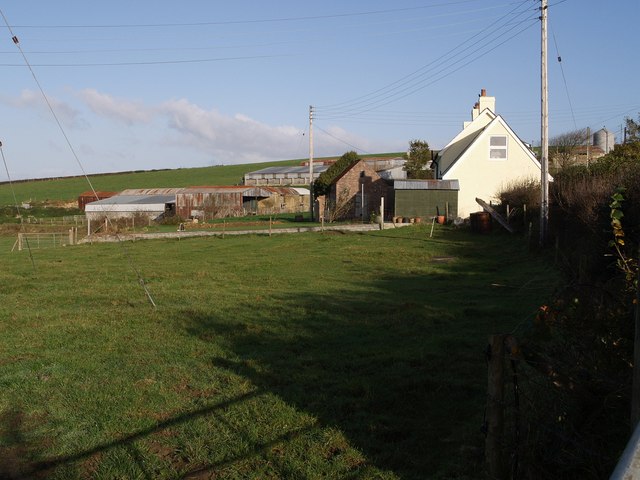
Hele Images

Images are sourced within 2km of 50.700976/-4.35948 or Grid Reference SX3391. Thanks to Geograph Open Source API. All images are credited.

Old Direction Sign - Signpost in Boyton Pyramid spear finial - 3 arms; Cornwall CC iron spear by the UC road, in parish of Boyton (North Cornwall District), in front of terraced houses, on verge, West side of road.

Cornwall & Scilly HER.
HER Number: MCO57744 <span class="nowrap"><a title="https://www.heritagegateway.org.uk/Gateway/Results_Single.aspx?uid=MCO57744&resourceID=1020" rel="nofollow ugc noopener" href="https://www.heritagegateway.org.uk/Gateway/Results_Single.aspx?uid=MCO57744&resourceID=1020">Link</a><img style="margin-left:2px;" alt="External link" title="External link - shift click to open in new window" src="https://s1.geograph.org.uk/img/external.png" width="10" height="10"/></span>

Surveyed

Milestone Society National ID: CW_SX3191
Old Direction Sign - Signpost in Boyton
Pyramid spear finial - 3 arms; Cornwall CC iron spear by the UC road, in parish of Boyton (North Cornwall District), in front of terraced houses, on verge, West side of road. Cornwall & Scilly HER. HER Number: MCO57744 LinkExternal link Surveyed Milestone Society National ID: CW_SX3191
Holy Name church, Boyton, Cornwall
Looking along Underlane Towards the church tower of Holy Name.
Looking along Underlane
Towards the church tower of Holy Name.
Looking along Underlane With the church tower of Holy Name on the right.
Looking along Underlane
With the church tower of Holy Name on the right.
The road through Boyton With the name-plate for Underhill (the road to the left) on the grass verge and the church tower of Holy Name beyond.
The road through Boyton
With the name-plate for Underhill (the road to the left) on the grass verge and the church tower of Holy Name beyond.
The Tamar from Boytonbridge
Waterwheel, Boyton Mill Seen from the bridleway past the mill.
Waterwheel, Boyton Mill
Seen from the bridleway past the mill.
Boyton Mill Seen from the bridleway past the mill.
Boyton Mill
Seen from the bridleway past the mill.
Downhayes Cottage The present structure comprises an original early nineteenth century cottage (nearest the lane) with a more recent extension built on at right angles. Some of the original outbuildings still stand (see right of picture). Down Hays (so spelt in the Census of 1841) was one of a number of cottages on the estate of Polapit Tamar which was owned during the nineteenth century by Edward Coode. Polapit Tamar House still stands, as does Wilkie (formerly Wilkey) Down cottage. All three properties are just off the Boyton to Yeolmbridge Road.
Downhayes Cottage
The present structure comprises an original early nineteenth century cottage (nearest the lane) with a more recent extension built on at right angles. Some of the original outbuildings still stand (see right of picture). Down Hays (so spelt in the Census of 1841) was one of a number of cottages on the estate of Polapit Tamar which was owned during the nineteenth century by Edward Coode. Polapit Tamar House still stands, as does Wilkie (formerly Wilkey) Down cottage. All three properties are just off the Boyton to Yeolmbridge Road.
Hessacott in the snow The main feature of this square is the extensive 360 degree views from the plateau in the centre. Dartmoor in the background.
Hessacott in the snow
The main feature of this square is the extensive 360 degree views from the plateau in the centre. Dartmoor in the background.
Wood above the River Tamar The wood is at the top of a hill and contains the head of tributary stream that goes down to the River Tamar in the valley beyond.
Wood above the River Tamar
The wood is at the top of a hill and contains the head of tributary stream that goes down to the River Tamar in the valley beyond.
Hessacott Cottage This house was originally two cottages which were built at different times in the 17th Century for workers on Hessacott Farm nearby. The construction is mostly cob and the roof, replaced approx in the 1970's was originally thatched.
Hessacott Cottage
This house was originally two cottages which were built at different times in the 17th Century for workers on Hessacott Farm nearby. The construction is mostly cob and the roof, replaced approx in the 1970's was originally thatched.
Boyton Bridge This not too impressive bridge was built in April 2006 to replace a similarly uninspring metal bridge.
Boyton Bridge
This not too impressive bridge was built in April 2006 to replace a similarly uninspring metal bridge.
Nissen hut above Boyton Bridge This hut is the remains of what I believe was an Italian PoW camp from WW2
Nissen hut above Boyton Bridge
This hut is the remains of what I believe was an Italian PoW camp from WW2
Canal basin The depression shown in the picture was a basin on the Launceston branch of the Bude Canal, which was constructed in the 1820s and ceased to operate in about 1891.  More excellent info on this is available at <span class="nowrap"><a title="http://www.bude-canal.co.uk/" rel="nofollow ugc noopener" href="http://www.bude-canal.co.uk/">Link</a><img style="margin-left:2px;" alt="External link" title="External link - shift click to open in new window" src="https://s1.geograph.org.uk/img/external.png" width="10" height="10"/></span>
Canal basin
The depression shown in the picture was a basin on the Launceston branch of the Bude Canal, which was constructed in the 1820s and ceased to operate in about 1891. More excellent info on this is available at LinkExternal link
Sheep near West Panson A field in rolling countryside between the valleys of the Tamar and the Carey, seen from the no through lane past <a href="https://www.geograph.org.uk/photo/605468">SX3590 : St Giles church, St Giles on the Heath</a> to the farm at West Panson.
Sheep near West Panson
A field in rolling countryside between the valleys of the Tamar and the Carey, seen from the no through lane past SX3590 : St Giles church, St Giles on the Heath to the farm at West Panson.
Farm cottage, West Panson One of a large group of buildings at the end of a two-kilometres long no through lane off the A388. The two farms, Higher and Lower West Panson Farm, are hidden behind.
Farm cottage, West Panson
One of a large group of buildings at the end of a two-kilometres long no through lane off the A388. The two farms, Higher and Lower West Panson Farm, are hidden behind.
Farmland near Higher Northcott Field boundaries and crop lines flow up the slope of the valley of a small tributary of the Tamar. Seen from the no through lane off the A388 leading to the farm at Hele.
Farmland near Higher Northcott
Field boundaries and crop lines flow up the slope of the valley of a small tributary of the Tamar. Seen from the no through lane off the A388 leading to the farm at Hele.
Show me another place!

Hele is located at Grid Ref: SX3391 (Lat: 50.700976, Lng: -4.35948)

Administrative County: Devon

District: Torridge

Police Authority: Devon and Cornwall

What 3 Words

///pure.kind.unspoiled. Near Boyton, Cornwall

Nearby Locations

Northcott Wood Hele

Related Wikis

Northcott, Devon

Northcott is a small settlement and civil parish in the far west of Devon, England. It lies about seven miles south of the town of Holsworthy and forms...

Boyton, Cornwall

Boyton (Cornish: Trevoya) is a civil parish and village in Cornwall, England, United Kingdom. It is situated close to the River Tamar and the border with...

Luffincott

Luffincott is a civil parish in the far west of Devon, England. It forms part of the local government district of Torridge and lies about six miles south...

Bridgetown, Cornwall

Bridgetown is a hamlet in the parish of Werrington, Cornwall. It has a Methodist chapel. == References ==

Nearby Amenities

Located within 500m of 50.700976,-4.35948
Direction: 190
Generator Method: photovoltaic
Generator Output Electricity: yes
Generator Solar Modules: 18
Generator Source: solar
Generator Type: solar_photovoltaic_panel
Location: roof
Power: generator
Lat/Long: 50.7011228/-4.3560136
Direction: 190
Generator Method: photovoltaic
Generator Output Electricity: yes
Generator Solar Modules: 18
Generator Source: solar
Generator Type: solar_photovoltaic_panel
Location: roof
Power: generator
Lat/Long: 50.7011492/-4.3560421
Direction: 190
Generator Method: photovoltaic
Generator Output Electricity: yes
Generator Solar Modules: 18
Generator Source: solar
Generator Type: solar_photovoltaic_panel
Location: roof
Power: generator
Lat/Long: 50.7010964/-4.355985
Direction: 190
Generator Method: photovoltaic
Generator Output Electricity: yes
Generator Solar Modules: 18
Generator Source: solar
Generator Type: solar_photovoltaic_panel
Location: roof
Power: generator
Lat/Long: 50.701202/-4.3560992
Direction: 190
Generator Method: photovoltaic
Generator Output Electricity: yes
Generator Solar Modules: 18
Generator Source: solar
Generator Type: solar_photovoltaic_panel
Location: roof
Power: generator
Lat/Long: 50.7012284/-4.3561278
Direction: 190
Generator Method: photovoltaic
Generator Output Electricity: yes
Generator Solar Modules: 18
Generator Source: solar
Generator Type: solar_photovoltaic_panel
Location: roof
Power: generator
Lat/Long: 50.7011756/-4.3560707
Direction: 190
Generator Method: photovoltaic
Generator Output Electricity: yes
Generator Solar Modules: 18
Generator Source: solar
Generator Type: solar_photovoltaic_panel
Location: roof
Power: generator
Lat/Long: 50.7012812/-4.3561849
Direction: 190
Generator Method: photovoltaic
Generator Output Electricity: yes
Generator Solar Modules: 18
Generator Source: solar
Generator Type: solar_photovoltaic_panel
Location: roof
Power: generator
Lat/Long: 50.7013075/-4.3562134
Direction: 190
Generator Method: photovoltaic
Generator Output Electricity: yes
Generator Solar Modules: 18
Generator Source: solar
Generator Type: solar_photovoltaic_panel
Location: roof
Power: generator
Lat/Long: 50.7012548/-4.3561563
Direction: 190
Generator Method: photovoltaic
Generator Output Electricity: yes
Generator Solar Modules: 18
Generator Source: solar
Generator Type: solar_photovoltaic_panel
Location: roof
Power: generator
Lat/Long: 50.7013603/-4.3562705
Direction: 190
Generator Method: photovoltaic
Generator Output Electricity: yes
Generator Solar Modules: 18
Generator Source: solar
Generator Type: solar_photovoltaic_panel
Location: roof
Power: generator
Lat/Long: 50.7013867/-4.3562991
Direction: 190
Generator Method: photovoltaic
Generator Output Electricity: yes
Generator Solar Modules: 18
Generator Source: solar
Generator Type: solar_photovoltaic_panel
Location: roof
Power: generator
Lat/Long: 50.7013339/-4.356242
Direction: 190
Generator Method: photovoltaic
Generator Output Electricity: yes
Generator Solar Modules: 18
Generator Source: solar
Generator Type: solar_photovoltaic_panel
Location: roof
Power: generator
Lat/Long: 50.7014659/-4.3563848
Direction: 190
Generator Method: photovoltaic
Generator Output Electricity: yes
Generator Solar Modules: 18
Generator Source: solar
Generator Type: solar_photovoltaic_panel
Location: roof
Power: generator
Lat/Long: 50.7014395/-4.3563562
Direction: 190
Generator Method: photovoltaic
Generator Output Electricity: yes
Generator Solar Modules: 18
Generator Source: solar
Generator Type: solar_photovoltaic_panel
Location: roof
Power: generator
Lat/Long: 50.7014131/-4.3563277
The data included in this document is from www.openstreetmap.org. The data is made available under ODbL.

Have you been to Hele?

Leave your review of Hele below (or comments, questions and feedback).