Lullingstone Park
Downs, Moorland in Kent Sevenoaks
England
Lullingstone Park
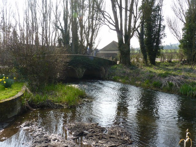
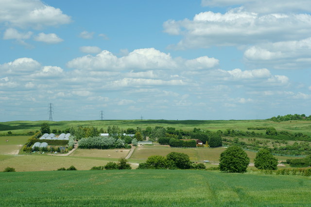
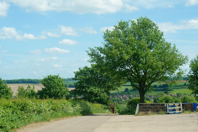
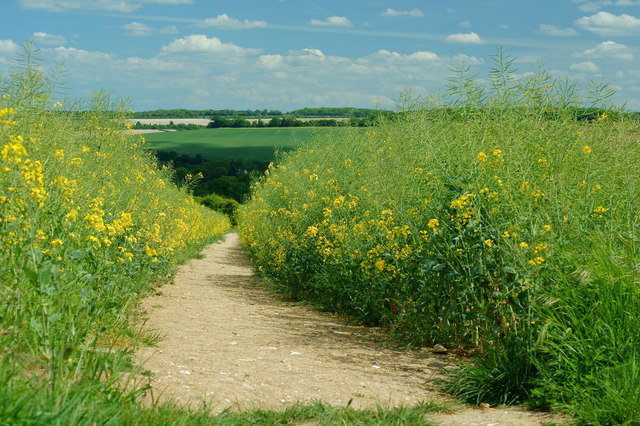
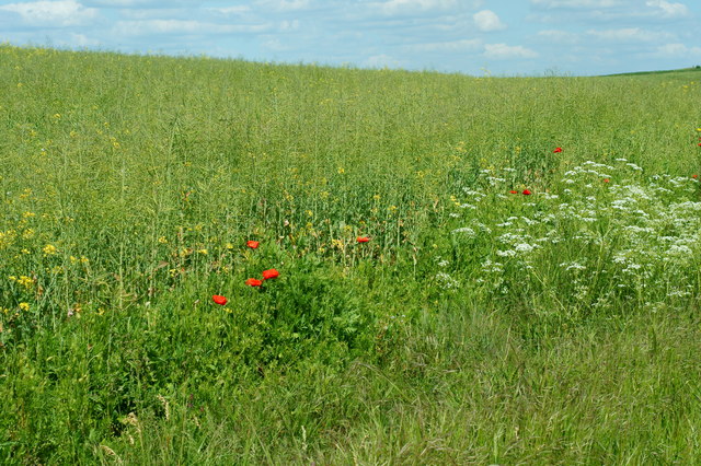
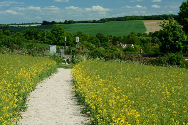
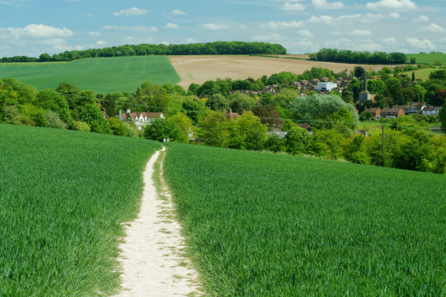
Lullingstone Park is a picturesque nature reserve located in the county of Kent, England. Covering an extensive area of 460 acres, the park offers a diverse range of landscapes, including downs and moorland, providing visitors with a tranquil and scenic environment.
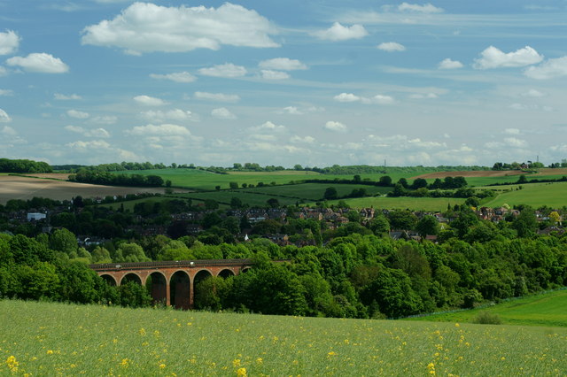
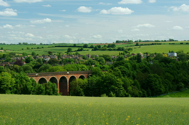
Situated within the North Downs Area of Outstanding Natural Beauty, Lullingstone Park is renowned for its stunning views of the surrounding countryside. The site boasts an array of walking trails, allowing visitors to explore the park at their own pace and discover its natural treasures. From the gently rolling downs to the more rugged moorland, there is something to suit every outdoor enthusiast.
The park is home to a rich variety of flora and fauna, making it a haven for nature lovers. Wildflowers, such as orchids and bluebells, carpet the meadows in spring, while ancient woodlands provide a habitat for a diverse range of bird species. The park's moorland areas are also home to unique plant species, including heather and gorse.
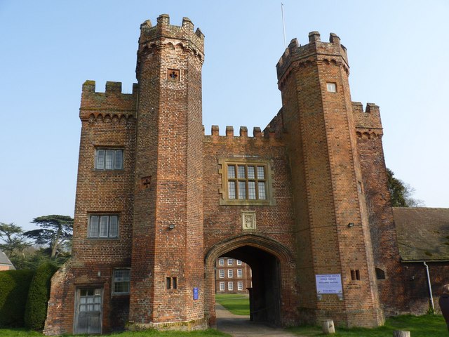
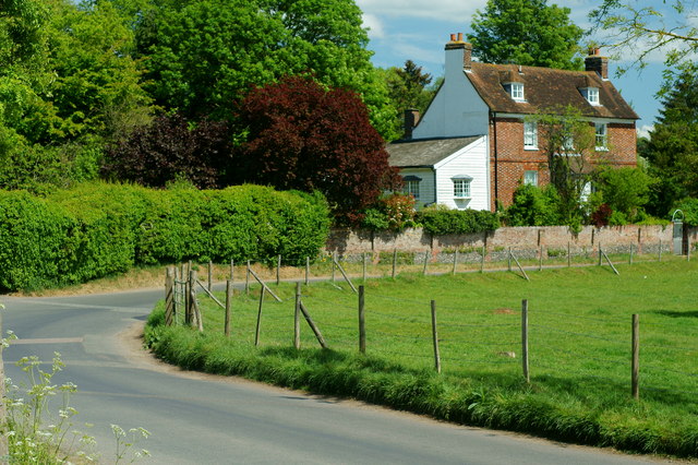
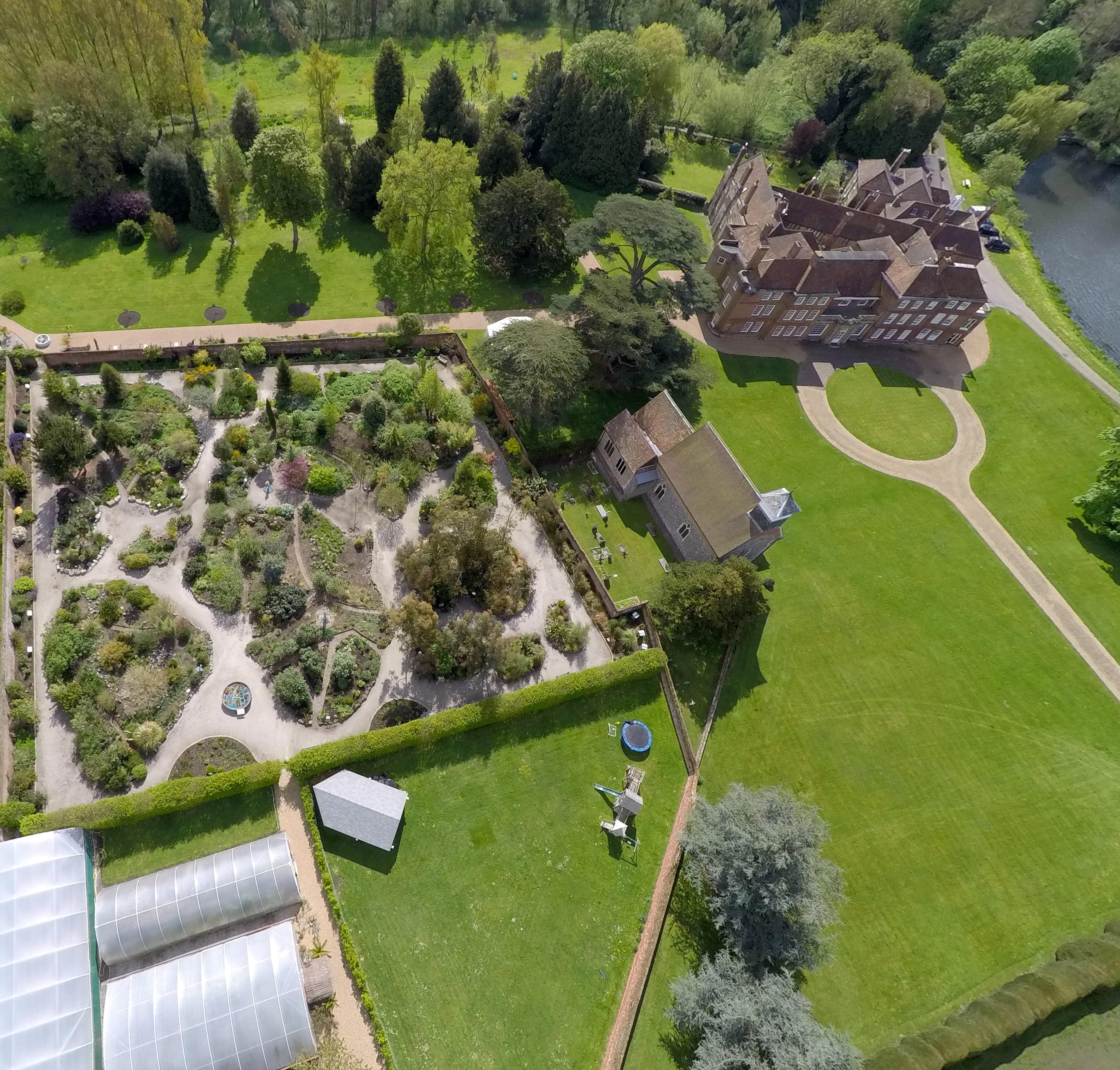
Aside from its natural beauty, Lullingstone Park also boasts a wealth of historical and cultural significance. The park is home to Lullingstone Castle, a medieval manor house that has been inhabited by the same family for over six centuries. Visitors can explore the castle's grounds and gardens, which are renowned for their beautiful topiary and rare plants.
Overall, Lullingstone Park offers a delightful escape from the hustle and bustle of everyday life. With its stunning landscapes, abundant wildlife, and historical charm, it is a must-visit destination for those seeking a peaceful and enriching experience in the heart of Kent.
If you have any feedback on the listing, please let us know in the comments section below.
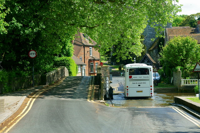
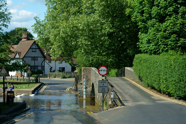
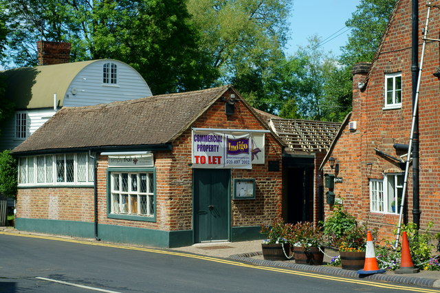
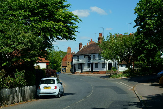
Lullingstone Park Images
Images are sourced within 2km of 51.359305/0.19844041 or Grid Reference TQ5364. Thanks to Geograph Open Source API. All images are credited.


Lullingstone Park is located at Grid Ref: TQ5364 (Lat: 51.359305, Lng: 0.19844041)
Administrative County: Kent
District: Sevenoaks
Police Authority: Kent
What 3 Words
///loses.humble.tribe. Near Eynsford, Kent
Nearby Locations
Related Wikis
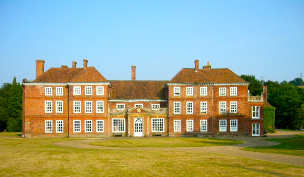
Lullingstone Castle
Lullingstone Castle is a historic manor house, set in an estate in the village of Lullingstone and the civil parish of Eynsford in the English county of...

St Botolph's Church, Lullingstone
St Botolph's Church is an Anglican church in the village of Lullingstone, in Kent, England, situated on the lawn of Lullingstone Castle. It dates from...
Lullingstone
Lullingstone is a village in the county of Kent, England. It is best known for its castle, Roman villa and its public golf course. Lullingstone was a civil...

Lullingstone Roman Villa
Lullingstone Roman Villa is a villa built during the Roman occupation of Britain, situated in Lullingstone near the village of Eynsford in Kent, south...

Eynsford railway station
Eynsford railway station serves Eynsford in Kent, England. It is 20 miles 32 chains (32.8 km) down the line from London Victoria and is situated between...

Eynsford
Eynsford ( or ) is a village and civil parish in the Sevenoaks District of Kent, England. It is located 3.3 miles (5 km) south east of Swanley, 7 miles...

Preston Hill Country Park
Preston Hill Country Park is in Eynsford, in Kent, England. It is a woodland and former military firing range. Within the site of the park and woodland...

Eynsford Castle
Eynsford Castle is a ruined medieval fortification in Eynsford, Kent. Built on the site of an earlier Anglo-Saxon stone burh, the castle was constructed...
Nearby Amenities
Located within 500m of 51.359305,0.19844041Have you been to Lullingstone Park?
Leave your review of Lullingstone Park below (or comments, questions and feedback).