Robsack Plantation

Wood, Forest in Kent Sevenoaks

England

Robsack Plantation

Lullingstone Castle, near Shoreham, Kent
Lullingstone Castle, near Shoreham, Kent Credit: Becky Williamson

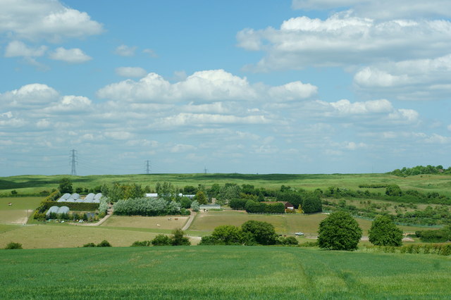
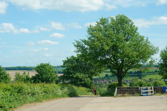
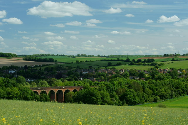
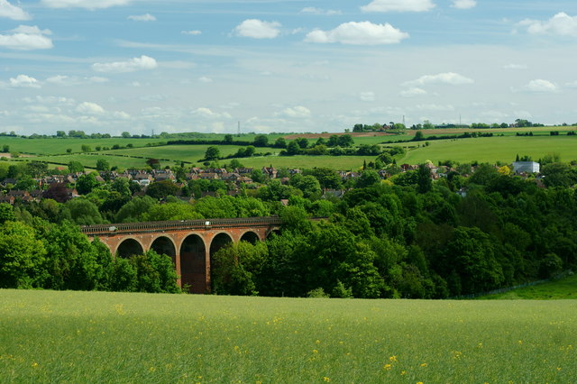
Robsack Plantation, located in Kent, is a picturesque woodland area known for its natural beauty and diverse ecosystem. Spread across a sprawling area, it offers a serene escape from the bustling city life. The plantation is a part of the larger Bedgebury Forest and Pinetum, which is a popular destination for nature enthusiasts and outdoor activities.

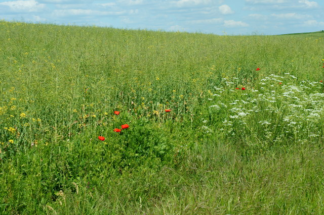
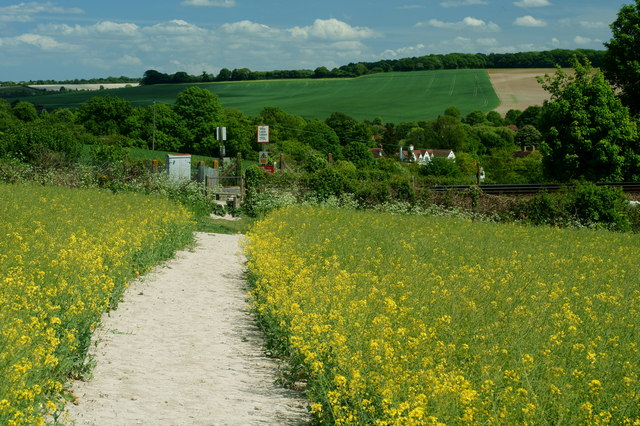
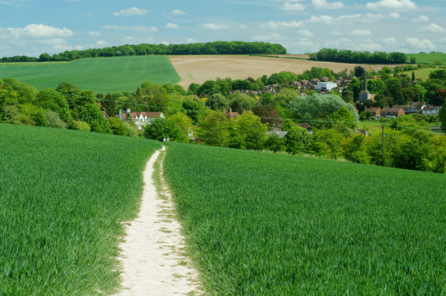
Robsack Plantation is characterized by its dense woodland, consisting of a variety of native tree species such as oak, birch, and beech. The vibrant green foliage provides a stunning backdrop throughout the year, whilst also supporting a wide range of wildlife. Visitors can expect to spot various bird species, including woodpeckers and owls, as well as small mammals like squirrels and deer.

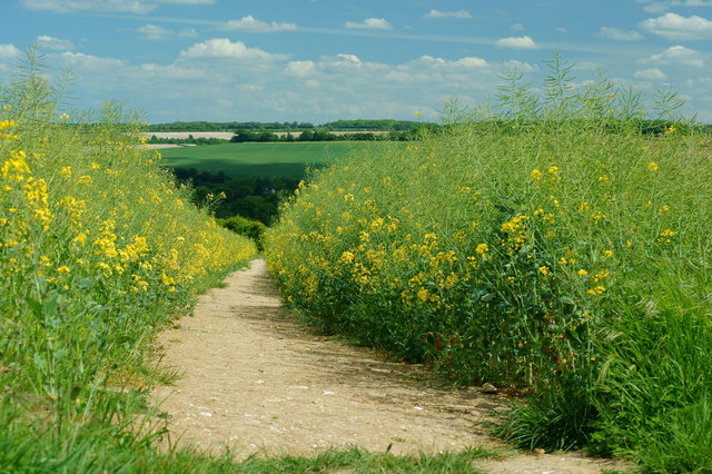
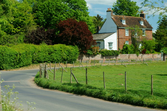
The plantation is well-maintained, with clearly marked paths and trails that allow visitors to explore the area freely. There are also designated picnic spots and benches, providing an ideal setting for a leisurely lunch amidst the tranquil surroundings. The plantation is also home to a number of well-preserved historical features, including old boundary walls and remnants of ancient settlements, adding a touch of history to the natural landscape.

Robsack Plantation is a popular spot for outdoor activities such as walking, jogging, and cycling. The well-maintained trails cater to all levels of fitness, making it accessible for families and individuals alike. Additionally, the plantation offers a number of educational programs and guided walks, providing visitors with an opportunity to learn about the local flora and fauna.

Overall, Robsack Plantation is a haven for nature lovers, offering a peaceful retreat in the heart of Kent's woodlands. Its natural beauty, diverse wildlife, and well-maintained trails make it a perfect destination for outdoor enthusiasts and those seeking a connection with nature.

If you have any feedback on the listing, please let us know in the comments section below.

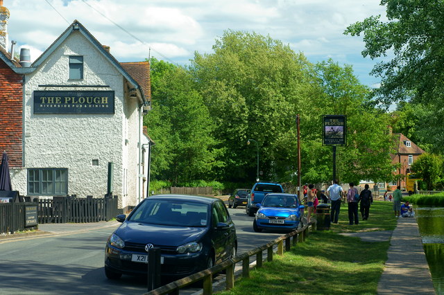
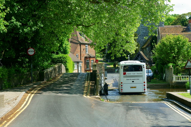
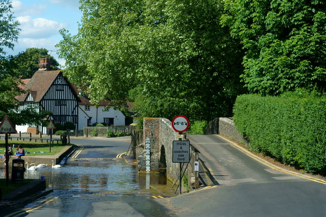
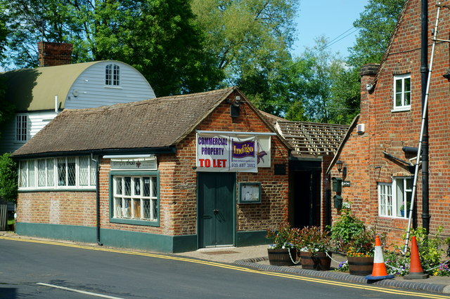
Robsack Plantation Images

Images are sourced within 2km of 51.358633/0.20168322 or Grid Reference TQ5364. Thanks to Geograph Open Source API. All images are credited.

Lullingstone Castle, near Shoreham, Kent
Bridge over River Darent at Castle Farm
Bald Eagle at Eagle Heights, Eynsford, Kent Bald eagle (Haliaeetus leucocephalus). Seen during the lunchtime flying display.
<span class="nowrap"><a title="http://www.eagleheights.co.uk/" rel="nofollow ugc noopener" href="http://www.eagleheights.co.uk/">Link</a><img style="margin-left:2px;" alt="External link" title="External link - shift click to open in new window" src="https://s1.geograph.org.uk/img/external.png" width="10" height="10"/></span>
Bald Eagle at Eagle Heights, Eynsford, Kent
Bald eagle (Haliaeetus leucocephalus). Seen during the lunchtime flying display. LinkExternal link
Cheetah at Eagle Heights, Eynsford, Kent One of three cheetahs (Acinonyx jubatus) in the enclosure.
<span class="nowrap"><a title="http://www.eagleheights.co.uk/" rel="nofollow ugc noopener" href="http://www.eagleheights.co.uk/">Link</a><img style="margin-left:2px;" alt="External link" title="External link - shift click to open in new window" src="https://s1.geograph.org.uk/img/external.png" width="10" height="10"/></span>
Cheetah at Eagle Heights, Eynsford, Kent
One of three cheetahs (Acinonyx jubatus) in the enclosure. LinkExternal link
View From Eagle Heights, Eynsford, Kent Looking in the direction of Capricorn Farm. The railway line runs between the double row of diagonal hedges, to the right of picture
View From Eagle Heights, Eynsford, Kent
Looking in the direction of Capricorn Farm. The railway line runs between the double row of diagonal hedges, to the right of picture
View From Eagle Heights, Eynsford, Kent Looking across the valley, in the direction of Eynsford.
View From Eagle Heights, Eynsford, Kent
Looking across the valley, in the direction of Eynsford.
Footpath to Eynsford, Kent Leaving the road, just below Eagle Heights; the footpath heads towards Eynsford, crossing the railway line en route. Photographed through the fading yellow of the rape crop.
Footpath to Eynsford, Kent
Leaving the road, just below Eagle Heights; the footpath heads towards Eynsford, crossing the railway line en route. Photographed through the fading yellow of the rape crop.
Crop Meets Wild Flowers At the field edge; the crop of rape finishes, and is met by poppies and cow parsley. A hedge is out of picture, to the right. Photograph taken from the footpath between Eagle Heights and Eynsford, Kent.
Crop Meets Wild Flowers
At the field edge; the crop of rape finishes, and is met by poppies and cow parsley. A hedge is out of picture, to the right. Photograph taken from the footpath between Eagle Heights and Eynsford, Kent.
View Towards Eynsford, Kent Looking across the railway viaduct, towards the village of Eynsford.
View Towards Eynsford, Kent
Looking across the railway viaduct, towards the village of Eynsford.
Eynsford Railway Viaduct, Kent Looking towards the viaduct, and village of Eynsford, from the footpath.
Eynsford Railway Viaduct, Kent
Looking towards the viaduct, and village of Eynsford, from the footpath.
Footpath to Eynsford. Kent The footpath crosses the railway line, before dropping into the Darent Valley.
Footpath to Eynsford. Kent
The footpath crosses the railway line, before dropping into the Darent Valley.
Footpath to Eynsford, Kent View from just below the railway line. Eynsford Village, and church, can be seen to the right of picture.
Footpath to Eynsford, Kent
View from just below the railway line. Eynsford Village, and church, can be seen to the right of picture.
Lullingstone Lane, Eynsford, Kent View from a bench, which must have been placed with the view in mind. This is the outskirts of Eynsford Village.
Lullingstone Lane, Eynsford, Kent
View from a bench, which must have been placed with the view in mind. This is the outskirts of Eynsford Village.
Riverside, Eynsford, Kent I'm guessing that this will be a popular location, on summer weekends. Pub to the left, River Darent to the right.
Riverside, Eynsford, Kent
I'm guessing that this will be a popular location, on summer weekends. Pub to the left, River Darent to the right.
Through the Ford Fording the River Darent, at Eynsford,  is a coach. Large vehicles are obliged to use the ford, to avoid 'grounding' on the old bridge.
Through the Ford
Fording the River Darent, at Eynsford, is a coach. Large vehicles are obliged to use the ford, to avoid 'grounding' on the old bridge.
Bridge and Ford, Eynsford, Kent Ancient bridge, and ford, in this lovely village. Just out of picture, to the right, stood a tea room; popular with cycling clubs. This closed several years ago.
Bridge and Ford, Eynsford, Kent
Ancient bridge, and ford, in this lovely village. Just out of picture, to the right, stood a tea room; popular with cycling clubs. This closed several years ago.
Former Tearoom, Eynsford, Kent This former tearoom, standing by the bridge and ford, was popular with cycling clubs. Sadly, it closed in c2003.
Former Tearoom, Eynsford, Kent
This former tearoom, standing by the bridge and ford, was popular with cycling clubs. Sadly, it closed in c2003.
High Street, Eynsford, Kent A rare traffic-free minute, in this lovely village.
High Street, Eynsford, Kent
A rare traffic-free minute, in this lovely village.
Show me another place!

Robsack Plantation is located at Grid Ref: TQ5364 (Lat: 51.358633, Lng: 0.20168322)

Administrative County: Kent

District: Sevenoaks

Police Authority: Kent

What 3 Words

///twin.fuels.slug. Near Eynsford, Kent

Related Wikis

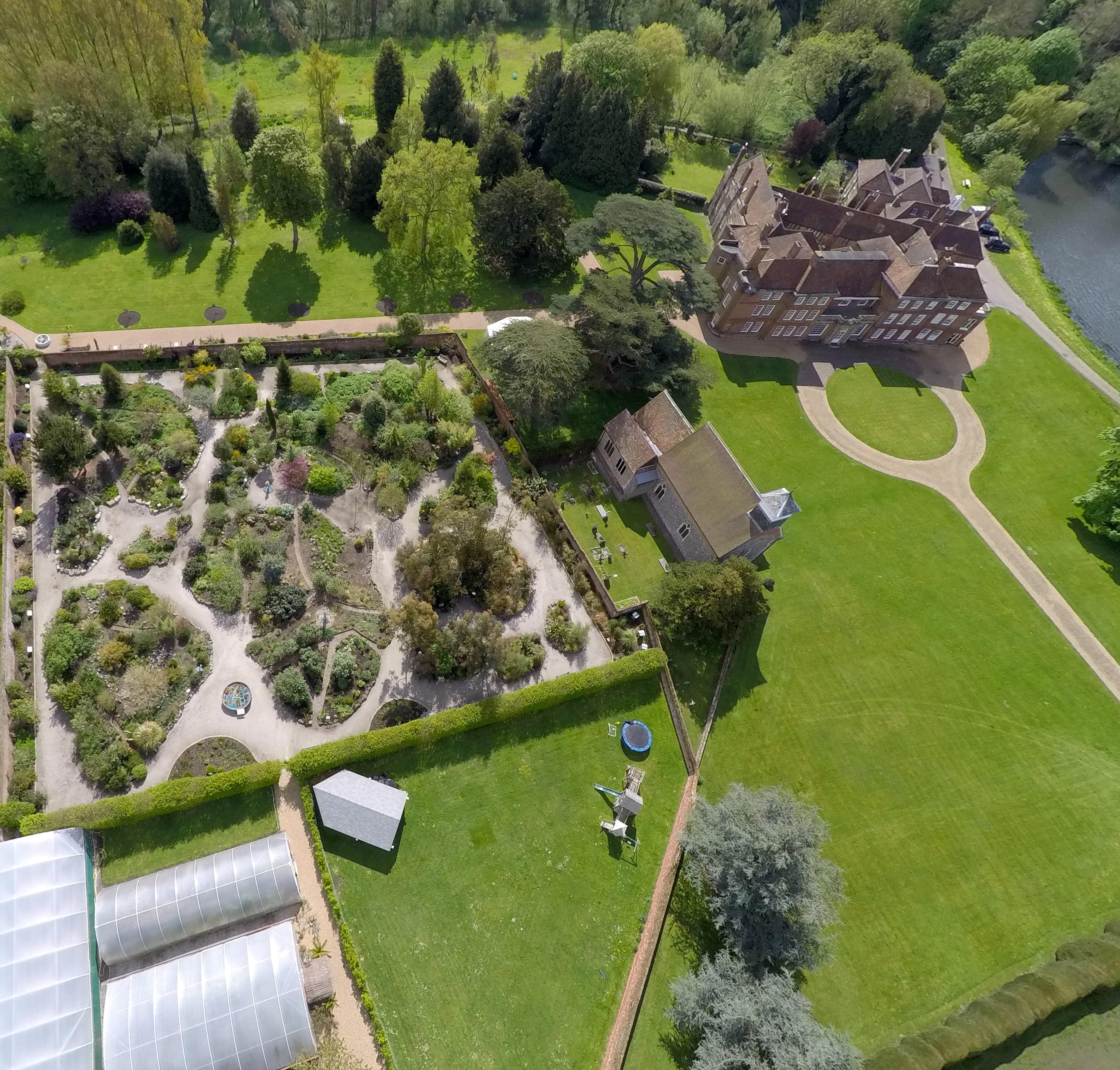
St Botolph's Church, Lullingstone

St Botolph's Church is an Anglican church in the village of Lullingstone, in Kent, England, situated on the lawn of Lullingstone Castle. It dates from...
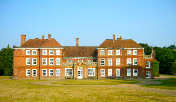
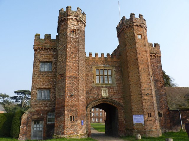
Lullingstone Castle

Lullingstone Castle is a historic manor house, set in an estate in the village of Lullingstone and the civil parish of Eynsford in the English county of...

Eynsford railway station

Eynsford railway station serves Eynsford in Kent, England. It is 20 miles 32 chains (32.8 km) down the line from London Victoria and is situated between...

Lullingstone

Lullingstone is a village in the county of Kent, England. It is best known for its castle, Roman villa and its public golf course. Lullingstone was a civil...

Lullingstone Roman Villa

Lullingstone Roman Villa is a villa built during the Roman occupation of Britain, situated in Lullingstone near the village of Eynsford in Kent, south...
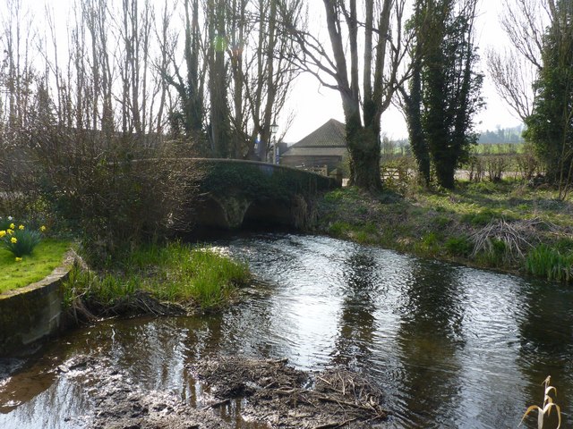
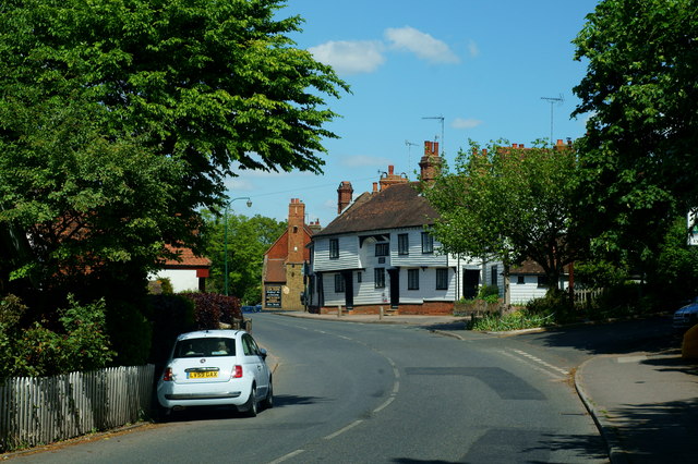
Eynsford

Eynsford ( or ) is a village and civil parish in the Sevenoaks District of Kent, England. It is located 3.3 miles (5 km) south east of Swanley, 7 miles...

Preston Hill Country Park

Preston Hill Country Park is in Eynsford, in Kent, England. It is a woodland and former military firing range. Within the site of the park and woodland...

Eynsford Castle

Eynsford Castle is a ruined medieval fortification in Eynsford, Kent. Built on the site of an earlier Anglo-Saxon stone burh, the castle was constructed...

Nearby Amenities

Located within 500m of 51.358633,0.20168322
Eynsford
Public Transport: stop_position
Railway: stop
Ref: 1
Train: yes
Lat/Long: 51.3628017/0.2042849
Created By: YahooApplet 1.0
Lat/Long: 51.3551242/0.2000968
Created By: YahooApplet 1.0
Lat/Long: 51.3576031/0.1954405
Parking
Capacity: 20
Fee: yes
Parking: surface
Lat/Long: 51.3624011/0.2045265
Removed Amenity: telephone
Survey Date: 2022-05-25
Wikimedia Commons: File:Eynsford Station - geograph.org.uk - 3545611.jpg
Lat/Long: 51.362742/0.2044816
Barrier: entrance
Lat/Long: 51.358959/0.1959179
Barrier: entrance
Lat/Long: 51.3591675/0.1960075
Toilets
Lat/Long: 51.3581855/0.1951185
Toilets
Lat/Long: 51.3591954/0.1952673
Recycling
Lat/Long: 51.3610724/0.2031432
Eynsford
Public Transport: stop_position
Railway: stop
Ref: 2
Train: yes
Lat/Long: 51.3618358/0.2040886
Eynsford
Naptan AtcoCode: 9100EYNSFD
Network: National Rail
Network Website: https://www.nationalrail.co.uk/stations/eyn/
Network Wikidata: Q26334
Operator: Southeastern
Operator Website: https://www.southeasternrailway.co.uk/travel-information/more-travel-help/station-information/stations/eynsford
Operator Wikidata: Q1696490
Public Transport: station
Railway: station
Ref Crs: EYN
Source: NPE
Wikidata: Q2324147
Wikipedia: en:Eynsford railway station
Lat/Long: 51.3623288/0.2042149
Shelter
Bench: yes
Bin: no
Shelter Type: picnic_shelter
Lat/Long: 51.3584235/0.1991929
Bicycle Parking
Bicycle Parking: stands
Capacity: 8
Covered: no
Lat/Long: 51.3625583/0.2044164
Vending Machine
Vending: public_transport_tickets
Lat/Long: 51.3625212/0.2043733
Bus Stop
Castle Road
Local Ref: opp
Naptan AtcoCode: 2400A074660A
Naptan Bearing: SW
Naptan BusStopType: MKD
Naptan CommonName: Castle Road
Naptan Crossing: Castle Road
Naptan Indicator: opp
Naptan Landmark: Castle Road
Naptan NaptanCode: kntjmgdj
Naptan RevisionNumber: 2
Naptan Status: act
Naptan Street: A225 Shoreham Road
Naptan Verified: no
Public Transport: platform
Ref: kntjmgdj
Source: naptan_import
Source Date: 2018-04-24
Lat/Long: 51.3557422/0.2005392
Bus Stop
Castle Road
Local Ref: adj
Naptan AtcoCode: 2400A074650A
Naptan Bearing: N
Naptan BusStopType: MKD
Naptan CommonName: Castle Road
Naptan Crossing: Castle Road
Naptan Indicator: adj
Naptan Landmark: Castle Road
Naptan NaptanCode: kntjmgdm
Naptan RevisionNumber: 2
Naptan Status: act
Naptan Street: A225 Shoreham Road
Naptan Verified: no
Public Transport: platform
Ref: kntjmgdm
Source: naptan_import
Source Date: 2018-04-24
Lat/Long: 51.3566045/0.2005949
Defibrillator
Access: yes
Defibrillator Location: Outside wall next to entrance door, 0.75 metre above ground
Emergency: defibrillator
Wheelchair: yes
Lat/Long: 51.3627035/0.2044868
Entrance: yes
Lat/Long: 51.362712/0.2044883
Defibrillator
Access: yes
Defibrillator Location: outside wall of building
Emergency: defibrillator
Lat/Long: 51.3611566/0.1958287
The data included in this document is from www.openstreetmap.org. The data is made available under ODbL.

Have you been to Robsack Plantation?

Leave your review of Robsack Plantation below (or comments, questions and feedback).