Collins Croft Field

Downs, Moorland in Norfolk King's Lynn and West Norfolk

England

Collins Croft Field

West Drove, Walpole St Peter
West Drove, Walpole St Peter Credit: David Howard

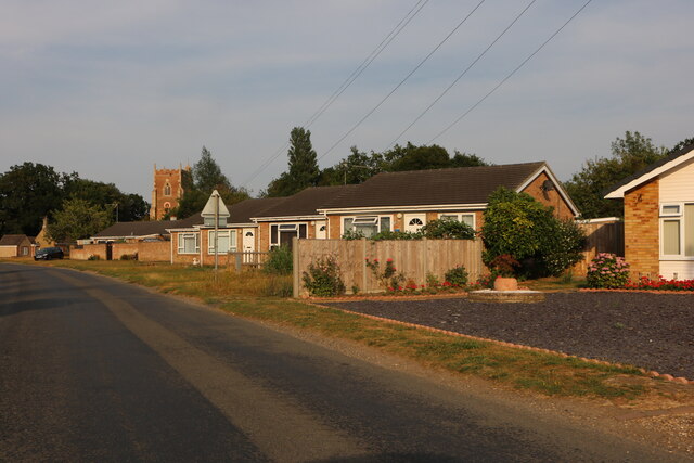
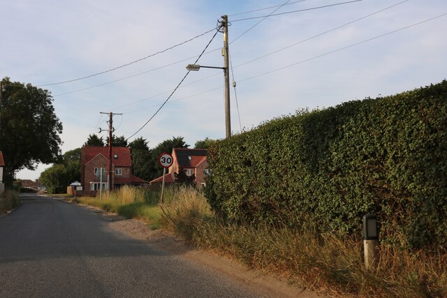
Collins Croft Field, located in Norfolk, is a picturesque area known for its stunning natural beauty and diverse wildlife. Situated in the heart of the countryside, the field is surrounded by rolling hills, lush green meadows, and serene moorland. It covers a vast expanse, offering visitors plenty of space to explore and enjoy the tranquility of the surroundings.

The field is home to a variety of plant species, including wildflowers such as buttercups, daisies, and poppies, which create a vibrant and colorful landscape. It is also a haven for wildlife enthusiasts, with numerous bird species making their homes in the area. Visitors can often spot beautiful birds like thrushes, finches, and sparrows, as well as larger creatures like rabbits and foxes.

Collins Croft Field is a popular spot for outdoor activities, such as picnicking, walking, and nature photography. The field boasts well-maintained footpaths that wind through the countryside, providing stunning views of the surrounding landscape. Many visitors also enjoy bringing along their dogs to explore the field and let them run freely in the open space.

Furthermore, the field offers a sense of tranquility and solitude, making it an ideal place for those seeking relaxation and a break from the hustle and bustle of everyday life. The gently sloping terrain and peaceful atmosphere create a serene ambiance, perfect for those looking to unwind and reconnect with nature.

Overall, Collins Croft Field in Norfolk is a natural gem, offering visitors a chance to immerse themselves in the beauty of the countryside and experience the wonders of the great outdoors.

If you have any feedback on the listing, please let us know in the comments section below.

Collins Croft Field Images

Images are sourced within 2km of 52.727711/0.23910231 or Grid Reference TF5116. Thanks to Geograph Open Source API. All images are credited.

West Drove, Walpole St Peter
Walnut Road, Walpole St Peter At the end of West Drove North
Walnut Road, Walpole St Peter
At the end of West Drove North
Converted shop in Walpole St Peter This was a corner shop called Lion Services now in the process of becoming residential.
Converted shop in Walpole St Peter
This was a corner shop called Lion Services now in the process of becoming residential.
Bungalow on Police Road, Walpole St Peter
Field and houses by Wisbech Road, Walpole St Andrew
Wisbech Road, Walpole St Andrew
Field by West Drove North, Walpole St Peter
West Drove North, Walpole St Peter
Village Sign The new village sign at Walpole St Andrew.
The sign commemorates the very successful steam rally that used to be held in the village for many years.
In the background is the tower of St Andrew's Church.
Village Sign
The new village sign at Walpole St Andrew. The sign commemorates the very successful steam rally that used to be held in the village for many years. In the background is the tower of St Andrew's Church.
Walpole St Peter: passage under the chancel In "England's Thousand Best Churches" Simon Jenkins wrote: "This is not just a 'bolt-hole', its local nickname, but a passage with cobbles underfoot, tierceron vault and no fewer than 12 bosses. It must form the handsomest covered street in England. The purpose is unknown, but it was probably an ancient processional route of such significance that nobody dared divert it when the chancel was rebuilt above."  The building framed by the arch is the last house on School Lane.
Walpole St Peter: passage under the chancel
In "England's Thousand Best Churches" Simon Jenkins wrote: "This is not just a 'bolt-hole', its local nickname, but a passage with cobbles underfoot, tierceron vault and no fewer than 12 bosses. It must form the handsomest covered street in England. The purpose is unknown, but it was probably an ancient processional route of such significance that nobody dared divert it when the chancel was rebuilt above." The building framed by the arch is the last house on School Lane.
Walpole St Peter: sunlight and shadows "It is a place not of curiosity but of subtle proportion, of the play of light on stone and wood. If English churches were Dutch Old Masters, this would be St Pieter de Hooch" (Simon Jenkins: "England's Thousand Best Churches").
Walpole St Peter: sunlight and shadows
"It is a place not of curiosity but of subtle proportion, of the play of light on stone and wood. If English churches were Dutch Old Masters, this would be St Pieter de Hooch" (Simon Jenkins: "England's Thousand Best Churches").
New house, Chalk Road
The Church of Walpole St Peter
Dovecot, Walpole St Peter's Attractive cottage on Church Road, dating from 1598.
Dovecot, Walpole St Peter's
Attractive cottage on Church Road, dating from 1598.
Ceiling bosses, Walpole St Peter In the church porch.
Ceiling bosses, Walpole St Peter
In the church porch.
Please remove your pattens at the door "It is requested that all persons will take off their Pattens at the Church Door" says the sign in the church porch ...... in the days before metalled roads and good sanitation, streets and footpaths were frequently muddy and/or strewn with human and animal waste, so pattens were worn to raise the wearer from the mess underfoot.  Pattens were a kind of strap-on overshoe, with a wooden sole raised on a metal substructure (a pair are on display above the notice), needing quite a bit of practice to be worn successfully.
Please remove your pattens at the door
"It is requested that all persons will take off their Pattens at the Church Door" says the sign in the church porch ...... in the days before metalled roads and good sanitation, streets and footpaths were frequently muddy and/or strewn with human and animal waste, so pattens were worn to raise the wearer from the mess underfoot. Pattens were a kind of strap-on overshoe, with a wooden sole raised on a metal substructure (a pair are on display above the notice), needing quite a bit of practice to be worn successfully.
"Hudd", Walpole St Peter's The "hudd" was a shelter used by the priest at rainy funerals (I guess the 'ordinary' mourners just got wet).  Now it serves as a handy storage-place for folding tables.
"Hudd", Walpole St Peter's
The "hudd" was a shelter used by the priest at rainy funerals (I guess the 'ordinary' mourners just got wet). Now it serves as a handy storage-place for folding tables.
Show me another place!

Collins Croft Field is located at Grid Ref: TF5116 (Lat: 52.727711, Lng: 0.23910231)

Administrative County: Norfolk

District: King's Lynn and West Norfolk

Police Authority: Norfolk

What 3 Words

///smoke.recapture.desktop. Near Terrington St John, Norfolk

Nearby Locations

Collins Croft Field

Related Wikis

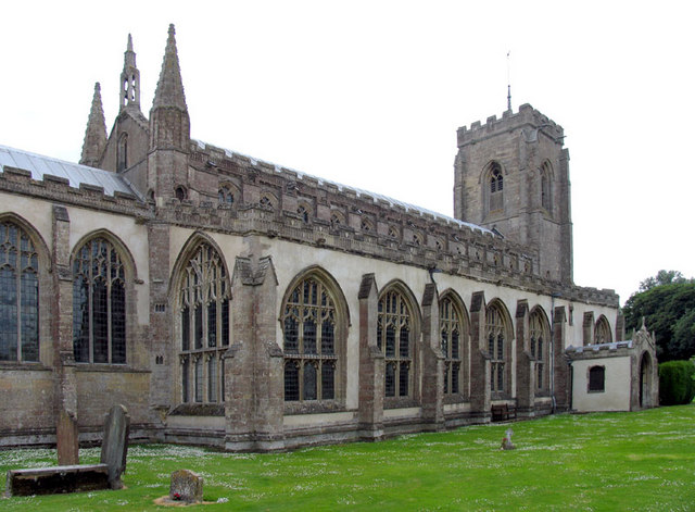
St Peter's Church, Walpole St Peter

St Peter's Church is an active Anglican parish church in Walpole St Peter, Norfolk, England. One of the largest churches in the county, it is known as...

St Andrew's Church, Walpole

St Andrew's Church is a redundant Anglican church in the village of Walpole, Norfolk, England. It is recorded in the National Heritage List for England...
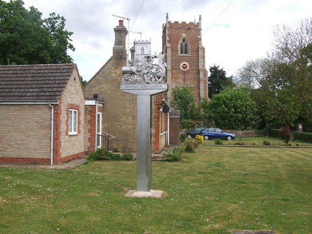
Walpole, Norfolk

Walpole is a civil parish in Norfolk, England. The parish includes the conjoined villages of Walpole St Andrew and Walpole St Peter. Walpole Highway and...

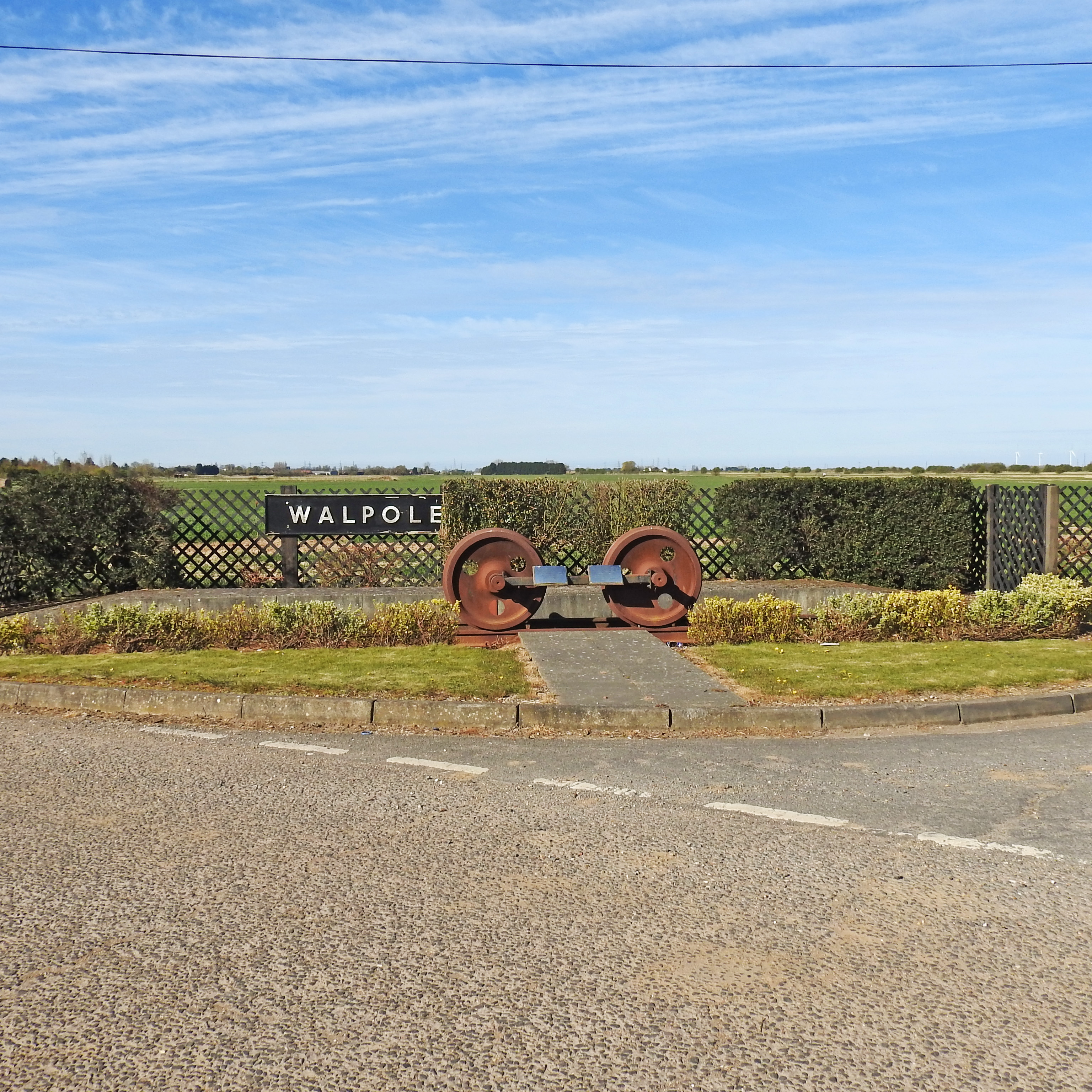
Walpole railway station (England)

Walpole railway station was a station in Norfolk. It is now disused. First opened in 1882, it was part of the Midland and Great Northern Joint Railway...

Walpole Highway

Walpole Highway is a village and civil parish in the English county of Norfolk. It covers an area of 10.48 km2 (4.05 sq mi) and had a population of 685...

Walpole Cross Keys

Walpole Cross Keys is a village and civil parish in the English county of Norfolk. It covers an area of 4.03 km2 (1.56 sq mi) and had a population of 469...

Terrington St John

Terrington St John is a village and civil parish in the English county of Norfolk. The village lies to the south of the route of the A47 between Peterborough...

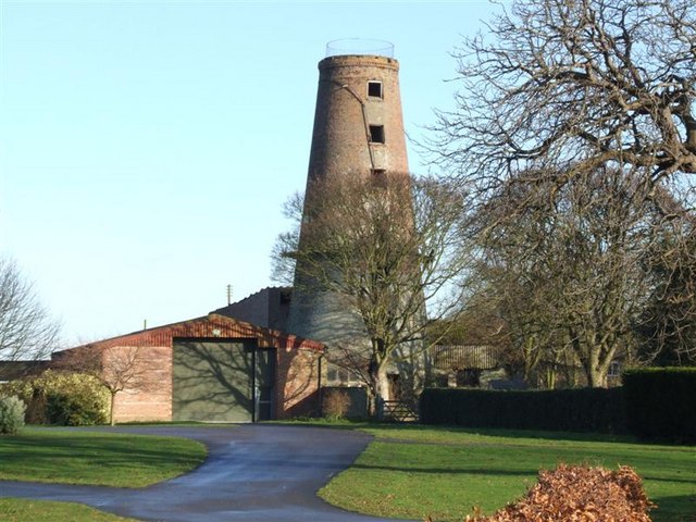
Ingleborough Tower Windmill, West Walton

Ingleborough Tower Windmill is one mile north of the village of West Walton in Norfolk, England. The windmill is in the yard of Hill House Farm alongside...

Nearby Amenities

Located within 500m of 52.727711,0.23910231
Power: tower
Lat/Long: 52.7248442/0.2403686
Power: tower
Lat/Long: 52.7242269/0.2369997
Power: tower
Lat/Long: 52.7255135/0.2440915
Power: tower
Lat/Long: 52.7236486/0.2422783
Collins Croft Field
Place: locality
Lat/Long: 52.7282412/0.2388253
Waterloo Farm
Place: farm
Lat/Long: 52.7262238/0.2351308
Home Farm
Place: farm
Lat/Long: 52.7250594/0.2357981
Noexit: yes
Lat/Long: 52.7274565/0.2320728
The data included in this document is from www.openstreetmap.org. The data is made available under ODbL.

Have you been to Collins Croft Field?

Leave your review of Collins Croft Field below (or comments, questions and feedback).