South District

Downs, Moorland in Norfolk King's Lynn and West Norfolk

England

South District

House by Wisbech Road, Lakes End
House by Wisbech Road, Lakes End Credit: David Howard

South District, Norfolk (Downs, Moorland) is a vibrant and diverse neighborhood located in the southern part of Norfolk, England. The district is known for its picturesque landscape, rich history, and close-knit community.

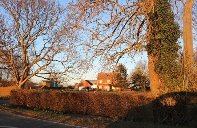
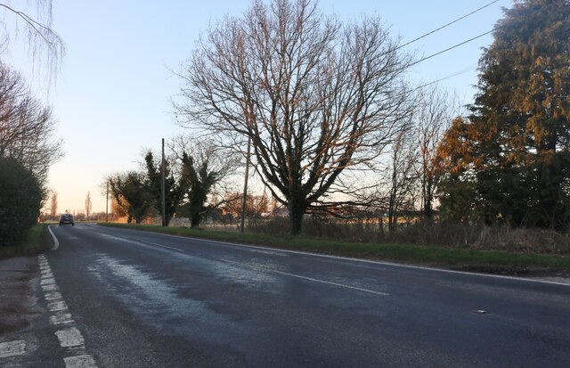
The Downs area of South District is characterized by its rolling hills and natural beauty. It is home to a variety of flora and fauna, making it a popular destination for nature enthusiasts and hikers. The Downs also offers stunning views of the surrounding countryside, providing a tranquil escape from the hustle and bustle of city life.

Moorland, another part of South District, is an area known for its expansive moors and heathlands. This unique landscape is dotted with gorse bushes, wildflowers, and open spaces, creating a captivating environment for outdoor activities such as walking, cycling, and birdwatching. The moorland is also home to a diverse range of wildlife, including rare species of birds, insects, and reptiles.

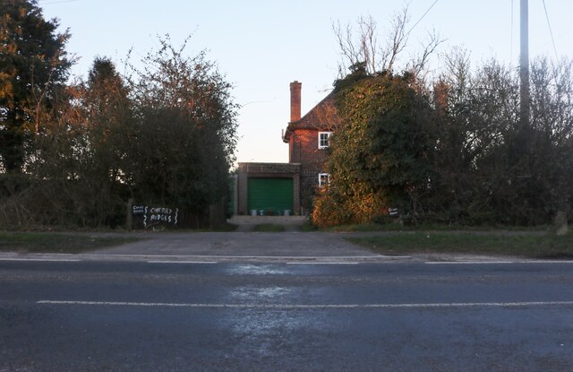
In addition to its natural beauty, South District has a rich history and cultural heritage. The area boasts several historic buildings, including churches, manor houses, and farmsteads, which provide a glimpse into the region's past. The district also hosts various cultural events and festivals throughout the year, showcasing local traditions and talents.

The community in South District is known for its strong sense of camaraderie and neighborly spirit. Residents actively participate in community initiatives and events, fostering a welcoming and inclusive atmosphere. The district is also home to a range of amenities, including schools, shops, and recreational facilities, ensuring that residents have access to all the necessary conveniences.

Overall, South District, Norfolk (Downs, Moorland) is a charming and picturesque neighborhood that offers a perfect blend of natural beauty, cultural heritage, and community spirit.

If you have any feedback on the listing, please let us know in the comments section below.

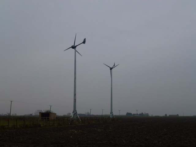
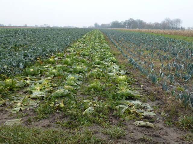
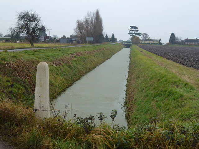
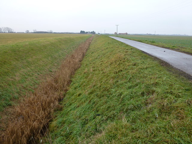
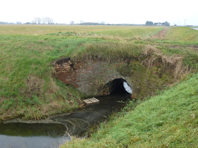
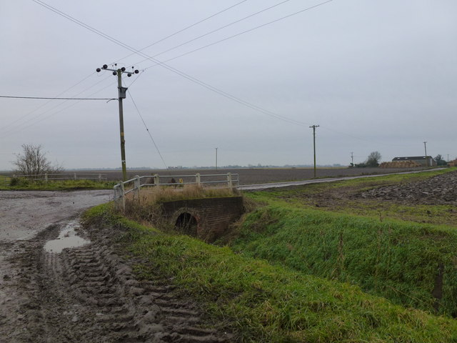
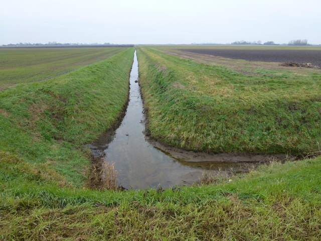
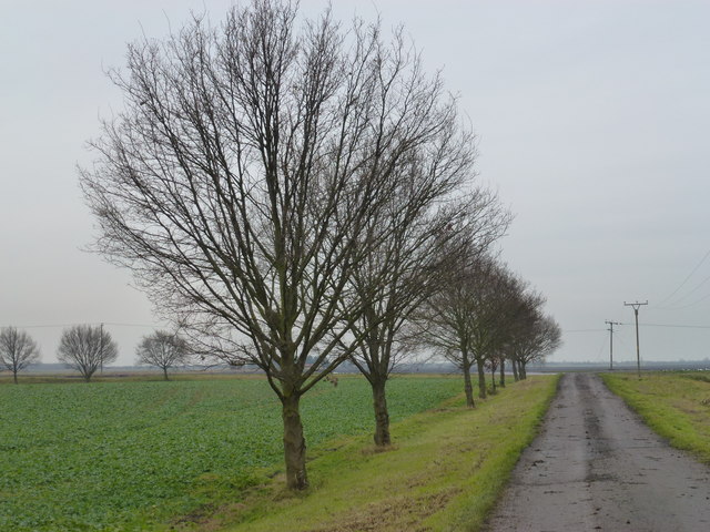
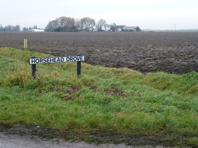
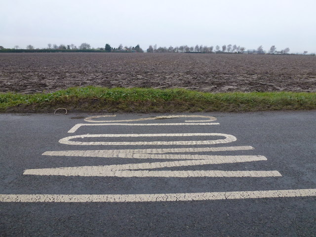
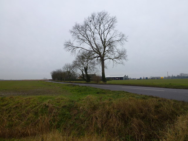
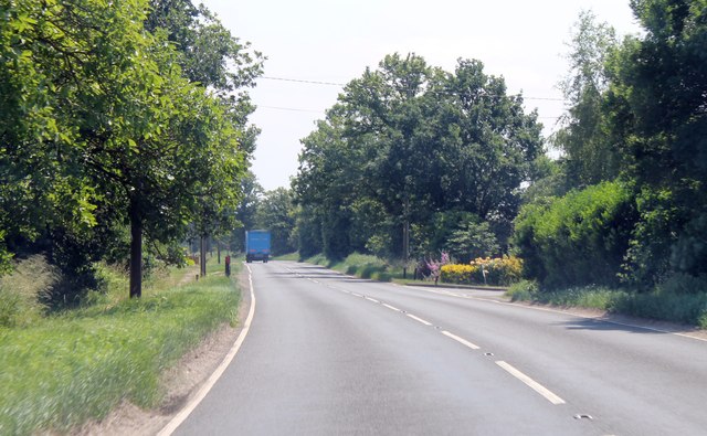
South District Images

Images are sourced within 2km of 52.563887/0.23092492 or Grid Reference TL5198. Thanks to Geograph Open Source API. All images are credited.

House by Wisbech Road, Lakes End
Main Road, Three Holes I can't say I came across any of the holes, but as I was on the road that was probably a good thing.
Main Road, Three Holes
I can't say I came across any of the holes, but as I was on the road that was probably a good thing.
Main Road, Three Holes
Old railway wagon near Three Holes With the closure of the railways hundreds of these covered goods wagons found a new use as sheds
Old railway wagon near Three Holes
With the closure of the railways hundreds of these covered goods wagons found a new use as sheds
Small wind turbines near Mudd's Farm, Three Holes
Cabbages and onions Crops on Mudd's Drove near Three Holes
Cabbages and onions
Crops on Mudd's Drove near Three Holes
Drain next to Squire's Drove Near the village of Three Holes
Drain next to Squire's Drove
Near the village of Three Holes
Flint House Road and drain To the east of Lot's Bridge near Three Holes
Flint House Road and drain
To the east of Lot's Bridge near Three Holes
Old brick bridge over a polluted dike At the junction of Silt Road and Flint House Road near Three Holes
Old brick bridge over a polluted dike
At the junction of Silt Road and Flint House Road near Three Holes
Totally churned up road in The Fens Numerous small lanes and roads in Cambridgeshire and Lincolnshire are being wrecked by farm machinery and articulated lorries which appear to get bigger and heavier every year. They are now basically too large for the road infrastructure which was never designed to carry such tonnages. Conditions are particularly bad during the potato and sugar beet harvest at this time of year. 
This is the crossroads where Flint House Road and Cock Fen Road meet Horsehead Drove between Three Holes and Welney
Totally churned up road in The Fens
Numerous small lanes and roads in Cambridgeshire and Lincolnshire are being wrecked by farm machinery and articulated lorries which appear to get bigger and heavier every year. They are now basically too large for the road infrastructure which was never designed to carry such tonnages. Conditions are particularly bad during the potato and sugar beet harvest at this time of year. This is the crossroads where Flint House Road and Cock Fen Road meet Horsehead Drove between Three Holes and Welney
Horse Head Drain near Lakes End Looking south west from Cock Fen Road
Horse Head Drain near Lakes End
Looking south west from Cock Fen Road
Row of trees on Cock Fen Road North east of Lakes End near Welney
Row of trees on Cock Fen Road
North east of Lakes End near Welney
Horsehead Drove, Lakes End Looking towards Poplar Farm
Horsehead Drove, Lakes End
Looking towards Poplar Farm
SLOW or MO7S ? A view over farmland from Halfpenny Toll Road between Christchurch and Lot's Bridge
SLOW or MO7S ?
A view over farmland from Halfpenny Toll Road between Christchurch and Lot's Bridge
Near Beechwood Farm on Halfpenny Toll Road North east of Christchurch
Near Beechwood Farm on Halfpenny Toll Road
North east of Christchurch
Entering Lakes end on A1101
A1101 leaving Three Holes Junction to Ralingham Hall on the right.
A1101 leaving Three Holes
Junction to Ralingham Hall on the right.
A1101 approaching B1094 junction
Show me another place!

South District is located at Grid Ref: TL5198 (Lat: 52.563887, Lng: 0.23092492)

Administrative County: Norfolk

District: King's Lynn and West Norfolk

Police Authority: Norfolk

What 3 Words

///spine.guarding.outlawing. Near Upwell, Norfolk

Related Wikis

Three Holes

Three Holes is a hamlet near Upwell in Norfolk, England. Located on the border of Norfolk and Cambridgeshire, the two sides of the river are in separate...

Christchurch, Cambridgeshire

Christchurch is a village in the Fenland district of Cambridgeshire, England. The population (including Tipp's End) of the civil parish at the 2011 Census...

Marmont Priory

Marmont Priory (also Welles or Mirmaud) was a priory for Gilbertine Canons in Cambridgeshire, England. It was established by landowner Ralph de Hauvill...

Upwell

Upwell is a village and civil parish in the English county of Norfolk. Upwell village is on the A1101 road, as is Outwell, its conjoined village at the...

Nearby Amenities

Located within 500m of 52.563887,0.23092492
Bus Stop
Post Box, opp
Bus: yes
Naptan AtcoCode: 2900U0210
Naptan Bearing: S
Naptan CommonName: Post Box
Naptan Indicator: opp
Naptan Landmark: Post Box
Naptan Locality: Lotts Bridge
Naptan NaptanCode: nfogawgt
Naptan Street: A1101
Naptan Verified: no
Public Transport: platform
Source: naptan_import
Lat/Long: 52.5655409/0.2290218
Bus Stop
Silt Road, opp
Bus: yes
Naptan AtcoCode: 2900U0212
Naptan Bearing: NE
Naptan BusStopType: CUS
Naptan CommonName: Silt Road
Naptan Indicator: opp
Naptan Landmark: he Bungalow
Naptan Locality: Lotts Bridge
Naptan NaptanCode: nfogawja
Naptan Street: A1101
Naptan Verified: no
Public Transport: platform
Source: naptan_import
Lat/Long: 52.5638413/0.2285519
Bus Stop
Silt Road, adj
Bus: yes
Naptan AtcoCode: 2900U0213
Naptan Bearing: SW
Naptan BusStopType: CUS
Naptan CommonName: Silt Road
Naptan Indicator: adj
Naptan Landmark: Eva House
Naptan Locality: Lotts Bridge
Naptan NaptanCode: nfogawjd
Naptan Street: A1101
Naptan Verified: no
Public Transport: platform
Source: naptan_import
Lat/Long: 52.5639267/0.2287924
Bus Stop
PO Box, adj
Bus: yes
Naptan AtcoCode: 2900U024
Naptan Bearing: N
Naptan CommonName: PO Box
Naptan Indicator: adj
Naptan Landmark: Rheims House
Naptan Locality: Lotts Bridge
Naptan NaptanCode: nfogawmt
Naptan Street: A1101
Naptan Verified: no
Public Transport: platform
Source: naptan_import
Lat/Long: 52.5652018/0.2288865
Place: farm
Lat/Long: 52.5619748/0.2290296
Lot's Bridge
Place: hamlet
Lat/Long: 52.5634263/0.2293805
The data included in this document is from www.openstreetmap.org. The data is made available under ODbL.

Have you been to South District?

Leave your review of South District below (or comments, questions and feedback).