Clamp Field
Downs, Moorland in Norfolk King's Lynn and West Norfolk
England
Clamp Field
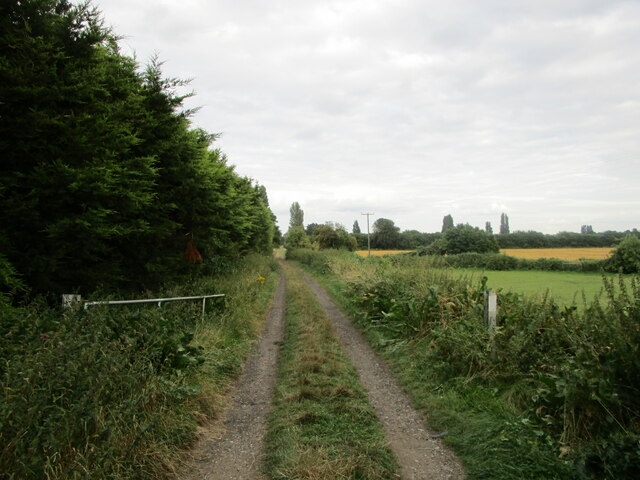
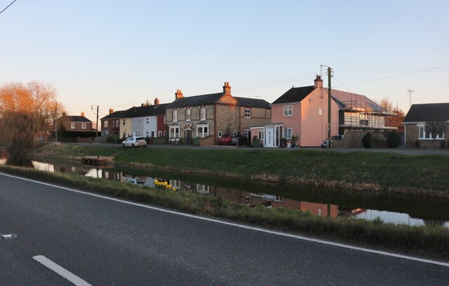
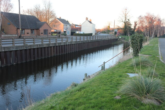
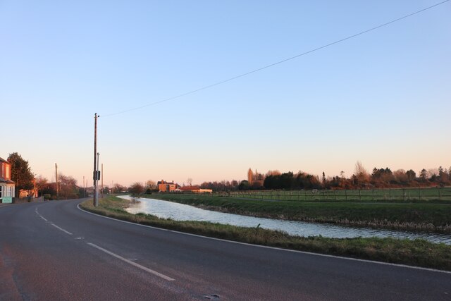
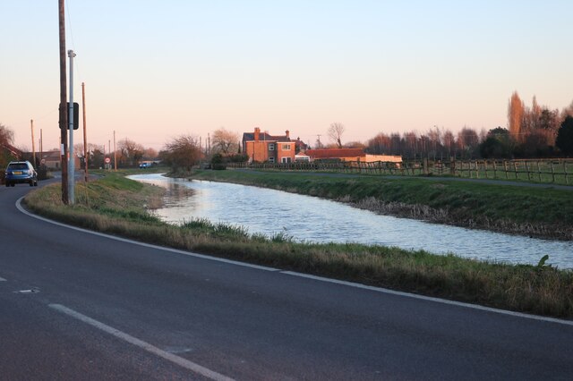
Clamp Field, located in Norfolk, England, is a picturesque area encompassing the Downs and Moorland regions. Spanning over a vast expanse, this beautiful landscape is characterized by its rolling hills, open meadows, and breathtaking views. The area is known for its diverse flora and fauna, making it a haven for nature enthusiasts and wildlife lovers.
The Downs section of Clamp Field offers a unique experience for visitors, with its undulating terrain and sweeping panoramic vistas. It is a popular spot for walking, hiking, and birdwatching, as it is home to a variety of bird species such as skylarks, kestrels, and pheasants. The peaceful atmosphere and the tranquility of the surroundings make it an ideal place for those seeking solace in nature.
On the other hand, the Moorland area of Clamp Field showcases a different landscape. It is characterized by its heather-covered terrain, scattered with gorse bushes and small ponds. Moorland wildlife, including deer, rabbits, and foxes, can often be spotted in this part of the field. The Moorland section also offers opportunities for hiking and exploring, with several well-marked trails and paths.
Clamp Field, Norfolk (Downs, Moorland) is a place of natural beauty and tranquility, where visitors can immerse themselves in the serenity of the countryside. Whether it's enjoying a leisurely walk, observing the local wildlife, or simply taking in the breathtaking views, this area provides a welcome escape from the hustle and bustle of everyday life.
If you have any feedback on the listing, please let us know in the comments section below.
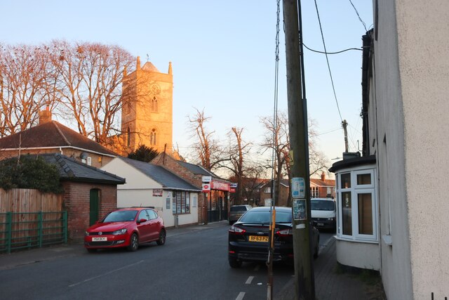
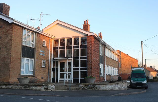
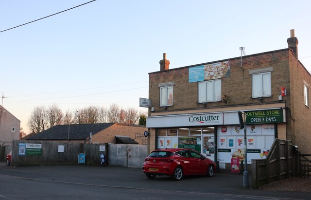
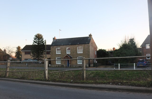
Clamp Field Images
Images are sourced within 2km of 52.622336/0.22786846 or Grid Reference TF5005. Thanks to Geograph Open Source API. All images are credited.


Clamp Field is located at Grid Ref: TF5005 (Lat: 52.622336, Lng: 0.22786846)
Administrative County: Norfolk
District: King's Lynn and West Norfolk
Police Authority: Norfolk
What 3 Words
///trappings.prank.seaweed. Near Outwell, Norfolk
Nearby Locations
Related Wikis

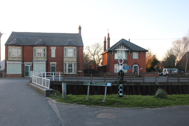
Outwell Basin railway station
Outwell Basin railway station was a stop on the Wisbech and Upwell Tramway in Outwell, Norfolk. It opened in 1883 carrying passenger and goods traffic...

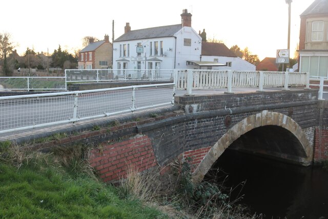
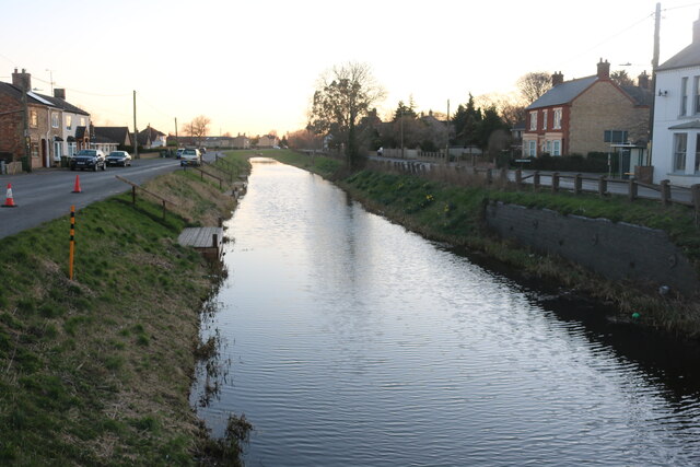
Outwell
Outwell is a village and civil parish in the borough of King's Lynn and West Norfolk, in the English county of Norfolk.At the 2011 Census, the parish had...

Beaupré Hall
Beaupré Hall was a large 16th-century house mainly of brick, which was built by the Beaupres in Outwell, Norfolk, England and enlarged by their successors...
Outwell Village railway station
Outwell Village railway station was a station in Outwell, Norfolk on the Wisbech and Upwell Tramway. It opened in 1884 and closed to passengers in 1928...
Boyces Bridge railway station
Boyces Bridge railway station was a station in Norfolk on the Wisbech and Upwell Tramway commonly known as the Upwell Tramway. It was located north of...
Upwell railway station
Upwell railway station was a station in Upwell, Norfolk on the Wisbech and Upwell Tramway. It was opened in 1883 to carry passengers and agricultural wares...

Emneth
Emneth is a village and civil parish in the English county of Norfolk. The village is located 2.9 miles (4.7 km) south-east of Wisbech, 12 miles (19 km...
Emneth Hungate
Emneth Hungate is a small settlement near the village of Emneth in Norfolk, England, near the border with Cambridgeshire. It once had its own Emneth railway...
Nearby Amenities
Located within 500m of 52.622336,0.22786846Have you been to Clamp Field?
Leave your review of Clamp Field below (or comments, questions and feedback).