Holly Croft Field

Downs, Moorland in Norfolk King's Lynn and West Norfolk

England

Holly Croft Field

The course of the former Wisbech and Upwell Tramway This section of the tramway opened in 1884 and closed to passengers in 1927 and to freight in 1966.
The course of the former Wisbech and Upwell Tramway Credit: Jonathan Thacker

Holly Croft Field is a picturesque natural reserve located in Norfolk, England. Situated in the vicinity of Norfolk Downs and Moorland, the field is a haven for nature enthusiasts and wildlife lovers. Spanning approximately 50 acres, it offers a diverse range of habitats, including meadows, woodlands, and ponds, making it an ideal spot for observing a wide array of plant and animal species.

The meadows of Holly Croft Field are adorned with vibrant wildflowers during the spring and summer months, creating a colorful tapestry that attracts numerous butterflies and bees. The surrounding woodlands offer a tranquil setting for leisurely walks, with towering trees providing shade and a habitat for various bird species, including woodpeckers and owls.

The field also boasts several small ponds that serve as a watering hole for local wildlife, such as frogs, newts, and dragonflies. These ponds are particularly appealing to birdwatchers, as they often attract water-loving birds like ducks and herons.

Holly Croft Field is a designated Site of Special Scientific Interest (SSSI) due to its rich biodiversity and the presence of rare and protected species. Conservation efforts in the area have helped to maintain and enhance the natural surroundings, ensuring that the field remains a sanctuary for both wildlife and visitors.

Visitors to Holly Croft Field can enjoy the peaceful atmosphere and experience the wonders of nature through walks, picnics, or simply observing the local flora and fauna. The field is a hidden gem in Norfolk and a must-visit destination for anyone seeking a tranquil escape in the heart of nature.

If you have any feedback on the listing, please let us know in the comments section below.

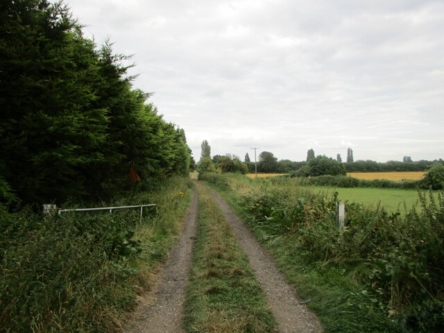
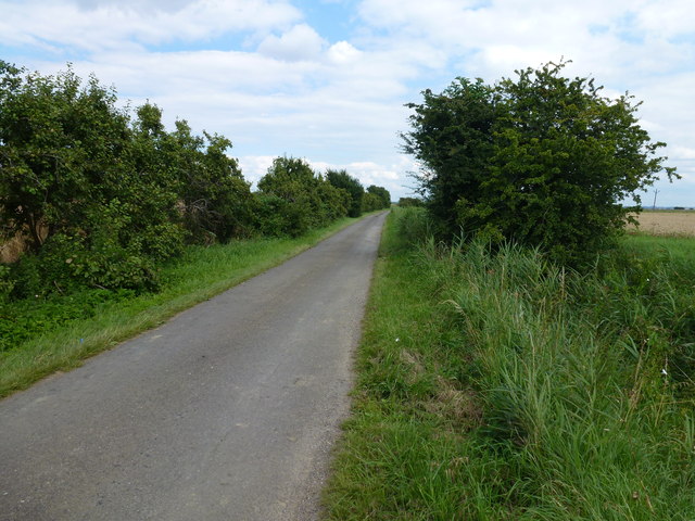
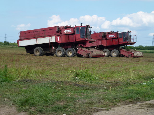
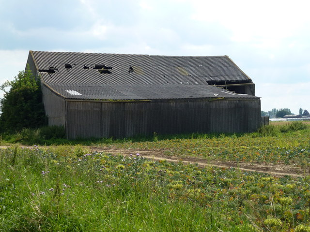
Holly Croft Field Images

Images are sourced within 2km of 52.630202/0.21641665 or Grid Reference TF5005. Thanks to Geograph Open Source API. All images are credited.

The course of the former Wisbech and Upwell Tramway This section of the tramway opened in 1884 and closed to passengers in 1927 and to freight in 1966.
The course of the former Wisbech and Upwell Tramway
This section of the tramway opened in 1884 and closed to passengers in 1927 and to freight in 1966.
Outwell: Basin Road
Outwell: Basin Road
Outwell: Bramble Lane
On the edge of Edge Bank, Emneth Hungate This is one of several roads in the area which form a large semi-circle on OS maps. With names such as Edge Bank, Marshland St James and Old Podike Bank they most probably were the edge of Marshland Fen before it was drained a few centuries ago.
On the edge of Edge Bank, Emneth Hungate
This is one of several roads in the area which form a large semi-circle on OS maps. With names such as Edge Bank, Marshland St James and Old Podike Bank they most probably were the edge of Marshland Fen before it was drained a few centuries ago.
Spraying a wheatfield on Edge Bank In Great Fendike Field south of Emneth Hungate, Norfolk
Spraying a wheatfield on Edge Bank
In Great Fendike Field south of Emneth Hungate, Norfolk
Sugar beet, Hall Dike, Outwell It should be a bumper crop due to high summer rainfall
Sugar beet, Hall Dike, Outwell
It should be a bumper crop due to high summer rainfall
Truncated silver birch trees, Outwell Basin Also see <a title="https://www.geograph.org.uk/photo/71523" href="https://www.geograph.org.uk/photo/71523">Link</a>
Truncated silver birch trees, Outwell Basin
Also see Link
Fendike Road, Holly End, Emneth A quiet country lane which passes between Little Fendike Field and Great Fendike Field
Fendike Road, Holly End, Emneth
A quiet country lane which passes between Little Fendike Field and Great Fendike Field
Mobile pea viners near Emneth Hungate Just finished vining on Great Fendike Field
Mobile pea viners near Emneth Hungate
Just finished vining on Great Fendike Field
Large shed on Fendike Road near Outwell
The former route of the Wisbech and Upwell tramway Looking south east from Basin Road
The former route of the Wisbech and Upwell tramway
Looking south east from Basin Road
Beaupre Hall Farm, Outwell On Wisbech Road, this farm once fronted the canal
Beaupre Hall Farm, Outwell
On Wisbech Road, this farm once fronted the canal
Dike full of reeds off Edge bank, Outwell
A1101 junction with bramble lane
A1101 approaching roundabout Junction of Well Road.
A1101 approaching roundabout
Junction of Well Road.
A1101 Isle road 14 miles to Littleport.
A1101 Isle road
14 miles to Littleport.
Wisbech Road nearing A1101 junction
A1101 northbound at Bramble Lane junction
Show me another place!

Holly Croft Field is located at Grid Ref: TF5005 (Lat: 52.630202, Lng: 0.21641665)

Administrative County: Norfolk

District: King's Lynn and West Norfolk

Police Authority: Norfolk

What 3 Words

///cascade.teaspoons.cassettes. Near Emneth, Norfolk

Related Wikis

Boyces Bridge railway station

Boyces Bridge railway station was a station in Norfolk on the Wisbech and Upwell Tramway commonly known as the Upwell Tramway. It was located north of...

Outwell Basin railway station

Outwell Basin railway station was a stop on the Wisbech and Upwell Tramway in Outwell, Norfolk. It opened in 1883 carrying passenger and goods traffic...

Emneth

Emneth is a village and civil parish in the English county of Norfolk. The village is located 2.9 miles (4.7 km) south-east of Wisbech, 12 miles (19 km...

Outwell

Outwell is a village and civil parish in the borough of King's Lynn and West Norfolk, in the English county of Norfolk.At the 2011 Census, the parish had...

Collett's Bridge

Collett's Bridge is a hamlet within the parish of Elm in the Isle of Ely, Cambridgeshire, England. It is situated on the eastern boundary of the district...

Beaupré Hall

Beaupré Hall was a large 16th-century house mainly of brick, which was built by the Beaupres in Outwell, Norfolk, England and enlarged by their successors...

Emneth Hungate

Emneth Hungate is a small settlement near the village of Emneth in Norfolk, England, near the border with Cambridgeshire. It once had its own Emneth railway...

Elm, Cambridgeshire

Elm is a village and civil parish in the Fenland District of Cambridgeshire, England. In Domesday, it is called Helle.The village is about 11⁄2 miles or...

Nearby Amenities

Located within 500m of 52.630202,0.21641665
Bus Stop
Hollycroft Road, adj
Naptan AtcoCode: 2900E092
Naptan Bearing: S
Naptan BusStopType: CUS
Naptan CommonName: Hollycroft Road
Naptan Indicator: adj
Naptan Locality: Emneth
Naptan NaptanCode: nfoapdpa
Naptan Street: Outwell Road
Naptan Verified: no
Source: naptan_import
Lat/Long: 52.6289014/0.2100902
Bus Stop
Hollycroft Road, opp
Naptan AtcoCode: 2900E099
Naptan Bearing: N
Naptan BusStopType: CUS
Naptan CommonName: Hollycroft Road
Naptan Indicator: opp
Naptan Landmark: opp Post Box
Naptan Locality: Emneth
Naptan NaptanCode: nfoapdtj
Naptan Street: Outwell Road
Naptan Verified: no
Source: naptan_import
Lat/Long: 52.6288592/0.2099403
Post Box
Lat/Long: 52.628697/0.2104092
Boyces Bridge
Historic Railway: station
Railway: site
Wikidata: Q4952264
Wikipedia: en:Boyces Bridge railway station
Lat/Long: 52.6295691/0.2091499
The data included in this document is from www.openstreetmap.org. The data is made available under ODbL.

Have you been to Holly Croft Field?

Leave your review of Holly Croft Field below (or comments, questions and feedback).