Latchmore Common

Downs, Moorland in Essex Uttlesford

England

Latchmore Common

Lee and Stort Navigation: Lock no 3 - Spellbrook Lock A lock situated in what appears to be a remote stretch of the route, though a look at the map reveals that the hamlet of Spellbrook is just the other side of the railway line to the west while the landmark of Wallbury (an iron-age behemoth) is alongside to the east, though it is not seen from the canal.
Lee and Stort Navigation: Lock no 3 - Spellbrook Lock Credit: Peter S

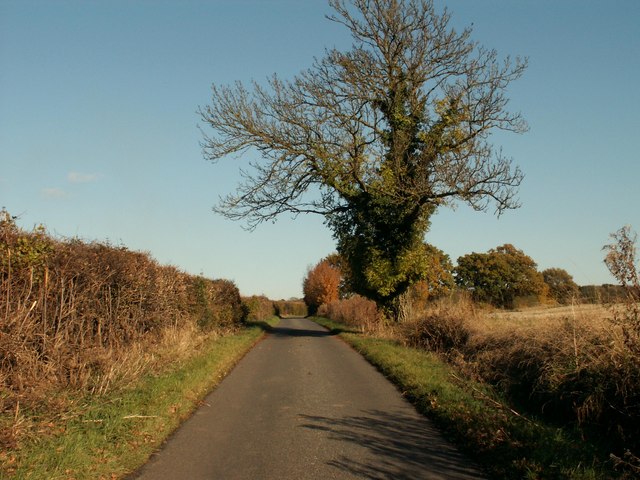
Latchmore Common is a stunning natural reserve located in Essex, England. Spread over an area of approximately 400 acres, the common is a mosaic of heathland, grassland, and wetland habitats, making it a diverse and ecologically significant area. It is situated in the heart of the Epping Forest District, just south of the village of Epping.

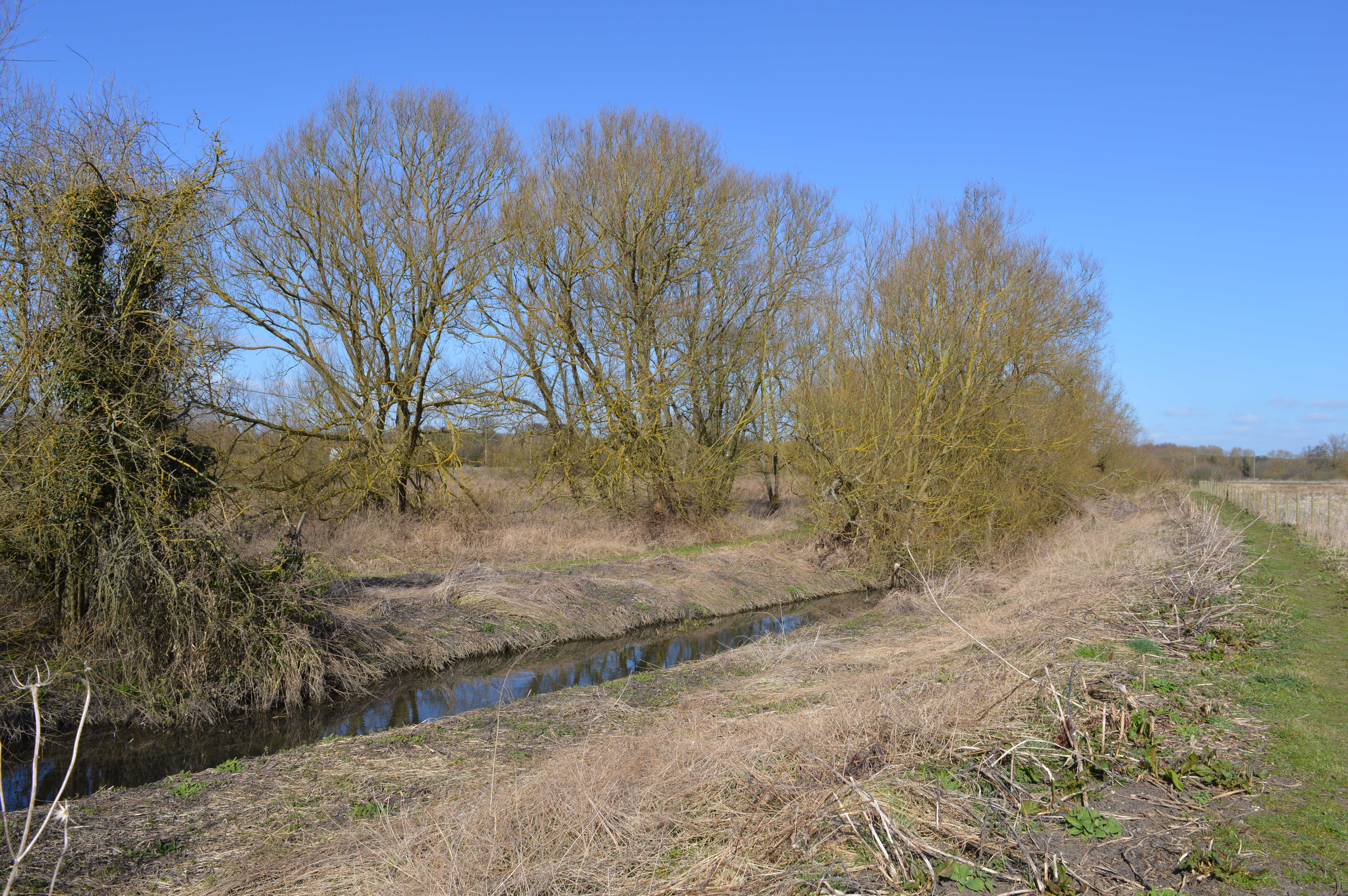
The common is characterized by its undulating landscape, featuring heather-covered slopes, open expanses of grass, and scattered patches of woodland. It is home to an array of plant species, including heather, gorse, bracken, and various types of grasses. The wetland areas are adorned with vibrant vegetation, including rushes, sedges, and water lilies. This rich diversity of flora attracts a wide variety of insects, butterflies, and birds.

The common is also known for its diverse wildlife population. Visitors may encounter various species of reptiles, such as adders and grass snakes, as well as small mammals like rabbits and voles. Birdwatchers will be delighted to spot species such as skylarks, meadow pipits, and stonechats. Additionally, the common supports a population of rare heathland birds, including nightjars and woodlarks.

The site is open to the public and offers several walking trails, allowing visitors to explore the stunning natural surroundings. The common is managed by the Essex Wildlife Trust, which actively works to conserve and enhance the area's biodiversity. Latchmore Common is not only a picturesque countryside retreat but also a vital habitat for a wide range of plant and animal species, making it an essential part of the natural heritage of Essex.

If you have any feedback on the listing, please let us know in the comments section below.

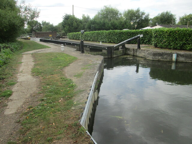
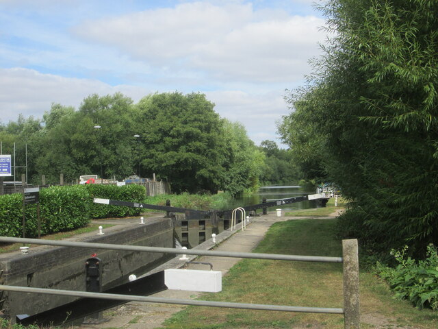
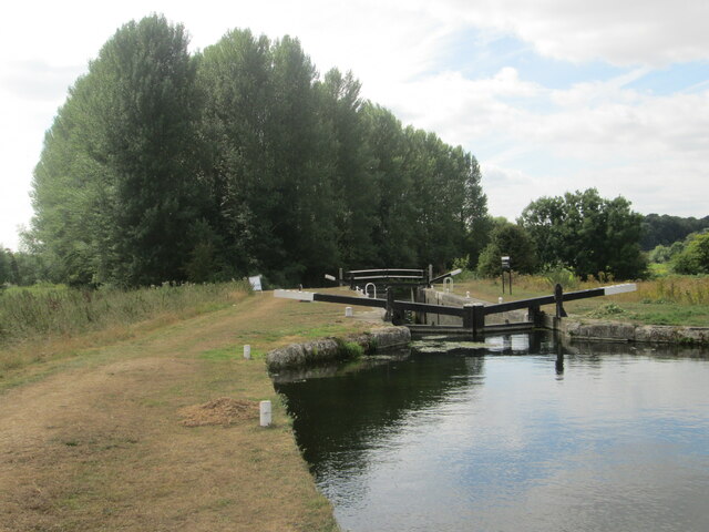
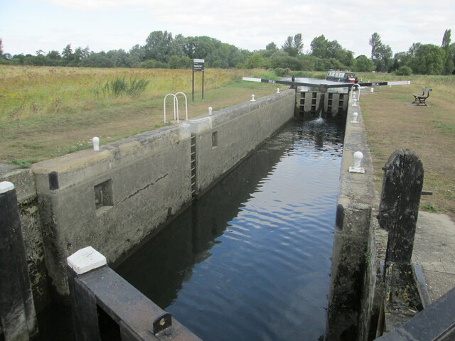
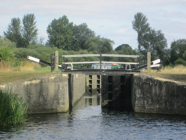
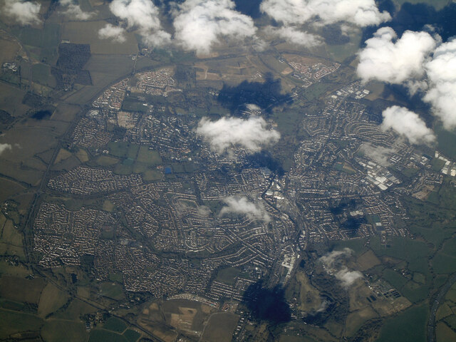
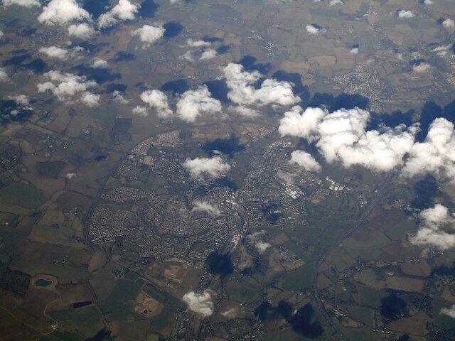
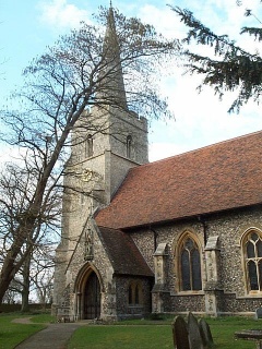
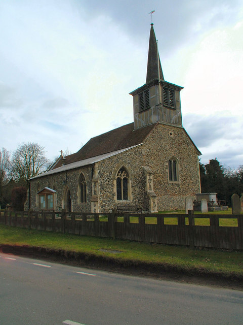
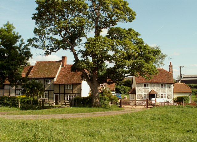
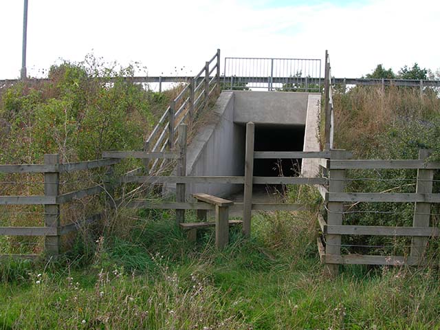
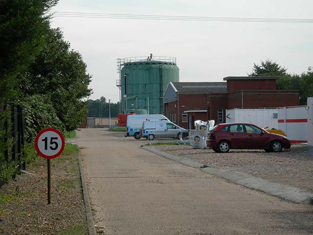
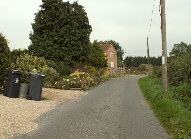
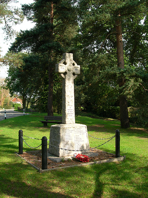
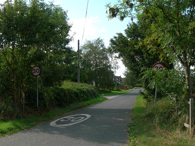
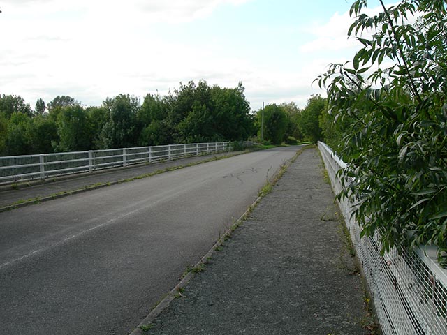
Latchmore Common Images

Images are sourced within 2km of 51.843672/0.17642015 or Grid Reference TL5018. Thanks to Geograph Open Source API. All images are credited.

Lee and Stort Navigation: Lock no 3 - Spellbrook Lock A lock situated in what appears to be a remote stretch of the route, though a look at the map reveals that the hamlet of Spellbrook is just the other side of the railway line to the west while the landmark of Wallbury (an iron-age behemoth) is alongside to the east, though it is not seen from the canal.
Lee and Stort Navigation: Lock no 3 - Spellbrook Lock
A lock situated in what appears to be a remote stretch of the route, though a look at the map reveals that the hamlet of Spellbrook is just the other side of the railway line to the west while the landmark of Wallbury (an iron-age behemoth) is alongside to the east, though it is not seen from the canal.
Lee and Stort Navigation: Lock no 3 - Spellbrook Lock - view north
Approaching Tednambury Lock
Lee and Stort Navigation: Lock no 4 Tednambury Lock After a significant bend in the canal, and the path accordingly, to the left and a dividing of the waterways, the route continues to the right due south to reveal this lock. The lock apparently takes its name from nearby Tednambury Farm.
Lee and Stort Navigation: Lock no 4 Tednambury Lock
After a significant bend in the canal, and the path accordingly, to the left and a dividing of the waterways, the route continues to the right due south to reveal this lock. The lock apparently takes its name from nearby Tednambury Farm.
Lee and Stort Navigation: Lock no 4 Tednambury Lock - from the south
Bishop's Stortford from the air Most of the town can be seen in this view from a Birmingham bound flight from Prague.
Bishop's Stortford from the air
Most of the town can be seen in this view from a Birmingham bound flight from Prague.
Bishop's Stortford from the air Looking over Thorley Street to the town from a Birmingham bound flight from Prague.
Bishop's Stortford from the air
Looking over Thorley Street to the town from a Birmingham bound flight from Prague.
St. Giles, Great Hallingbury
St. Mary's Church, Little Hallingbury
Cottages at Woodside Green, Essex Woodside Green is a lovely place, at the southern end of Hatfield Forest near Little Hallingbury.  There is a large green area here where cows roam freely.
Cottages at Woodside Green, Essex
Woodside Green is a lovely place, at the southern end of Hatfield Forest near Little Hallingbury. There is a large green area here where cows roam freely.
Stile and tunnel under M11 The public footpath to Great Hallingbury crosses the M11 by means of this tunnel
Stile and tunnel under M11
The public footpath to Great Hallingbury crosses the M11 by means of this tunnel
Bishop's Stortford sewage works The entrance to the Thames Water sewage works is located in Jenkins Lane just off the A1060
Bishop's Stortford sewage works
The entrance to the Thames Water sewage works is located in Jenkins Lane just off the A1060
New Barn Lane, Little Hallingbury, Essex This is by Normandale Kennels.
New Barn Lane, Little Hallingbury, Essex
This is by Normandale Kennels.
War Memorial The memorial in the grounds of St Mary's Church, Little Hallingbury commemorates the fallen of World War I.
War Memorial
The memorial in the grounds of St Mary's Church, Little Hallingbury commemorates the fallen of World War I.
Wrights Green village The entrance to the village on Goose Lane, 50 metres from the bridge over the M11 motorway.
Wrights Green village
The entrance to the village on Goose Lane, 50 metres from the bridge over the M11 motorway.
Goose Lane bridge Goose Lane, Wrights Green, crosses the M11 via this bridge, only 50 metres from the entrance to the village.
Goose Lane bridge
Goose Lane, Wrights Green, crosses the M11 via this bridge, only 50 metres from the entrance to the village.
Part of Goose Lane, on the way to Woodside Green
A farmhouse at Woodside Green Woodside Green often has a lot of cattle around and they are often seen close to people's homes.
A farmhouse at Woodside Green
Woodside Green often has a lot of cattle around and they are often seen close to people's homes.
Show me another place!

Latchmore Common is located at Grid Ref: TL5018 (Lat: 51.843672, Lng: 0.17642015)

Administrative County: Essex

District: Uttlesford

Police Authority: Essex

What 3 Words

///miss.digit.kings. Near Little Hallingbury, Essex

Related Wikis

Little Hallingbury

Little Hallingbury is a small village and a civil parish in the Uttlesford district of Essex, England. == Geography == Little Hallingbury parish is on...

Thorley Wash nature reserve

Thorley Wash or Thorley Flood Pound is a 17.3-hectare biological Site of Special Scientific Interest in Thorley, south of Bishop's Stortford in Hertfordshire...

Great Hallingbury

Great Hallingbury is a village and a civil parish in the Uttlesford District of Essex, England. The population of the civil parish at the 2011 census was...

Rushy Mead

Rushy Mead is a 4.6-hectare (11-acre) nature reserve on the bank of the River Stort in Essex, between Sawbridgeworth and Bishop's Stortford. Until the...

Little Hallingbury Marsh

Little Hallingbury Marsh is a 4.5-hectare (11-acre) biological Site of Special Scientific Interest adjacent to the River Stort, west of Little Hallingbury...

Spelbrook railway station

Spelbrook railway station, also known as Spellbrook railway station, Spelbroke railway station and Spillbrook railway station served the hamlet of Spellbrook...

Spellbrook

Spellbrook is a hamlet in Hertfordshire, situated between Bishop's Stortford and Sawbridgeworth. == Location == Spellbrook is one mile south of Bishop...

The Bishop's Stortford High School

The Bishop's Stortford High School (often abbreviated to TBSHS) is a comprehensive secondary school, with a coeducational sixth form, in Bishop's Stortford...

Nearby Amenities

Located within 500m of 51.843672,0.17642015
Bus Stop
New Barn Lane
Bus: yes
Naptan AtcoCode: 150020011029
Naptan Bearing: SE
Naptan CommonName: New Barn Lane
Naptan Crossing: New Barn Lane
Naptan Indicator: Adj
Naptan Landmark: New Barn Lane
Naptan NaptanCode: esxdgmag
Naptan PlusbusZoneRef: BSHPSFD
Naptan Street: Lower Road
Naptan Verified: no
Public Transport: platform
Shelter: no
Source: naptan_import
Lat/Long: 51.8410032/0.1737362
Bus Stop
New Barn Lane
Bus: yes
Naptan AtcoCode: 150020011030
Naptan Bearing: N
Naptan CommonName: New Barn Lane
Naptan Crossing: Dell Lane
Naptan Indicator: Opp
Naptan Landmark: New Barn Lane
Naptan NaptanCode: esxdgmad
Naptan PlusbusZoneRef: BSHPSFD
Naptan Street: Latchmore Bank
Naptan Verified: no
Public Transport: platform
Source: naptan_import
Lat/Long: 51.8420384/0.1731908
Bus Stop
Latchmore Bank
Bus: yes
Naptan AtcoCode: 150020011031
Naptan Bearing: N
Naptan CommonName: Latchmore Bank
Naptan Crossing: Church Road
Naptan Indicator: N-bound
Naptan Landmark: Latchmore Bank
Naptan NaptanCode: esxdgjwt
Naptan PlusbusZoneRef: BSHPSFD
Naptan Street: Latchmore Bank
Naptan Verified: no
Public Transport: platform
Shelter: no
Source: naptan_import
Lat/Long: 51.8454037/0.1735707
Bus Stop
Latchmore Bank
Bus: yes
Naptan AtcoCode: 150020011032
Naptan Bearing: S
Naptan CommonName: Latchmore Bank
Naptan Crossing: Church Road
Naptan Indicator: S-bound
Naptan Landmark: Latchmore Bank
Naptan NaptanCode: esxdgjwp
Naptan PlusbusZoneRef: BSHPSFD
Naptan Street: Latchmore Bank
Naptan Verified: no
Public Transport: platform
Shelter: no
Source: naptan_import
Lat/Long: 51.8459588/0.1736991
Latchmead B&B
Tourism: guest_house
Lat/Long: 51.8457988/0.170339
Latchmore Common
Place: locality
Lat/Long: 51.8439824/0.1764134
The data included in this document is from www.openstreetmap.org. The data is made available under ODbL.

Have you been to Latchmore Common?

Leave your review of Latchmore Common below (or comments, questions and feedback).