North Field
Downs, Moorland in Norfolk King's Lynn and West Norfolk
England
North Field
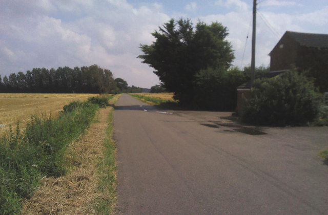
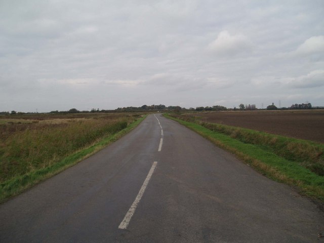
North Field, Norfolk, also known as Downs and Moorland, is a picturesque area located in the eastern region of England. With its stunning landscapes, rich history, and diverse wildlife, it has become a popular destination for nature enthusiasts and history buffs alike.
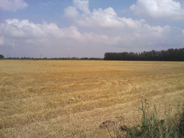
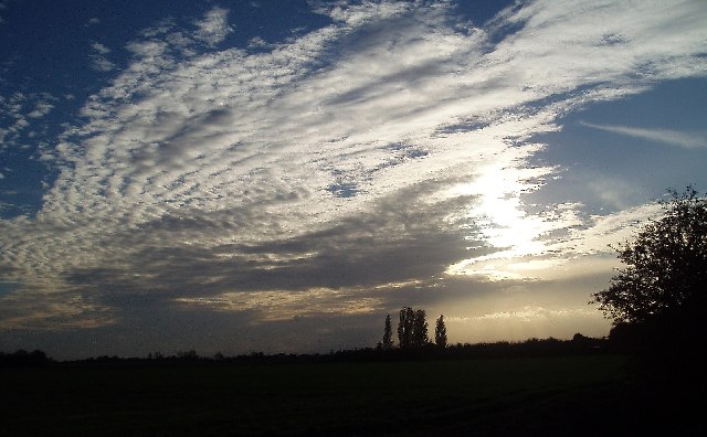
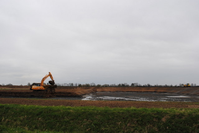
Situated in the county of Norfolk, North Field is characterized by its gently rolling hills, open meadows, and heathland. It is bounded by the North Sea to the east, providing visitors with breathtaking coastal views and access to pristine sandy beaches.
The area holds significant historical importance, with evidence of human settlement dating back to the Neolithic period. Archaeological finds include tools, burial mounds, and ancient earthworks, showcasing the long-standing presence of human activity in the region.
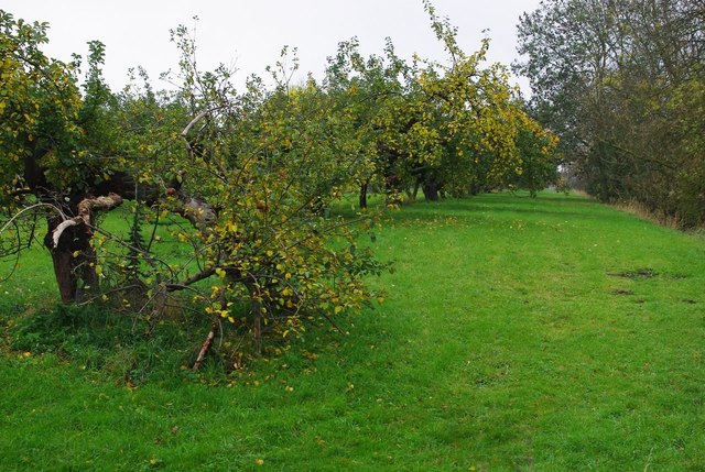
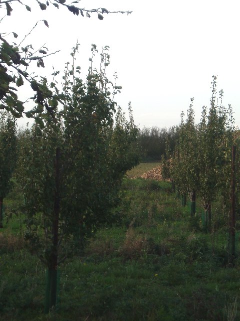
North Field is also home to a diverse range of flora and fauna. The heathlands support a variety of plant species, including heather, gorse, and bilberry, while the wetlands and marshes attract numerous bird species, such as avocets and marsh harriers. The area is also known for its population of rare and protected species, including the Norfolk hawker dragonfly and the natterjack toad.
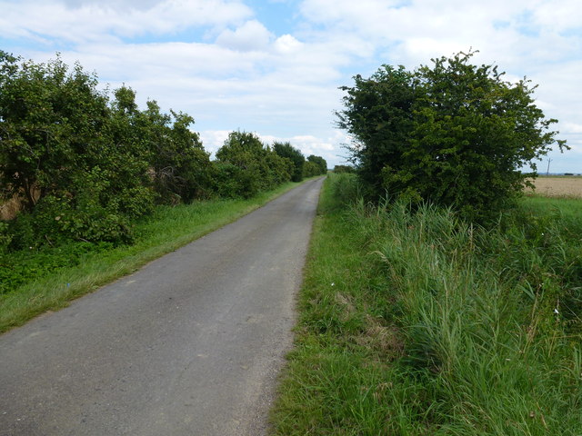
For outdoor enthusiasts, North Field offers ample opportunities for walking, cycling, and horseback riding, with numerous trails and paths crisscrossing the area. The stunning coastal cliffs and dunes provide a perfect backdrop for birdwatching, while the nearby villages offer charming accommodations and local pubs serving traditional Norfolk cuisine.
In conclusion, North Field, Norfolk, with its stunning landscapes, rich history, and diverse wildlife, is a must-visit destination for those seeking a peaceful retreat in the heart of nature.
If you have any feedback on the listing, please let us know in the comments section below.
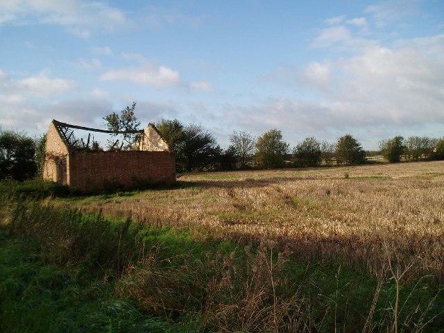
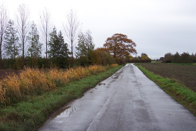
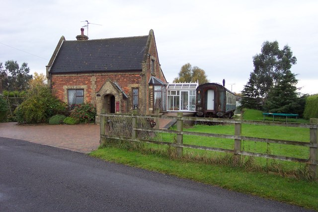
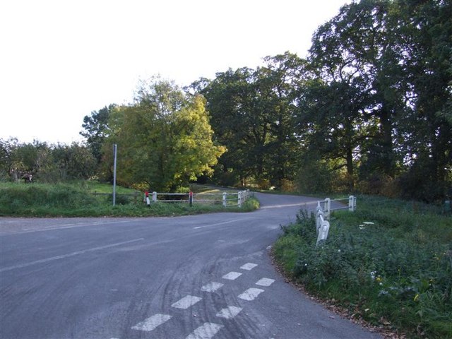
North Field Images
Images are sourced within 2km of 52.647441/0.22256601 or Grid Reference TF5007. Thanks to Geograph Open Source API. All images are credited.


North Field is located at Grid Ref: TF5007 (Lat: 52.647441, Lng: 0.22256601)
Administrative County: Norfolk
District: King's Lynn and West Norfolk
Police Authority: Norfolk
What 3 Words
///plodded.growth.person. Near Emneth, Norfolk
Nearby Locations
Related Wikis

Emneth
Emneth is a village and civil parish in the English county of Norfolk. The village is located 2.9 miles (4.7 km) south-east of Wisbech, 12 miles (19 km...

Emneth Hungate
Emneth Hungate is a small settlement near the village of Emneth in Norfolk, England, near the border with Cambridgeshire. It once had its own Emneth railway...

Marshland Rural District
Marshland Rural District was a rural district in Norfolk, England from 1894 to 1974.It was formed under the Local Government Act 1894 based on the Marshland...

Emneth railway station
Emneth was a railway station, near Wisbech, which served the village of Emneth, Norfolk. The station was opened in 1848 as an extension of the East Anglian...

Marshland St James
Marshland St James is a village and civil parish in the English county of Norfolk. It covers an area of 25.69 km2 (9.92 sq mi) and had a population of...
Boyces Bridge railway station
Boyces Bridge railway station was a station in Norfolk on the Wisbech and Upwell Tramway commonly known as the Upwell Tramway. It was located north of...

Smeeth Road railway station
Smeeth Road was a railway station serving the villages of Emneth Hungate, Marshland St James and St John Fen's End, all east of Wisbech in Norfolk, England...
Collett's Bridge
Collett's Bridge is a hamlet within the parish of Elm in the Isle of Ely, Cambridgeshire, England. It is situated on the eastern boundary of the district...
Nearby Amenities
Located within 500m of 52.647441,0.22256601Have you been to North Field?
Leave your review of North Field below (or comments, questions and feedback).