Birdbeck Field

Downs, Moorland in Cambridgeshire King's Lynn and West Norfolk

England

Birdbeck Field

The course of the former Wisbech and Upwell Tramway This section of the tramway opened in 1884 and closed to passengers in 1927 and to freight in 1966.
The course of the former Wisbech and Upwell Tramway Credit: Jonathan Thacker

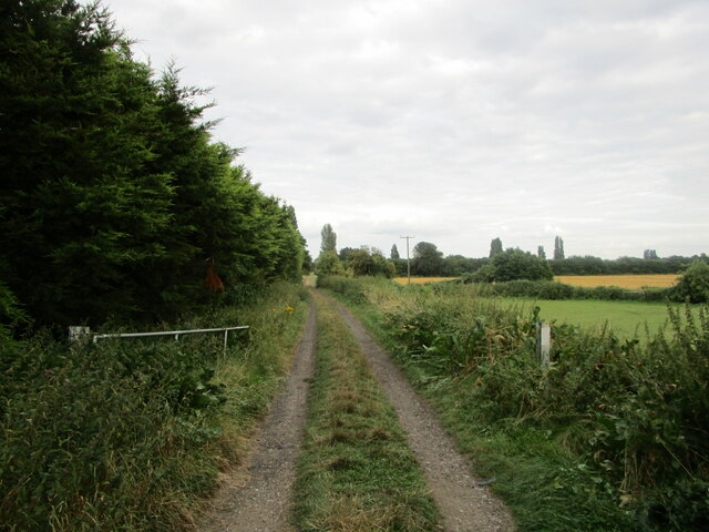
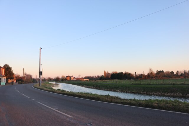
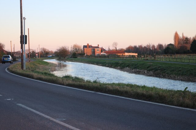
Birdbeck Field is a beautiful expanse of natural land located in Cambridgeshire, England. Situated on the outskirts of the city, the field is known for its picturesque downs and moorland. Spanning an area of approximately 100 acres, Birdbeck Field is a popular destination for nature enthusiasts and locals seeking tranquility.

The field is characterized by its undulating downs, which provide stunning panoramic views of the surrounding countryside. The gentle slopes are covered in lush green grasses, dotted with vibrant wildflowers during the spring and summer months. These downs attract a variety of bird species, making Birdbeck Field a haven for birdwatchers and ornithologists alike.

Adjacent to the downs is the moorland, which adds diversity to the landscape. The moorland is characterized by its open, rugged terrain, covered in heather and various species of grasses. This unique ecosystem supports a range of wildlife, including small mammals, reptiles, and insects. Visitors often spot rabbits, hares, and the occasional deer while exploring this area.

Birdbeck Field offers several walking trails, allowing visitors to explore the beauty of the downs and moorland at their own pace. There are also designated picnic areas, providing an opportunity for visitors to relax and enjoy the surroundings.

Birdbeck Field is not only a natural gem but also an important site for conservation. The field is managed by local authorities and conservation organizations to preserve its unique biodiversity and ensure its protection for future generations.

If you have any feedback on the listing, please let us know in the comments section below.

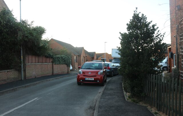
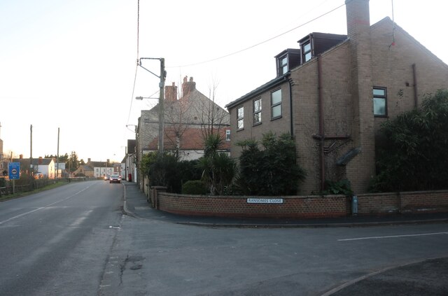
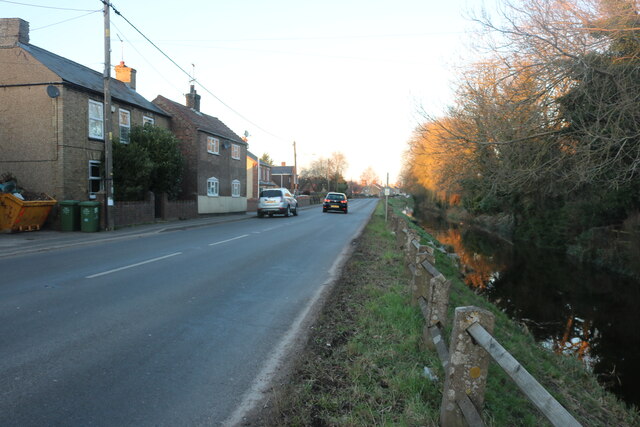
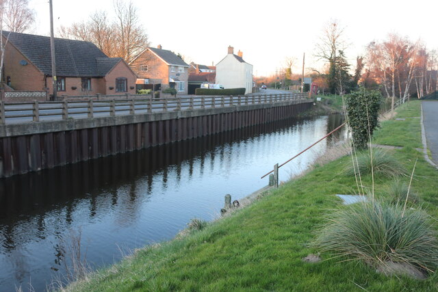
Birdbeck Field Images

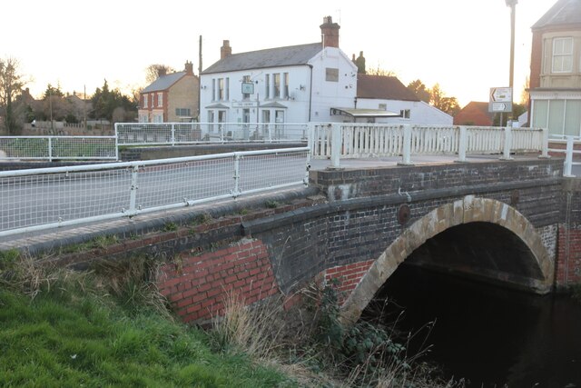
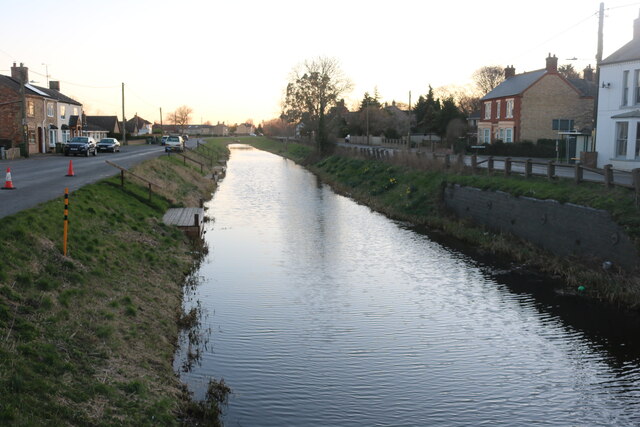
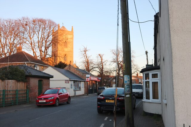
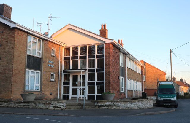
Images are sourced within 2km of 52.611663/0.22118172 or Grid Reference TF5003. Thanks to Geograph Open Source API. All images are credited.

The course of the former Wisbech and Upwell Tramway This section of the tramway opened in 1884 and closed to passengers in 1927 and to freight in 1966.
The course of the former Wisbech and Upwell Tramway
This section of the tramway opened in 1884 and closed to passengers in 1927 and to freight in 1966.
House by the River Nene, Upwell
The River Nene, Upwell The main roads in the area follow it like this for some miles.
The River Nene, Upwell
The main roads in the area follow it like this for some miles.
The Tramway, Outwell This marks the point of the old tramway. It went from here to Wisbech. <span class="nowrap"><a title="https://www.wellcreektrust.org.uk/tramway-2/" rel="nofollow ugc noopener" href="https://www.wellcreektrust.org.uk/tramway-2/">Link</a><img style="margin-left:2px;" alt="External link" title="External link - shift click to open in new window" src="https://s1.geograph.org.uk/img/external.png" width="10" height="10"/></span>
The Tramway, Outwell
This marks the point of the old tramway. It went from here to Wisbech. LinkExternal link
Isle Bridge, Outwell Crossing the River Nene
Isle Bridge, Outwell
Crossing the River Nene
The River Nene, Outwell
Church Drove, Outwell Looking towards St Clement's Church
Church Drove, Outwell
Looking towards St Clement's Church
Ingle House in Outwell It looks like offices but it's a block of flats.
Ingle House in Outwell
It looks like offices but it's a block of flats.
Costcutter on Church Drove, Outwell
Downham Road, Outwell Looking across Well Creek
Downham Road, Outwell
Looking across Well Creek
Well Creek in Outwell Both main roads in run alongside either the River Nene from the south or Well Creek which joins from the east around here.
Well Creek in Outwell
Both main roads in run alongside either the River Nene from the south or Well Creek which joins from the east around here.
The Five Bells, Upwell
Ransomes Close, Upwell
Rectory Road at the junction of Ransomes Close
Rectory Road, Upwell Built along the River Nene
Rectory Road, Upwell
Built along the River Nene
The River Nene, Outwell
Well Creek in Outwell By Downham Road
Well Creek in Outwell
By Downham Road
Well Creek in Outwell
Show me another place!

Birdbeck Field is located at Grid Ref: TF5003 (Lat: 52.611663, Lng: 0.22118172)

Division: Isle of Ely

Administrative County: Norfolk

District: King's Lynn and West Norfolk

Police Authority: Norfolk

What 3 Words

///cutback.pebbles.underline. Near Outwell, Norfolk

Nearby Locations

Birdbeck Field

Related Wikis

Outwell Village railway station

Outwell Village railway station was a station in Outwell, Norfolk on the Wisbech and Upwell Tramway. It opened in 1884 and closed to passengers in 1928...

Outwell Basin railway station

Outwell Basin railway station was a stop on the Wisbech and Upwell Tramway in Outwell, Norfolk. It opened in 1883 carrying passenger and goods traffic...

Outwell

Outwell is a village and civil parish in the borough of King's Lynn and West Norfolk, in the English county of Norfolk.At the 2011 Census, the parish had...

Beaupré Hall

Beaupré Hall was a large 16th-century house mainly of brick, which was built by the Beaupres in Outwell, Norfolk, England and enlarged by their successors...

Upwell railway station

Upwell railway station was a station in Upwell, Norfolk on the Wisbech and Upwell Tramway. It was opened in 1883 to carry passengers and agricultural wares...

Upwell

Upwell is a village and civil parish in the English county of Norfolk. Upwell village is on the A1101 road, as is Outwell, its conjoined village at the...

Boyces Bridge railway station

Boyces Bridge railway station was a station in Norfolk on the Wisbech and Upwell Tramway commonly known as the Upwell Tramway. It was located north of...

Molycourt Priory

The Priory of St Mary de Bello Loco, commonly referred to as Molycourt Priory, was a small Benedictine priory located in the parish of Outwell, Norfolk...

Nearby Amenities

Located within 500m of 52.611663,0.22118172
Bus Stop
The Cottons, opp
Naptan AtcoCode: 2900O0421
Naptan Bearing: SE
Naptan BusStopType: CUS
Naptan CommonName: The Cottons
Naptan Indicator: opp
Naptan Landmark: The Common
Naptan Locality: Outwell
Naptan NaptanCode: nfogptdw
Naptan Street: Pious Drove
Naptan Verified: no
Source: naptan_import
Lat/Long: 52.6096555/0.2194159
Bus Stop
The Cottons, adj
Naptan AtcoCode: 2900O0422
Naptan Bearing: NW
Naptan BusStopType: CUS
Naptan CommonName: The Cottons
Naptan Indicator: adj
Naptan Landmark: Common
Naptan Locality: Outwell
Naptan NaptanCode: nfogmwgt
Naptan Street: Pious Drove
Naptan Verified: no
Source: naptan_import
Lat/Long: 52.6092639/0.2196768
Give Way
Lat/Long: 52.6146758/0.2182741
Post Box
Operator: Royal Mail
Post Box Mounting: pier
Post Box Type: lamp
Royal Cypher: EIIR
Royal Cypher Wikidata: Q33102113
Lat/Long: 52.6147865/0.2184922
Power: pole
Lat/Long: 52.61592/0.2207076
Power: pole
Transformer: distribution
Lat/Long: 52.6153883/0.2203146
Power: pole
Transformer: distribution
Lat/Long: 52.614504/0.2190379
Power: pole
Lat/Long: 52.6128461/0.2161398
Power: pole
Lat/Long: 52.6126372/0.21468
Power: pole
Lat/Long: 52.6130224/0.2174708
Power: pole
Lat/Long: 52.6138986/0.2189675
Power: pole
Lat/Long: 52.6133367/0.2180475
Give Way
Lat/Long: 52.6145801/0.2184083
The data included in this document is from www.openstreetmap.org. The data is made available under ODbL.

Have you been to Birdbeck Field?

Leave your review of Birdbeck Field below (or comments, questions and feedback).