The Common
Downs, Moorland in Cambridgeshire South Cambridgeshire
England
The Common

The Common, located in Cambridgeshire, is a vast area of land encompassing downs and moorland. It is a picturesque landscape that stretches across miles, offering a serene and tranquil environment for visitors and locals alike. The area is characterized by its rolling hills, expansive heathland, and diverse vegetation.
The downs of The Common are marked by their gentle slopes, covered in a patchwork of vibrant green grasses and wildflowers during the warmer months. These undulating hills provide stunning panoramic views of the surrounding countryside, making it a popular spot for hikers and nature enthusiasts.
In contrast, the moorland section of The Common showcases a more rugged and wild landscape. Here, visitors can find vast stretches of heathland, dotted with heather and gorse bushes. The moorland is home to a variety of wildlife, including rare bird species, small mammals, and reptiles, making it a haven for wildlife enthusiasts and photographers.
The Common is not only a natural beauty but also a place of historical significance. It has been used for centuries as a grazing area for local farmers' livestock, contributing to its diverse flora and fauna. Additionally, remnants of ancient settlements and burial mounds can be found throughout the area, providing a glimpse into its rich past.
Whether one seeks a peaceful walk amidst nature, a scenic picnic spot, or a place to explore the region's history, The Common in Cambridgeshire offers a delightful experience for all.
If you have any feedback on the listing, please let us know in the comments section below.
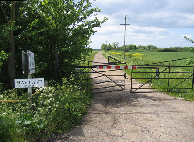
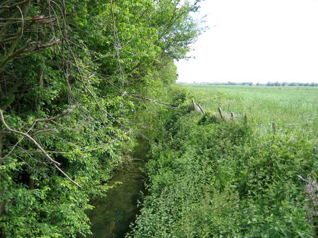
The Common Images
Images are sourced within 2km of 52.265921/0.16551812 or Grid Reference TL4765. Thanks to Geograph Open Source API. All images are credited.


The Common is located at Grid Ref: TL4765 (Lat: 52.265921, Lng: 0.16551812)
Administrative County: Cambridgeshire
District: South Cambridgeshire
Police Authority: Cambridgeshire
What 3 Words
///pacemaker.trickster.revised. Near Waterbeach, Cambridgeshire
Nearby Locations
Related Wikis
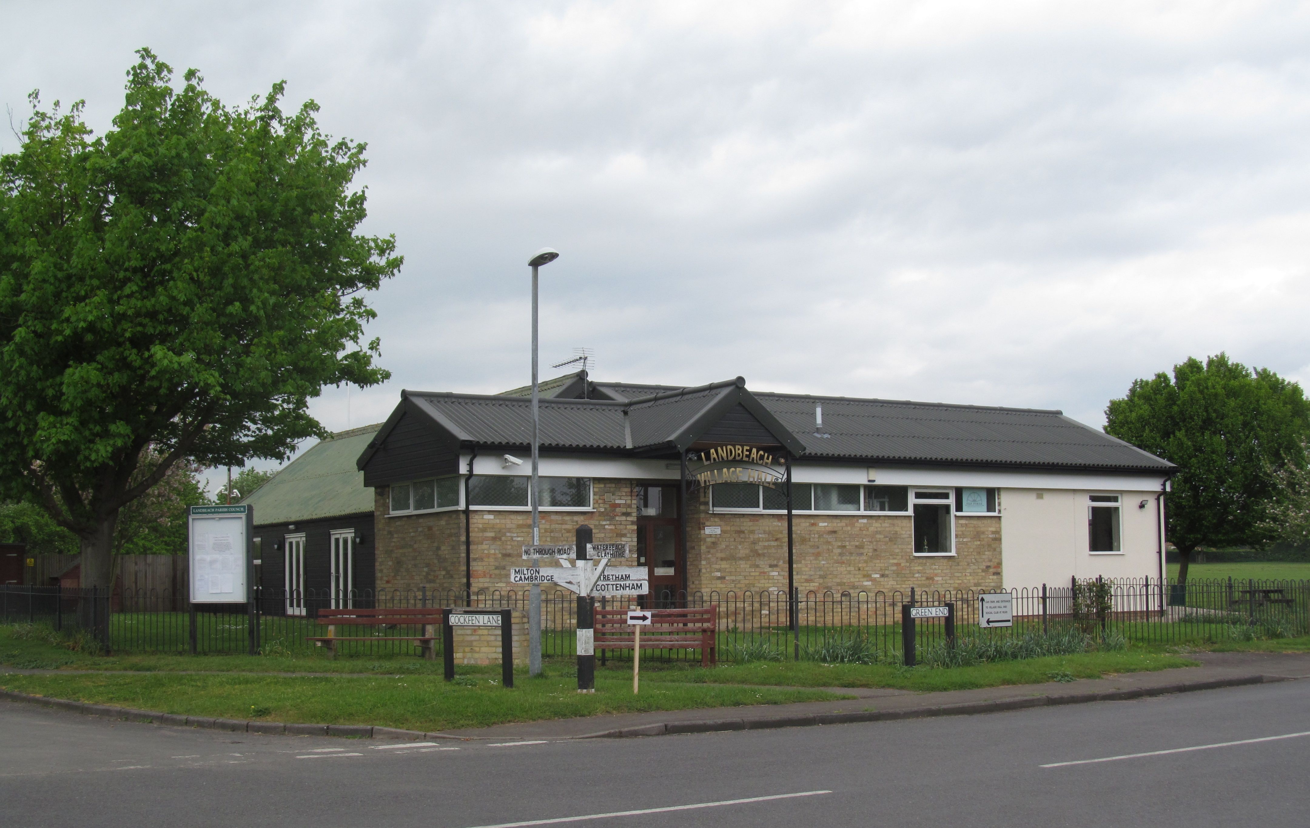
Landbeach
Landbeach is a small fen-edge English village about three miles (5 km) north of Cambridge. The parish covers an area of 9 km2 (3.5 sq mi). == History... ==

Waterbeach
Waterbeach is an expanding village 6 miles (9.7 km) north of Cambridge on the edge of The Fens, in the South Cambridgeshire district of Cambridgeshire...

Church of St John the Evangelist, Waterbeach
The Anglican Church of St John the Evangelist (also known as St John's Church) is the parish church of the village of Waterbeach in Cambridgeshire, England...
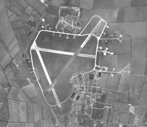
RAF Waterbeach
Royal Air Force Waterbeach or more simply RAF Waterbeach is a former Royal Air Force station located in Waterbeach, Cambridgeshire which is about 5.5 miles...

Waterbeach Barracks
Waterbeach Barracks is a former military installation in Waterbeach, Cambridgeshire. The site was an RAF Station, RAF Waterbeach and then used by the Royal...

Waterbeach Abbey
Waterbeach Abbey was an abbey at Waterbeach in Cambridgeshire, England. It was established in 1294 by nuns from the Second Order of St. Francis who had...

Waterbeach railway station
Waterbeach railway station is on the Fen line in the east of England, serving the village of Waterbeach, Cambridgeshire. It is 61 miles 1 chain (98.2 km...
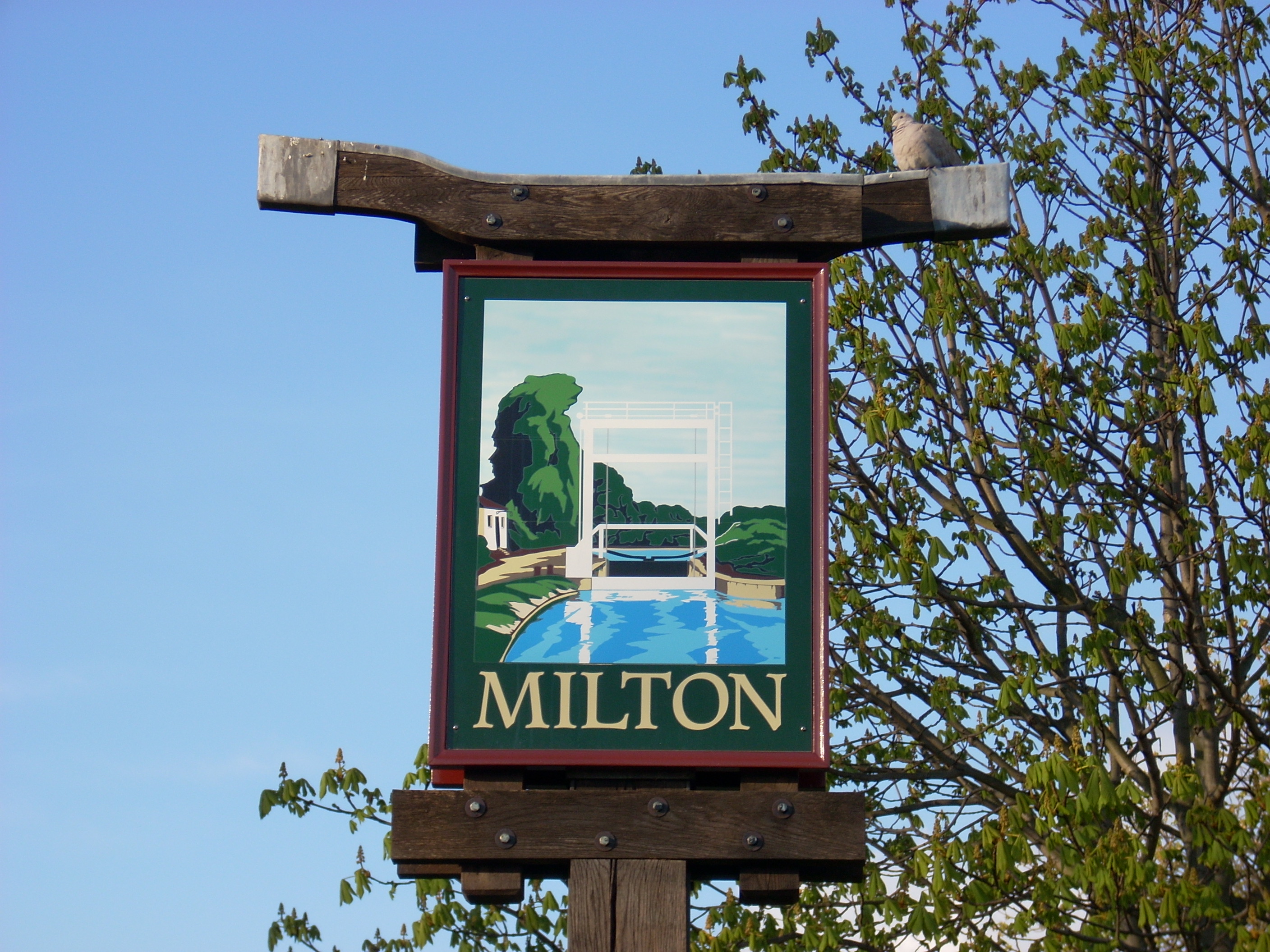
Milton, Cambridgeshire
Milton is a village just north of Cambridge, England, with a population of 4,679 at the 2011 census. == History == Milton grew from a small population...
Nearby Amenities
Located within 500m of 52.265921,0.16551812Have you been to The Common?
Leave your review of The Common below (or comments, questions and feedback).