Chapnall Field
Downs, Moorland in Norfolk King's Lynn and West Norfolk
England
Chapnall Field

Chapnall Field is a beautiful expanse of open land located in Norfolk, England. It is situated in the area known as Norfolk Downs, which is characterized by its rolling hills and stunning countryside views. The field is part of a larger moorland area, known for its rich biodiversity and unique ecosystem.
Covering an area of approximately 200 acres, Chapnall Field is a designated Site of Special Scientific Interest (SSSI), owing to its importance in preserving and protecting the local flora and fauna. It is home to a wide range of plant species, including heather, gorse, and various grasses. These plants provide a habitat for numerous animal species, such as rabbits, hares, and various bird species, including skylarks and kestrels.
The field itself is a popular spot for outdoor activities and recreational pursuits. Its expansive nature makes it ideal for walking, hiking, and picnicking. The rolling hills offer breathtaking views of the surrounding countryside, making it a favorite spot for nature enthusiasts and photographers.
Chapnall Field also holds cultural and historical significance. It is believed to have been used as grazing land for centuries, and remnants of old farming structures can still be seen on the site. The field is often used for educational purposes, providing an opportunity for visitors to learn about the area's history and ecology.
Overall, Chapnall Field is a cherished natural gem in Norfolk, offering a peaceful retreat from the bustle of city life and providing a glimpse into the region's unique natural heritage.
If you have any feedback on the listing, please let us know in the comments section below.
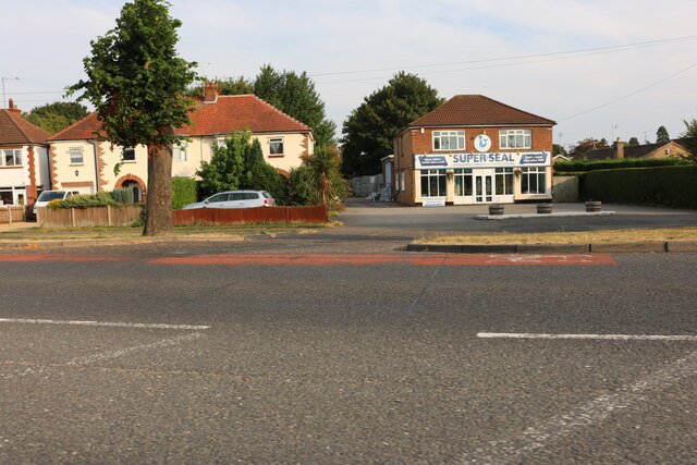
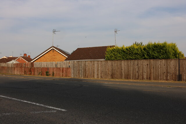
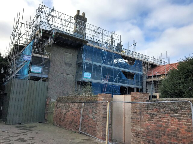
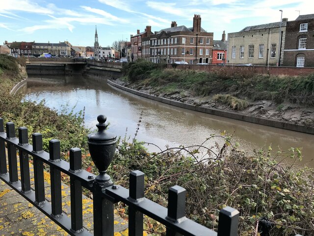
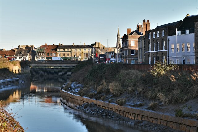
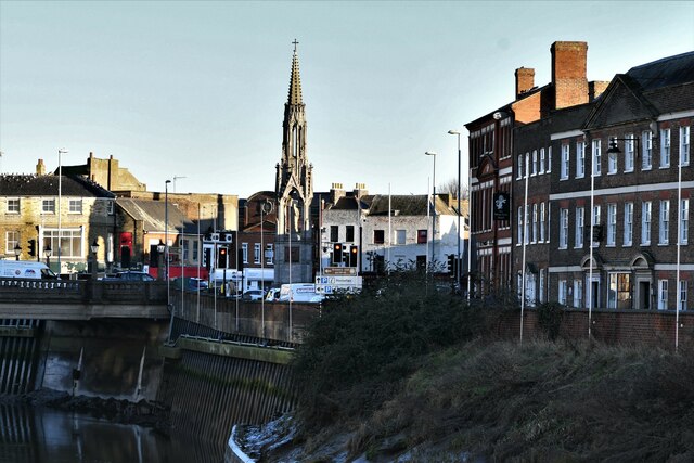
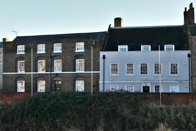
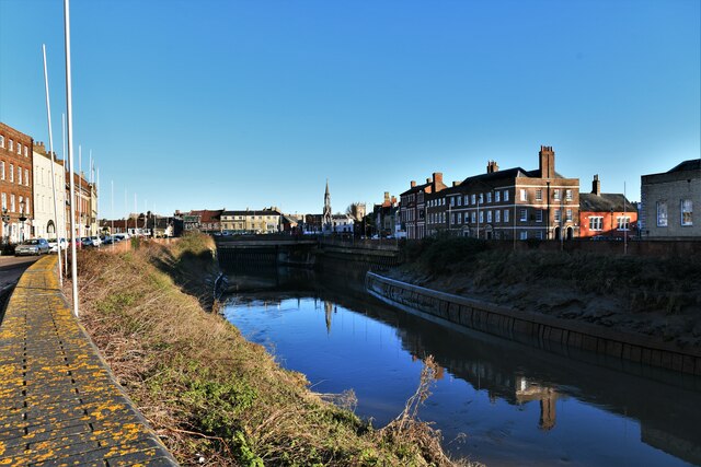
Chapnall Field Images
Images are sourced within 2km of 52.665852/0.18504792 or Grid Reference TF4709. Thanks to Geograph Open Source API. All images are credited.


Chapnall Field is located at Grid Ref: TF4709 (Lat: 52.665852, Lng: 0.18504792)
Administrative County: Norfolk
District: King's Lynn and West Norfolk
Police Authority: Norfolk
What 3 Words
///dishes.situated.signed. Near Wisbech, Cambridgeshire
Nearby Locations
Related Wikis

Walsoken
Walsoken is a settlement and civil parish in Norfolk, England, which is conjoined as a suburb at the northeast of the town of Wisbech, Isle of Ely, Cambridgeshire...

Walsoken railway station
Walsoken railway station was located on the line between Wisbech East and Emneth. It served the village and parish of Walsoken in Norfolk, England, and...
Wisbech Town F.C.
Wisbech Town Football Club is a football club based near Wisbech, Cambridgeshire, England. The club are currently members of the United Counties League...
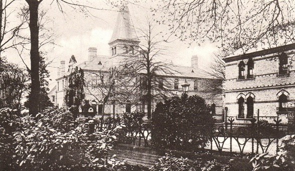
North Cambridgeshire Hospital
North Cambridgeshire Hospital is a healthcare facility in The Park, Wisbech, Cambridgeshire, England. It is managed by the Cambridgeshire and Peterborough...
Wisbech Electric Theatre
The Wisbech Electric Theatre was a cinema and theatre in Wisbech, England. It was opened in 1910. == History == The proprietor was Mr Cooper J Elm and...
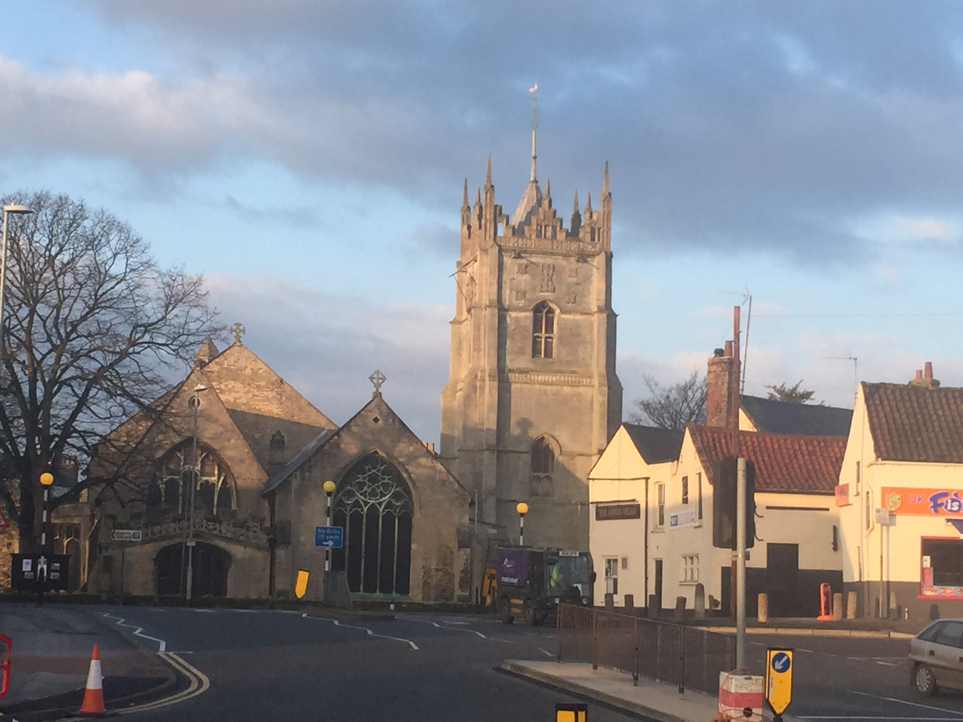
St Peter and St Paul's Church, Wisbech
The Parish Church of St Peter and St Paul or St Peter's Church is an Anglican church in Wisbech, Cambridgeshire, England. It is an active parish church...
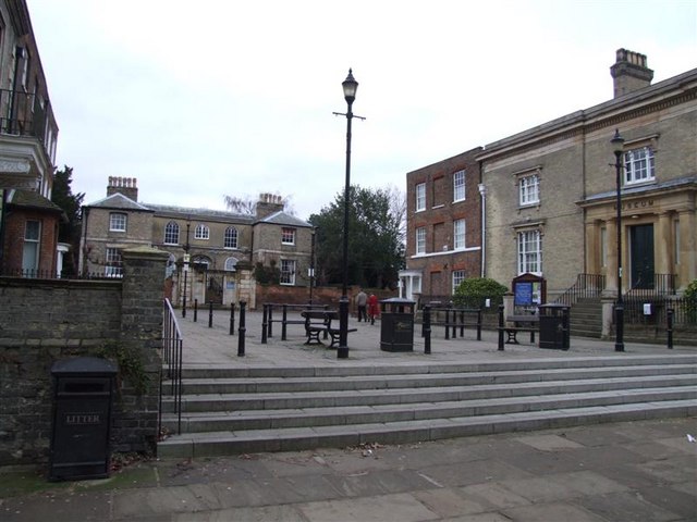
Wisbech & Fenland Museum
The Wisbech & Fenland Museum, located in the town of Wisbech in the Isle of Ely, Cambridgeshire, England, is one of the oldest purpose-built museums in...
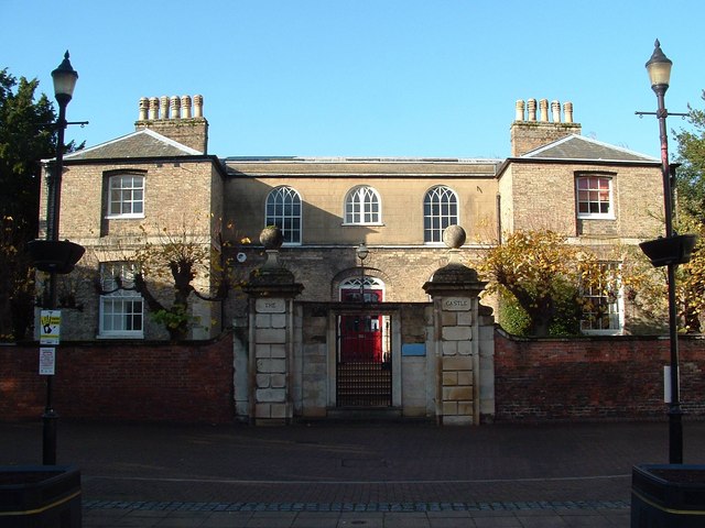
Wisbech Castle
Wisbech Castle was a stone to motte-and-bailey castle built to fortify Wisbech (historically in the Isle of Ely and now also in the Fenland District of...
Nearby Amenities
Located within 500m of 52.665852,0.18504792Have you been to Chapnall Field?
Leave your review of Chapnall Field below (or comments, questions and feedback).