Aldreth Field
Downs, Moorland in Cambridgeshire East Cambridgeshire
England
Aldreth Field
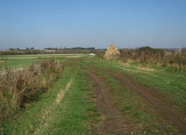
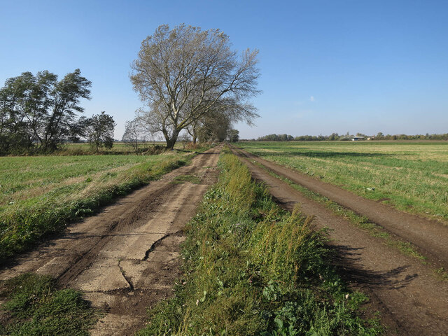
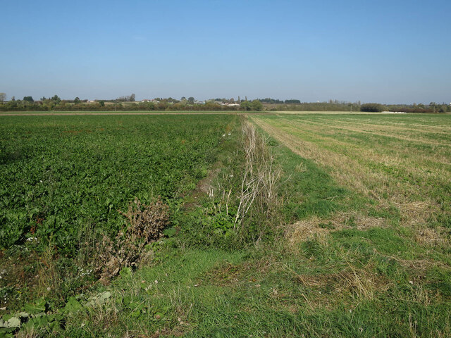
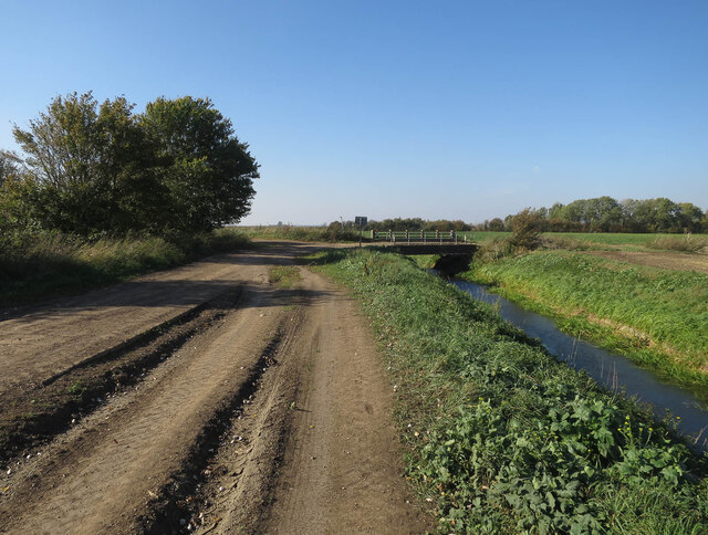
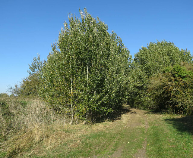
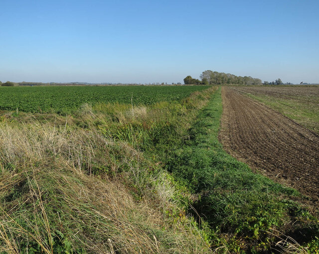
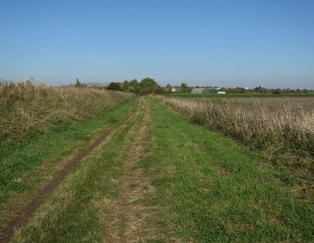
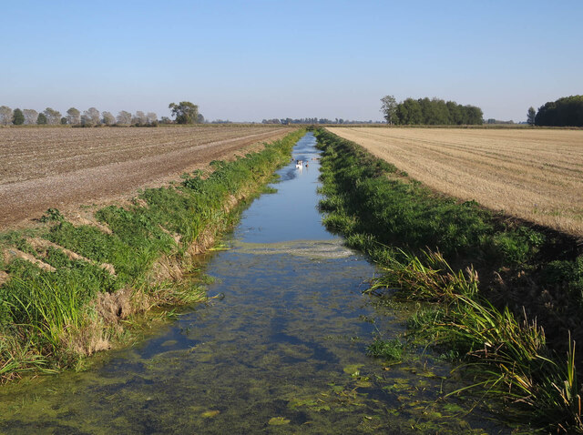
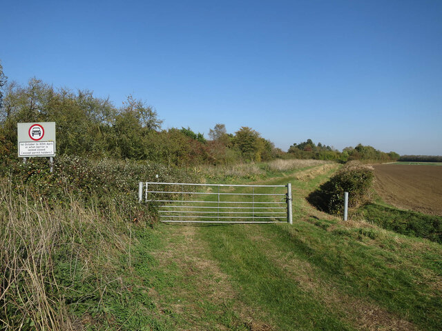
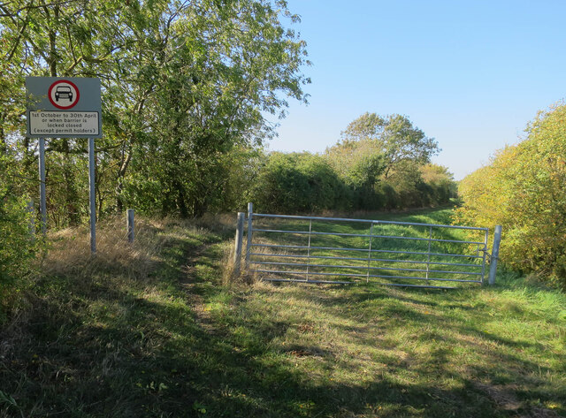
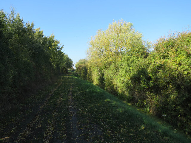
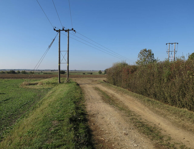
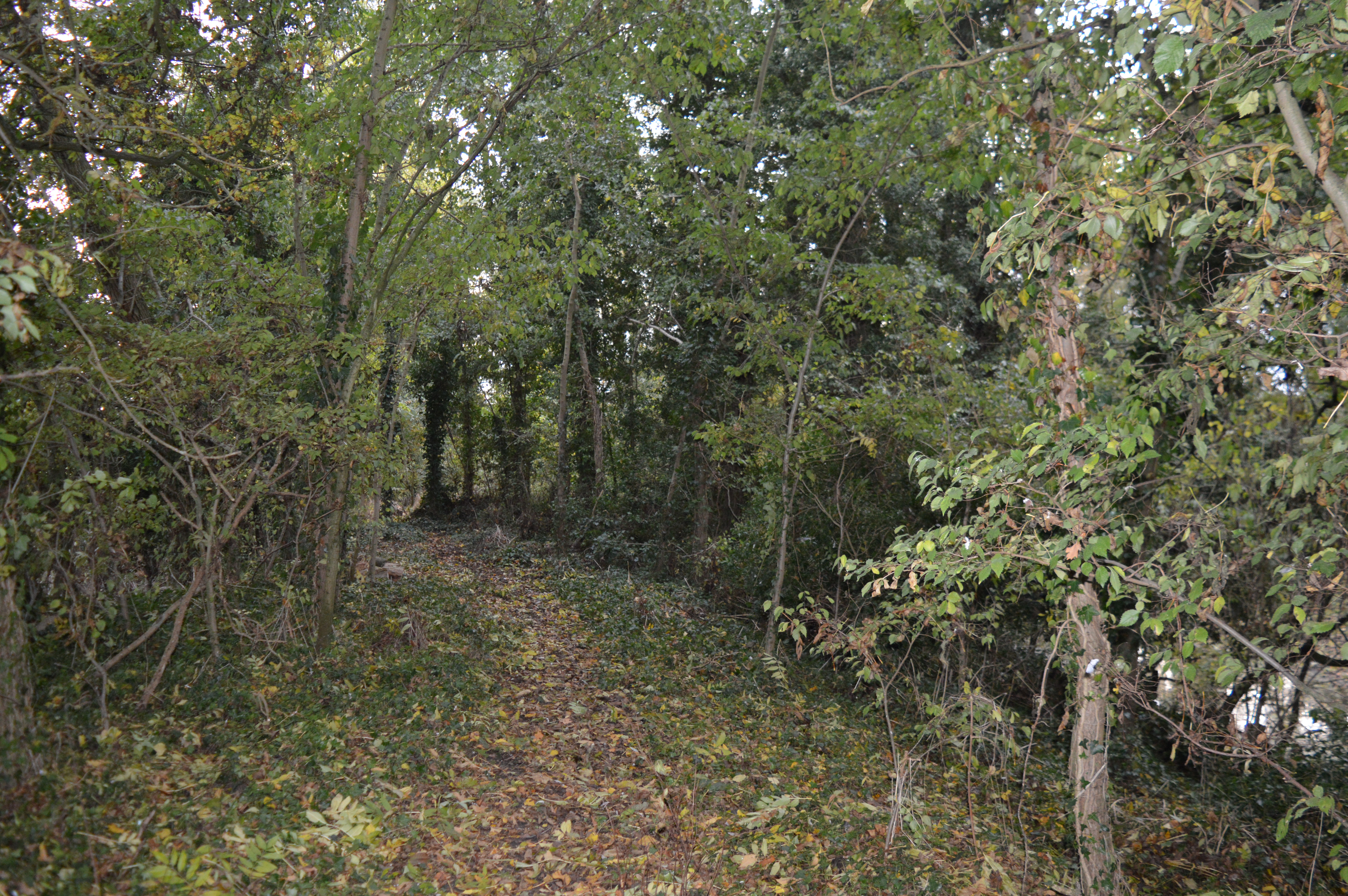
Aldreth Field is a picturesque and expansive area located in Cambridgeshire, England. Nestled between the villages of Aldreth and Haddenham, this rural landscape offers a diverse range of natural features, including downs and moorland. With its undulating terrain and breathtaking views, it has become a popular destination for both locals and tourists seeking tranquility and outdoor activities.
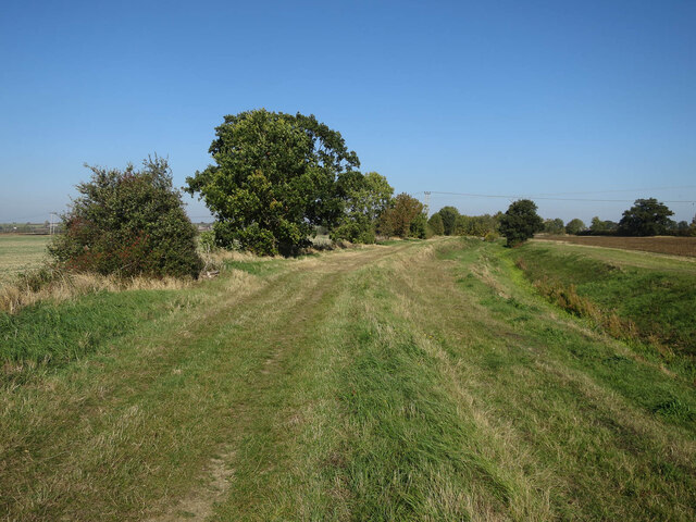
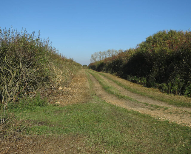
The downs in Aldreth Field are characterized by their gently rolling hills and expansive grasslands. These open spaces provide ample opportunities for leisurely walks, picnics, and kite flying. The downs also support a variety of plant and animal life, making it an ideal spot for nature enthusiasts and wildlife watchers.
In contrast, the moorland areas of Aldreth Field offer a rugged and wilder experience. The landscape is dominated by heather, bracken, and gorse, creating a vibrant tapestry of colors throughout the year. Moorland birds such as curlews, lapwings, and skylarks can often be spotted, making it a haven for birdwatchers.
Aldreth Field is also known for its historical significance. It is home to several ancient monuments, including barrows and burial mounds, which are a testament to the area's rich past. These sites offer a glimpse into the lives and customs of the early inhabitants of Cambridgeshire.
Overall, Aldreth Field in Cambridgeshire provides a captivating blend of downs and moorland, offering visitors a chance to immerse themselves in the beauty of the natural world while experiencing the region's cultural heritage.
If you have any feedback on the listing, please let us know in the comments section below.
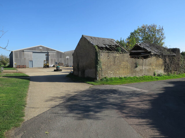
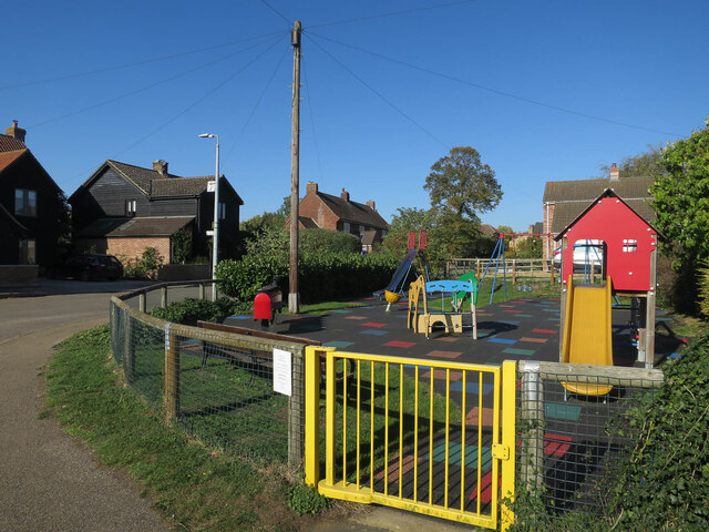
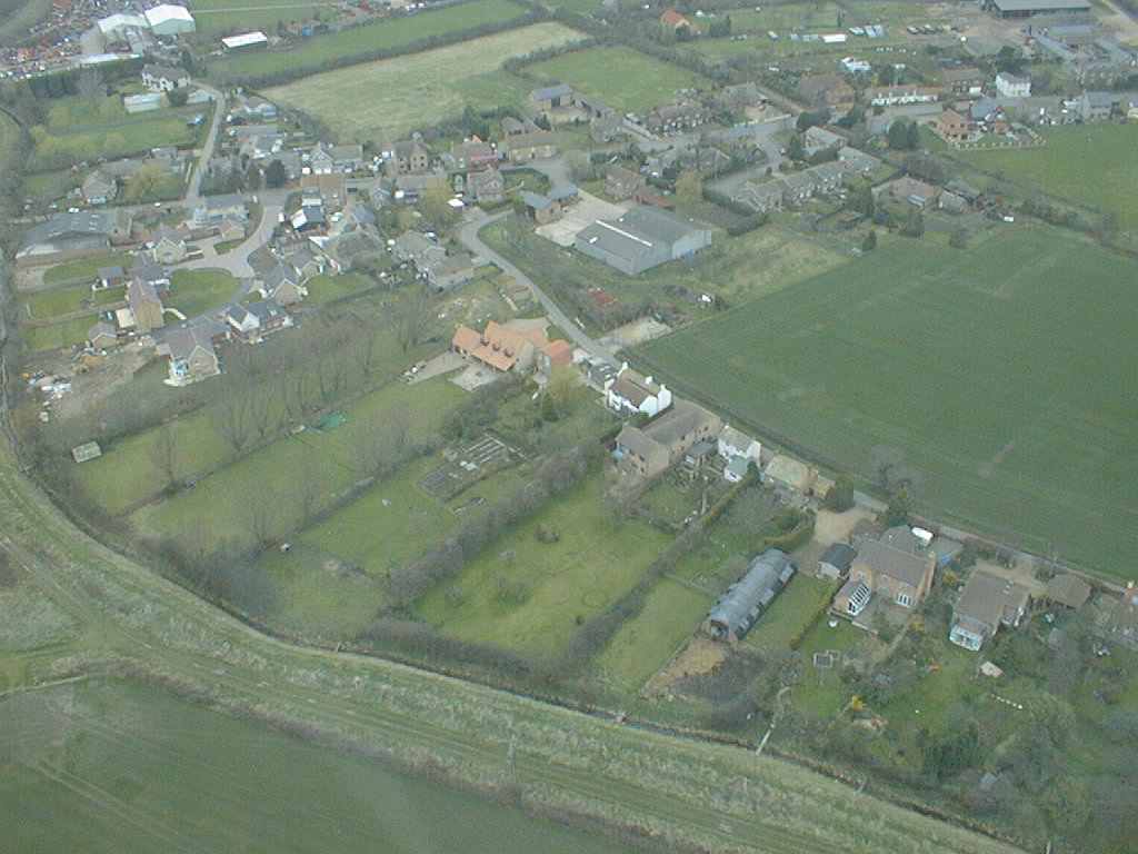
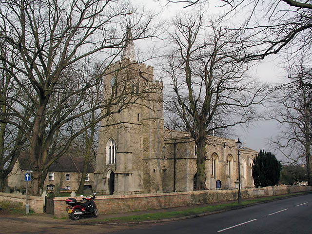
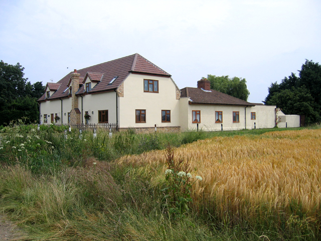
Aldreth Field Images
Images are sourced within 2km of 52.346444/0.12334935 or Grid Reference TL4474. Thanks to Geograph Open Source API. All images are credited.
Aldreth Field is located at Grid Ref: TL4474 (Lat: 52.346444, Lng: 0.12334935)
Division: Isle of Ely
Administrative County: Cambridgeshire
District: East Cambridgeshire
Police Authority: Cambridgeshire
What 3 Words
///paint.bulletins.timeless. Near Haddenham, Cambridgeshire
Nearby Locations
Related Wikis
Aldreth
Aldreth is a hamlet in Cambridgeshire with about 260 residents (2001 census). It is located near the larger village of Haddenham (where the population...

Haddenham, Cambridgeshire
Haddenham is a village and civil parish in Cambridgeshire, England. In the 2001 census the parish had a population of 3,228. The 2011 census reported a...

Haddenham railway station (Cambridgeshire)
Haddenham railway station was a station in Haddenham, Cambridgeshire. It was first opened in 1866 by the Ely, Haddenham and Sutton Railway. It closed to...
Doghouse Grove
Doghouse Grove is a 0.8-hectare (2.0-acre) nature reserve in Wilburton in Cambridgeshire. It is managed by the Wildlife Trust for Bedfordshire, Cambridgeshire...
Wilburton
Wilburton is a small village of just over 1,000 inhabitants, situated in Cambridgeshire, England. It is 6 miles south west of Ely. While nominally an agricultural...
Wilburton railway station
Wilburton railway station was a station in Wilburton, Cambridgeshire on the Ely and St Ives Railway. It was closed to regular passenger trains in 1931...

Sutton railway station (Cambridgeshire)
Sutton railway station was a station in Sutton, Cambridgeshire on the Ely and St Ives Railway. The first station opened in 1866 but it became the goods...
Sutton-in-the-Isle
Sutton or Sutton-in-the-Isle is a village and civil parish in the county of Cambridgeshire in England, near the city of Ely. The "in-the-Isle" suffix refers...
Nearby Amenities
Located within 500m of 52.346444,0.12334935Have you been to Aldreth Field?
Leave your review of Aldreth Field below (or comments, questions and feedback).