Severs Green

Downs, Moorland in Essex Epping Forest

England

Severs Green

Epping Upland A small "B" road zigzags through this hamlet and I'm sure that this is the view that most people see.  The photo was taken by the memorial gate of the churchyard and there is a manor, moat, war memorial and a rather inaccessible pond.
Epping Upland Credit: Andrew Dann

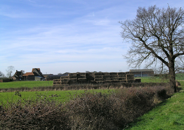
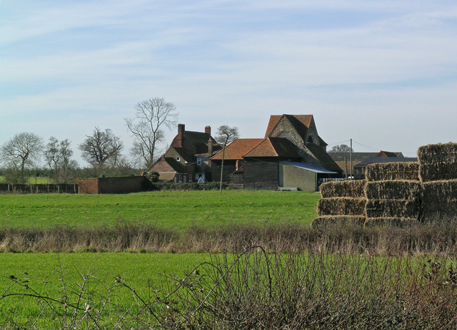
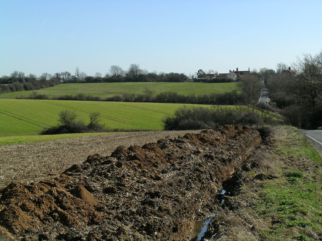
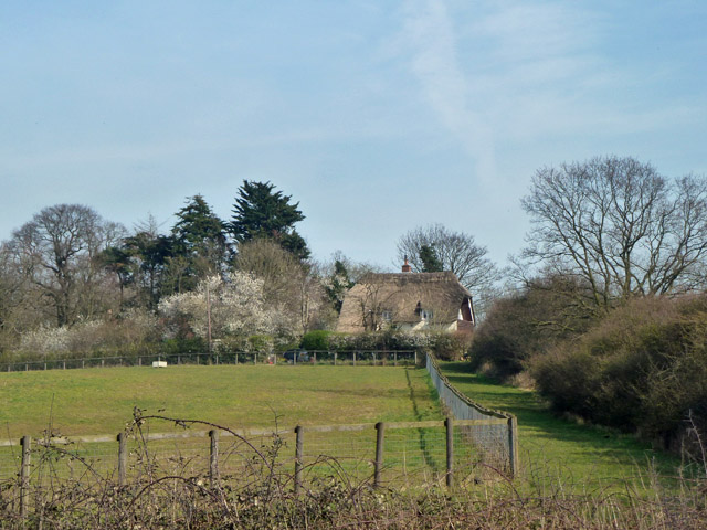
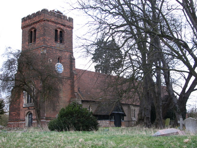
Severs Green is a small village located in the county of Essex, England. Situated in the beautiful countryside, Severs Green is known for its picturesque surroundings, characterized by rolling downs and moorland. The village is nestled amidst lush green fields, providing a serene and tranquil atmosphere.

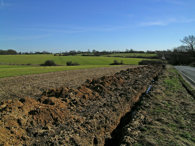
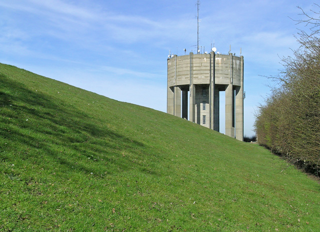
The downs in Severs Green are a prominent feature of the landscape, offering breathtaking views of the surrounding countryside. These downs are covered with an assortment of wildflowers during the spring and summer months, creating a vibrant and colorful setting. The moorland in the area is home to a variety of wildlife, including rabbits, hares, and various bird species.

The village itself is quaint, with a small population of friendly and welcoming residents. It has a close-knit community feel, where neighbors often come together for events and gatherings. The village has a few amenities, including a local pub, a village hall, and a small convenience store, providing the essentials for its residents.

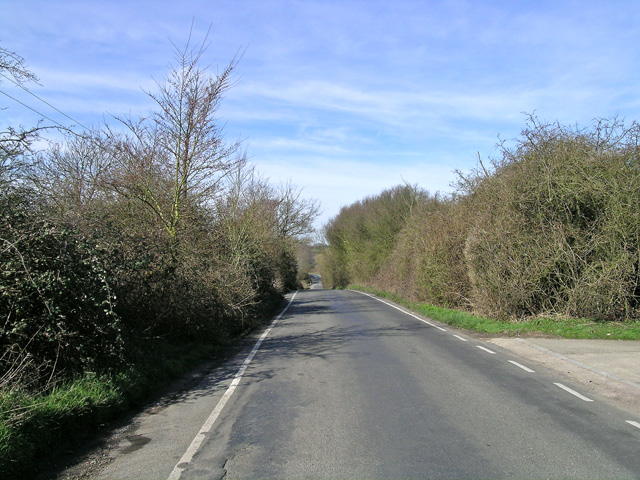
Severs Green is a popular destination for outdoor enthusiasts, attracting hikers, cyclists, and nature lovers. The village is surrounded by well-maintained footpaths and bridleways, making it an ideal location for exploring the countryside. The nearby nature reserves and parks offer further opportunities for outdoor activities and wildlife spotting.

Overall, Severs Green, Essex (Downs, Moorland) is a charming village that offers a peaceful escape from the hustle and bustle of city life. With its stunning natural landscapes, friendly community, and outdoor recreational opportunities, it is a hidden gem worth visiting for those seeking a tranquil rural experience.

If you have any feedback on the listing, please let us know in the comments section below.
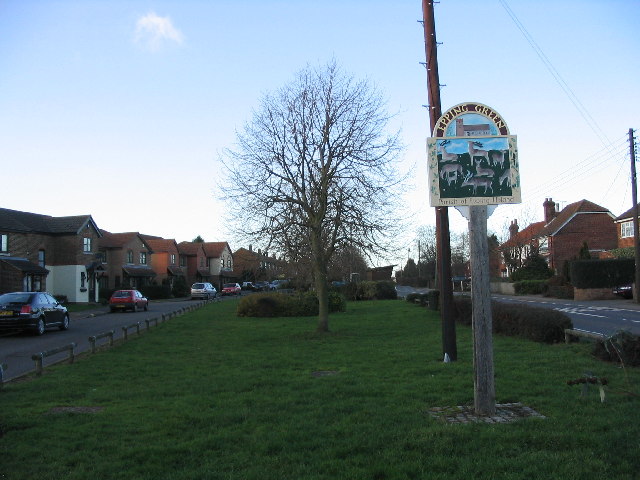
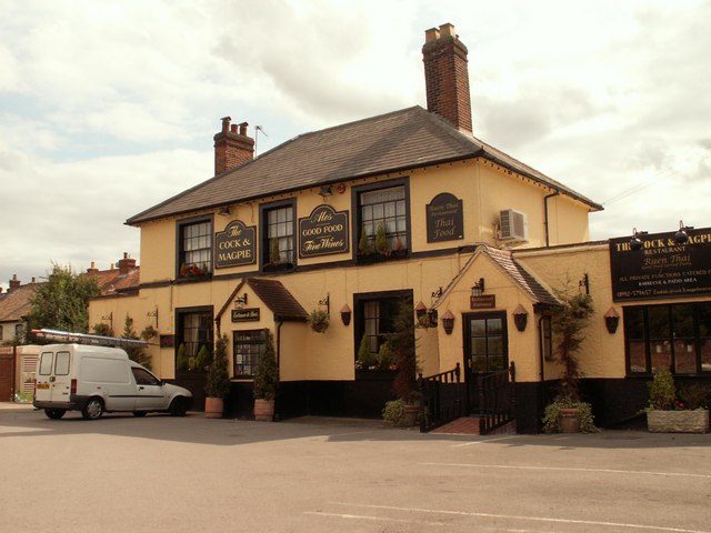
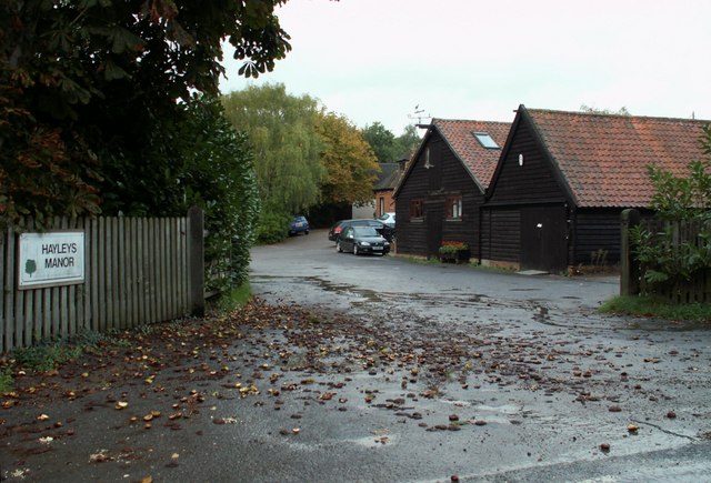
Severs Green Images

Images are sourced within 2km of 51.735598/0.093867883 or Grid Reference TL4406. Thanks to Geograph Open Source API. All images are credited.

Epping Upland A small "B" road zigzags through this hamlet and I'm sure that this is the view that most people see.  The photo was taken by the memorial gate of the churchyard and there is a manor, moat, war memorial and a rather inaccessible pond.
Epping Upland
A small "B" road zigzags through this hamlet and I'm sure that this is the view that most people see. The photo was taken by the memorial gate of the churchyard and there is a manor, moat, war memorial and a rather inaccessible pond.
Epping Green village This is the (mostly) new village of Epping Green, which seems to be getting newer all the time.  Nearby is Epping Long Green itself, older by far.
Epping Green village
This is the (mostly) new village of Epping Green, which seems to be getting newer all the time. Nearby is Epping Long Green itself, older by far.
Field near Jack's Hatch Looking South West from near the Epping Road.  The Three Forests' Way lies just over the horizon.
Field near Jack's Hatch
Looking South West from near the Epping Road. The Three Forests' Way lies just over the horizon.
Bishopsfield estate, Harlow This is the Podium area of Bishopsfield.
Bishopsfield estate, Harlow
This is the Podium area of Bishopsfield.
All Saints Church - Epping Upland, Essex This church dates back to Norman times, although it was largely restored in 1878.
All Saints Church - Epping Upland, Essex
This church dates back to Norman times, although it was largely restored in 1878.
Staple Tye Shopping Centre, Harlow New Town, Essex
'The Cock & Magpie' inn, Epping Green, Essex
Hayleys Manor Farm, just east of Epping Upland, Essex
Latton Priory taken from the Rundells footpath, off B1393 Latton Priory is to the left off this photo but I also wanted to capture the farmland with the haystacks and tree
Latton Priory taken from the Rundells footpath, off B1393
Latton Priory is to the left off this photo but I also wanted to capture the farmland with the haystacks and tree
Latton Priory taken from the Rundells footpath Here's a closer view of Latton Priory taken from the footpath of Rundells, off the B1393. It may look scenic, but the M11 is very close by and so is the noise from the traffic.
Latton Priory taken from the Rundells footpath
Here's a closer view of Latton Priory taken from the footpath of Rundells, off the B1393. It may look scenic, but the M11 is very close by and so is the noise from the traffic.
Rye Hill Road, taken from just past Rivetts Farm This road is quite hilly for Essex. Photo taken of the road to show the contours.
Rye Hill Road, taken from just past Rivetts Farm
This road is quite hilly for Essex. Photo taken of the road to show the contours.
Looking towards Rivetts Farm from Rye Hill Taken from Rye Hill Road
Looking towards Rivetts Farm from Rye Hill
Taken from Rye Hill Road
Farmland and Rivetts Farm from Rye Hill
Water Tower at Parndon Wood The Water Tower was fenced off, but the lens of my camera managed to peep through!
Water Tower at Parndon Wood
The Water Tower was fenced off, but the lens of my camera managed to peep through!
Water Tower at Parndon Wood Here's a close view of the Water Tower at Parndon Wood
Water Tower at Parndon Wood
Here's a close view of the Water Tower at Parndon Wood
Latton Priory, nr Harlow, Essex
Show me another place!

Severs Green is located at Grid Ref: TL4406 (Lat: 51.735598, Lng: 0.093867883)

Administrative County: Essex

District: Epping Forest

Police Authority: Essex

What 3 Words

///bleak.lake.palms. Near Epping, Essex

Related Wikis

Harlow Woods

Harlow Woods is a 47.1-hectare (116-acre) biological Site of Special Scientific Interest in Harlow in Essex. It is composed of three woods, Hospital Wood...

Jacks Hatch

Jacks Hatch (also spelt Jack's Hatch), is a hamlet in the Epping Upland civil parish of the Epping Forest district of Essex, England. Jacks Hatch is 1...

Epping Green, Essex

Epping Green is a village in the civil parish of Epping Upland and Epping Forest district of Essex, England, situated on the B181 road between Epping and...

Epping Upland

Epping Upland is a village and civil parish in the Epping Forest district of Essex, England.The village is situated on the B181 road, approximately 3 miles...
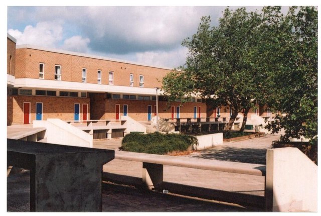
Stewards Academy

Stewards Academy (formerly Stewards Schools) is an 11–16 mixed secondary school with academy status in Harlow, Essex, England. == References == == External... ==

Latton Priory

Latton Priory was a small priory in Essex, England. Its site is about 1 km south of the outskirts of the modern town of Harlow. The priory was founded...

Epping Rural District

Epping was, from 1894 to 1955, a rural district in the administrative county of Essex, England. == Formation and boundary changes == The district was formed...

Nazeing

Nazeing ( NAYZ-ing) is a village and parish in Essex, England. Within the parish are the separate settlements of Upper Nazeing, Middle Nazeing, and Lower...

Nearby Amenities

Located within 500m of 51.735598,0.093867883
Noexit: yes
Lat/Long: 51.7390121/0.0894599
Severs Green
Place: hamlet
Lat/Long: 51.7361037/0.0939896
Noexit: yes
Lat/Long: 51.7390793/0.0895202
The data included in this document is from www.openstreetmap.org. The data is made available under ODbL.

Have you been to Severs Green?

Leave your review of Severs Green below (or comments, questions and feedback).