Parndon Wood

Wood, Forest in Essex Harlow

England

Parndon Wood

Church of St. Mary the Virgin, Great Parndon, Harlow, Essex Not far from 'The Cock' Public House
Church of St. Mary the Virgin, Great Parndon, Harlow, Essex Credit: Patrick Lee

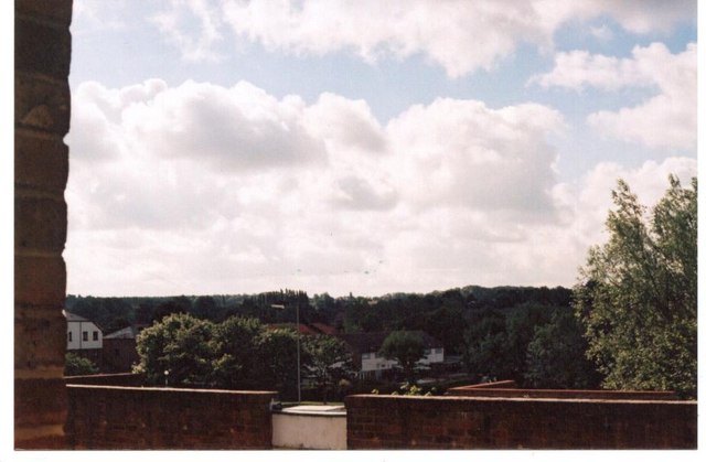
Parndon Wood is a beautiful forest located in Essex, England. Covering an area of approximately 184 acres, it is a popular destination for nature lovers and outdoor enthusiasts. The wood is part of the Parndon Wood Nature Reserve, managed by the Essex Wildlife Trust.

The woodland consists primarily of ancient oak and hornbeam trees, creating a rich and diverse habitat for a variety of wildlife. It is home to numerous bird species, including woodpeckers, owls, and nuthatches, making it a haven for birdwatchers. Additionally, the wood supports a wide range of flora, with wildflowers, ferns, and mosses scattered throughout.

Parndon Wood offers several walking trails that allow visitors to explore its natural beauty. These paths wind through the forest, offering breathtaking views and peaceful surroundings. The wood is particularly stunning during the spring and autumn seasons when the trees are in full bloom or adorned with vibrant colors.

The nature reserve also provides educational opportunities for both children and adults. It offers various workshops, guided walks, and events throughout the year, allowing visitors to learn about the local wildlife and conservation efforts. The wood also has a visitor center, where visitors can obtain information about the reserve, pick up trail maps, and engage with interactive displays.

Overall, Parndon Wood is a magnificent woodland that offers a tranquil escape from the hustle and bustle of everyday life. With its diverse wildlife, scenic trails, and educational opportunities, it is a must-visit destination for anyone seeking to connect with nature in Essex.

If you have any feedback on the listing, please let us know in the comments section below.
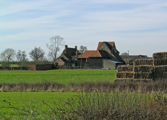
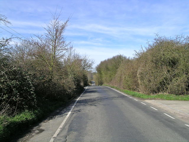
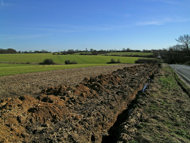
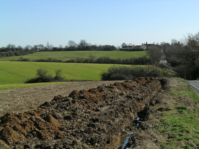
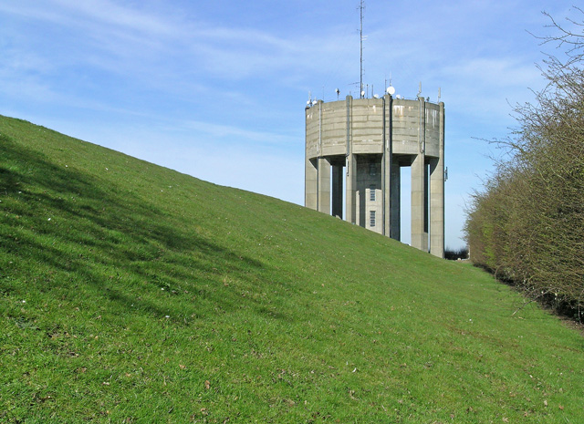
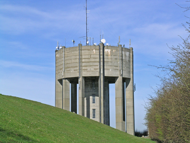
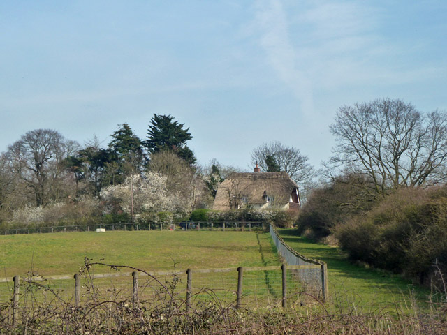
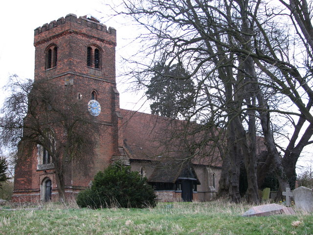
Parndon Wood Images

Images are sourced within 2km of 51.741546/0.092679864 or Grid Reference TL4406. Thanks to Geograph Open Source API. All images are credited.

Church of St. Mary the Virgin, Great Parndon, Harlow, Essex Not far from 'The Cock' Public House
Church of St. Mary the Virgin, Great Parndon, Harlow, Essex
Not far from 'The Cock' Public House
'The Cock' Public House, Great Parndon, Harlow, Essex
Epping Green village This is the (mostly) new village of Epping Green, which seems to be getting newer all the time.  Nearby is Epping Long Green itself, older by far.
Epping Green village
This is the (mostly) new village of Epping Green, which seems to be getting newer all the time. Nearby is Epping Long Green itself, older by far.
Field near Jack's Hatch Looking South West from near the Epping Road.  The Three Forests' Way lies just over the horizon.
Field near Jack's Hatch
Looking South West from near the Epping Road. The Three Forests' Way lies just over the horizon.
Bishopsfield estate, Harlow This is the Podium area of Bishopsfield.
Bishopsfield estate, Harlow
This is the Podium area of Bishopsfield.
Looking South from Bishopsfield. This was taken from one of the many high points in Bishopsfield and shows the view towards Epping.
Looking South from Bishopsfield.
This was taken from one of the many high points in Bishopsfield and shows the view towards Epping.
Blueprint of Bishopsfield This is why Bishopsfield was nicknamed the HORSESHOE estate for many years.
Blueprint of Bishopsfield
This is why Bishopsfield was nicknamed the HORSESHOE estate for many years.
Staple Tye Shopping Centre, Harlow New Town, Essex
'The Cock & Magpie' inn, Epping Green, Essex
Latton Priory taken from the Rundells footpath, off B1393 Latton Priory is to the left off this photo but I also wanted to capture the farmland with the haystacks and tree
Latton Priory taken from the Rundells footpath, off B1393
Latton Priory is to the left off this photo but I also wanted to capture the farmland with the haystacks and tree
Latton Priory taken from the Rundells footpath Here's a closer view of Latton Priory taken from the footpath of Rundells, off the B1393. It may look scenic, but the M11 is very close by and so is the noise from the traffic.
Latton Priory taken from the Rundells footpath
Here's a closer view of Latton Priory taken from the footpath of Rundells, off the B1393. It may look scenic, but the M11 is very close by and so is the noise from the traffic.
Rye Hill Road, taken from just past Rivetts Farm This road is quite hilly for Essex. Photo taken of the road to show the contours.
Rye Hill Road, taken from just past Rivetts Farm
This road is quite hilly for Essex. Photo taken of the road to show the contours.
Looking towards Rivetts Farm from Rye Hill Taken from Rye Hill Road
Looking towards Rivetts Farm from Rye Hill
Taken from Rye Hill Road
Farmland and Rivetts Farm from Rye Hill
Water Tower at Parndon Wood The Water Tower was fenced off, but the lens of my camera managed to peep through!
Water Tower at Parndon Wood
The Water Tower was fenced off, but the lens of my camera managed to peep through!
Water Tower at Parndon Wood Here's a close view of the Water Tower at Parndon Wood
Water Tower at Parndon Wood
Here's a close view of the Water Tower at Parndon Wood
Latton Priory, nr Harlow, Essex
Show me another place!

Parndon Wood is located at Grid Ref: TL4406 (Lat: 51.741546, Lng: 0.092679864)

Administrative County: Essex

District: Harlow

Police Authority: Essex

What 3 Words

///sorry.entertainer.cool. Near Harlow, Essex

Related Wikis

Harlow Woods

Harlow Woods is a 47.1-hectare (116-acre) biological Site of Special Scientific Interest in Harlow in Essex. It is composed of three woods, Hospital Wood...
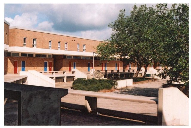
Stewards Academy

Stewards Academy (formerly Stewards Schools) is an 11–16 mixed secondary school with academy status in Harlow, Essex, England. == References == == External... ==

Jacks Hatch

Jacks Hatch (also spelt Jack's Hatch), is a hamlet in the Epping Upland civil parish of the Epping Forest district of Essex, England. Jacks Hatch is 1...

Epping Green, Essex

Epping Green is a village in the civil parish of Epping Upland and Epping Forest district of Essex, England, situated on the B181 road between Epping and...

Latton Priory

Latton Priory was a small priory in Essex, England. Its site is about 1 km south of the outskirts of the modern town of Harlow. The priory was founded...
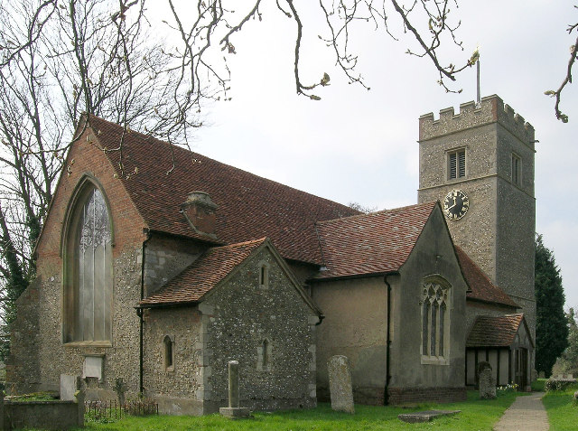
Great Parndon

Great Parndon is an area and former civil parish in Essex, England, that has been absorbed by the new town of Harlow and is now an electoral ward. It had...

Hawkenbury Meadow

Hawkenbury Meadow is a 1.6 hectare Local Nature Reserve in Harlow in Essex. It is owned and managed by Harlow District Council.The site is neutral grassland...

Epping Upland

Epping Upland is a village and civil parish in the Epping Forest district of Essex, England.The village is situated on the B181 road, approximately 3 miles...

Nearby Amenities

Located within 500m of 51.741546,0.092679864
Created By: YahooApplet 1.0
Lat/Long: 51.7434504/0.0973201
Parndon Wood Nature Reserve Information
Tourism: information
Lat/Long: 51.7449594/0.0911988
Parking
Lat/Long: 51.7449677/0.0906032
Rye Hill Water & Comm Tower
Man Made: tower
Source: visit
Lat/Long: 51.7399168/0.0975073
Noexit: yes
Lat/Long: 51.7390121/0.0894599
Noexit: yes
Lat/Long: 51.7388167/0.0884593
Bench
Lat/Long: 51.7418751/0.0889269
Bench
Lat/Long: 51.7418933/0.0890342
Bench
Lat/Long: 51.7419066/0.0890986
Toilets
Lat/Long: 51.7417612/0.0897018
Noexit: yes
Lat/Long: 51.742953/0.0901875
Noexit: yes
Lat/Long: 51.7390793/0.0895202
Entrance: yes
Lat/Long: 51.7417589/0.0892936
Barrier: yes
Lat/Long: 51.7458308/0.0941791
Barrier: cycle_barrier
Lat/Long: 51.7452183/0.0886403
Barrier: cycle_barrier
Lat/Long: 51.745145/0.0885646
Noexit: yes
Lat/Long: 51.7404035/0.09015
Entrance: yes
Lat/Long: 51.741768/0.0895139
The data included in this document is from www.openstreetmap.org. The data is made available under ODbL.

Have you been to Parndon Wood?

Leave your review of Parndon Wood below (or comments, questions and feedback).