The Rookery
Wood, Forest in Kent
England
The Rookery
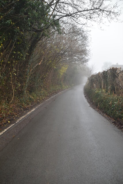
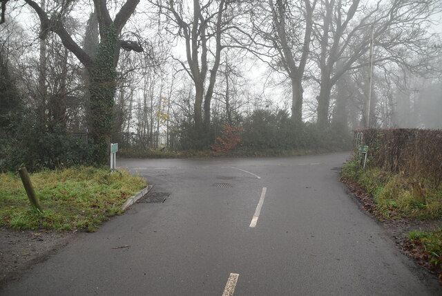
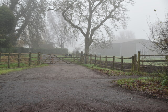
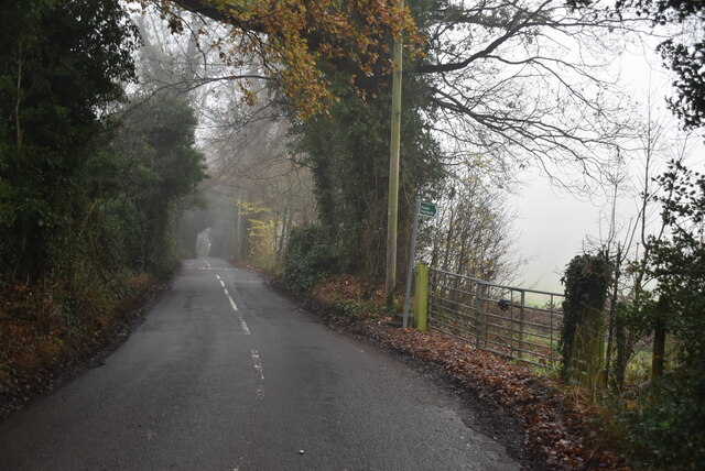
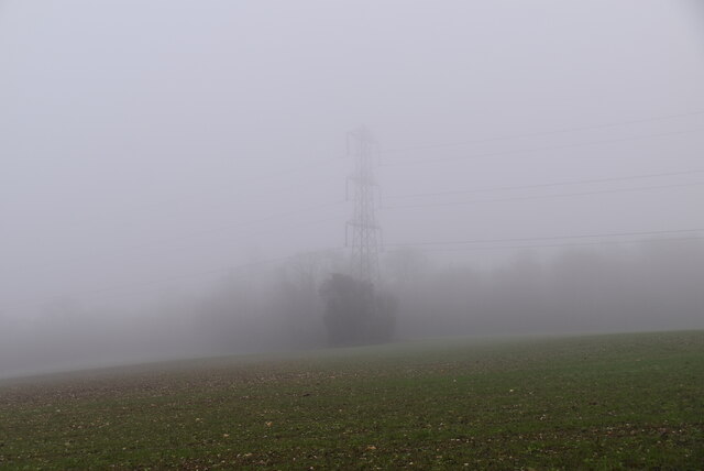
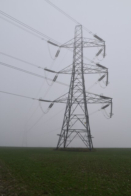
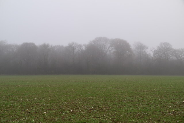
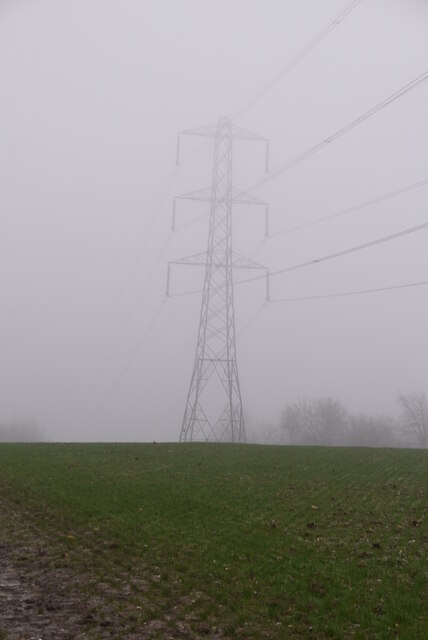
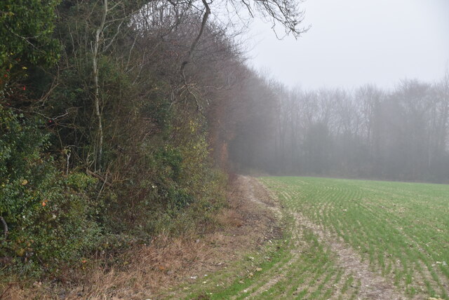
The Rookery, located in Kent, England, is a picturesque woodland area nestled within a dense forest. Spanning over a vast expanse, it is a haven for nature enthusiasts and those seeking a serene escape from the bustling city life. The Rookery is known for its stunning natural beauty, offering visitors a unique opportunity to immerse themselves in the tranquility of the woodlands.
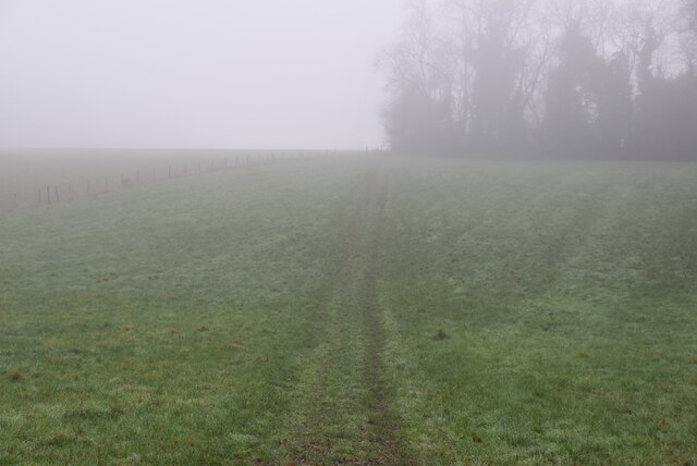
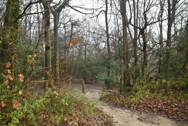
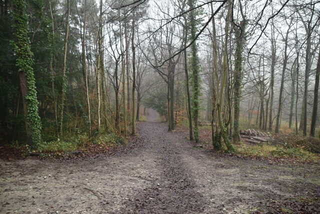
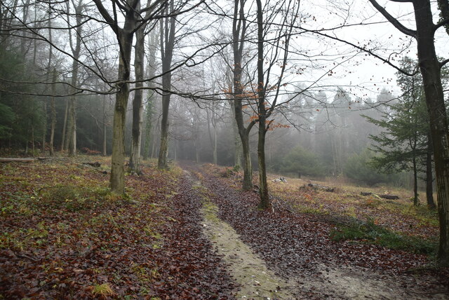
The forest is home to a diverse array of flora and fauna. Towering oak and beech trees dominate the landscape, their canopies creating a soothing shade that invites visitors to wander along the well-maintained trails. The forest floor is carpeted with a rich tapestry of vibrant wildflowers, adding bursts of color to the surroundings. The air is filled with the sweet scent of wild herbs and the gentle chirping of birds, creating a truly enchanting atmosphere.
The Rookery is also home to a variety of wildlife. Deer roam freely, their graceful presence adding to the serene ambiance of the forest. The forest is also a haven for numerous bird species, making it a popular spot for birdwatching enthusiasts. Visitors may catch a glimpse of a majestic owl perched on a branch or hear the distinctive tapping of a woodpecker in the distance.
For those seeking outdoor activities, The Rookery offers ample opportunities for walking, hiking, and picnicking. The well-marked trails cater to all levels of fitness, ensuring that visitors can explore the woodland at their own pace. There are also designated picnic areas where visitors can relax and enjoy a meal amidst the tranquility of nature.
Overall, The Rookery in Kent is a hidden gem, offering a peaceful retreat for nature lovers and a chance to reconnect with the beauty of the natural world.
If you have any feedback on the listing, please let us know in the comments section below.
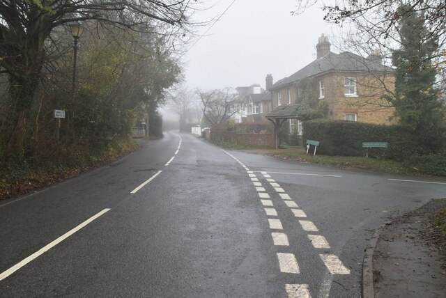
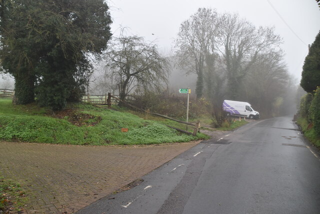
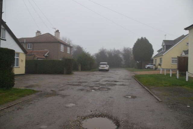
The Rookery Images
Images are sourced within 2km of 51.347334/0.074812869 or Grid Reference TQ4462. Thanks to Geograph Open Source API. All images are credited.


The Rookery is located at Grid Ref: TQ4462 (Lat: 51.347334, Lng: 0.074812869)
Unitary Authority: Bromley
Police Authority: Metropolitan
What 3 Words
///forks.common.riots. Near Farnborough, London
Nearby Locations
Related Wikis

High Elms Country Park
High Elms Country Park is an extensive 250-acre (100 ha) public park on the North Downs in Farnborough in the London Borough of Bromley. It is a Local...

Green Street Green
Green Street Green is an area in south-east London, located in the London Borough of Bromley and, prior to 1965, in the historic county of Kent. It is...

Orpington (UK Parliament constituency)
Orpington is a constituency created in 1945 and represented in the House of Commons of the UK Parliament since 2019 by Gareth Bacon, a Conservative. It...

Farnborough, London
Farnborough is a village in south-eastern Greater London, England, and prior to 1965, in the historic county of Kent. Situated south of Locksbottom, west...

Hazelwood, London
Hazelwood is a hamlet in Greater London, England. It is located within the London Borough of Bromley, to the east of Downe. == References ==

London Borough of Bromley
The London Borough of Bromley ( ) is the largest and southeasternmost of the London boroughs that make up Greater London, bordering the ceremonial county...

St Mary's Church, Downe
St Mary's Church in the village of Downe, Bromley (formerly Kent) is the Church of England Parish Church for the parish of Downe. It is a Grade II* listed...

Elinor Darwin
Elinor Mary Darwin (née Monsell; 1879–1954) was an Irish born illustrator, engraver and portrait painter. Her illustrations were included in several of...
Nearby Amenities
Located within 500m of 51.347334,0.074812869Have you been to The Rookery?
Leave your review of The Rookery below (or comments, questions and feedback).