Foxearth Wood
Wood, Forest in Sussex Wealden
England
Foxearth Wood

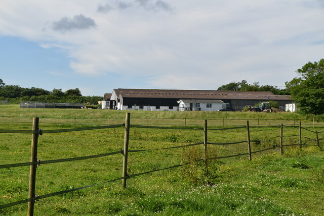
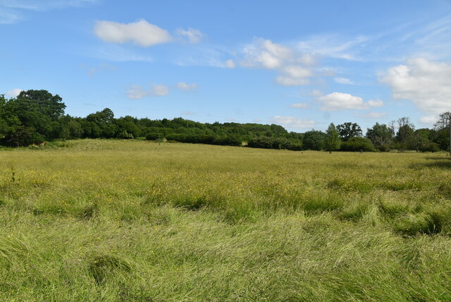
Foxearth Wood is a picturesque woodland located in Sussex, England. Spanning over a vast area of lush greenery, this forest is a haven for nature enthusiasts and those seeking tranquility amidst the beauty of the countryside.
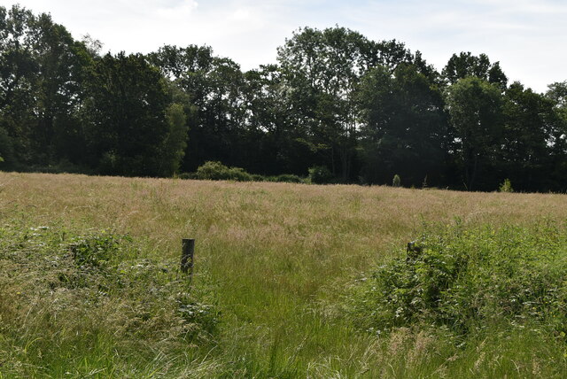
The wood is predominantly made up of deciduous trees such as oak, beech, and birch, which create a stunning canopy that filters the sunlight and casts dappled shadows on the forest floor. The area is also dotted with occasional coniferous trees, adding further variety to the landscape. This mix of tree species provides a diverse habitat for a wide range of flora and fauna.
The forest floor is carpeted with a rich layer of moss, ferns, and wildflowers, creating a vibrant tapestry of colors and textures. A network of well-maintained footpaths winds through the wood, allowing visitors to explore its hidden corners and discover its hidden treasures.
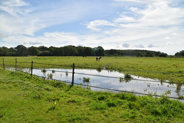
Foxearth Wood is home to an array of wildlife, including deer, foxes, badgers, and a variety of bird species. Birdwatchers can spot woodpeckers, owls, and various songbirds in the tree branches, while the lucky observer may catch a glimpse of a majestic stag or a playful fox.
The wood is a popular destination for hikers, nature photographers, and families looking for a day out in nature. It offers a peaceful retreat from the hustle and bustle of city life, inviting visitors to reconnect with nature and immerse themselves in its beauty. Whether it's a leisurely stroll, a picnic in the shade, or simply sitting quietly and listening to the sounds of the woodland, Foxearth Wood offers an idyllic escape into the heart of nature.
If you have any feedback on the listing, please let us know in the comments section below.
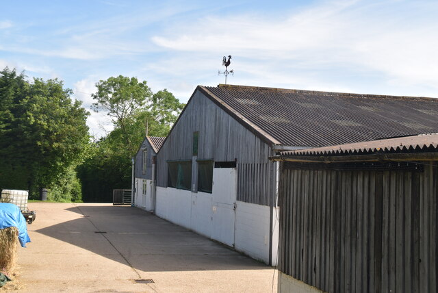
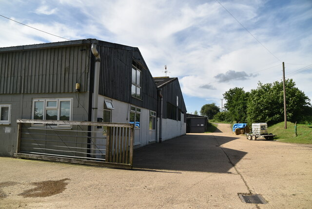
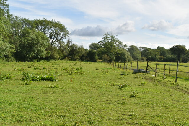
Foxearth Wood Images
Images are sourced within 2km of 50.955984/0.057474865 or Grid Reference TQ4419. Thanks to Geograph Open Source API. All images are credited.


Foxearth Wood is located at Grid Ref: TQ4419 (Lat: 50.955984, Lng: 0.057474865)
Administrative County: East Sussex
District: Wealden
Police Authority: Sussex
What 3 Words
///handover.snappy.nests. Near Uckfield, East Sussex
Nearby Locations
Related Wikis

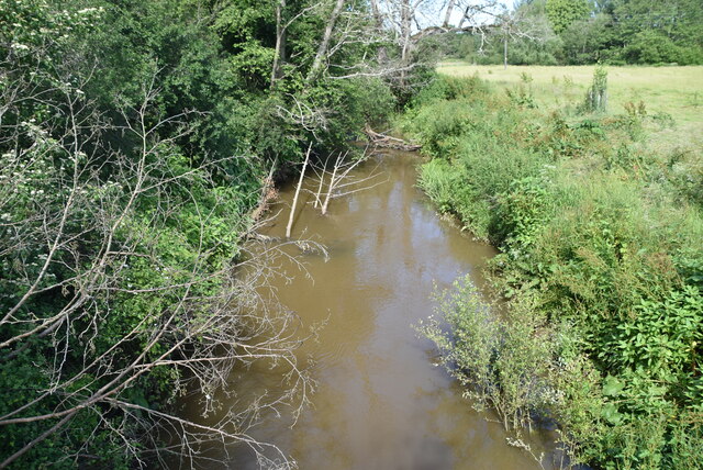
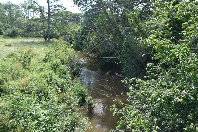
River Uck
The River Uck is a river in East Sussex, United Kingdom, which drains a catchment starting near Crowborough in the North, Hadlow Down to the East and Laughton...

Isfield railway station
Isfield is a preserved railway station on the closed section of the Wealden Line which served the East Sussex village of Isfield near Uckfield. Originally...

Lavender Line
The Lavender Line is a heritage railway based at Isfield Station, near Uckfield in East Sussex, England. == History == The Lavender Line was originally...

Little Horsted
Little Horsted (also known as Horsted Parva) is a village and civil parish in the Wealden district of East Sussex, England. It is located two miles (3...

Horsted Place
Horsted Place is a Tudor Revival country house, now a hotel, in Little Horsted, East Sussex, England. The current building dates to 1850, when it was built...

West Park, Uckfield
West Park is a 10.5-hectare (26-acre) Local Nature Reserve on the western outskirts of Uckfield in East Sussex. It is owned and managed by Uckfield Town...

Uckfield Town F.C.
Uckfield Town F.C. was a football club based in Uckfield, East Sussex, England. For their final season, 2013–14, they were members of the Sussex County...

Isfield
Isfield is a small village and civil parish in the Wealden District of East Sussex in England, located north-east of Lewes. == History == The village of...
Nearby Amenities
Located within 500m of 50.955984,0.057474865Have you been to Foxearth Wood?
Leave your review of Foxearth Wood below (or comments, questions and feedback).