Wainfleet St Mary Fen
Downs, Moorland in Lincolnshire East Lindsey
England
Wainfleet St Mary Fen
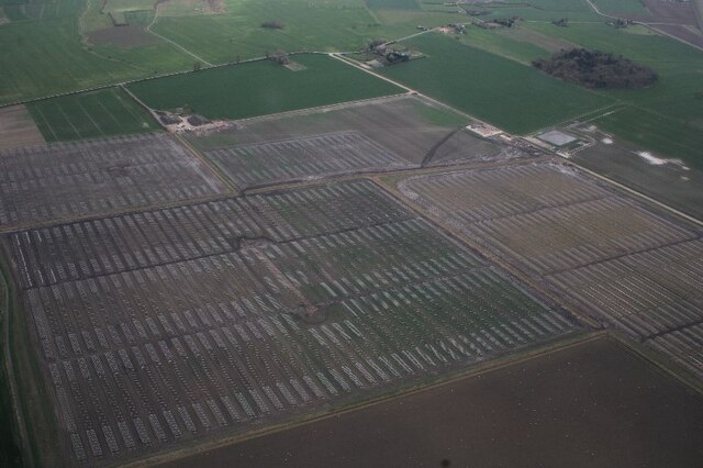
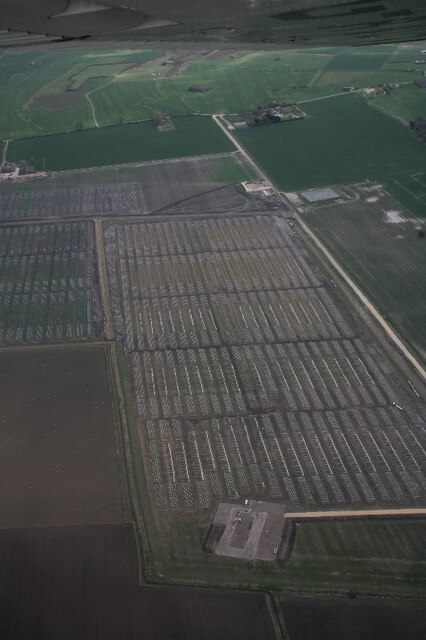
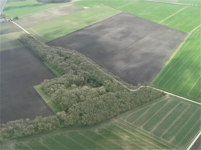
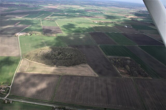
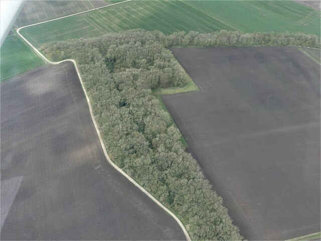
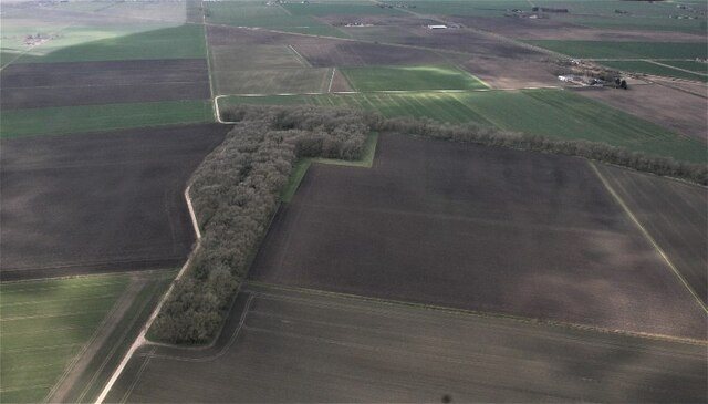
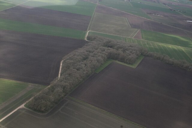
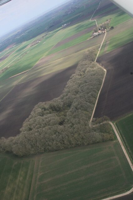
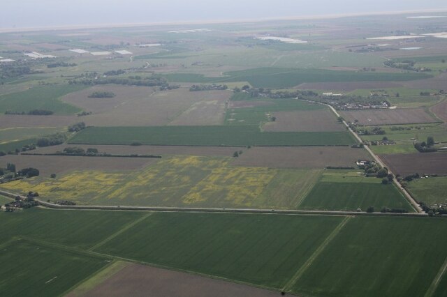
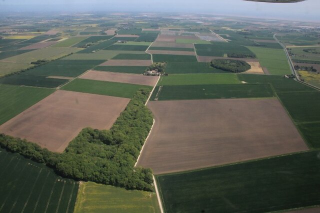
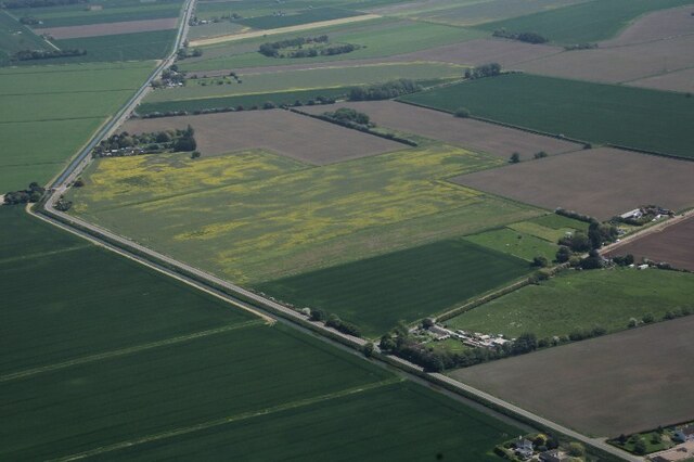
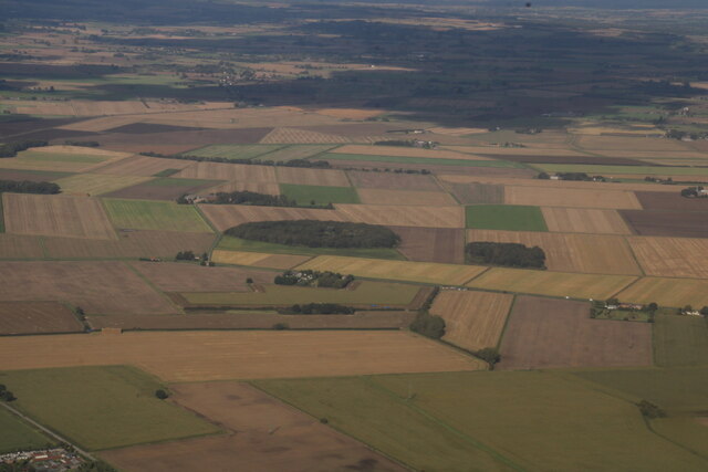
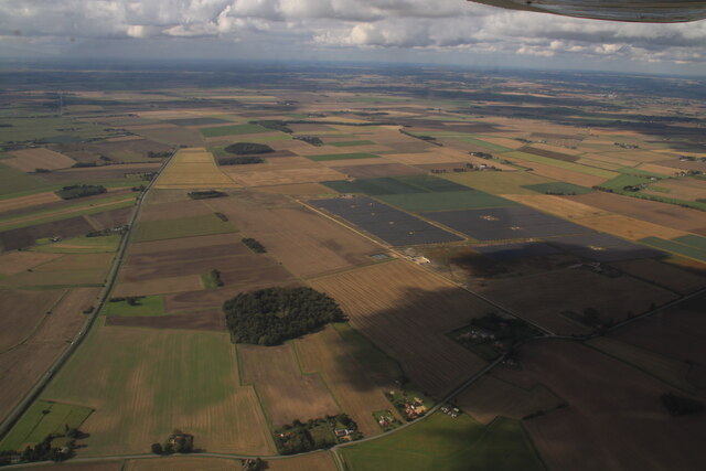
Wainfleet St Mary Fen is a vast, low-lying expanse of land located in the county of Lincolnshire, England. Situated near the town of Wainfleet All Saints, it covers an area of approximately 3,000 hectares. The fen is characterized by its flat terrain and its close proximity to the coast, being just a few miles away from The Wash, a large estuary on the east coast of England.
The fen is predominantly made up of marshland, wet meadows, and open water areas, creating a diverse ecosystem that supports a wide range of plant and animal species. It is home to various wetland birds, including rare species such as the bittern and the marsh harrier. Additionally, the fen serves as an important breeding ground for many migratory bird species.
The landscape of Wainfleet St Mary Fen is heavily influenced by its unique geological history. It was formed during the last ice age, as the retreat of glaciers left behind a depression that eventually became a wetland area. Over time, the fen has been managed and shaped by humans through drainage systems and water control structures, allowing for agricultural use and flood prevention.
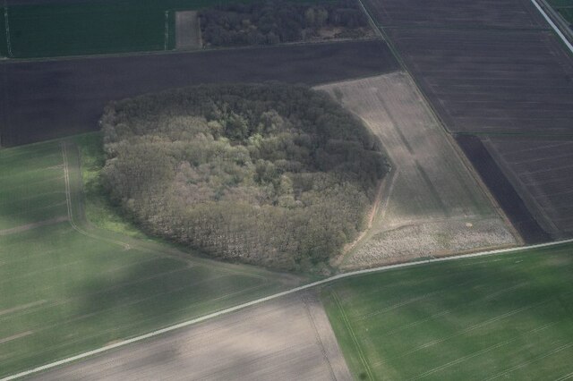
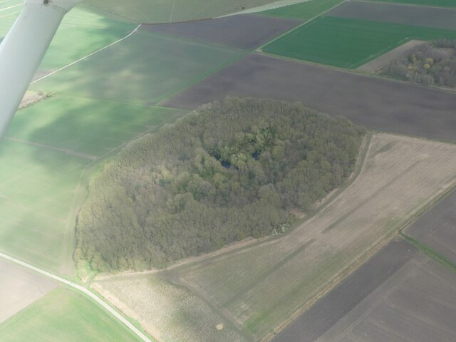
Visitors to Wainfleet St Mary Fen can explore the area through a network of footpaths and trails, providing an opportunity to observe the diverse wildlife and appreciate the natural beauty of the landscape. The fen is also an important site for conservation efforts, with ongoing projects aimed at preserving and enhancing the habitat for the benefit of both wildlife and local communities.
If you have any feedback on the listing, please let us know in the comments section below.
Wainfleet St Mary Fen Images
Images are sourced within 2km of 53.103879/0.16051884 or Grid Reference TF4458. Thanks to Geograph Open Source API. All images are credited.


Wainfleet St Mary Fen is located at Grid Ref: TF4458 (Lat: 53.103879, Lng: 0.16051884)
Administrative County: Lincolnshire
District: East Lindsey
Police Authority: Lincolnshire
What 3 Words
///noise.provide.clogging. Near Wainfleet All Saints, Lincolnshire
Nearby Locations
Related Wikis
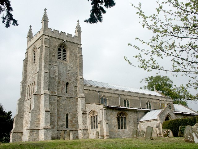
Wainfleet St Mary
Wainfleet St Mary is a village and civil parish in the East Lindsey district of Lincolnshire, England. It is situated directly south of Wainfleet All Saints...

Little Steeping railway station
Little Steeping was a railway station on the East Lincolnshire Railway which served the hamlet of Little Steeping in Lincolnshire between 1848 and 1964...

Friskney
Friskney is a village and civil parish within the East Lindsey district of Lincolnshire, England.The parish includes the settlement of Friskney Eaudyke...

Thorpe Culvert railway station
Thorpe Culvert railway station serves the village of Thorpe St Peter in Lincolnshire, England. It is situated 7 miles (11 km) from Skegness and 16.75 miles...

Friskney Eaudyke
Friskney Eaudyke is a settlement in the civil parish of Friskney, and the East Lindsey district of Lincolnshire, England. It is 11 miles (20 km) north...
Thorpe St Peter
Thorpe St Peter is a village and civil parish in the East Lindsey district of Lincolnshire, England, about 1 mile (1.6 km) north-west from the town of...
Little Steeping
Little Steeping is a village and civil parish in the East Lindsey district of Lincolnshire, England, about 3 miles (5 km) south-east from the town of Spilsby...

East Ville railway station
East Ville was a railway station on the East Lincolnshire Railway which served the village of Eastville in Lincolnshire between 1848 and 1964. It originally...
Have you been to Wainfleet St Mary Fen?
Leave your review of Wainfleet St Mary Fen below (or comments, questions and feedback).