Pilt Down

Downs, Moorland in Sussex Wealden

England

Pilt Down

New roundabout east of Maresfield
New roundabout east of Maresfield Credit: nick macneill

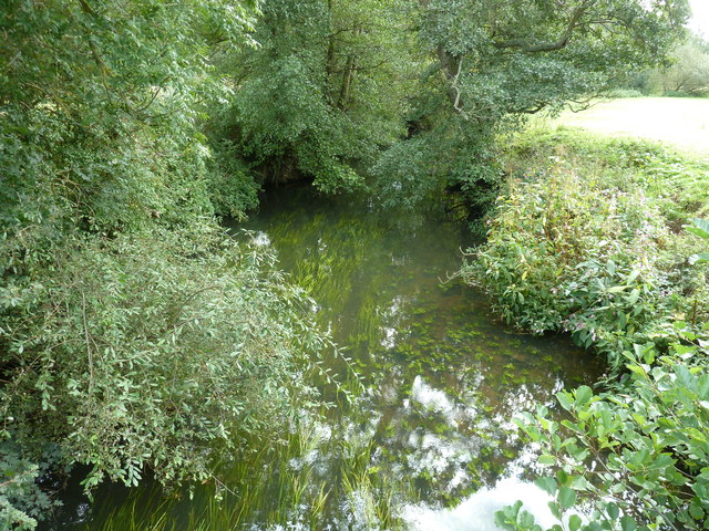
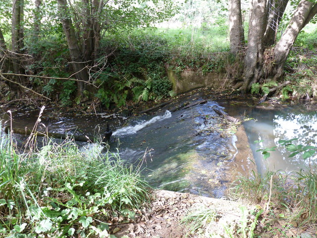
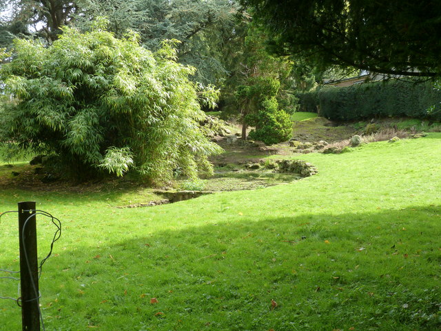
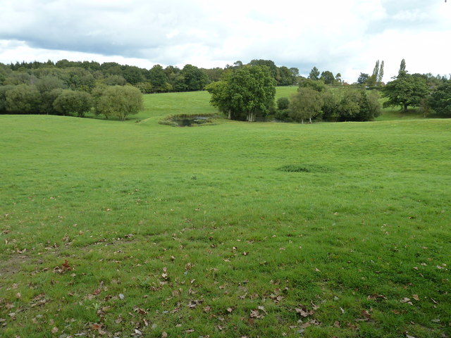
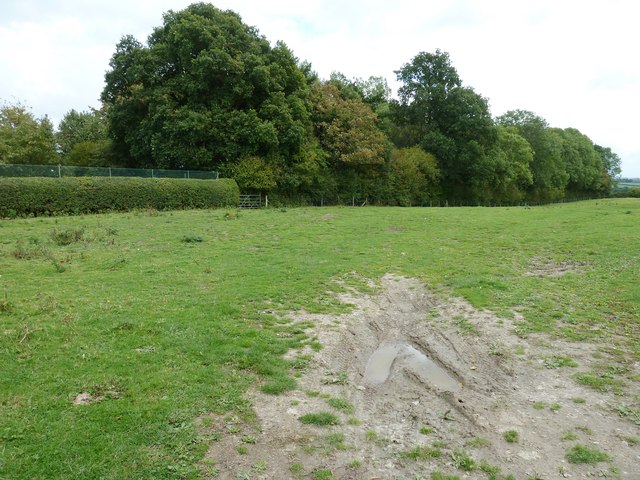
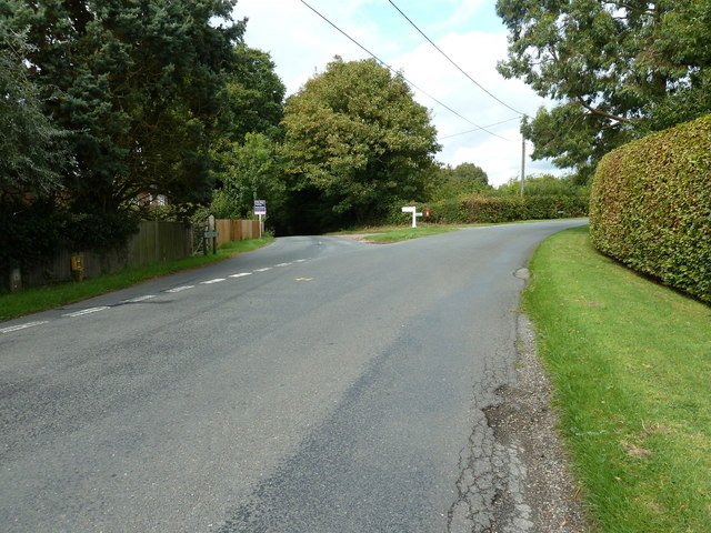
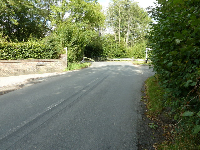
Piltdown is a small village located in East Sussex, England, nestled within the picturesque countryside of the Sussex Downs. This charming village is known for its idyllic setting, characterized by rolling hills, lush meadows, and enchanting woodlands. Its tranquil atmosphere makes it an ideal destination for those seeking a peaceful and scenic retreat.

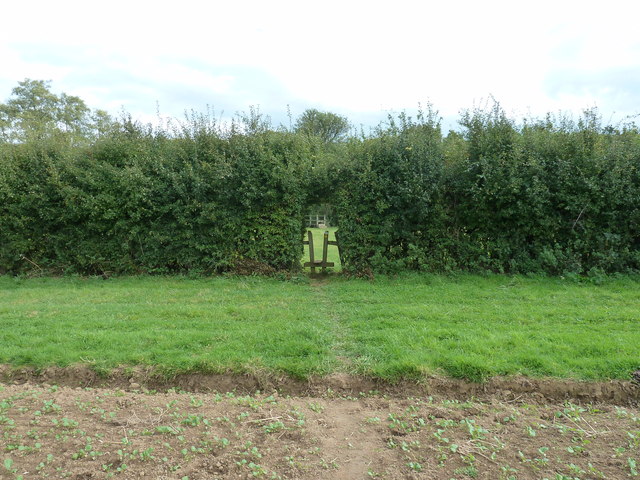
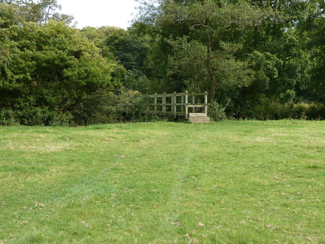
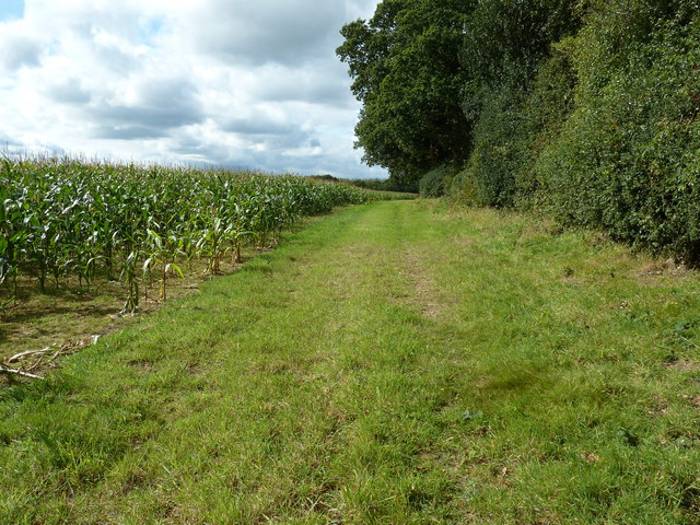
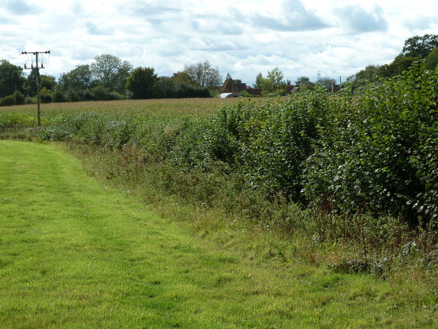
The village of Piltdown is situated on the edge of the Ashdown Forest, an extensive area of moorland famous for its diverse wildlife and natural beauty. This unique landscape offers visitors the opportunity to explore the vast open spaces and immerse themselves in the peacefulness of nature.

Piltdown is renowned for its rich history and archaeological significance. It gained international attention in 1912 when the Piltdown Man, a supposed missing link between apes and humans, was discovered by Charles Dawson and Arthur Smith Woodward. The discovery was later exposed as a fraudulent hoax, but it still remains a fascinating part of Piltdown's history.

The village itself is small and quaint, with charming cottages and a handful of local amenities. The nearby town of Uckfield provides additional services and amenities, including shops, restaurants, and accommodation options, making it a convenient base for visitors.

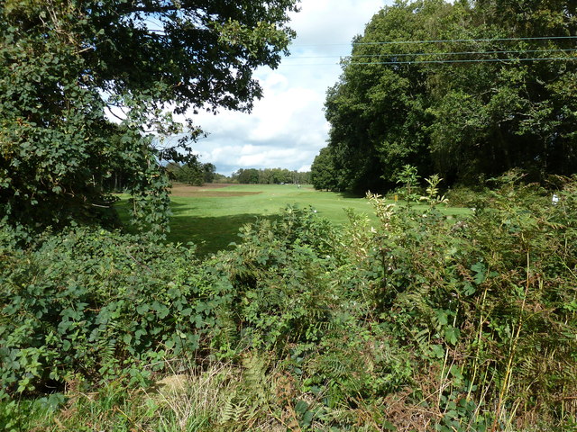
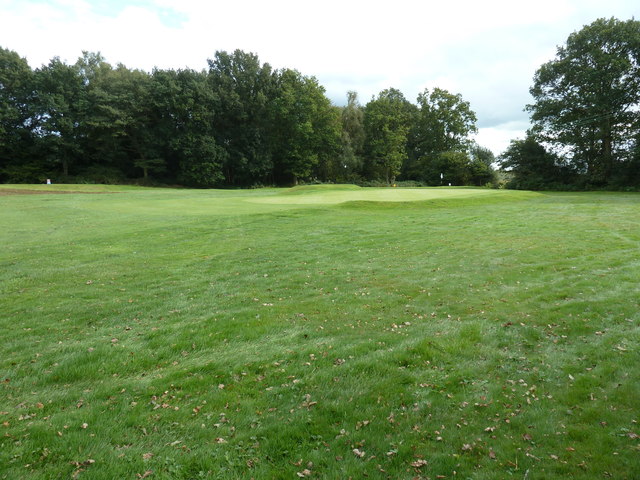
Piltdown offers a range of outdoor activities for nature enthusiasts, including hiking, cycling, and birdwatching. The area is also dotted with historic sites, such as Piltdown Pond and the Piltdown Golf Club, which add to the village's charm and appeal.

Overall, Piltdown is a hidden gem in the Sussex countryside, offering visitors a serene and picturesque experience amidst its stunning natural surroundings.

If you have any feedback on the listing, please let us know in the comments section below.
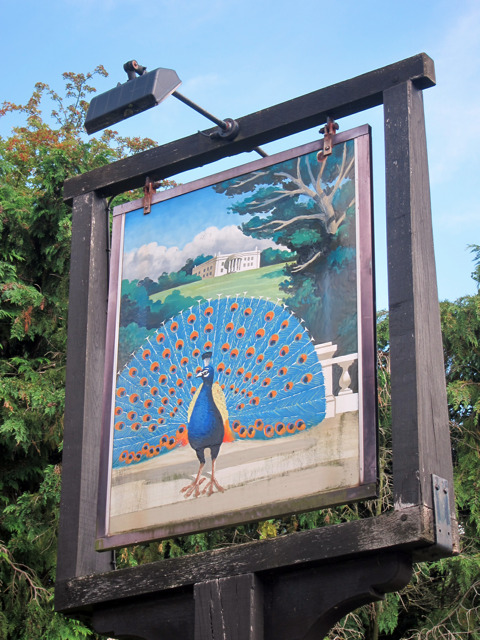
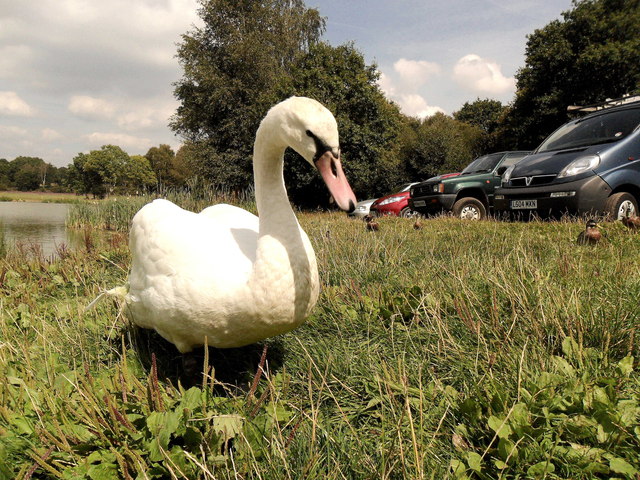
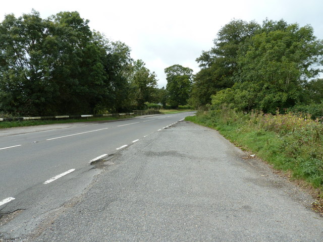
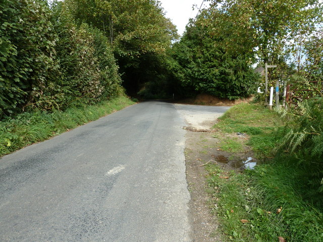
Pilt Down Images

Images are sourced within 2km of 50.981377/0.057713997 or Grid Reference TQ4422. Thanks to Geograph Open Source API. All images are credited.

New roundabout east of Maresfield
Friendly swan by Piltdown Pond, East Sussex
Gold Bridge near Newick Carrying the A272 over the River Ouse.
Gold Bridge near Newick
Carrying the A272 over the River Ouse.
Footpath sign on Sharpsbridge Lane
Keyhole stile in hedge near Sharpsbridge Farm
Footbridge over the River Ouse near Sharpsbridge
A clear flowing River Ouse
Weir on Shortbridge Stream Before its confluence with the River Ouse.
Weir on Shortbridge Stream
Before its confluence with the River Ouse.
Rock garden at Hippocrene Farm Next to Buckham Hill House.
Rock garden at Hippocrene Farm
Next to Buckham Hill House.
Pond on the slope of Buckham Hill The path of an old Roman Road skirts the left hand edge of the pond.
Pond on the slope of Buckham Hill
The path of an old Roman Road skirts the left hand edge of the pond.
Tree line following the path of an unfinished railway The planned route was from the Balcombe Viaduct to Uckfield but due to the collapse of a railway banking house, work stopped after only 9 months.
Tree line following the path of an unfinished railway
The planned route was from the Balcombe Viaduct to Uckfield but due to the collapse of a railway banking house, work stopped after only 9 months.
Lane junction at Buckham Hill Beeches Farm is by the hedge on the right.
Lane junction at Buckham Hill
Beeches Farm is by the hedge on the right.
Course of an old Roman Road at Shortbridge The road intersected the junction and carried on to Ashdown Forest. The skid marks were not from a chariot.
Course of an old Roman Road at Shortbridge
The road intersected the junction and carried on to Ashdown Forest. The skid marks were not from a chariot.
Maize field by footpath to Piltdown
Eleventh tee and fairway at Piltdown Golf Club
Oast house at Moon's Farm
Tenth green at Piltdown Golf Club
Show me another place!

Pilt Down is located at Grid Ref: TQ4422 (Lat: 50.981377, Lng: 0.057713997)

Administrative County: East Sussex

District: Wealden

Police Authority: Sussex

What 3 Words

///discount.spoons.simulations. Near Uckfield, East Sussex

Related Wikis

Piltdown

Piltdown is a series of hamlets in East Sussex, England, located south of Ashdown Forest. It is best known for the Piltdown Man hoax where amateur archaeologist...

Piltdown Man

The Piltdown Man was a paleoanthropological fraud in which bone fragments were presented as the fossilised remains of a previously unknown early human...

West Park, Uckfield

West Park is a 10.5-hectare (26-acre) Local Nature Reserve on the western outskirts of Uckfield in East Sussex. It is owned and managed by Uckfield Town...

Fletching, East Sussex

Fletching is a village and civil parish in the Wealden District of East Sussex, England. It is located three miles (4.8 km) to the north-west of Uckfield...

Newick

Newick is a village, civil parish and electoral ward in the Lewes District of East Sussex, England. It is located on the A272 road six miles (9.7 km) east...

A.F.C. Uckfield Town

A.F.C. Uckfield Town is a community football club based in Uckfield, East Sussex, England. They are currently members of the Southern Combination Premier...

A.F.C. Uckfield

Association Football Club Uckfield was a football club based in Uckfield, East Sussex, England. == History == The club was formed in 1988 as Wealden Football...

Copping Hall

Copping Hall is a Grade II* listed house in Uckfield, East Sussex, England. It is located at 1 Pudding Cake Lane, Uckfield, East Sussex TN22 1BT. Built...

Nearby Amenities

Located within 500m of 50.981377,0.057713997
Fuel
Piltdown Service Station
Addr City: Piltdown
Addr Postcode: TN22 3XL
Addr Street: Goldbridge Road
Brand: Texaco
Brand Wikidata: Q775060
Fhrs Id: 620084
Source Addr: FHRS Open Data
Website: https://locations.valero.com/en-gb/LocationDetails/Index/HAYWARDS-HEATH-ROAD/0000886830
Lat/Long: 50.9820599/0.0513577
Post Box
Collection Times: Mo-Fr 16:45; Sa 09:00
Operator: Royal Mail
Post Box Type: lamp
Ref: TN22 23
Royal Cypher: EIIR
Royal Cypher Wikidata: Q33102113
Source: survey
Lat/Long: 50.9820668/0.050951
Telephone
Booth: KX100
Covered: booth
Payment Coins: no
Phone: +44 1825722378
Source: survey
Lat/Long: 50.9820494/0.0509169
Parking
Parking: layby
Lat/Long: 50.9821258/0.0511202
Premier Express
Brand: Premier Express
Brand Wikidata: Q7240340
Shop: convenience
Lat/Long: 50.9819949/0.051435
Piltdown
Place: village
Wikidata: Q7194524
Lat/Long: 50.9841369/0.0566429
Addr Housename: Piltdown Lodge
Building: house
Lat/Long: 50.9822186/0.0536575
Generator Method: photovoltaic
Generator Orientation: 160
Generator Output Electricity: yes
Generator Solar Modules: 9
Generator Source: solar
Generator Type: solar_photovoltaic_panel
Location: roof
Power: generator
Lat/Long: 50.9800251/0.0545052
Footpath
Information: guidepost
Tourism: information
Lat/Long: 50.9800172/0.0627262
Footpath
Information: guidepost
Tourism: information
Lat/Long: 50.9808175/0.0625966
Footpath
Information: guidepost
Tourism: information
Lat/Long: 50.9815721/0.06443
Footpath
Information: guidepost
Tourism: information
Lat/Long: 50.9812957/0.0610057
Footpath
Information: guidepost
Tourism: information
Lat/Long: 50.9805426/0.0589321
Footpath
Information: guidepost
Tourism: information
Lat/Long: 50.9811877/0.0586995
Footpath
Information: guidepost
Tourism: information
Lat/Long: 50.9823554/0.0615198
Footpath
Information: guidepost
Tourism: information
Lat/Long: 50.9834665/0.0622701
Footpath
Information: guidepost
Tourism: information
Lat/Long: 50.9825816/0.0592583
Footpath
Information: guidepost
Tourism: information
Lat/Long: 50.9830971/0.0594082
Footpath
Information: guidepost
Tourism: information
Lat/Long: 50.984031/0.0592927
Footpath
Information: guidepost
Tourism: information
Lat/Long: 50.9805537/0.0603095
Information: guidepost
Tourism: information
Lat/Long: 50.9791098/0.062065
The data included in this document is from www.openstreetmap.org. The data is made available under ODbL.

Have you been to Pilt Down?

Leave your review of Pilt Down below (or comments, questions and feedback).