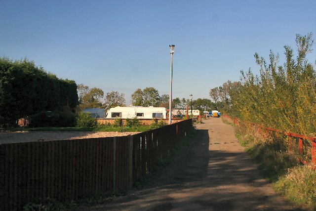
Appletree Home Park
Downs, Moorland in Cambridgeshire South Cambridgeshire
England
Appletree Home Park
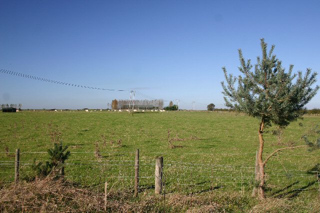
Appletree Home Park, located in Cambridgeshire, is a picturesque residential park nestled amidst the serene surroundings of Downs and Moorland. Spanning over a generous area, this park offers a tranquil and idyllic setting for its residents.
The park boasts a variety of residential properties, ranging from luxury lodges to modern mobile homes. Each unit is meticulously designed to provide comfort and convenience, with spacious interiors and well-maintained exteriors. The park offers both new and pre-owned homes, catering to a wide range of preferences and budgets.
Appletree Home Park is known for its commitment to creating a welcoming and inclusive community atmosphere. Residents can enjoy the benefits of a secure and gated environment, ensuring peace of mind and a sense of safety. The park also provides ample parking facilities for residents and visitors.
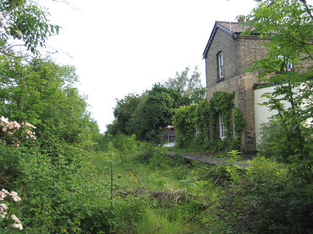
Surrounded by the breathtaking beauty of Downs and Moorland, the park offers residents a chance to immerse themselves in nature. The expansive green spaces and scenic landscapes provide an ideal backdrop for leisurely walks, picnics, or simply unwinding amidst the tranquility of the outdoors.
Moreover, the park enjoys excellent connectivity, with easy access to nearby towns and cities. Cambridgeshire's rich history, cultural attractions, and amenities are within reach, making it an ideal location for those seeking a balance between a peaceful rural setting and urban conveniences.
All in all, Appletree Home Park in Cambridgeshire offers a haven for those seeking a serene and comfortable residential community, surrounded by natural beauty and conveniently located near essential amenities.
If you have any feedback on the listing, please let us know in the comments section below.
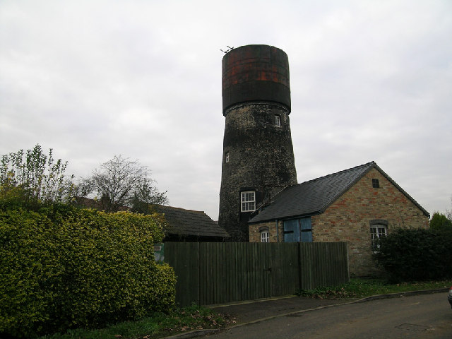
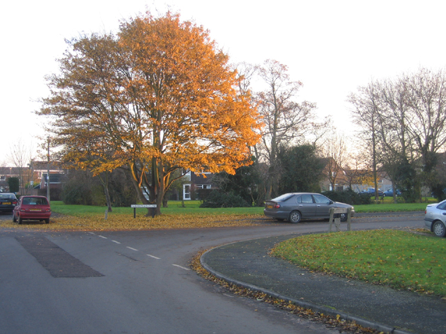
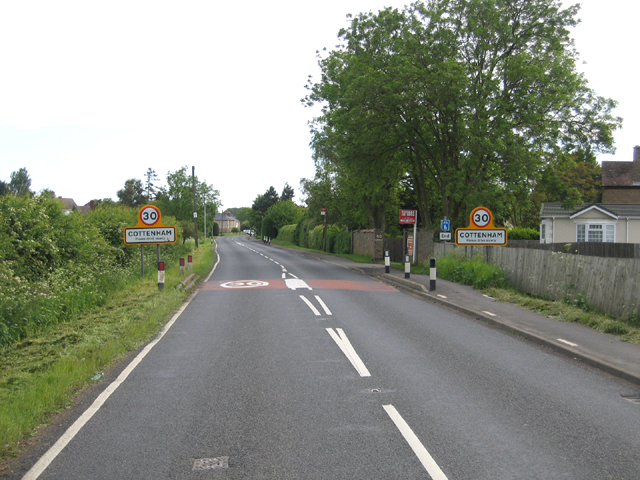
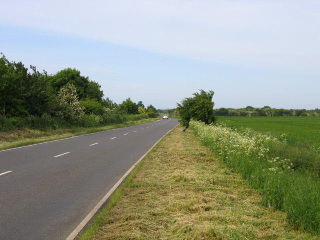
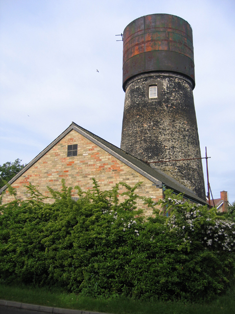
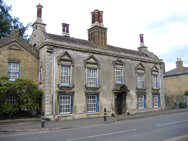
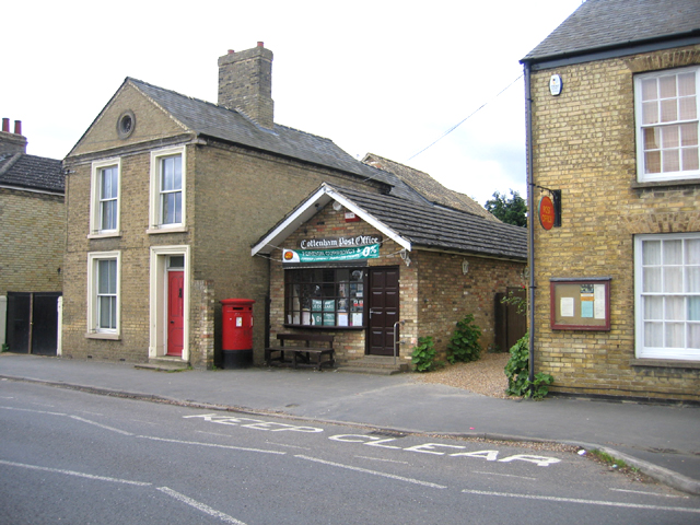
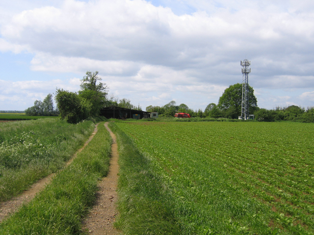
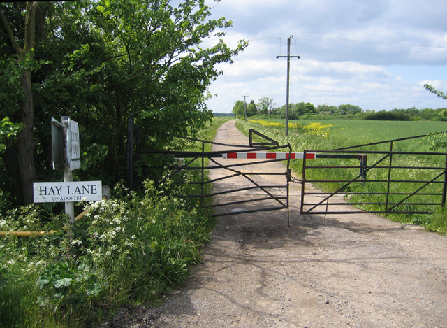
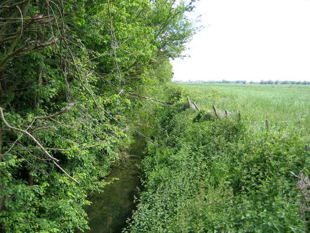
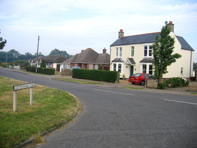
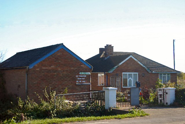
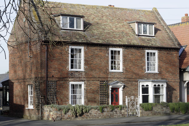
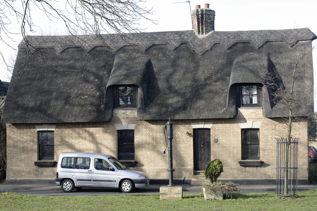
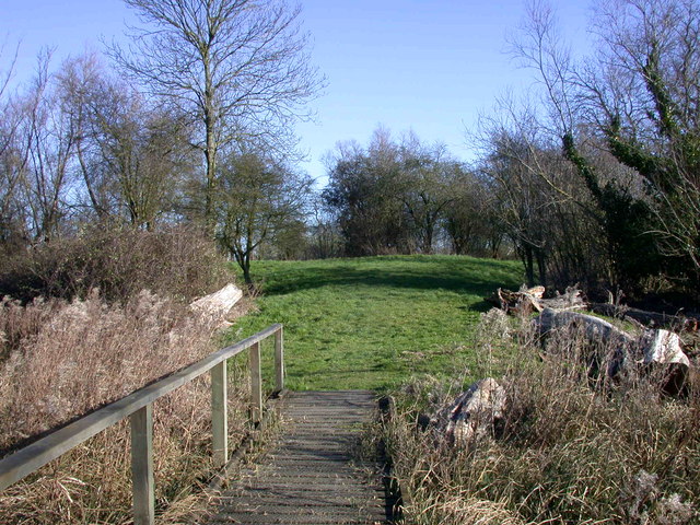
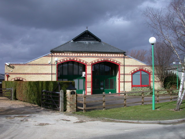
Appletree Home Park Images
Images are sourced within 2km of 52.273283/0.11705096 or Grid Reference TL4466. Thanks to Geograph Open Source API. All images are credited.
Appletree Home Park is located at Grid Ref: TL4466 (Lat: 52.273283, Lng: 0.11705096)
Administrative County: Cambridgeshire
District: South Cambridgeshire
Police Authority: Cambridgeshire
What 3 Words
///jubilant.guru.suiting. Near Cottenham, Cambridgeshire
Nearby Locations
Related Wikis

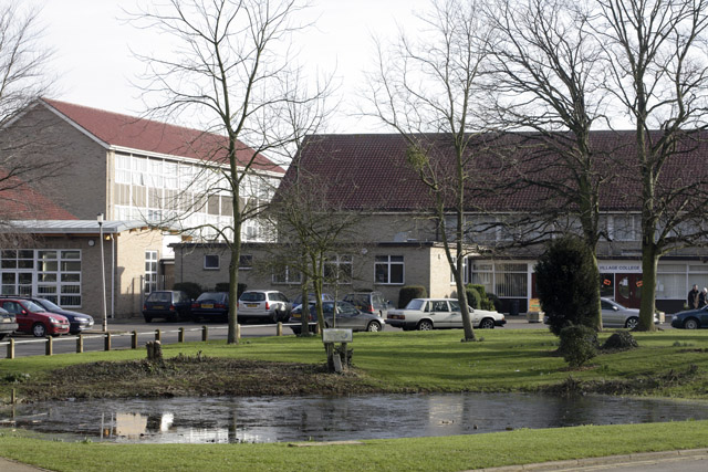
Cottenham Village College
Cottenham Village College is an academy school located in Cottenham, Cambridgeshire, England. The school offers secondary education to pupils from the...

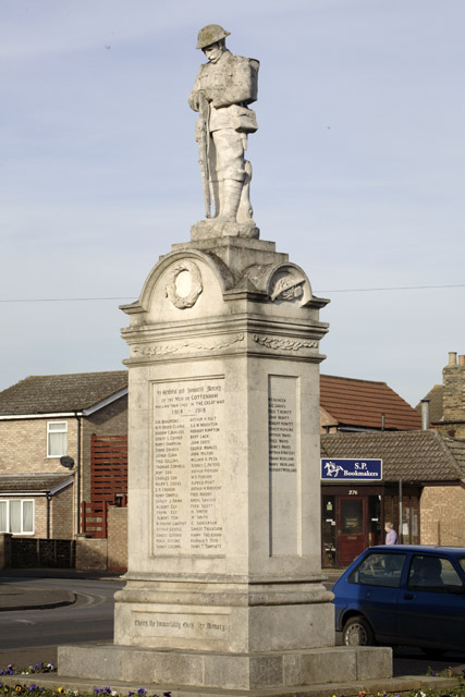
Cottenham
Cottenham is a village in Cambridgeshire, England. Cottenham is one of the larger villages surrounding the city of Cambridge, located around five miles...
Histon
Histon is a village and civil parish in the South Cambridgeshire district, in the county of Cambridgeshire, England. It is immediately north of Cambridge...
Rampton Castle
Rampton Castle, known locally as Giant's Hill, is the earthwork remains of a motte and bailey castle in Rampton, Cambridgeshire. It is believed that the...
Westwick, Cambridgeshire
Westwick is a hamlet and former civil parish, now in the parish of Oakington and Westwick, in the South Cambridgeshire district, in the county of Cambridgeshire...
Rampton, Cambridgeshire
Rampton is a village in Cambridgeshire, England, situated on the edge of The Fens six miles to the north of Cambridge. == History == The edge of the Fens...
Oakington railway station
Oakington railway station was a station in Oakington, Cambridgeshire, on the line between Cambridge and St Ives. It opened in 17 August 1847 and was closed...

Impington
Impington is a settlement and civil parish about 3 miles north of Cambridge city centre, in the South Cambridgeshire district, in the county of Cambridgeshire...
Nearby Amenities
Located within 500m of 52.273283,0.11705096Have you been to Appletree Home Park?
Leave your review of Appletree Home Park below (or comments, questions and feedback).