Piltdown Pond
Lake, Pool, Pond, Freshwater Marsh in Sussex Wealden
England
Piltdown Pond
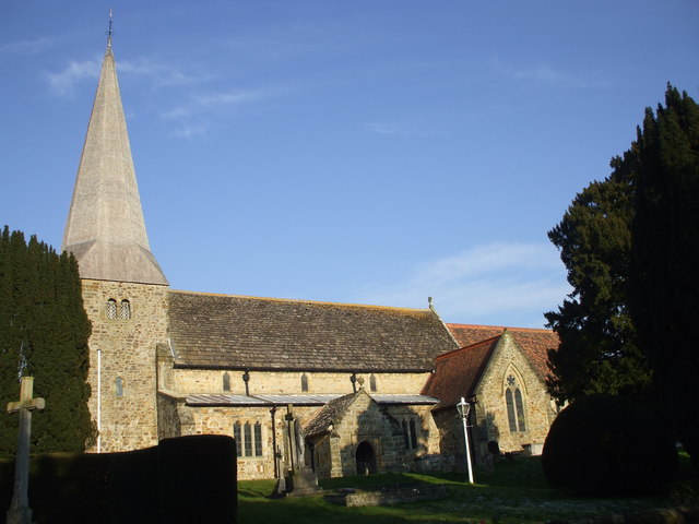
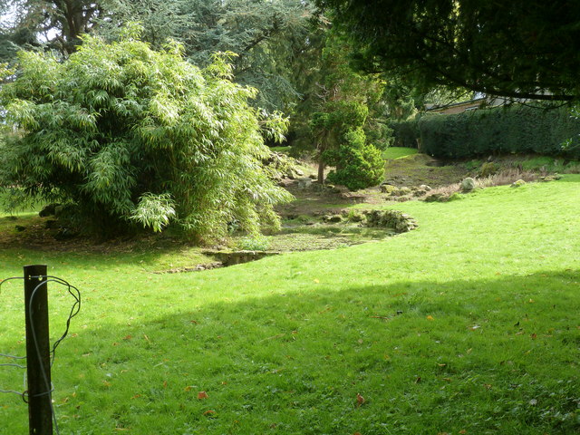
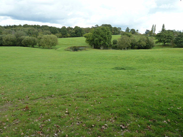
Piltdown Pond, located in Sussex, England, is a picturesque body of water encompassing a diverse ecosystem. Spanning over an area of approximately 10 acres, Piltdown Pond is a freshwater marsh that serves as a vital habitat for numerous plant and animal species.
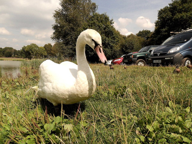
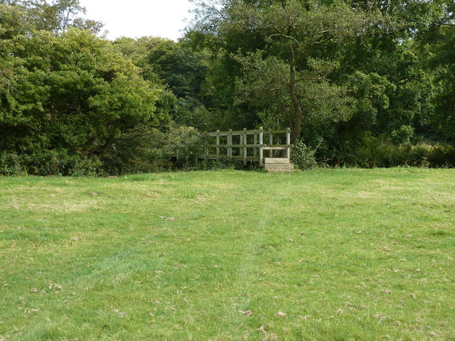
Surrounded by lush greenery and towering trees, the pond is a popular destination for nature enthusiasts and birdwatchers alike. It is home to a wide variety of bird species such as kingfishers, herons, and ducks, which can be observed gliding gracefully across the water or perched on the branches that overhang the pond's banks.
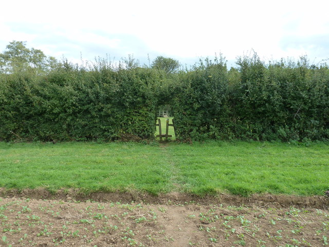
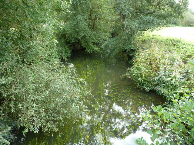
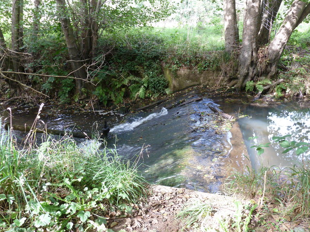
The pond itself is characterized by its calm, reflective surface, mirroring the surrounding scenery and creating a tranquil ambiance. Its water is clear and cool, harboring a diverse range of aquatic life including fish, frogs, and water insects. The pond's vegetation, including reeds, water lilies, and cattails, adds to its natural beauty and provides shelter for the inhabitants.
Adjacent to the pond, there is a well-maintained walking trail that allows visitors to explore the area and observe the wildlife up close. The trail is lined with informative signposts that provide details about the various species found in the area, making it an educational experience for nature lovers.
Piltdown Pond is not only a haven for wildlife but also a popular spot for recreational activities such as fishing and boating. Anglers can be seen casting their lines into the water, hoping to catch a variety of freshwater fish that reside in the pond.
Overall, Piltdown Pond is a remarkable freshwater marsh that offers both a serene natural environment and opportunities for outdoor activities, making it a cherished destination for both locals and tourists in Sussex.
If you have any feedback on the listing, please let us know in the comments section below.
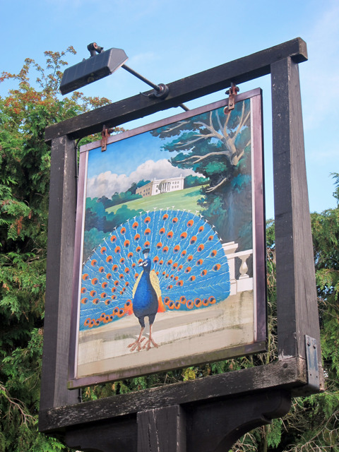
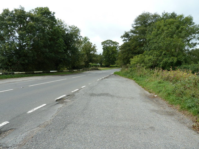
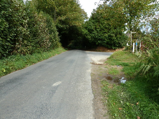
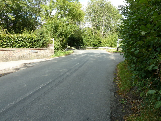
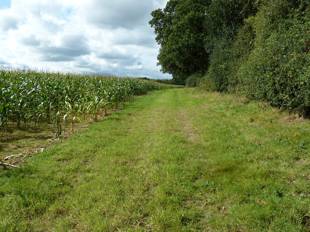
Piltdown Pond Images
Images are sourced within 2km of 50.981799/0.055239384 or Grid Reference TQ4422. Thanks to Geograph Open Source API. All images are credited.
Piltdown Pond is located at Grid Ref: TQ4422 (Lat: 50.981799, Lng: 0.055239384)
Administrative County: East Sussex
District: Wealden
Police Authority: Sussex
What 3 Words
///variously.family.trimmer. Near Newick, East Sussex
Nearby Locations
Related Wikis

Piltdown
Piltdown is a series of hamlets in East Sussex, England, located south of Ashdown Forest. It is best known for the Piltdown Man hoax where amateur archaeologist...

Piltdown Man
The Piltdown Man was a paleoanthropological fraud in which bone fragments were presented as the fossilised remains of a previously unknown early human...

Fletching, East Sussex
Fletching is a village and civil parish in the Wealden District of East Sussex, England. It is located three miles (4.8 km) to the north-west of Uckfield...

West Park, Uckfield
West Park is a 10.5-hectare (26-acre) Local Nature Reserve on the western outskirts of Uckfield in East Sussex. It is owned and managed by Uckfield Town...

Newick
Newick is a village, civil parish and electoral ward in the Lewes District of East Sussex, England. It is located on the A272 road six miles (9.7 km) east...

A.F.C. Uckfield Town
A.F.C. Uckfield Town is a community football club based in Uckfield, East Sussex, England. They are currently members of the Southern Combination Premier...
A.F.C. Uckfield
Association Football Club Uckfield was a football club based in Uckfield, East Sussex, England. == History == The club was formed in 1988 as Wealden Football...

Sheffield Park cricket ground
Sheffield Park is a cricket ground at the Sheffield Park estate, located near Uckfield, East Sussex, England. From 1881 to 1896 it was the home ground...
Related Videos

Exploring the Enchanting Fletching Village in Sussex: A Journey to the Real-Life Godric's Hollow
Welcome to the most captivating village in Sussex! In this video, join us as we immerse ourselves in the enchanting atmosphere of ...


23rd February 2024 River Ouse floods road again at Fletching bridge !
More video footage of this coming soon , please like and subscribe , it makes a huge improvement potential for this channel ...

Nearby Amenities
Located within 500m of 50.981799,0.055239384Have you been to Piltdown Pond?
Leave your review of Piltdown Pond below (or comments, questions and feedback).