Middle Field
Downs, Moorland in Lincolnshire South Holland
England
Middle Field

Middle Field is a picturesque region located in the county of Lincolnshire, England. Situated between the Downs and Moorland, it offers a breathtaking landscape that showcases the beauty of the surrounding natural environment. Spanning over a vast area, Middle Field is known for its rolling hills, lush meadows, and serene countryside.
The Downs, situated to the east of Middle Field, are characterized by their gentle slopes and open grasslands. This area is home to a diverse range of flora and fauna, including wildflowers, rabbits, and various bird species. The Downs provide a tranquil setting ideal for long walks, picnics, and enjoying panoramic views of the surrounding countryside.
On the other side of Middle Field lies the Moorland, a more rugged and untamed terrain. The Moorland is characterized by its heather-covered hills, scattered woodlands, and meandering streams. It is a haven for outdoor enthusiasts, offering opportunities for hiking, cycling, and birdwatching. The moors are also known for their rich biodiversity, with numerous rare plant species and a variety of wildlife, including deer and foxes.
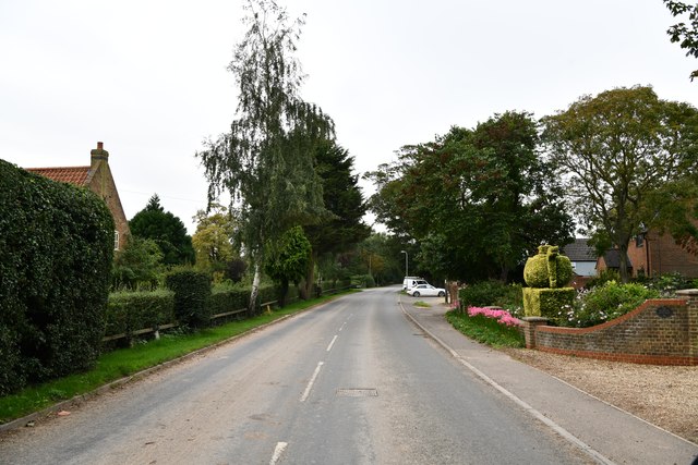
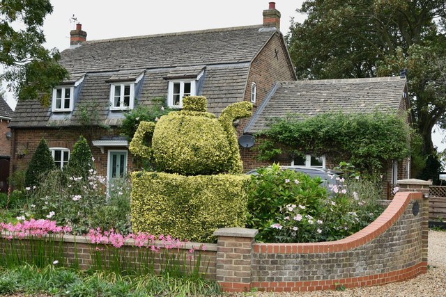
Middle Field itself is dotted with charming villages and hamlets, each with its unique character and history. These settlements offer a glimpse into rural life, with traditional cottages, local pubs, and village greens. The area is also known for its agricultural heritage, with farms and fields producing crops such as wheat, barley, and potatoes.
Overall, Middle Field in Lincolnshire is a captivating region that combines the tranquility of the Downs with the wild beauty of the Moorland. It is an ideal destination for nature lovers, outdoor enthusiasts, and those seeking a peaceful getaway amidst stunning natural surroundings.
If you have any feedback on the listing, please let us know in the comments section below.
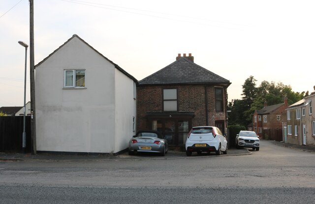
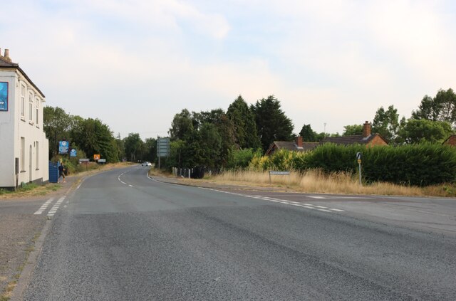
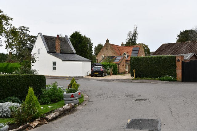
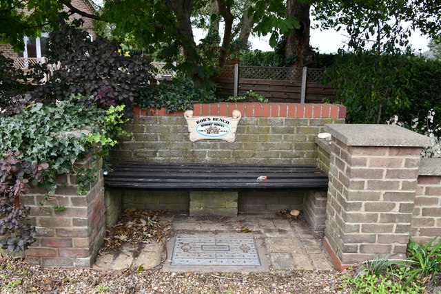
Middle Field Images
Images are sourced within 2km of 52.750112/0.13603692 or Grid Reference TF4419. Thanks to Geograph Open Source API. All images are credited.


Middle Field is located at Grid Ref: TF4419 (Lat: 52.750112, Lng: 0.13603692)
Administrative County: Lincolnshire
District: South Holland
Police Authority: Lincolnshire
What 3 Words
///cutback.decompose.joggers. Near Sutton Bridge, Lincolnshire
Nearby Locations
Related Wikis

Tydd St Mary
Tydd St Mary is a village and civil parish in the South Holland district of Lincolnshire, England, about 9 miles (14 km) east of the town of Spalding and...

Tydd Gote
Tydd Gote is an English village, partly, at the north, in the civil parish of Tydd St Mary of the South Holland District of Lincolnshire, and partly, at...

Four Gotes
Four Gotes is a hamlet in the civil parish of Tydd St Giles in Cambridgeshire, England. The population is included in the civil parish of Leverington....
Tydd railway station
Tydd railway station was a station, opened by the Peterborough, Wisbech and Sutton Bridge Railway on 1 August 1866, in Lincolnshire serving the villages...
Tydd St Giles
Tydd St Giles is a village in Fenland, Cambridgeshire, England. It is the northernmost village in the Isle of Ely, Cambridgeshire (bordering Lincolnshire...

Low Fulney
Low Fulney is a hamlet in the South Holland district of Lincolnshire, England. It is in the Spalding St. Paul's ward of the South Holland District Council...

Little Sutton, Lincolnshire
Little Sutton is a small civil parish, containing a few farms and a few houses, lying between the much larger parishes of Long Sutton and Sutton Bridge...
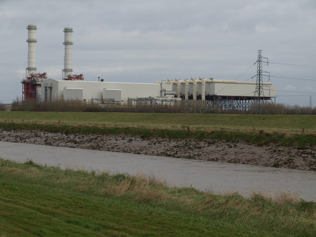
Sutton Bridge Power Station
Sutton Bridge Power Station is an 819 MW gas-fired power station in Sutton Bridge in the south-east of Lincolnshire in South Holland, England. It is situated...
Nearby Amenities
Located within 500m of 52.750112,0.13603692Have you been to Middle Field?
Leave your review of Middle Field below (or comments, questions and feedback).