Binnimoor Fen

Downs, Moorland in Cambridgeshire Fenland

England

Binnimoor Fen

March: Coleseed Road
March: Coleseed Road Credit: Michael Garlick

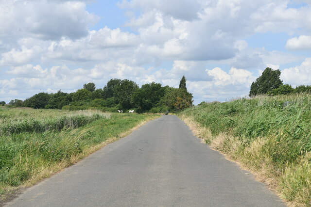
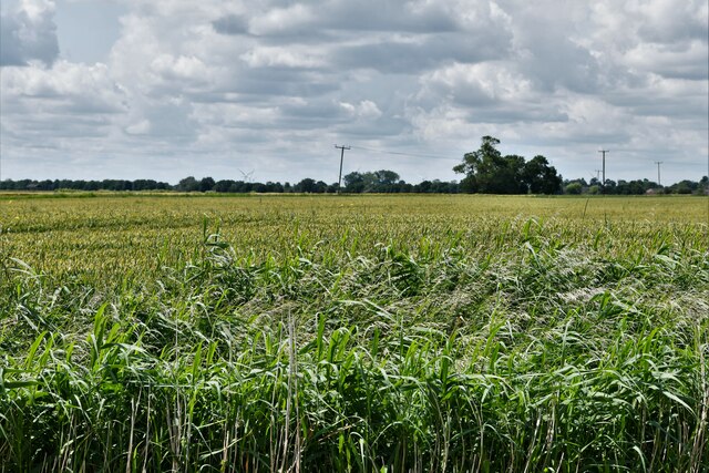
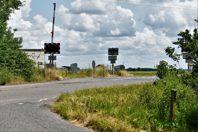
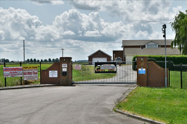
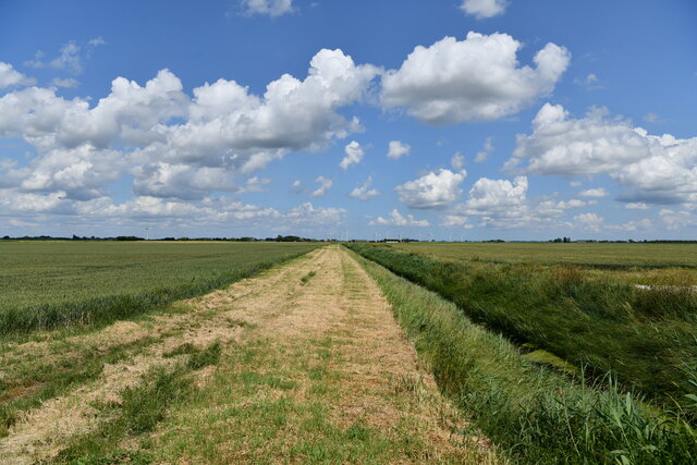
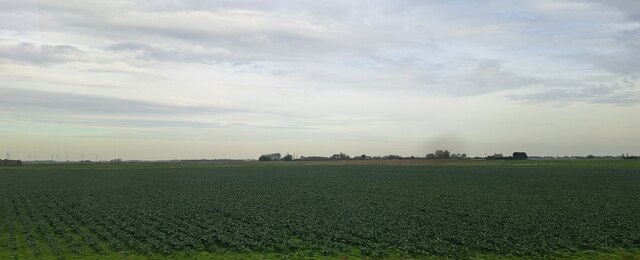
Binnimoor Fen is a picturesque area located in the county of Cambridgeshire, England. Situated within the larger Binnimoor Downs, it is a unique and diverse landscape that encompasses both moorland and fen habitats. Covering an area of approximately 200 acres, Binnimoor Fen is home to a wide range of flora and fauna, making it a haven for nature enthusiasts and wildlife lovers.

The fen part of Binnimoor Fen is characterized by its wet and marshy terrain, with an abundance of reeds, sedges, and other water-loving plants. This creates the perfect habitat for various bird species, including reed warblers, sedge warblers, and bitterns. The area also attracts a variety of dragonflies and butterflies, adding to its natural beauty.

In contrast, the moorland section of Binnimoor Fen offers a completely different landscape. Here, visitors can admire the stunning open expanses of heather-covered hills and valleys. This habitat supports a range of wildlife, including lizards, adders, and the elusive Dartford warbler. The moorland also provides a nesting site for ground-nesting birds like skylarks and meadow pipits.

Binnimoor Fen is a designated Site of Special Scientific Interest (SSSI) due to its ecological importance. It is managed by local conservation organizations, who work tirelessly to preserve and protect its unique habitats. Visitors to the area can explore the network of footpaths and enjoy the tranquility and natural beauty that Binnimoor Fen has to offer.

Overall, Binnimoor Fen is a hidden gem in Cambridgeshire, offering a fascinating blend of moorland and fen ecosystems. Its diverse range of flora and fauna make it a must-visit destination for anyone with an interest in the natural world.

If you have any feedback on the listing, please let us know in the comments section below.

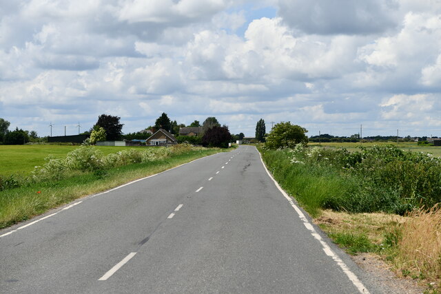
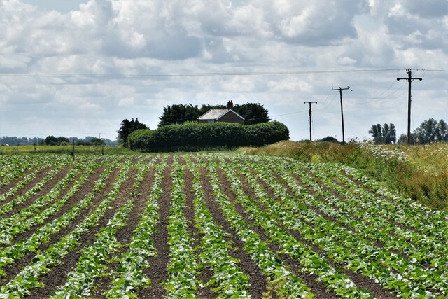
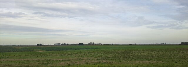
Binnimoor Fen Images

Images are sourced within 2km of 52.553129/0.12760652 or Grid Reference TL4497. Thanks to Geograph Open Source API. All images are credited.

March: Coleseed Road
March, Coleseed Road Crop
March: Upwell Road level crossing
March: Poplar Farm
March: Poplar Farm
March: Farm track and drainage ditch
March, Upwell Road
March, Upwell Road
March, Dextas Farm: Potato crop
March: Bedlam Corner Farm
March, Upwell Road
March, Upwell Road
Looking over farmland from the railway towards the Upwell Road
Looking over farmland from the railway towards the Upwell Road Poplar Farm can be seen in the centre of the picture, on the horizon.
Looking over farmland from the railway towards the Upwell Road
Poplar Farm can be seen in the centre of the picture, on the horizon.
Looking over farmland from the railway towards the Upwell Road Poplar Farm is visible on the extreme right.
Looking over farmland from the railway towards the Upwell Road
Poplar Farm is visible on the extreme right.
Looking over farmland from the railway towards houses on Binnimoor Road The contour lines in this area of the map suggest that a watercourse may have curved over this drained area of fenland, something that the brighter green growth in the field mirrors.
Looking over farmland from the railway towards houses on Binnimoor Road
The contour lines in this area of the map suggest that a watercourse may have curved over this drained area of fenland, something that the brighter green growth in the field mirrors.
March: looking from the railway towards poplars on Silt Road
March: Old River Nene from the railway bridge One of the earliest mapped courses of the River Nene, from Peterborough to The Wash, was around Whittlesey Mere, through Benwick, March and Upwell, eventually joining The Well Stream at Outwell which flowed to the then coastal town of Wisbech. Over the centuries a straight channel was dug through the marshes north of Wisbech to the current outfall north of Sutton Bridge and the land on either side reclaimed. There are numerous visible sections of the old coastal banks on both sides of the River Nene north of Wisbech, see <a title="https://www.geograph.org.uk/photo/2207164" href="https://www.geograph.org.uk/photo/2207164">Link</a>.
One of the earliest attempts to improve the flow of water from Peterborough to the coast and reduce flooding in the Fens was made by Bishop Morton who had a straight channel dug in the late 15th century from Peterborough to Wisbech known as Morton’s Leam, see <a title="https://www.geograph.org.uk/photo/1737089" href="https://www.geograph.org.uk/photo/1737089">Link</a>  In the early 1700s a new and much larger straight channel was dug from Peterborough to Wisbech called Smith's Leam, parallel to and just north of Morton’s Leam, to improve the flow of water from Peterborough to the sea. Morton’s Leam from Guyhirn to Wisbech was incorporated into Smith’s Leam and the remainder of Morton’s Leam from Peterborough to Guyhirn became the main artery into and out of the Nene Washes which were created between Guyhirn and Peterborough.
Smith’s Leam is now known as the River Nene and the original meandering river from Peterborough to Marmont Priory Lock in Upwell is now known as The River Nene (Old course), see <a title="https://www.geograph.org.uk/photo/2888565" href="https://www.geograph.org.uk/photo/2888565">Link</a>.
March: Old River Nene from the railway bridge
One of the earliest mapped courses of the River Nene, from Peterborough to The Wash, was around Whittlesey Mere, through Benwick, March and Upwell, eventually joining The Well Stream at Outwell which flowed to the then coastal town of Wisbech. Over the centuries a straight channel was dug through the marshes north of Wisbech to the current outfall north of Sutton Bridge and the land on either side reclaimed. There are numerous visible sections of the old coastal banks on both sides of the River Nene north of Wisbech, see Link. One of the earliest attempts to improve the flow of water from Peterborough to the coast and reduce flooding in the Fens was made by Bishop Morton who had a straight channel dug in the late 15th century from Peterborough to Wisbech known as Morton’s Leam, see Link In the early 1700s a new and much larger straight channel was dug from Peterborough to Wisbech called Smith's Leam, parallel to and just north of Morton’s Leam, to improve the flow of water from Peterborough to the sea. Morton’s Leam from Guyhirn to Wisbech was incorporated into Smith’s Leam and the remainder of Morton’s Leam from Peterborough to Guyhirn became the main artery into and out of the Nene Washes which were created between Guyhirn and Peterborough. Smith’s Leam is now known as the River Nene and the original meandering river from Peterborough to Marmont Priory Lock in Upwell is now known as The River Nene (Old course), see Link.
Fields east of March
Bridge over Horse Moor Drain Small bridge mainly used for farm traffic.
Bridge over Horse Moor Drain
Small bridge mainly used for farm traffic.
Show me another place!

Binnimoor Fen is located at Grid Ref: TL4497 (Lat: 52.553129, Lng: 0.12760652)

Division: Isle of Ely

Administrative County: Cambridgeshire

District: Fenland

Police Authority: Cambridgeshire

What 3 Words

///rejoins.years.flopped. Near March, Cambridgeshire

Nearby Locations

Binnimoor Fen

Related Wikis

Dunhams Wood

Dunhams Wood is a privately owned broadleaved woodland that is occasionally open to the public. The area was planted over a period of 6 years starting...

Fenland Hall, March

Fenland Hall is a municipal building on County Road, March, Cambridgeshire, England, which serves as the headquarters of Fenland District Council. The...

March railway station

March railway station is on the Ely–Peterborough line in the east of England and serves the market town of March, Cambridgeshire. It is 85 miles 76 chains...

March Town Hall

March Town Hall is a municipal building in the Market Square in March, Cambridgeshire, England. The building, which was the headquarters of March Urban...

March, Cambridgeshire

March is a Fenland market town and civil parish in the Isle of Ely area of Cambridgeshire, England. It was the county town of the Isle of Ely which was...

Norwood Road nature reserve

Norwood Road is a nature reserve managed by the Wildlife Trust for Bedfordshire, Cambridgeshire, Northamptonshire and Peterborough. It lies in the centre...

Norwood Road

Norwood Road is a 2.6-hectare (6.4-acre) nature reserve in March in Cambridgeshire. It is managed by the Wildlife Trust for Bedfordshire, Cambridgeshire...

March Town United F.C.

March Town United Football Club is a football club based in March, Cambridgeshire, England. They are currently members of the United Counties League Premier...

Nearby Amenities

Located within 500m of 52.553129,0.12760652
Power: pole
Lat/Long: 52.5508265/0.1326862
Power: pole
Lat/Long: 52.5540198/0.1286175
Power: pole
Lat/Long: 52.5524411/0.1289951
Power: pole
Lat/Long: 52.553162/0.1288884
Power: pole
Lat/Long: 52.5524036/0.1285799
Power: pole
Lat/Long: 52.5524236/0.1288006
Power: pole
Lat/Long: 52.5518915/0.1304601
Power: pole
Lat/Long: 52.5523222/0.1294758
Power: pole
Lat/Long: 52.5513338/0.1315812
Place: farm
Lat/Long: 52.5521395/0.1286302
Building: yes
Lat/Long: 52.5563956/0.1282027
Building: yes
Lat/Long: 52.5561738/0.125027
Place: farm
Lat/Long: 52.5544126/0.1284388
Dunhams Wood Light Railway
Addr City: March
Addr Postcode: PE15 0DN
Addr Street: Rodham Road
Email: dwlrailway@gmail.com
Tourism: attraction
Website: https://dunhamswoodlightrailway.webs.com
Lat/Long: 52.5568016/0.128092
The data included in this document is from www.openstreetmap.org. The data is made available under ODbL.

Have you been to Binnimoor Fen?

Leave your review of Binnimoor Fen below (or comments, questions and feedback).