Monksthorpe Field

Downs, Moorland in Lincolnshire East Lindsey

England

Monksthorpe Field

Direction Sign – Signpost opposite School Lane in Great Steeping Located on the north side of the junction with School Lane in Great Steeping parish. 3 arms and no finial. 

Milestone Society National ID: LI_TF4464
Direction Sign – Signpost opposite School Lane in Great Steeping Credit: A Riley

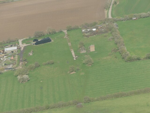
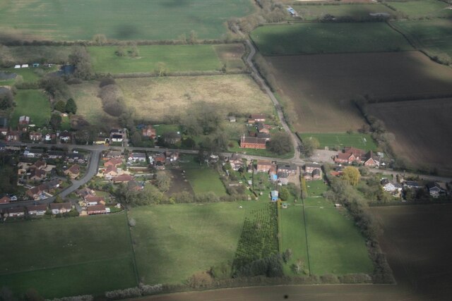
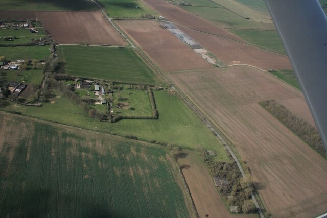
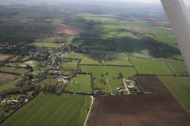
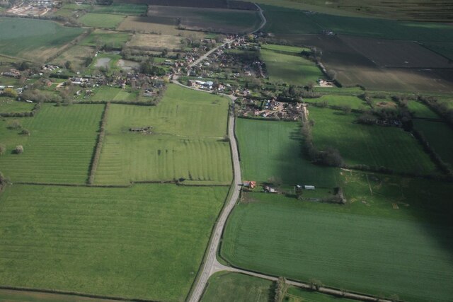
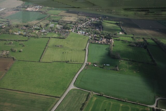
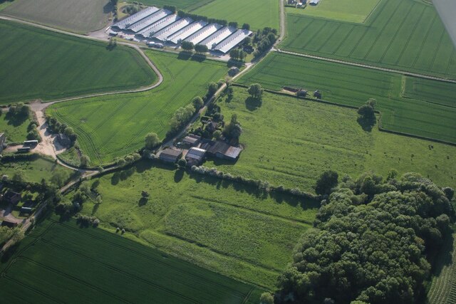
Monksthorpe Field, located in Lincolnshire, England, is a vast expanse of land boasting a diverse and picturesque landscape. Spread over an area of several square miles, the field encompasses a combination of downs and moorland, creating a unique and captivating natural environment.

The downs, characterized by gently rolling hills and expansive meadows, offer a panoramic view of the surrounding countryside. The lush greenery and scattered wildflowers create a vibrant and visually appealing scene, attracting numerous visitors throughout the year. The downs are also home to various species of wildlife, including rabbits, hares, and several bird species, providing ample opportunities for nature enthusiasts and birdwatchers to indulge in their passions.

Adjacent to the downs, the moorland presents a stark contrast with its rugged and untamed nature. Covered in heather and gorse, the moorland offers a distinct visual appeal, especially when the heather blooms in vibrant shades of purple during the summer months. This area provides a haven for a variety of bird species, including red grouse and skylarks, as well as small mammals such as voles and weasels.

Monksthorpe Field is a popular destination for outdoor activities such as hiking, picnicking, and photography. The well-maintained footpaths and trails allow visitors to explore the field at their own pace, immersing themselves in the beauty and tranquility of the surroundings. With its diverse landscape and abundant wildlife, Monksthorpe Field is a true gem of Lincolnshire's natural heritage.

If you have any feedback on the listing, please let us know in the comments section below.

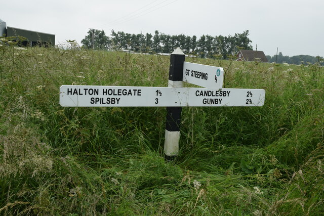
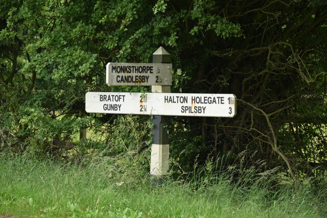
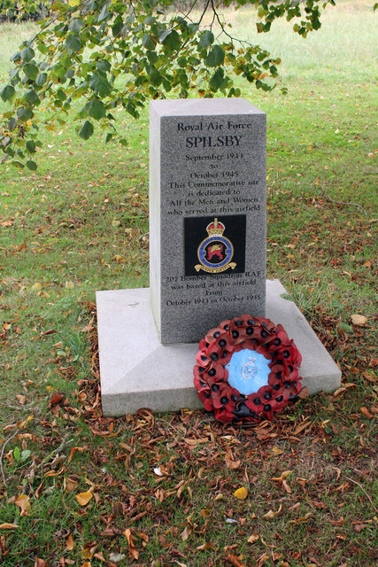
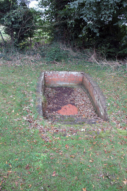
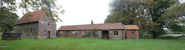
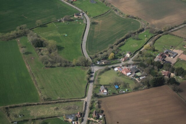
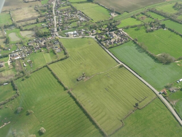
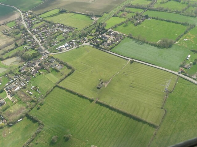
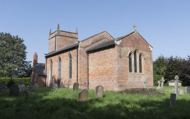
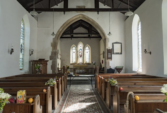
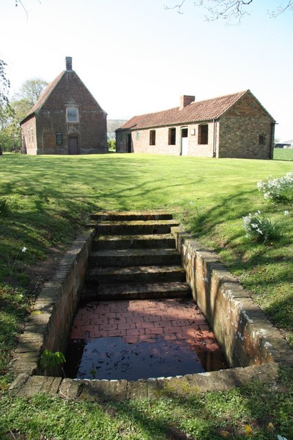
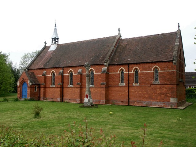
Monksthorpe Field Images

Images are sourced within 2km of 53.174186/0.15658355 or Grid Reference TF4466. Thanks to Geograph Open Source API. All images are credited.

Direction Sign – Signpost opposite School Lane in Great Steeping Located on the north side of the junction with School Lane in Great Steeping parish. 3 arms and no finial. 

Milestone Society National ID: LI_TF4464
Direction Sign – Signpost opposite School Lane in Great Steeping
Located on the north side of the junction with School Lane in Great Steeping parish. 3 arms and no finial. Milestone Society National ID: LI_TF4464
Direction Sign – Signpost in Great Steeping parish Located on the south side of a T junction between Monksthope and Kelsey Hall in Great Steeping parish. 3 arms and no finial. 

Milestone Society National ID: LI_TF4464A
Direction Sign – Signpost in Great Steeping parish
Located on the south side of a T junction between Monksthope and Kelsey Hall in Great Steeping parish. 3 arms and no finial. Milestone Society National ID: LI_TF4464A
RAF Memorial by Moat House Farm, Monksthorpe Memorial to 207 Squadron who served at RAF Spilsby September 1943 to October 1945. Previously on the other side of the airfield, 207 Squadron Association decided to change it and dedicated a new memorial in June 2012. This old Spilsby memorial obelisk was moved here from its temporary resting place at Meadowlands Caravan Park in mid April 2013 prior to its dedication at Monksthorpe Chapel on 20th April. It was re-dedicated to the airmen caught in a mighty explosion in the fusing shed that was near here and the inscription on the rear reads, 'Close to this site on Monday, 10th April 1944 an accident in the Bomb Dump cost the lives of ten of the Squadron's Armourers three of whom have No Known Grave LEST WE FORGET'.
RAF Memorial by Moat House Farm, Monksthorpe
Memorial to 207 Squadron who served at RAF Spilsby September 1943 to October 1945. Previously on the other side of the airfield, 207 Squadron Association decided to change it and dedicated a new memorial in June 2012. This old Spilsby memorial obelisk was moved here from its temporary resting place at Meadowlands Caravan Park in mid April 2013 prior to its dedication at Monksthorpe Chapel on 20th April. It was re-dedicated to the airmen caught in a mighty explosion in the fusing shed that was near here and the inscription on the rear reads, 'Close to this site on Monday, 10th April 1944 an accident in the Bomb Dump cost the lives of ten of the Squadron's Armourers three of whom have No Known Grave LEST WE FORGET'.
Total submersion font Monksthorpe Baptist Church Monksthorpe Grade II* Listed font said to be one of only two exterior total submersion fonts in the country. Of brick from around 1701 it contains 18th, 19th and 20th century tiles and bricks with 18th century steps. Some renovation works were conducted in 1993. It is thought to date to a period shortly after the passing of the Toleration Act of 1689, but when non-conformist congregations were still regularly persecuted. The baptistry was filled by flooding in water from the dyke behind it that now can't be done as the water-table is lower than it was due to drainage work. It was also used by the congregation at Burgh-le-Marsh until they had their own baptistry in 1873. It was last used in 1972.
Total submersion font Monksthorpe Baptist Church Monksthorpe
Grade II* Listed font said to be one of only two exterior total submersion fonts in the country. Of brick from around 1701 it contains 18th, 19th and 20th century tiles and bricks with 18th century steps. Some renovation works were conducted in 1993. It is thought to date to a period shortly after the passing of the Toleration Act of 1689, but when non-conformist congregations were still regularly persecuted. The baptistry was filled by flooding in water from the dyke behind it that now can't be done as the water-table is lower than it was due to drainage work. It was also used by the congregation at Burgh-le-Marsh until they had their own baptistry in 1873. It was last used in 1972.
Monksthorpe Baptist Church by Moat House Farm, Monksthorpe Grade II* Listed Chapel of 1701. Built to look like a barn in a period shortly after the passing of the Toleration Act of 1689, but when non-conformist congregations were still regularly persecuted. In 1782 it is recorded that it had 99 members travelling from over 20 villages. In 1847 major repairs and alterations were carried out at a cost of £75. The cottage and stable block were built in 1858 at a cost of £45. By the 1890s the church was in decline until former lay pastor John Dowse returned in 1910 and revived it. He died in 1927. From 1930s to 1950s the Boys' Brigade had a tradition of camping here. It is said the chapel survived building of the aerodrome because the Irish navvies refused to desecrate a sacred site. On 10th April 1944 it was badly damaged by a mighty explosion in the fusing shed nearby on the airfield. It was restored and worship began again in 1957. Trees planted in 1883 undermined the foundations and it became unusable in 1972. The graveyard remained open and occasional services were held in the grounds. 'Friends of Monksthorpe' attracted funding to secure the building in the early 1990s and following remedial work in 1993 monthly summer services returned. Then in 2001 it was handed over to the National Trust who undertook full restoration of the 1847 interior and more recently the cottage and stable block.
Monksthorpe Baptist Church by Moat House Farm, Monksthorpe
Grade II* Listed Chapel of 1701. Built to look like a barn in a period shortly after the passing of the Toleration Act of 1689, but when non-conformist congregations were still regularly persecuted. In 1782 it is recorded that it had 99 members travelling from over 20 villages. In 1847 major repairs and alterations were carried out at a cost of £75. The cottage and stable block were built in 1858 at a cost of £45. By the 1890s the church was in decline until former lay pastor John Dowse returned in 1910 and revived it. He died in 1927. From 1930s to 1950s the Boys' Brigade had a tradition of camping here. It is said the chapel survived building of the aerodrome because the Irish navvies refused to desecrate a sacred site. On 10th April 1944 it was badly damaged by a mighty explosion in the fusing shed nearby on the airfield. It was restored and worship began again in 1957. Trees planted in 1883 undermined the foundations and it became unusable in 1972. The graveyard remained open and occasional services were held in the grounds. 'Friends of Monksthorpe' attracted funding to secure the building in the early 1990s and following remedial work in 1993 monthly summer services returned. Then in 2001 it was handed over to the National Trust who undertook full restoration of the 1847 interior and more recently the cottage and stable block.
River Lymn between Great Steeping and Halton Holegate: aerial 2023 (2)
Ridge and furrow west of Great Steeping: aerial 2023 (1)
Ridge and furrow west of Great Steeping: aerial 2023 (2) Lady Wath's Beck running diagonally across the top of the shot.
Ridge and furrow west of Great Steeping: aerial 2023 (2)
Lady Wath's Beck running diagonally across the top of the shot.
Former military site, Great Steeping, aerial 2023 (4) See also <a href="https://www.geograph.org.uk/photo/7460975">TF4364 : Former military site, Great Steeping, aerial 2023 (1)</a>.
Former military site, Great Steeping, aerial 2023 (4)
Great Steeping: aerial 2023 (2)
Former runway, RAF Spilsby: aerial 2023 (1)
Former runway, RAF Spilsby: aerial 2023 (2)
Fields west of Great Steeping: aerial 2023
Ridge and furrow west of Great Steeping: aerial 2023 (1)
Ridge and furrow west of Great Steeping: aerial 2023 (2)
Earthworks including moated site at Monksthorpe Farm, Great Steeping: aerial 2023 See: <span class="nowrap"><a title="https://www.heritagegateway.org.uk/Gateway/Results_Single.aspx?uid=MLI42234&resourceID=1006" rel="nofollow ugc noopener" href="https://www.heritagegateway.org.uk/Gateway/Results_Single.aspx?uid=MLI42234&resourceID=1006">Link</a><img style="margin-left:2px;" alt="External link" title="External link - shift click to open in new window" src="https://s1.geograph.org.uk/img/external.png" width="10" height="10"/></span>
Earthworks including moated site at Monksthorpe Farm, Great Steeping: aerial 2023
See: LinkExternal link
St Benedict's church, Candlesby A view from the south east.
St Benedict's church, Candlesby
A view from the south east.
Interior, St Benedict's church, Candlesby Grade II listed

The church was built in 1838 by E. Rainey of Spilsbury, with alterations in 1897. It was built on the site of an older church which was demolished.

The church is built in brick with a slate roof. There is a western tower, nave, chancel, and vestry.

The tower is of two stages with a plain parapet and angle pinnacles. There is a belfry with louvred lights.
The nave has a plain interior with three windows north and south.
The chancel has a moulded arch, a blocked priest's door and a triple lancet east window.
Most of the fittings are from the nineteenth century.

There are several stained-glass windows.
Interior, St Benedict's church, Candlesby
Grade II listed The church was built in 1838 by E. Rainey of Spilsbury, with alterations in 1897. It was built on the site of an older church which was demolished. The church is built in brick with a slate roof. There is a western tower, nave, chancel, and vestry. The tower is of two stages with a plain parapet and angle pinnacles. There is a belfry with louvred lights. The nave has a plain interior with three windows north and south. The chancel has a moulded arch, a blocked priest's door and a triple lancet east window. Most of the fittings are from the nineteenth century. There are several stained-glass windows.
Show me another place!

Monksthorpe Field is located at Grid Ref: TF4466 (Lat: 53.174186, Lng: 0.15658355)

Administrative County: Lincolnshire

District: East Lindsey

Police Authority: Lincolnshire

What 3 Words

///craft.unroll.hamsters. Near Spilsby, Lincolnshire

Related Wikis

Monksthorpe

Monksthorpe is a hamlet in the district of East Lindsey, Lincolnshire, England. It lies 3 miles (5 km) east from the town of Spilsby and north from the...

Ashby by Partney

Ashby by Partney is a village and former civil parish, now in the parish of Ashby with Scremby, in the East Lindsey district of Lincolnshire, England....

RAF Spilsby

Royal Air Force Spilsby or more simply RAF Spilsby is a former Royal Air Force station during the Second World War and the Cold War located in the rural...

Candlesby with Gunby

Candlesby with Gunby is a civil parish in the East Lindsey district of Lincolnshire, England, about 5 miles (8.0 km) east of the town of Spilsby, and includes...

Candlesby

Candlesby is a village and former civil parish, now in the parish of Candlesby with Gunby, in the East Lindsey district of Lincolnshire, England. It is...

Scremby

Scremby is a village in the civil parish of Ashby with Scremby, in the East Lindsey district of Lincolnshire, England. It is situated about 4 miles (6...

Ashby with Scremby

Ashby with Scremby is a civil parish in the East Lindsey district of Lincolnshire, England, with a population of 147 (2001 census), increasing to 179 at...

Great Steeping

Great Steeping is a village and civil parish in the East Lindsey district of Lincolnshire, England. It is situated approximately 3 miles (5 km) from Spilsby...

Nearby Amenities

Located within 500m of 53.174186,0.15658355
Monksthorpe Field
Place: locality
Source: Bing
Lat/Long: 53.175134/0.157018
The data included in this document is from www.openstreetmap.org. The data is made available under ODbL.

Have you been to Monksthorpe Field?

Leave your review of Monksthorpe Field below (or comments, questions and feedback).