Fox Holt
Wood, Forest in Lincolnshire East Lindsey
England
Fox Holt
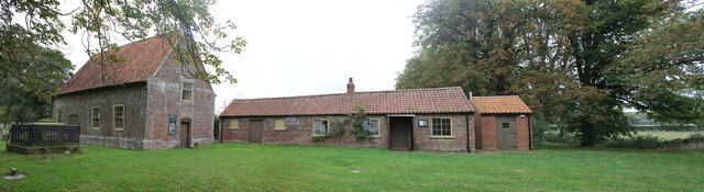
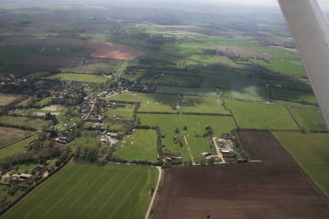
Fox Holt is a quaint village located in the county of Lincolnshire, England. Situated amidst the picturesque woodlands and forests, it is a haven for nature lovers and those seeking a tranquil retreat. With a population of around 500 residents, Fox Holt exudes a sense of close-knit community and offers a peaceful and idyllic way of life.
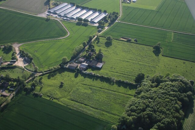
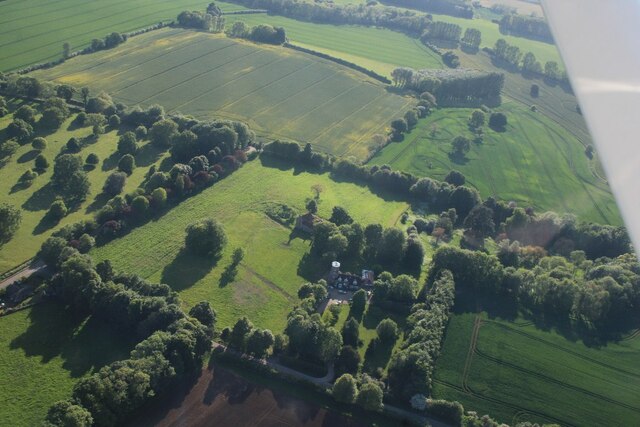
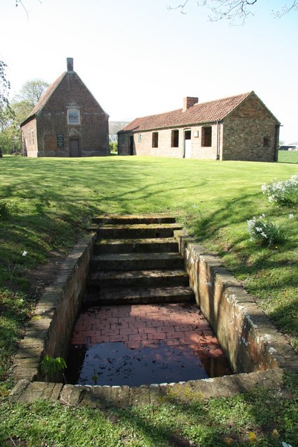
The village is surrounded by lush greenery, with dense woodlands stretching for miles, providing ample opportunities for outdoor activities such as hiking, cycling, and birdwatching. The forested areas are home to a diverse range of flora and fauna, including ancient oak trees and various species of wild animals.
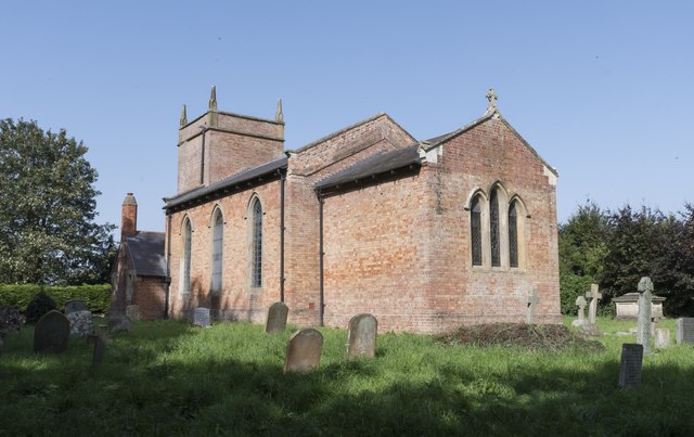
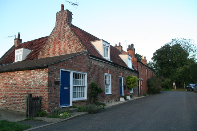
The village itself boasts a charming atmosphere, with traditional stone cottages lining its narrow winding streets. Local amenities include a village hall, a small primary school, and a pub that serves as a social hub for residents and visitors alike.
Fox Holt also benefits from its close proximity to the market town of Lincoln, which is just a short drive away. This offers further amenities, including shops, restaurants, and cultural attractions such as Lincoln Cathedral and the historic Lincoln Castle.
Overall, Fox Holt, Lincolnshire, is a hidden gem nestled in the heart of nature. Its stunning woodlands, peaceful ambiance, and strong sense of community make it an ideal destination for those seeking a serene countryside experience.
If you have any feedback on the listing, please let us know in the comments section below.
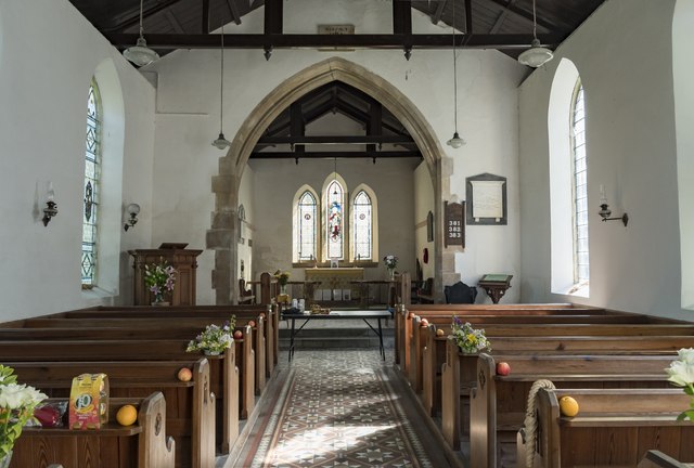
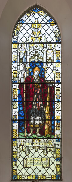
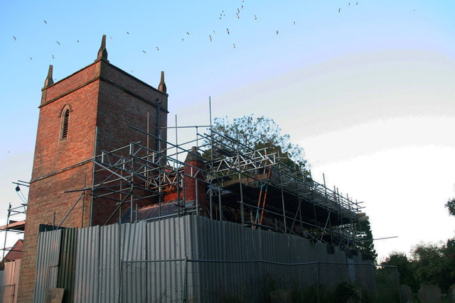
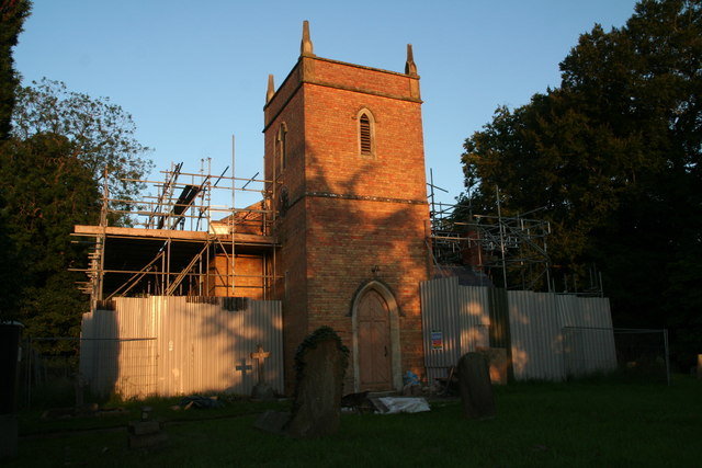
Fox Holt Images
Images are sourced within 2km of 53.176183/0.1550227 or Grid Reference TF4466. Thanks to Geograph Open Source API. All images are credited.

Fox Holt is located at Grid Ref: TF4466 (Lat: 53.176183, Lng: 0.1550227)
Administrative County: Lincolnshire
District: East Lindsey
Police Authority: Lincolnshire
What 3 Words
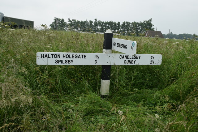
///sends.salutes.cabbages. Near Spilsby, Lincolnshire
Nearby Locations
Related Wikis
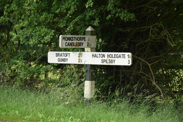
Monksthorpe
Monksthorpe is a hamlet in the district of East Lindsey, Lincolnshire, England. It lies 3 miles (5 km) east from the town of Spilsby and north from the...

Ashby by Partney
Ashby by Partney is a village and former civil parish, now in the parish of Ashby with Scremby, in the East Lindsey district of Lincolnshire, England....

Scremby
Scremby is a village in the civil parish of Ashby with Scremby, in the East Lindsey district of Lincolnshire, England. It is situated about 4 miles (6...

Ashby with Scremby
Ashby with Scremby is a civil parish in the East Lindsey district of Lincolnshire, England, with a population of 147 (2001 census), increasing to 179 at...

Candlesby with Gunby
Candlesby with Gunby is a civil parish in the East Lindsey district of Lincolnshire, England, about 5 miles (8.0 km) east of the town of Spilsby, and includes...

Candlesby
Candlesby is a village and former civil parish, now in the parish of Candlesby with Gunby, in the East Lindsey district of Lincolnshire, England. It is...

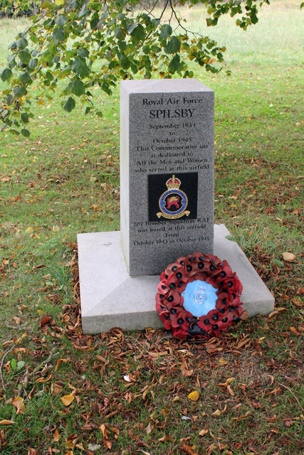
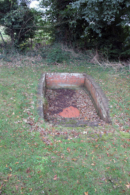
RAF Spilsby
Royal Air Force Spilsby or more simply RAF Spilsby is a former Royal Air Force station during the Second World War and the Cold War located in the rural...
Great Steeping
Great Steeping is a village and civil parish in the East Lindsey district of Lincolnshire, England. It is situated approximately 3 miles (5 km) from Spilsby...
Nearby Amenities
Located within 500m of 53.176183,0.1550227Have you been to Fox Holt?
Leave your review of Fox Holt below (or comments, questions and feedback).