Dunton Field

Downs, Moorland in Lincolnshire South Holland

England

Dunton Field

Wind Turbine
Wind Turbine Credit: Alex McGregor

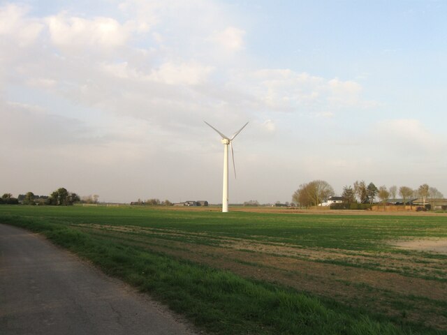
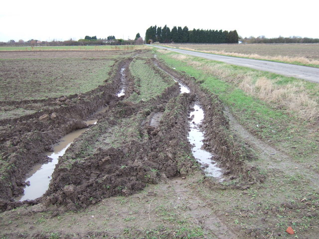
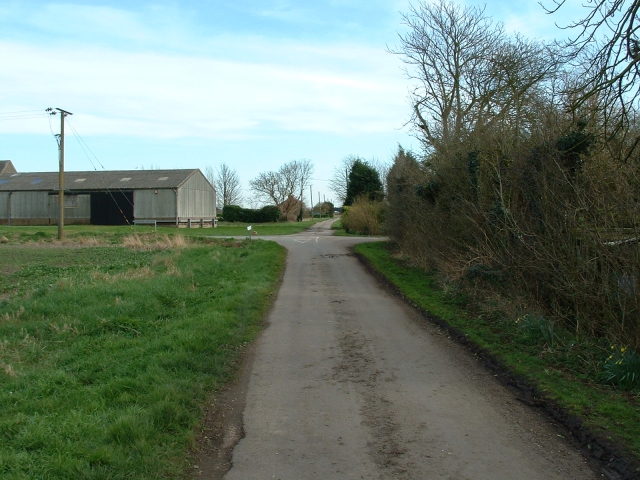
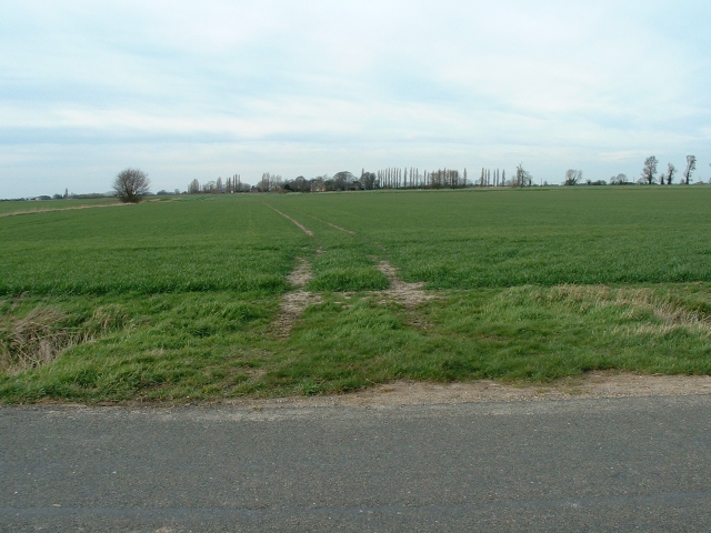
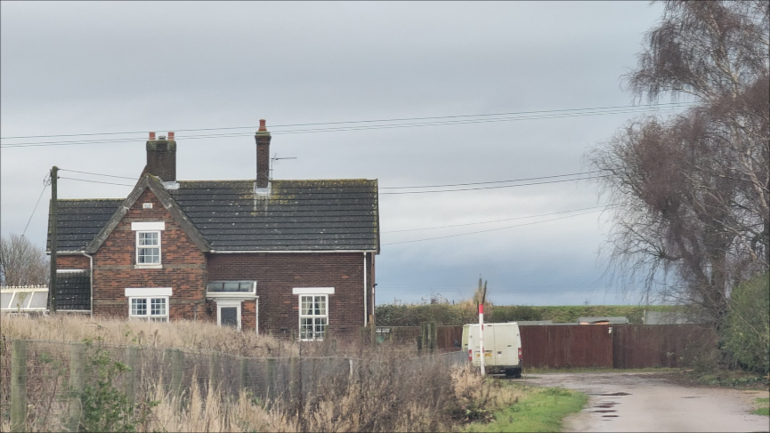
Dunton Field, located in Lincolnshire, England, is a vast and diverse landscape featuring a unique combination of downs and moorland. Spread over an area of approximately 500 acres, it offers a variety of natural habitats and stunning panoramic views.

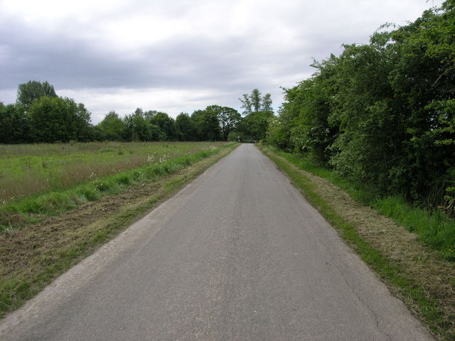
The downs section of Dunton Field is characterized by gently rolling hills, covered in short grasses and wildflowers. This open grassland provides a perfect environment for grazing animals such as sheep and horses, which can often be spotted dotting the landscape. The downs also offer ample opportunities for recreational activities such as walking, picnicking, and birdwatching.

In contrast, the moorland area of Dunton Field boasts a more rugged and wild terrain. Here, visitors can explore vast stretches of heather-covered hills and marshy valleys. The moorland is home to a wide range of wildlife, including birds of prey, rabbits, and even the occasional deer. The area is also known for its unique flora, with species such as heather, bilberry, and cotton grass adding vibrant colors to the landscape.

Dunton Field is a popular destination for nature enthusiasts and outdoor enthusiasts alike. Its diverse ecosystems, coupled with its breathtaking scenery, make it an ideal location for those seeking to connect with nature and escape the hustle and bustle of daily life. Whether one chooses to explore the downs or venture into the untamed moorland, Dunton Field offers an unforgettable experience for all who visit.

If you have any feedback on the listing, please let us know in the comments section below.
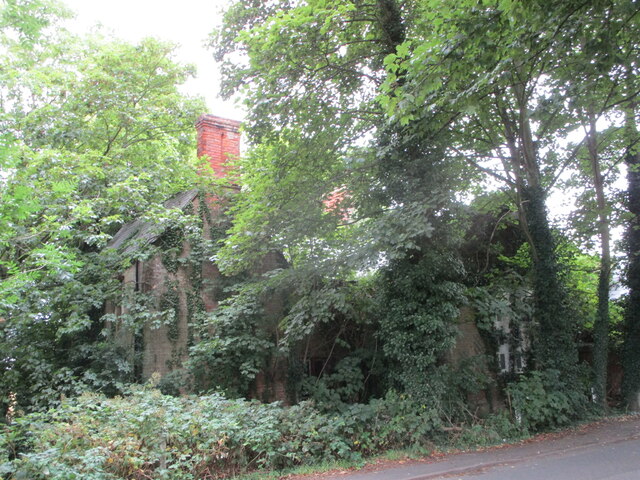
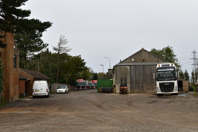
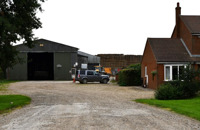
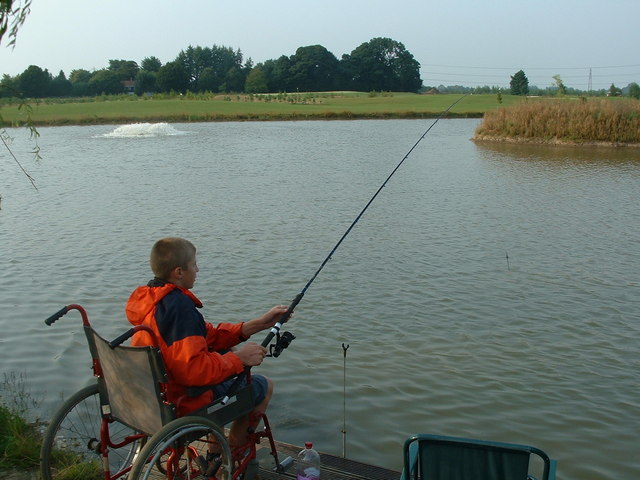
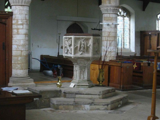
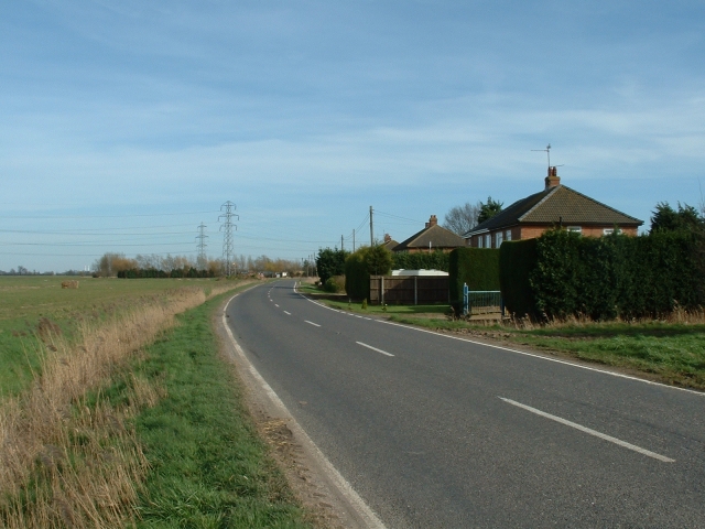
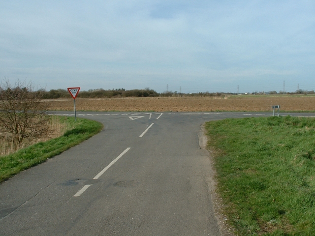
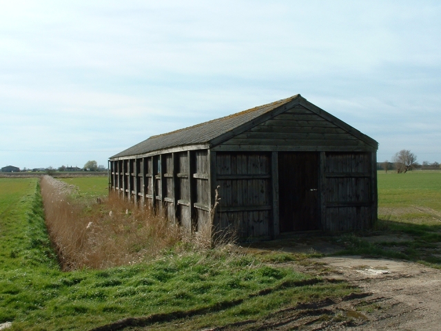
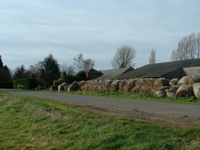
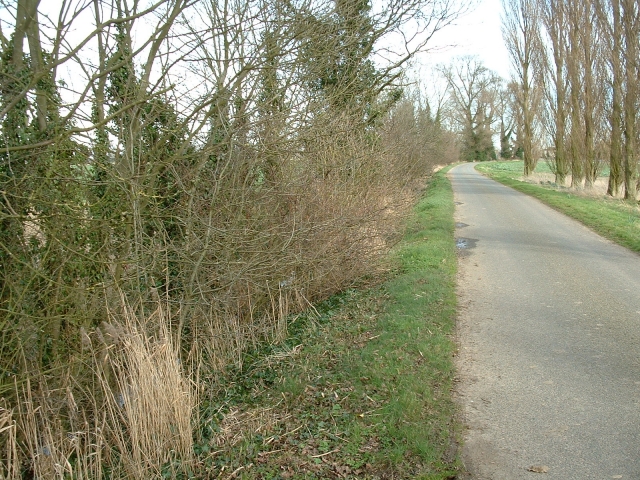
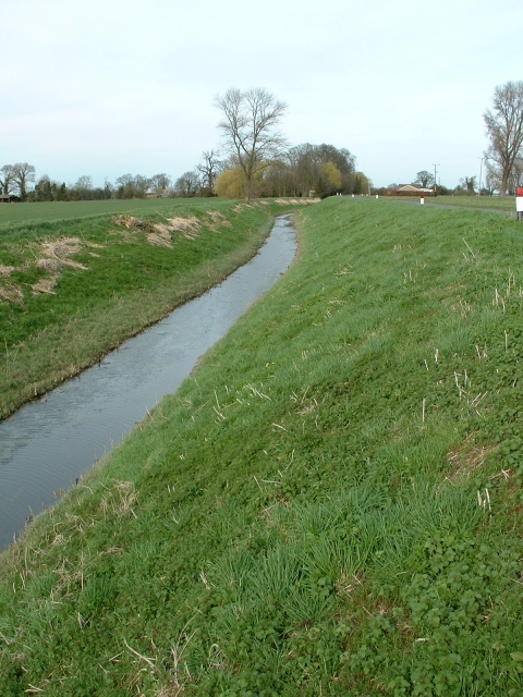
Dunton Field Images

Images are sourced within 2km of 52.730128/0.091471349 or Grid Reference TF4116. Thanks to Geograph Open Source API. All images are credited.

Wind Turbine
Wind Turbine
Former school, Tydd St. Giles This has been derelict for a number of years and nature is taking over. For a view of January 2011 see <a href="https://www.geograph.org.uk/photo/2222797">TF4216 : Church Lane in Tydd St Giles</a>
Former school, Tydd St. Giles
This has been derelict for a number of years and nature is taking over. For a view of January 2011 see TF4216 : Church Lane in Tydd St Giles
Tydd St Giles: Poplar Tree Farm
Sutton St James: The Oak Grove
Sutton St James: Entering the village
Soggy ground Deep tyre ruts on the edge of Baulkin's Drove, south of Sutton St James
Soggy ground
Deep tyre ruts on the edge of Baulkin's Drove, south of Sutton St James
Tydd St. Giles Church
Lane to Tretton Manor Tretton (Tritton 1940s OS) Manor Farm is just to the right at the end of this lane.
Lane to Tretton Manor
Tretton (Tritton 1940s OS) Manor Farm is just to the right at the end of this lane.
Fishing Lake, Tydd St Giles Golf Course The lake acts as a water hazard between holes - anglers beware!
Fishing Lake, Tydd St Giles Golf Course
The lake acts as a water hazard between holes - anglers beware!
The six sided 15th C font at St Giles
Roadside houses, B1165 near Tydd St Mary. Originally council built and owned, these 'semis' sit beside the busy backroad between Wisbech and Spalding.
Roadside houses, B1165 near Tydd St Mary.
Originally council built and owned, these 'semis' sit beside the busy backroad between Wisbech and Spalding.
Road junction near Sutton St James. This 'T' junction is where the minor road called Masterdyke meets the B1165 just east of Sutton St James.
Road junction near Sutton St James.
This 'T' junction is where the minor road called Masterdyke meets the B1165 just east of Sutton St James.
Wooden barn, Masterdyke, Sutton St James. This solid wooden barn/shed sits beside Masterdyke, SE of Sutton St James, Lincolnshire.
Wooden barn, Masterdyke, Sutton St James.
This solid wooden barn/shed sits beside Masterdyke, SE of Sutton St James, Lincolnshire.
Outbuildings at Manor Hill Farm. There appears to be neither Manor nor Hill at this prosperous 19th century farm deep in the flatlands of South Holland, Lincolnshire.
Outbuildings at Manor Hill Farm.
There appears to be neither Manor nor Hill at this prosperous 19th century farm deep in the flatlands of South Holland, Lincolnshire.
Park Road, near Tydd St Giles To the left of this quiet lane runs the remains of a medieval drain called The Shire Drain.
Park Road, near Tydd St Giles
To the left of this quiet lane runs the remains of a medieval drain called The Shire Drain.
Shire Drain, near Tydd St Giles This was a medieval drain which ran through the North Level into the Nene washes. It was also called Lady Nunne's Old Eau, after the wife of local nobleman. It was replaced, in 1828. by the much wider, deeper and straighter North Level Main Drain. In places, the Shire Drain is scarcely discernible, but here it is clear and still functioning, particularly after heavy late winter rains.
Shire Drain, near Tydd St Giles
This was a medieval drain which ran through the North Level into the Nene washes. It was also called Lady Nunne's Old Eau, after the wife of local nobleman. It was replaced, in 1828. by the much wider, deeper and straighter North Level Main Drain. In places, the Shire Drain is scarcely discernible, but here it is clear and still functioning, particularly after heavy late winter rains.
Crossroads, Black Dyke A quiet crossroads in the heart of the south Lincolnshire flatlands.
Crossroads, Black Dyke
A quiet crossroads in the heart of the south Lincolnshire flatlands.
Farmland near Middle Broad Drove. Typically featureless arable fields in south Lincolnshire, southwest of Tydd St Giles.
Farmland near Middle Broad Drove.
Typically featureless arable fields in south Lincolnshire, southwest of Tydd St Giles.
Show me another place!

Dunton Field is located at Grid Ref: TF4116 (Lat: 52.730128, Lng: 0.091471349)

Administrative County: Lincolnshire

District: South Holland

Police Authority: Lincolnshire

What 3 Words

///curve.quits.slick. Near West Walton, Norfolk

Nearby Locations

Dunton Field Horn Field

Related Wikis

Tydd St Giles

Tydd St Giles is a village in Fenland, Cambridgeshire, England. It is the northernmost village in the Isle of Ely, Cambridgeshire (bordering Lincolnshire...
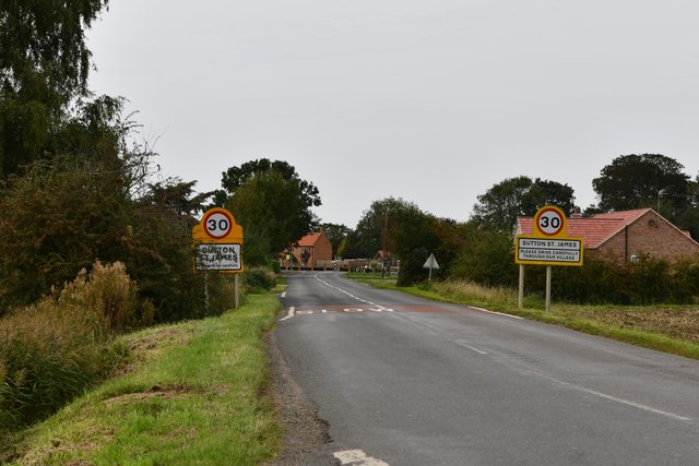
Sutton St James

Sutton St James is a village and civil parish in the South Holland district of Lincolnshire, England, about four miles (6.4 km) south-west of Long Sutton...

Grange Farm Arboretum

The Grange Farm Arboretum is a small private arboretum comprising 3 hectares accommodating over 800 trees, mostly native and ornamental species or cultivars...

Newton-in-the-Isle

Newton-in-the-Isle is a village and civil parish in the Fenland District of the Isle of Ely, Cambridgeshire, England, The village is 4 miles (6 km) to...

Tydd St Mary

Tydd St Mary is a village and civil parish in the South Holland district of Lincolnshire, England, about 9 miles (14 km) east of the town of Spalding and...

Four Gotes

Four Gotes is a hamlet in the civil parish of Tydd St Giles in Cambridgeshire, England. The population is included in the civil parish of Leverington....

Tydd Gote

Tydd Gote is an English village, partly, at the north, in the civil parish of Tydd St Mary of the South Holland District of Lincolnshire, and partly, at...

Ferry railway station

Ferry railway station was a railway station in Newton-in-the-Isle, Cambridgeshire. It was on the Midland and Great Northern Joint Railway between Sutton...

Nearby Amenities

Located within 500m of 52.730128,0.091471349
Dunton Field
Place: locality
Source: Bing
Lat/Long: 52.7312548/0.0966503
Dunton Hall
Place: isolated_dwelling
Source: Bing
Lat/Long: 52.7291305/0.0931732
The data included in this document is from www.openstreetmap.org. The data is made available under ODbL.

Have you been to Dunton Field?

Leave your review of Dunton Field below (or comments, questions and feedback).