Warlies Park

Downs, Moorland in Essex Epping Forest

England

Warlies Park

Bridge over the M25 near Upshire Officially named the London Orbital and frequently derided as nothing more than a very big car park, the M25 is a 117-mile orbital motorway that encircles London; one of the world's biggest ring roads (Europe's second longest orbital road after the Berliner Ring, which is 122 miles). It is not, however, a continuous loop of motorway as the Dartford Crossing section (comprising the Dartford Tunnels and the Queen Elizabeth II Bridge) over the Thames and its approach roads are designated as the A282. 

Constructed between 1975 and 1986, the M25 is reputedly the most expensive motorway Britain ever built, costing a total of £909m or roughly £7.5m per mile, but at the time of its planning, the demand for the road was considerably underestimated so that when it was finally completed in 1986, it was already out of date. Demand outstripped capacity within a few years and ever since then it's been very heavily congested. 

The M25 is one of the UK’s busiest motorways, carrying up to 200,000 vehicles and 10,000 HGVs per day (AADT - Annual Average Daily Traffic flow) on the section near to Heathrow Airport. Since its opening in the 1980s, the southern, western and eastern sections have been widened to largely dual four lane (D4M) standard, but much of the motorway retains its dual three lane road (D3M) cross-section as originally built. 

The M25 was home to England's first Variable Speed Limits on motorways between the A3 and M4 in the early 1990s.

<span class="nowrap"><a title="http://www.cbrd.co.uk/motorway/m25/" rel="nofollow ugc noopener" href="http://www.cbrd.co.uk/motorway/m25/">Link</a><img style="margin-left:2px;" alt="External link" title="External link - shift click to open in new window" src="https://s1.geograph.org.uk/img/external.png" width="10" height="10"/></span>  cbrd
<span class="nowrap"><a title="http://www.sabre-roads.org.uk/wiki/index.php?title=M25" rel="nofollow ugc noopener" href="http://www.sabre-roads.org.uk/wiki/index.php?title=M25">Link</a><img style="margin-left:2px;" alt="External link" title="External link - shift click to open in new window" src="https://s1.geograph.org.uk/img/external.png" width="10" height="10"/></span>  SABRE
Bridge over the M25 near Upshire Credit: David Dixon

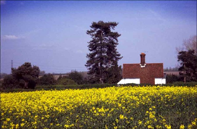
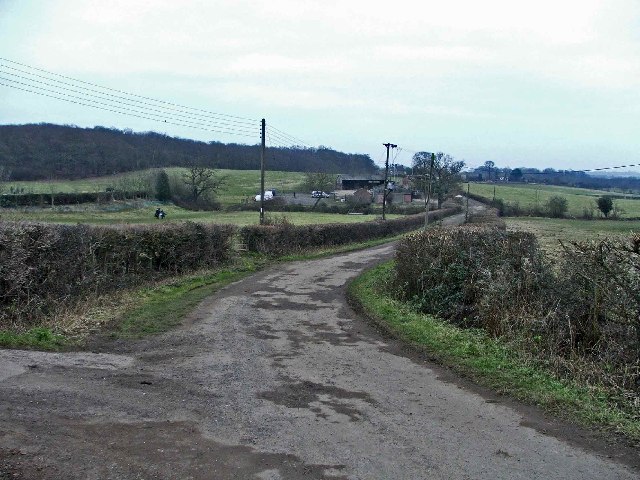
Warlies Park is a picturesque natural reserve located in Essex, England. Nestled among the rolling hills, the park offers a diverse landscape that includes downs and moorland, making it an ideal destination for nature enthusiasts and outdoor lovers.

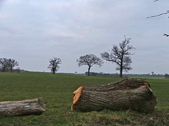
Covering an area of approximately 100 acres, Warlies Park is home to a wide variety of flora and fauna. The downs, characterized by their gently sloping hills, are covered in lush green grass and scattered with wildflowers during the warmer months. These open spaces are perfect for picnicking, walking, or simply enjoying the panoramic views of the surrounding countryside.

The park also boasts extensive moorland, characterized by its wet and boggy terrain. This unique ecosystem is home to a range of rare plant species, including heather and sphagnum moss. Moorland birds, such as curlews and lapwings, can often be spotted, making it a popular spot for birdwatching.

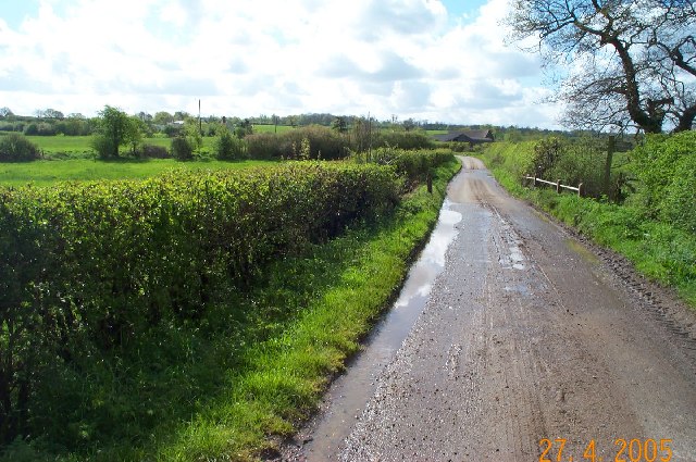
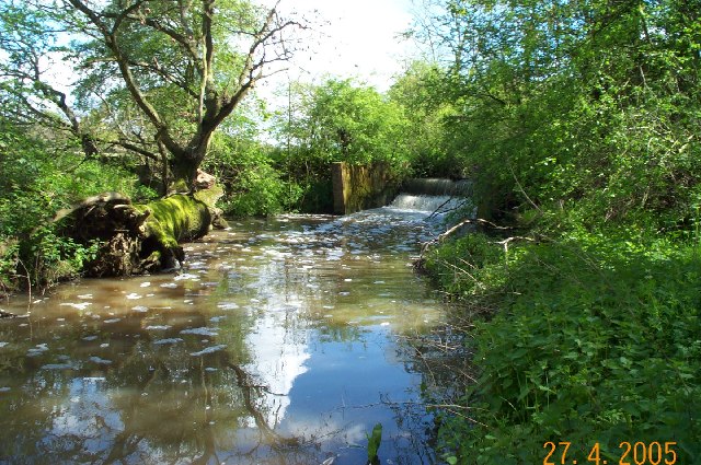
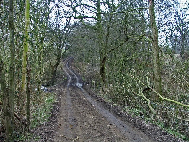
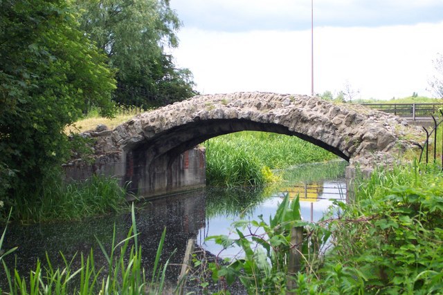
Warlies Park is crisscrossed with a network of well-maintained footpaths, offering visitors the opportunity to explore the park's diverse landscapes at their own pace. These paths wind through woodlands, meadows, and alongside peaceful streams, providing a haven for wildlife and a tranquil escape for visitors.

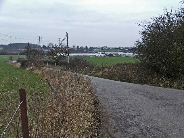
The park also offers excellent facilities, including car parking, picnic areas, and toilet facilities. It is open to the public year-round and is easily accessible from nearby towns and villages. Whether you're a nature lover, a family seeking outdoor activities, or simply looking for a peaceful retreat, Warlies Park is a hidden gem that offers something for everyone.

If you have any feedback on the listing, please let us know in the comments section below.
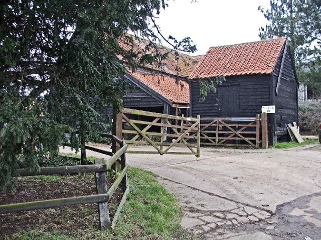
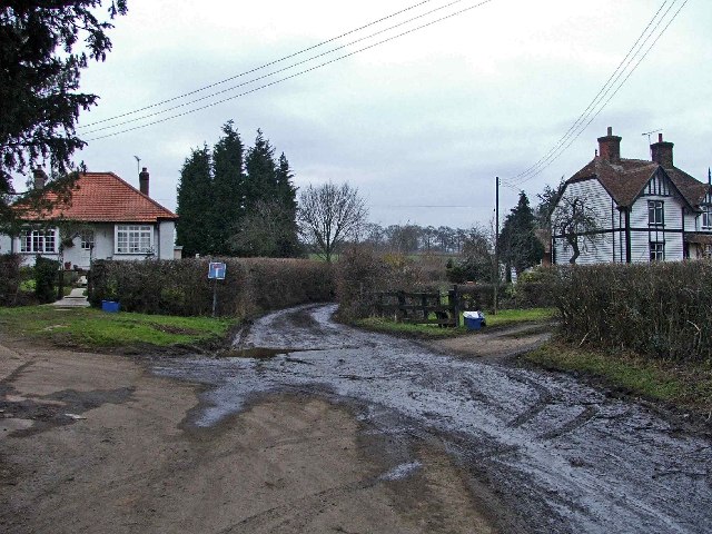
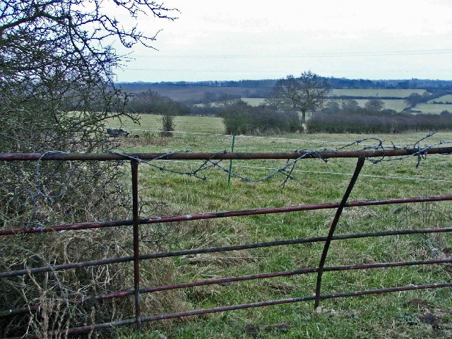
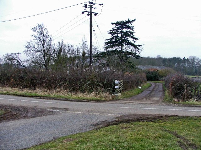
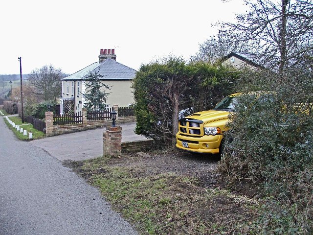
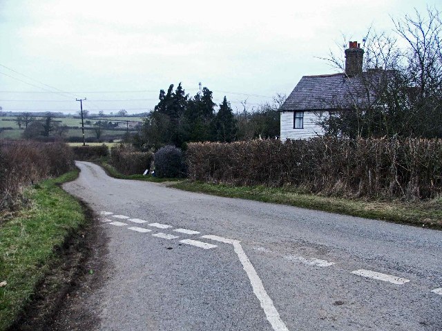
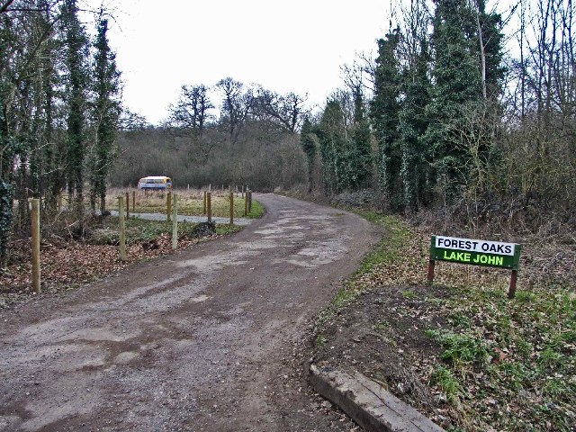
Warlies Park Images

Images are sourced within 2km of 51.696106/0.043669416 or Grid Reference TL4101. Thanks to Geograph Open Source API. All images are credited.

Bridge over the M25 near Upshire Officially named the London Orbital and frequently derided as nothing more than a very big car park, the M25 is a 117-mile orbital motorway that encircles London; one of the world's biggest ring roads (Europe's second longest orbital road after the Berliner Ring, which is 122 miles). It is not, however, a continuous loop of motorway as the Dartford Crossing section (comprising the Dartford Tunnels and the Queen Elizabeth II Bridge) over the Thames and its approach roads are designated as the A282. 

Constructed between 1975 and 1986, the M25 is reputedly the most expensive motorway Britain ever built, costing a total of £909m or roughly £7.5m per mile, but at the time of its planning, the demand for the road was considerably underestimated so that when it was finally completed in 1986, it was already out of date. Demand outstripped capacity within a few years and ever since then it's been very heavily congested. 

The M25 is one of the UK’s busiest motorways, carrying up to 200,000 vehicles and 10,000 HGVs per day (AADT - Annual Average Daily Traffic flow) on the section near to Heathrow Airport. Since its opening in the 1980s, the southern, western and eastern sections have been widened to largely dual four lane (D4M) standard, but much of the motorway retains its dual three lane road (D3M) cross-section as originally built. 

The M25 was home to England's first Variable Speed Limits on motorways between the A3 and M4 in the early 1990s.

<span class="nowrap"><a title="http://www.cbrd.co.uk/motorway/m25/" rel="nofollow ugc noopener" href="http://www.cbrd.co.uk/motorway/m25/">Link</a><img style="margin-left:2px;" alt="External link" title="External link - shift click to open in new window" src="https://s1.geograph.org.uk/img/external.png" width="10" height="10"/></span>  cbrd
<span class="nowrap"><a title="http://www.sabre-roads.org.uk/wiki/index.php?title=M25" rel="nofollow ugc noopener" href="http://www.sabre-roads.org.uk/wiki/index.php?title=M25">Link</a><img style="margin-left:2px;" alt="External link" title="External link - shift click to open in new window" src="https://s1.geograph.org.uk/img/external.png" width="10" height="10"/></span>  SABRE
Bridge over the M25 near Upshire
Officially named the London Orbital and frequently derided as nothing more than a very big car park, the M25 is a 117-mile orbital motorway that encircles London; one of the world's biggest ring roads (Europe's second longest orbital road after the Berliner Ring, which is 122 miles). It is not, however, a continuous loop of motorway as the Dartford Crossing section (comprising the Dartford Tunnels and the Queen Elizabeth II Bridge) over the Thames and its approach roads are designated as the A282. Constructed between 1975 and 1986, the M25 is reputedly the most expensive motorway Britain ever built, costing a total of £909m or roughly £7.5m per mile, but at the time of its planning, the demand for the road was considerably underestimated so that when it was finally completed in 1986, it was already out of date. Demand outstripped capacity within a few years and ever since then it's been very heavily congested. The M25 is one of the UK’s busiest motorways, carrying up to 200,000 vehicles and 10,000 HGVs per day (AADT - Annual Average Daily Traffic flow) on the section near to Heathrow Airport. Since its opening in the 1980s, the southern, western and eastern sections have been widened to largely dual four lane (D4M) standard, but much of the motorway retains its dual three lane road (D3M) cross-section as originally built. The M25 was home to England's first Variable Speed Limits on motorways between the A3 and M4 in the early 1990s. LinkExternal link cbrd LinkExternal link SABRE
Variable Message Sign on the M25 at Copthall Green Variable message signs (VMS), also sometimes referred to as matrix signs, are electronic traffic signs used on motorways (and some other major routes) to give drivers information about special events and to warn them about traffic congestion, accidents, incidents, roadworks or speed limits on specific sections of the route. They may also suggest (or instruct) drivers to take alternative routes, limit speed, warn of the duration and location of the incidents or just inform them of the traffic conditions. Drivers carrying freight bound for the cross-channel port of Dover are instructed to use the M20 by this sign.
Variable Message Sign on the M25 at Copthall Green
Variable message signs (VMS), also sometimes referred to as matrix signs, are electronic traffic signs used on motorways (and some other major routes) to give drivers information about special events and to warn them about traffic congestion, accidents, incidents, roadworks or speed limits on specific sections of the route. They may also suggest (or instruct) drivers to take alternative routes, limit speed, warn of the duration and location of the incidents or just inform them of the traffic conditions. Drivers carrying freight bound for the cross-channel port of Dover are instructed to use the M20 by this sign.
Copped  Hall The original house was a retreat for Princess Elizabeth now in ruins but Copped Hall was a later structure which is now a burnt shell but is cared for by a trust.
Copped Hall
The original house was a retreat for Princess Elizabeth now in ruins but Copped Hall was a later structure which is now a burnt shell but is cared for by a trust.
Copped Hall Greenhouses These greenhouses are in a very poor state and will 
probably fall apart due to lack of funds
Copped Hall Greenhouses
These greenhouses are in a very poor state and will probably fall apart due to lack of funds
The White House near Copped Hall The White House with its red roof stands out against the blue sky and the oilseed rape in the foreground.
The White House near Copped Hall
The White House with its red roof stands out against the blue sky and the oilseed rape in the foreground.
Cobbinsend Road near Waltham Abbey View looking south along the lane over the bridge over Cobbin's Brook towards Fernhall Farm
Cobbinsend Road near Waltham Abbey
View looking south along the lane over the bridge over Cobbin's Brook towards Fernhall Farm
Weir on Cobbin's Brook Viewed looking east this weir is on Cobbin's Brook where it flows through Warlies Park. The water level was higher than normal due to a period of heavy rain.
Weir on Cobbin's Brook
Viewed looking east this weir is on Cobbin's Brook where it flows through Warlies Park. The water level was higher than normal due to a period of heavy rain.
Breach Barns Lane leads from Dallance Farm to Oakwood Nursery Breach Barns Lane is a small road off Galleyhill Road, leading from Dallance Farm to Oakwood Nursery
Breach Barns Lane leads from Dallance Farm to Oakwood Nursery
Breach Barns Lane is a small road off Galleyhill Road, leading from Dallance Farm to Oakwood Nursery
Claverhambury Road Claverhambury Road just past Claverhambury Manor
Claverhambury Road
Claverhambury Road just past Claverhambury Manor
Farmland opposite Reevegate Farm, Claverhambury Road Farmland opposite Reevegate Farm, Claverhambury Road, looking north
Farmland opposite Reevegate Farm, Claverhambury Road
Farmland opposite Reevegate Farm, Claverhambury Road, looking north
Claverhambury Road near Longcroft Grove
Cobbinsend Farm, Cobbinsend Road, near Waltham Abbey
Maynards Farm, Cobbinsend Road, near Waltham Abbey Entrance to Maynards Farm opposite Cobbinsend Farm on Cobbinsend Road, near Waltham Abbey.
Maynards Farm, Cobbinsend Road, near Waltham Abbey
Entrance to Maynards Farm opposite Cobbinsend Farm on Cobbinsend Road, near Waltham Abbey.
Cobbinsend Road, near Waltham Abbey Cobbinsend Road looking north with Cobbinsend Farm on the right
Cobbinsend Road, near Waltham Abbey
Cobbinsend Road looking north with Cobbinsend Farm on the right
Three Gates where Claverhambury Road joins Cobbinsend Road Farmland in the area called three gates where Claverhambury Road joins Cobbinsend Road
Three Gates where Claverhambury Road joins Cobbinsend Road
Farmland in the area called three gates where Claverhambury Road joins Cobbinsend Road
Entrance to Fernhall Farm, Fernhall Lane Entrance to Fernhall Farm where Cobbinsend Road meets Fernhall Lane and Long Street
Entrance to Fernhall Farm, Fernhall Lane
Entrance to Fernhall Farm where Cobbinsend Road meets Fernhall Lane and Long Street
The Cottages, Long Street, near Copthall Green
Cottage opposite Fernhall Farm opposite junction with Fernhall Road
Show me another place!

Warlies Park is located at Grid Ref: TL4101 (Lat: 51.696106, Lng: 0.043669416)

Administrative County: Essex

District: Epping Forest

Police Authority: Essex

What 3 Words

///type.season.began. Near Waltham Abbey, Essex

Nearby Locations

Warlies Park Temple Hill

Related Wikis

Upshire

Upshire is a village and area of Waltham Abbey in the Epping Forest District of Essex, England. The centre of the village is on Horseshoe Hill (a minor...
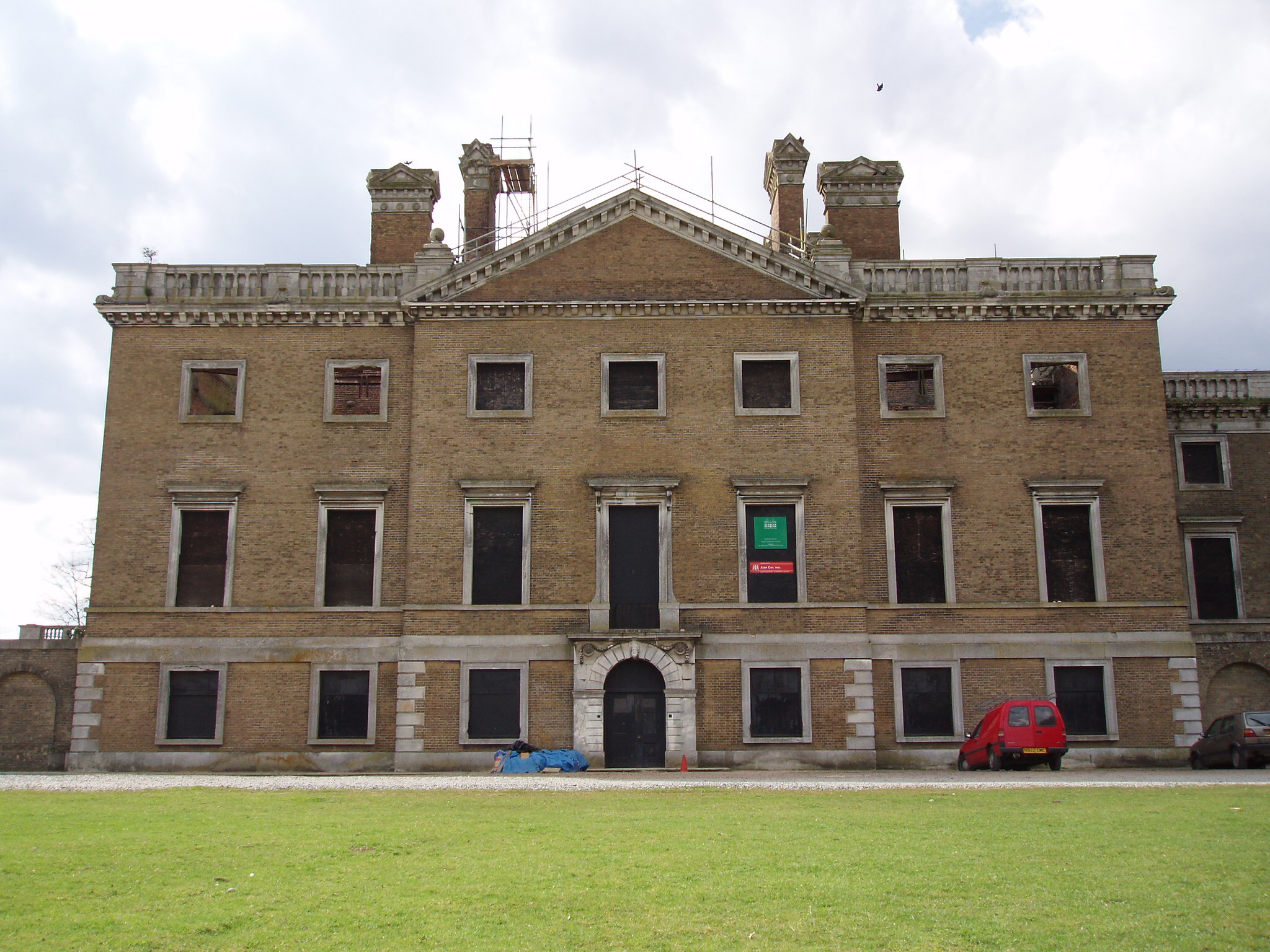
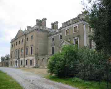
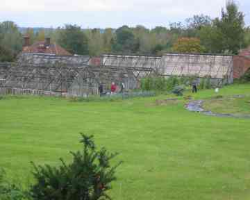
Copped Hall

Copped Hall, also known as Copt Hall or Copthall, is a mid-18th-century English country house close to Waltham Abbey, Essex, which has been undergoing...

Aimes Green

Aimes Green is a Hamlet in Essex, England. It is near the hamlet of Holyfield and the town of Waltham Abbey. == References == A-Z Essex, 2010 edition....

King Harold Business and Enterprise Academy

King Harold Business and Enterprise Academy (formerly King Harold School) is a secondary school and specialist business and enterprise college located...

Ambresbury Banks

Ambresbury Banks is the name given to the remains of an Iron Age hill fort in Epping Forest, Essex, England. == Description == The fort encircles an area...

Waltham Abbey F.C.

Waltham Abbey F.C. is an English football club based in Waltham Abbey, Essex. The team currently plays in the Southern League Division One Central....

Bell Common

Bell Common is a settlement in Essex, England and is south of the town of Epping. == Tunnel == The Bell Common Tunnel is a covered section of the M25 motorway...

Cornmill Stream

The Cornmill Stream is a minor tributary of the River Lea in the English county of Essex. == History == The stream is an artificial watercourse which may...

Nearby Amenities

Located within 500m of 51.696106,0.043669416
The Temple
Historic: memorial
Material: stone
Memorial: yes
Lat/Long: 51.6928822/0.0485066
Fixme: review paths/road/links
Lat/Long: 51.6970844/0.0480726
Access: no
Description: Access for EPA only
Foot: private
Lat/Long: 51.7005229/0.0425018
Crossing
Lat/Long: 51.6932842/0.0439628
Crossing
Lat/Long: 51.6925968/0.0427315
Crossing
Lat/Long: 51.6932121/0.0437765
Crossing
Lat/Long: 51.6920166/0.0420904
Crossing
Lat/Long: 51.6925552/0.0426828
Crossing
Lat/Long: 51.6936743/0.0439234
Barrier: stile
Lat/Long: 51.69956/0.0460532
Access: permissive
Barrier: swing_gate
Bicycle: no
Foot: yes
Horse: no
Locked: no
Motor Vehicle: no
Lat/Long: 51.6923343/0.0450726
The data included in this document is from www.openstreetmap.org. The data is made available under ODbL.

Have you been to Warlies Park?

Leave your review of Warlies Park below (or comments, questions and feedback).