Shaffendike Field
Downs, Moorland in Cambridgeshire Fenland
England
Shaffendike Field
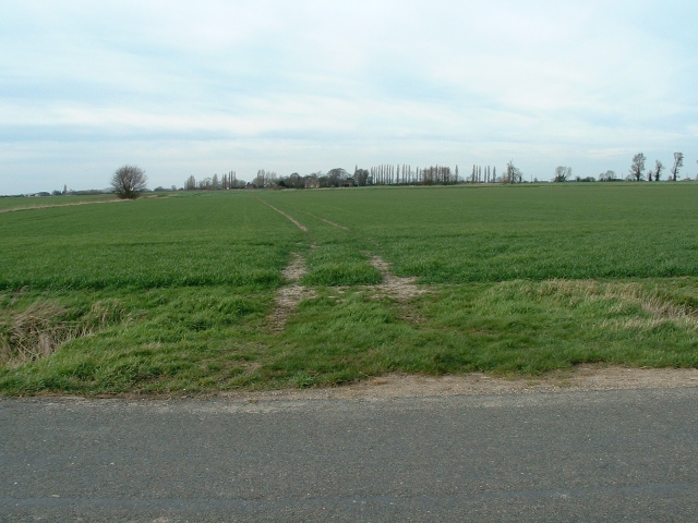
Shaffendike Field is a picturesque area located in Cambridgeshire, England. Situated in the Downs region, this field offers a stunning view of the surrounding moorland, making it a popular destination for nature enthusiasts and hikers.
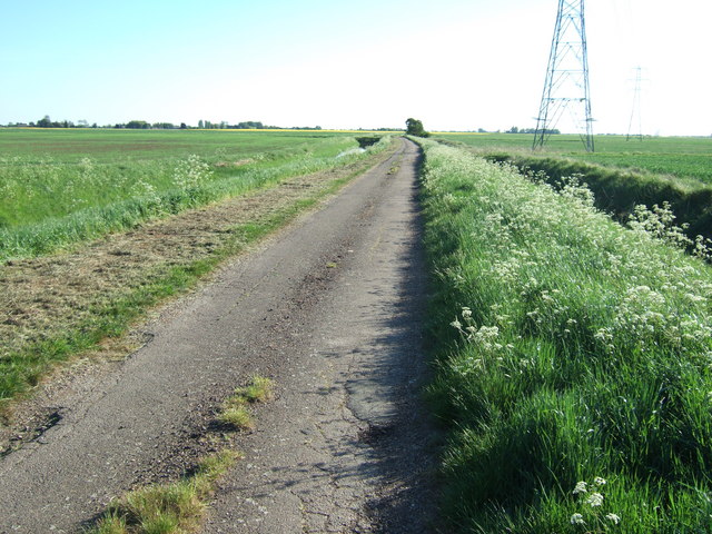
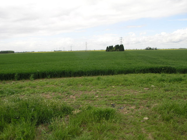
Covering an expansive area, Shaffendike Field is characterized by its rolling hills, vast open spaces, and diverse flora and fauna. The field is home to a variety of plant species, including heather, gorse, and wildflowers, which thrive in the nutrient-rich soil. These plants create a vibrant and colorful landscape, particularly during the summer months.
The wildlife in Shaffendike Field is equally diverse. Visitors may spot a range of bird species, such as skylarks and linnets, soaring through the sky or nesting in the tall grasses. Additionally, the field is inhabited by small mammals like rabbits and foxes, adding to the natural charm of the area.
For those interested in outdoor activities, Shaffendike Field offers numerous opportunities. The vast expanse of open space provides ample room for walking, hiking, and picnicking. The rolling hills also make it a great location for kite flying and photography, with breathtaking views from various vantage points.
Furthermore, Shaffendike Field is easily accessible, with several footpaths and trails crisscrossing the area. Visitors can explore the field at their own pace, immersing themselves in the tranquility and beauty of the landscape.
In conclusion, Shaffendike Field in Cambridgeshire is a stunning natural area, renowned for its moorland scenery and diverse wildlife. Whether seeking a peaceful walk or an opportunity to connect with nature, this field offers an idyllic setting for visitors to enjoy.
If you have any feedback on the listing, please let us know in the comments section below.
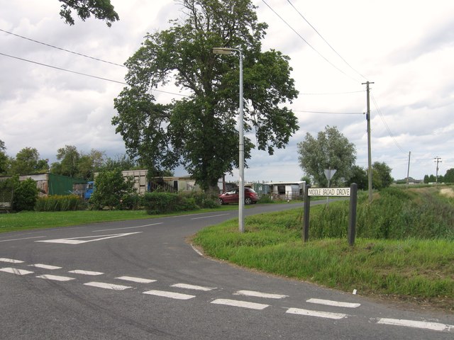
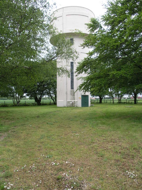
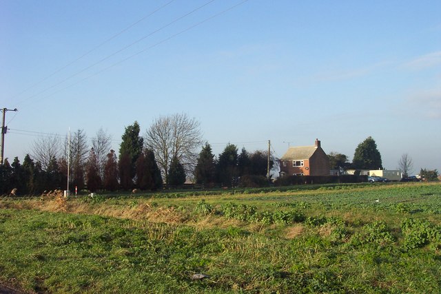
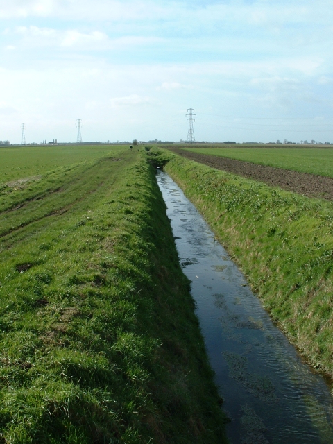
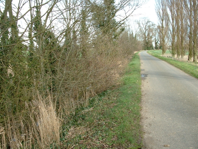
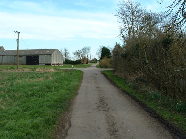
Shaffendike Field Images
Images are sourced within 2km of 52.708759/0.090315881 or Grid Reference TF4114. Thanks to Geograph Open Source API. All images are credited.


Shaffendike Field is located at Grid Ref: TF4114 (Lat: 52.708759, Lng: 0.090315881)
Division: Isle of Ely
Administrative County: Cambridgeshire
District: Fenland
Police Authority: Cambridgeshire
What 3 Words
///zone.vintages.metals. Near West Walton, Norfolk
Nearby Locations
Related Wikis

Newton-in-the-Isle
Newton-in-the-Isle is a village and civil parish in the Fenland District of the Isle of Ely, Cambridgeshire, England, The village is 4 miles (6 km) to...

Tydd St Giles
Tydd St Giles is a village in Fenland, Cambridgeshire, England. It is the northernmost village in the Isle of Ely, Cambridgeshire (bordering Lincolnshire...

Gorefield
Gorefield is a village and civil parish in the Fenland district of Cambridgeshire, England. At the time of the 2001 census, the parish's population was...
Leverington
Leverington is a village and civil parish in the Fenland District of Cambridgeshire, England. The settlement is to the north of Wisbech. At the time of...

Sutton St James
Sutton St James is a village and civil parish in the South Holland district of Lincolnshire, England, about four miles (6.4 km) south-west of Long Sutton...
Four Gotes
Four Gotes is a hamlet in the civil parish of Tydd St Giles in Cambridgeshire, England. The population is included in the civil parish of Leverington....
Ferry railway station
Ferry railway station was a railway station in Newton-in-the-Isle, Cambridgeshire. It was on the Midland and Great Northern Joint Railway between Sutton...

Leverington Hall
Leverington Hall is a 17th-century country house in the parish of Leverington, Cambridgeshire, England. The house is Grade I listed and is privately owned...
Nearby Amenities
Located within 500m of 52.708759,0.090315881Have you been to Shaffendike Field?
Leave your review of Shaffendike Field below (or comments, questions and feedback).