Balmer Down
Downs, Moorland in Sussex Lewes
England
Balmer Down
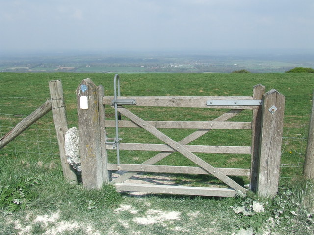
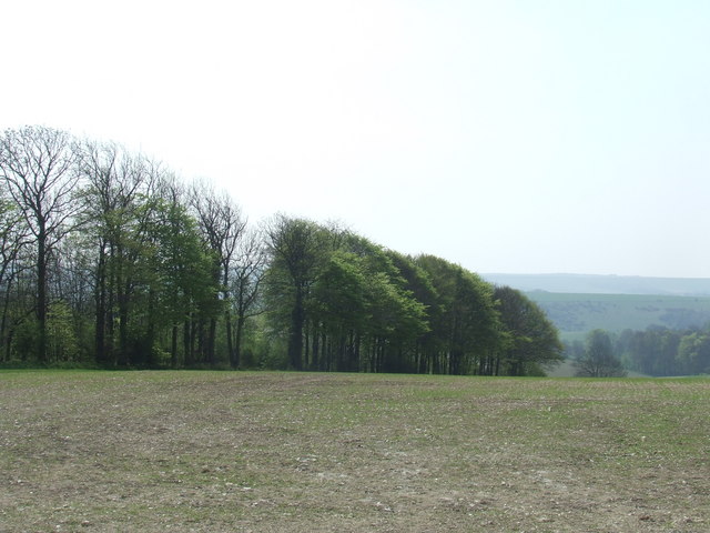
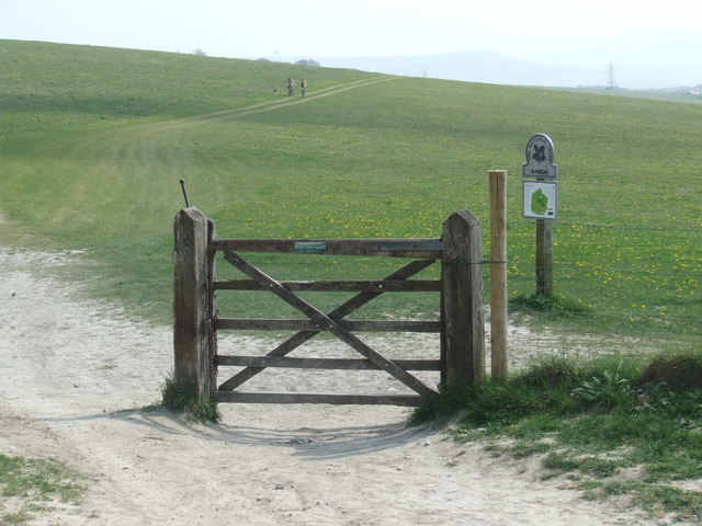
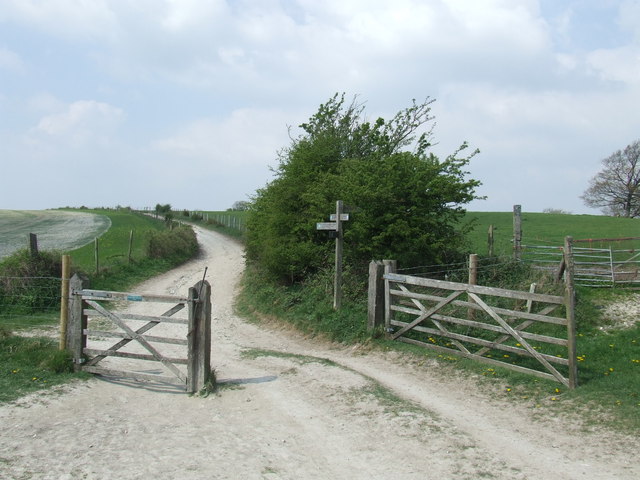
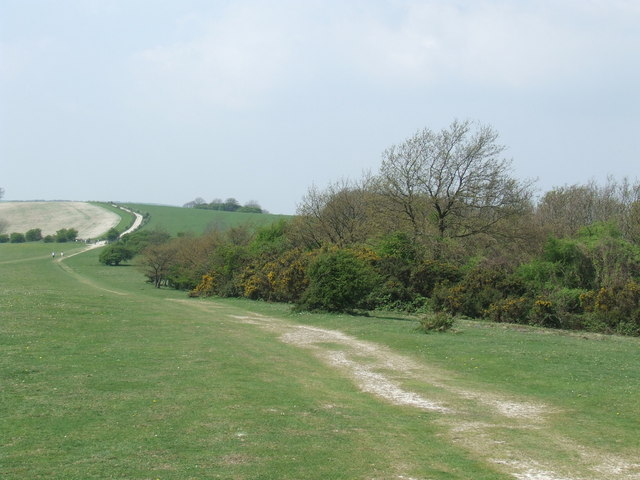
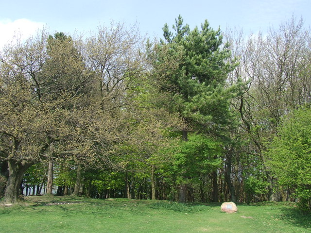
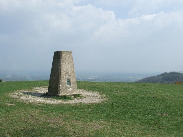
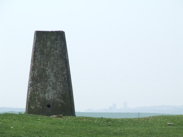
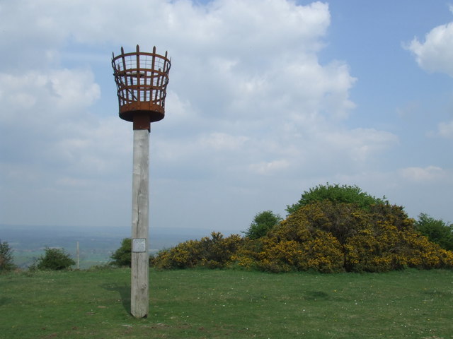
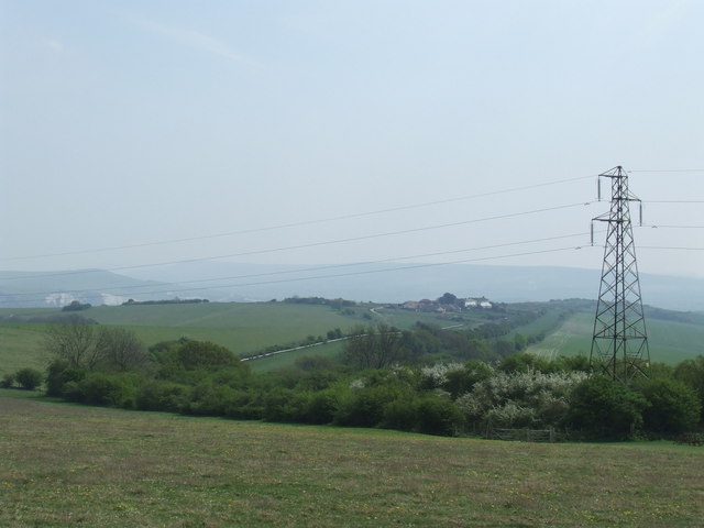
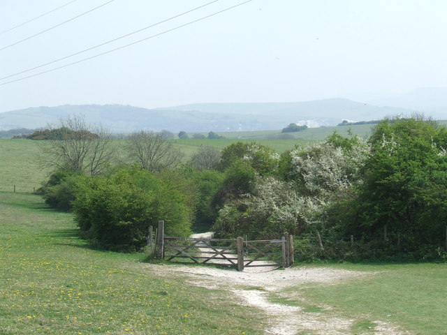
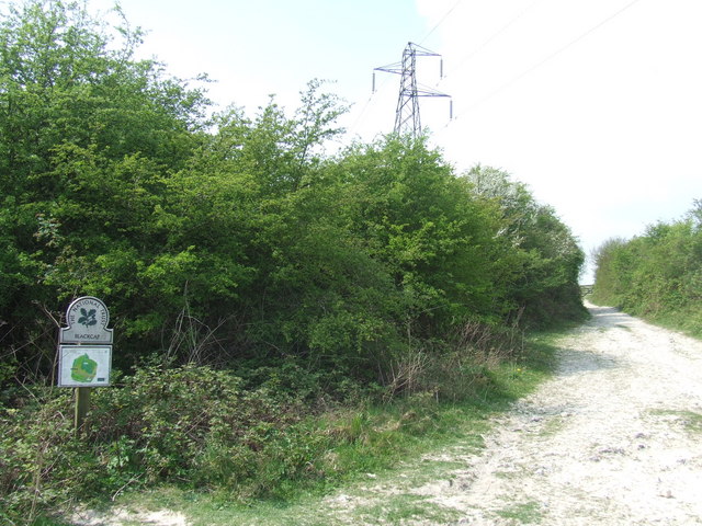
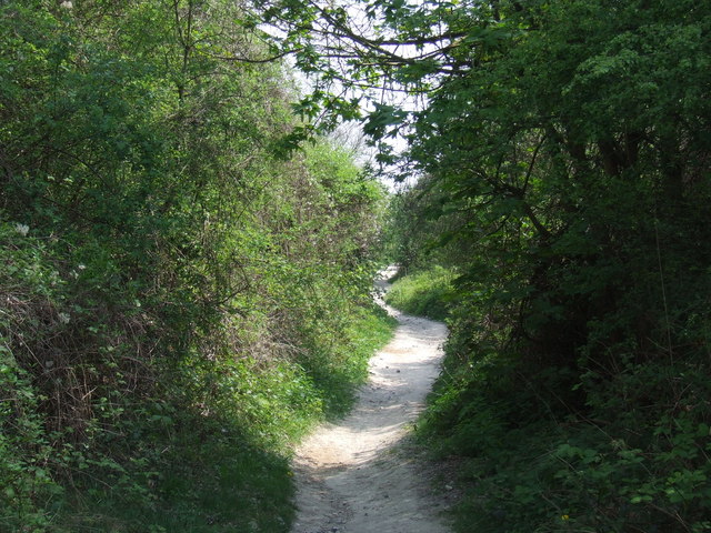
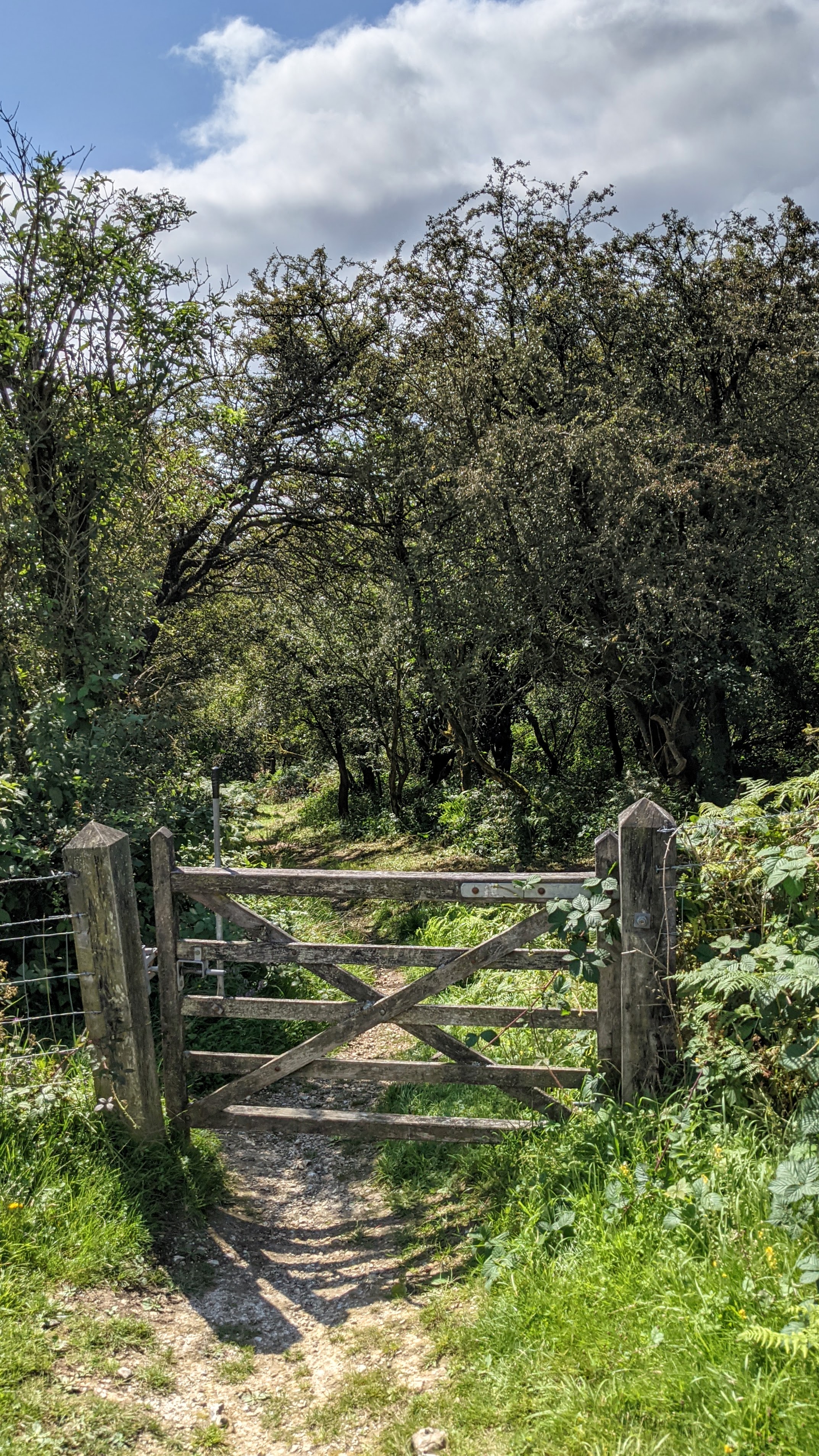
Balmer Down is a remarkable area located in Sussex, England, known for its stunning natural beauty and diverse landscapes. It encompasses a vast expanse of rolling hills and meadows, offering breathtaking views of the surrounding countryside. Situated within the South Downs National Park, Balmer Down is a paradise for nature enthusiasts and outdoor adventurers.
The downs of Balmer Down are characterized by their chalk grasslands, which provide a unique habitat for a wide variety of plant and animal species. Here, visitors can witness an array of wildflowers, including orchids, cowslips, and harebells, painting the landscape with vibrant colors during the spring and summer months. The area is also home to an abundance of bird species, such as skylarks and meadow pipits, making it a popular destination for birdwatching enthusiasts.
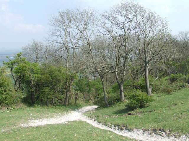
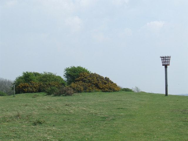
Additionally, Balmer Down features pockets of moorland, adding further diversity to its already picturesque scenery. These heathland areas are characterized by their purple hues, courtesy of heather plants that bloom during late summer. The moorland offers a stark contrast to the downs, with its rugged terrain and unique flora, including gorse and bilberry bushes.
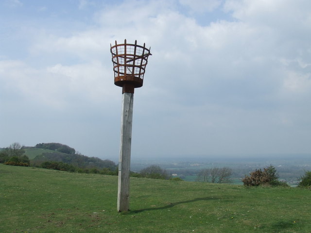
Balmer Down provides ample opportunities for outdoor activities, including hiking, cycling, and picnicking. Numerous well-marked trails traverse the area, allowing visitors to explore its hidden gems and discover its rich biodiversity. The peaceful and tranquil atmosphere of Balmer Down makes it an idyllic retreat for those seeking solace in nature.
Overall, Balmer Down in Sussex is a captivating destination, showcasing the beauty of British landscapes. With its downs, moorland, and abundant wildlife, it offers a truly immersive experience for nature lovers and adventurers alike.
If you have any feedback on the listing, please let us know in the comments section below.
Balmer Down Images
Images are sourced within 2km of 50.879688/-0.053956312 or Grid Reference TQ3710. Thanks to Geograph Open Source API. All images are credited.

Balmer Down is located at Grid Ref: TQ3710 (Lat: 50.879688, Lng: -0.053956312)
Administrative County: East Sussex
District: Lewes
Police Authority: Sussex
What 3 Words
///wiggling.nuzzled.panels. Near Lewes, East Sussex
Nearby Locations
Related Wikis

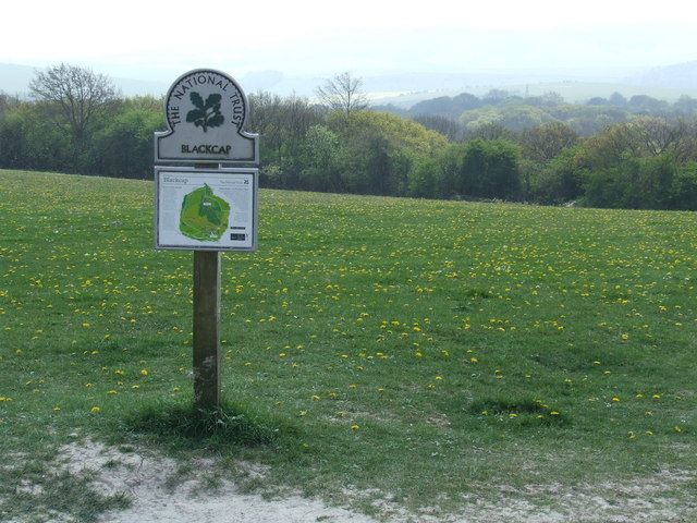
Blackcap, East Sussex
Blackcap is a hill and nature reserve in East Sussex, England. It is on a peak of the South Downs, just south east of Plumpton and west of Lewes. The flatter...
Ashcombe Bottom
Ashcombe Bottom (TQ 373 119) is a 66 hectares (160 acres) woodland valley owned by the National Trust that runs south from Blackcap, East Sussex, England...

St Ann Without
St Ann Without is a civil parish in the Lewes District of East Sussex, England. It covers an area to the west of the town of Lewes, including Long Hill...

Lewes Speed Trials
The Lewes Speed Trials were speed trials held on a defunct course in Lewes, Sussex, England, sometimes known as "The Motor Road." == History == The first...
Related Videos


Come Travel With Me - Euro 2022 - England v Norway went our way 🏴 in Brighton
Music - Song: MBB & ASHUTOSH - Sky Music provided by Eytheria No Copyright Music Video Link: https://youtu.be/Rdzlyo2rVLk ...

Nearby Amenities
Located within 500m of 50.879688,-0.053956312Have you been to Balmer Down?
Leave your review of Balmer Down below (or comments, questions and feedback).