Hattons Green
Downs, Moorland in Sussex Lewes
England
Hattons Green
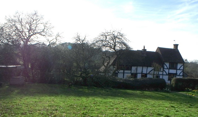
Hattons Green is a picturesque village located in the county of Sussex, England. Situated amidst the stunning backdrop of the Sussex Downs and Moorland, this small village is known for its natural beauty and tranquil atmosphere.
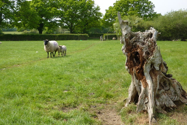
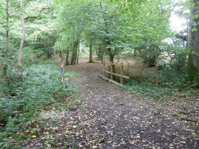
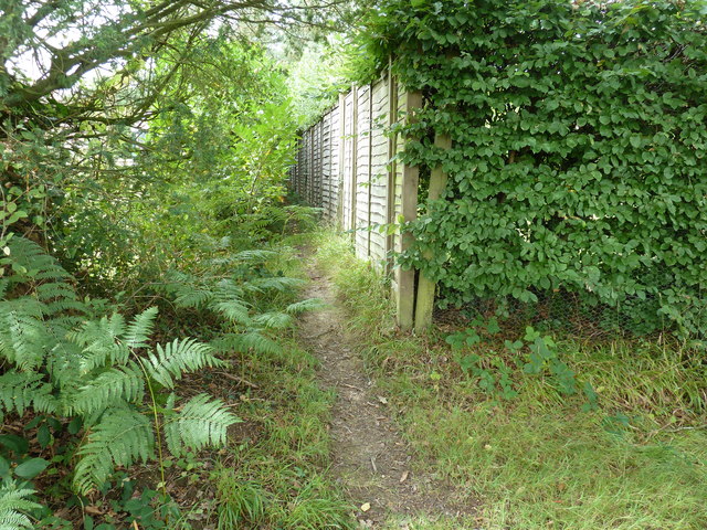
The village is characterized by its rolling green hills, vast meadows, and panoramic views of the surrounding countryside. It is a haven for nature lovers and outdoor enthusiasts, offering plenty of opportunities for walking, hiking, and exploring the great outdoors. The Sussex Downs, a designated Area of Outstanding Natural Beauty, provides a diverse range of flora and fauna, making it a popular destination for nature enthusiasts.
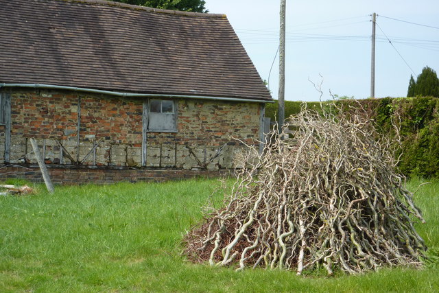
In addition to its natural charm, Hattons Green also boasts a close-knit community and a rich history. The village is home to several historic buildings and landmarks, including a quaint 13th-century church that adds to its timeless appeal. The locals take pride in preserving the village's heritage and organizing community events throughout the year.
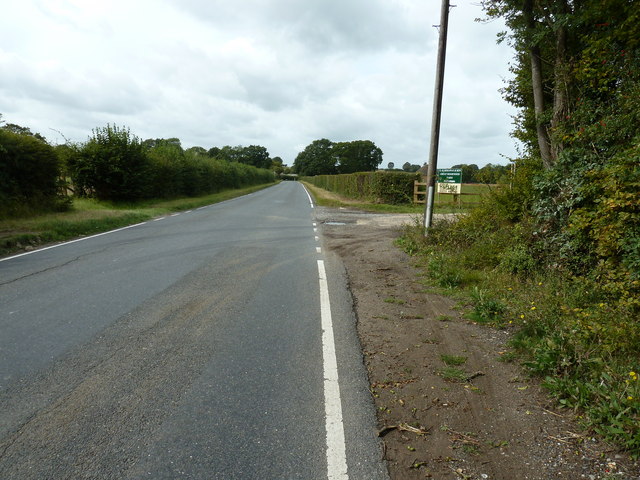
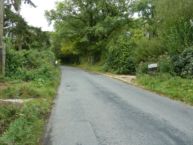
Despite its rural setting, Hattons Green is conveniently located within easy reach of nearby towns and cities. The bustling market town of Lewes is just a short drive away, offering a range of amenities, shops, and restaurants. The vibrant city of Brighton is also easily accessible, with its famous beachfront, cultural attractions, and lively nightlife.
Overall, Hattons Green is a hidden gem in Sussex, offering a unique blend of natural beauty, community spirit, and historic charm. Whether you are seeking a peaceful retreat or an active outdoor adventure, this idyllic village has something to offer for everyone.
If you have any feedback on the listing, please let us know in the comments section below.
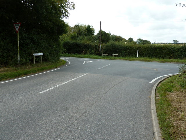
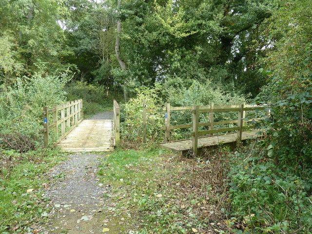
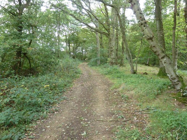
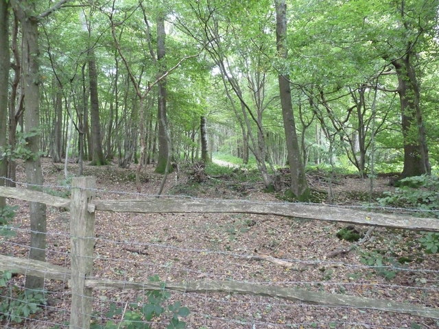
Hattons Green Images
Images are sourced within 2km of 50.940527/-0.051716146 or Grid Reference TQ3617. Thanks to Geograph Open Source API. All images are credited.


Hattons Green is located at Grid Ref: TQ3617 (Lat: 50.940527, Lng: -0.051716146)
Administrative County: East Sussex
District: Lewes
Police Authority: Sussex
What 3 Words
///blotches.competent.gulped. Near Plumpton Green, East Sussex
Nearby Locations
Related Wikis
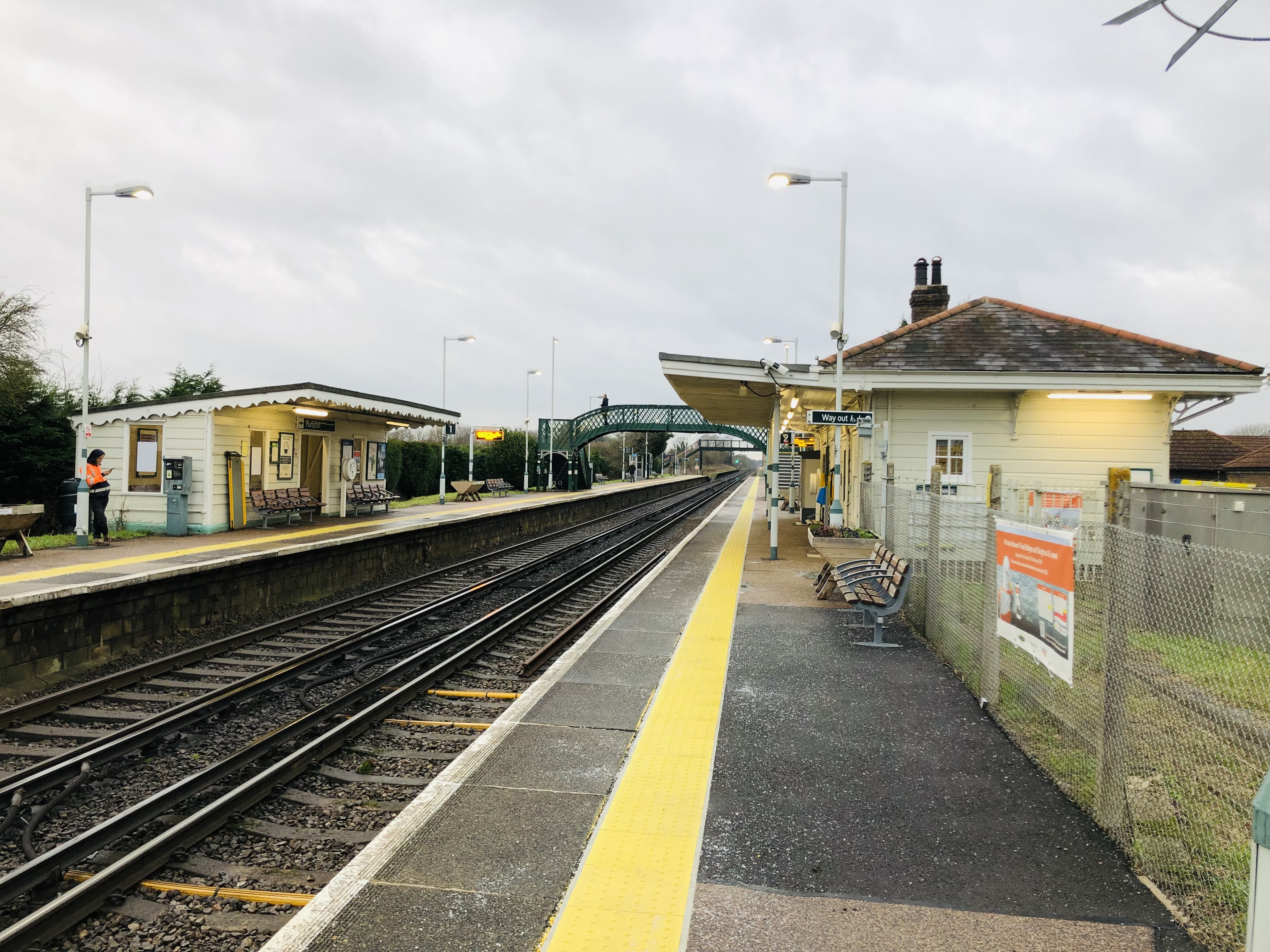
Plumpton railway station
Plumpton railway station serves the village of Plumpton in East Sussex, England. It is 44 miles 42 chains (71.7 km) from London Bridge via Redhill. Train...

RAF Chailey
RAF Chailey was a Royal Air Force Advanced Landing Ground close to the village of Chailey near Burgess Hill in East Sussex during the Second World War...

Chailey School
Chailey Secondary School opened in April 1958, is a comprehensive secondary school located in the village of South Chailey, Chailey, just outside Lewes...
Plumpton Racecourse
Plumpton Racecourse is a National Hunt racecourse in the village of Plumpton, East Sussex near Lewes and Brighton. Racing first took place at Plumpton...
Related Videos

Sunday, Scaynes Hill, happy dogs, dog beer in Cockinn
dog #sunday #sunset #walking #beer #gopro.

The perfect wines for your Christmas celebrations!
Are you looking for the perfect sparkling wines to see you through the festive season? Well, look no further… Our Christmas ...

Sunflower Field Flyover
A short flyover of a lovely sunflower field near east chiltington with my DJI Mavic 2 Pro.
wrong thing wrong place BBC tv news March 27, 2021 Eton College plans new town in East Chiltington
This sparsely populated parish of East Chiltington in East Sussex is mostly down land fields in and along the South Downs ...
Nearby Amenities
Located within 500m of 50.940527,-0.051716146Have you been to Hattons Green?
Leave your review of Hattons Green below (or comments, questions and feedback).