Gull Field
Downs, Moorland in Huntingdonshire Huntingdonshire
England
Gull Field
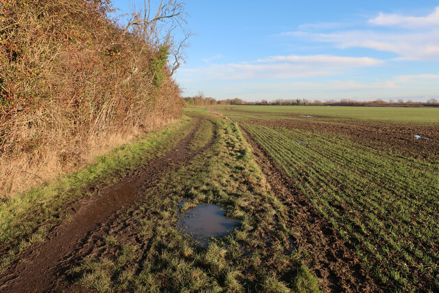
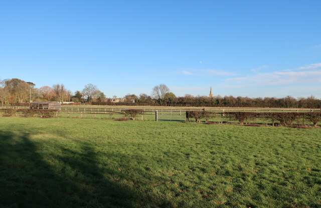
Gull Field is a picturesque area located in Huntingdonshire, a historic county in the East of England. Situated in the Downs region, Gull Field is known for its stunning landscapes and breathtaking moorlands.
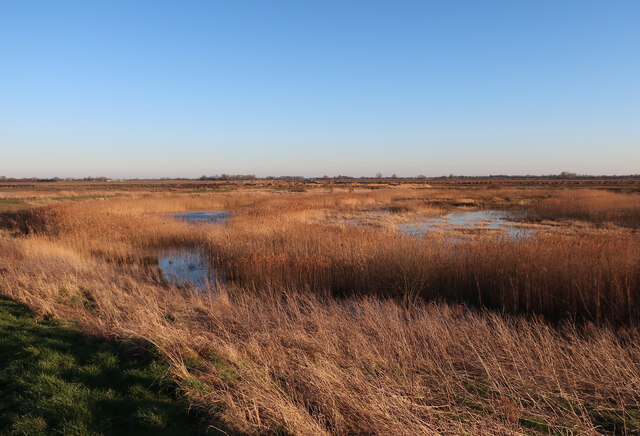
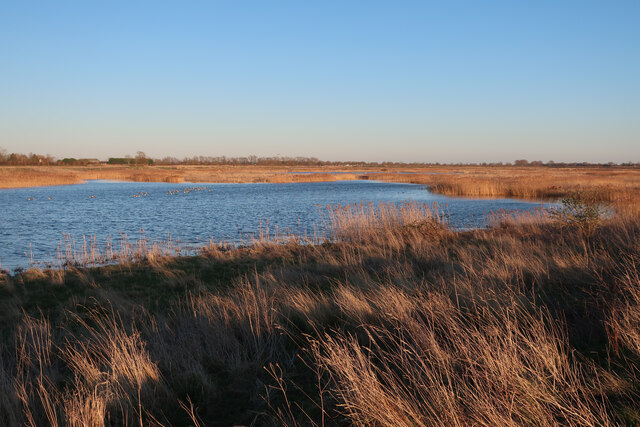
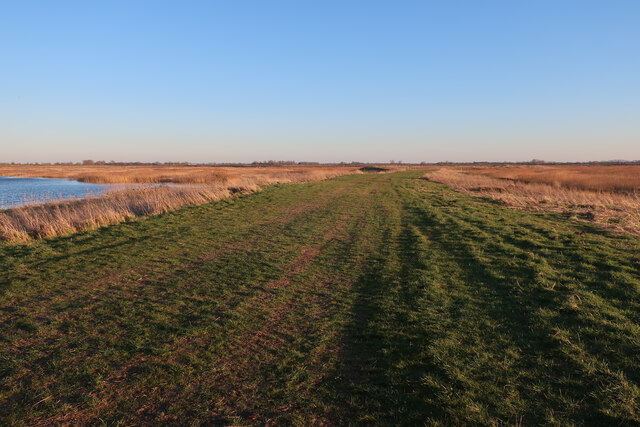
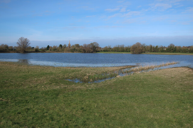
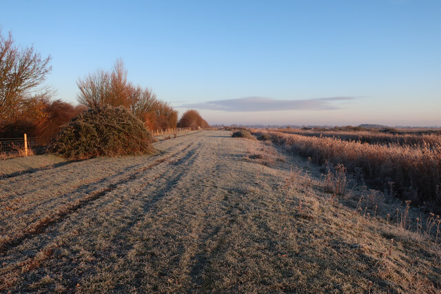
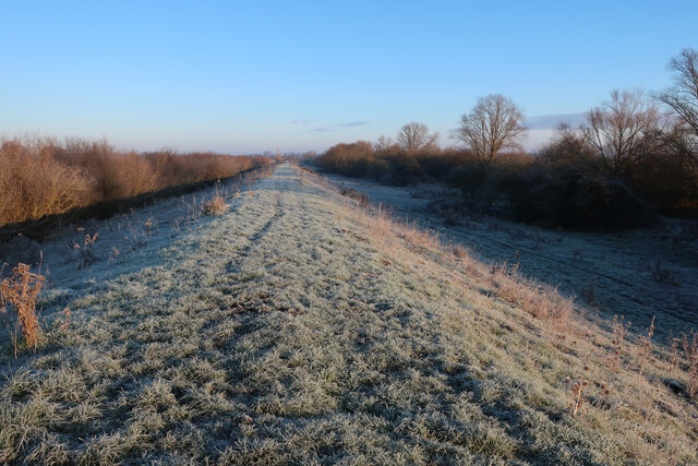
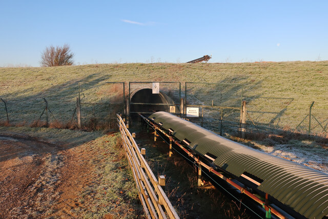
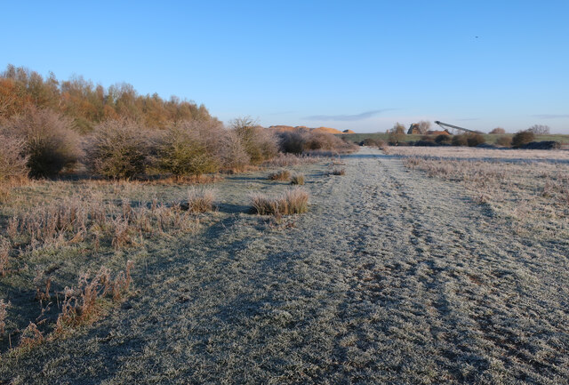
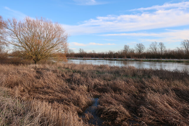
Covering an expansive area, Gull Field is characterized by rolling hills, vast meadows, and heathlands that stretch as far as the eye can see. The moorland in particular is a sight to behold, with its open spaces and unique vegetation, including heather, gorse, and wild grasses. This diverse ecosystem is home to a variety of wildlife, such as birds, rabbits, and deer, making it a popular destination for nature enthusiasts and wildlife photographers.
The geology of Gull Field is also noteworthy, with rock formations dating back millions of years. Fossils can occasionally be found in the area, providing valuable insights into the region's prehistoric past.
Visitors to Gull Field can enjoy a range of outdoor activities, including hiking, birdwatching, and picnicking. The peaceful atmosphere and stunning vistas make it an ideal spot for relaxation and contemplation.
The local community takes pride in preserving the natural beauty of Gull Field, ensuring that it remains a protected area for future generations to enjoy. Access to the site is well-maintained, with footpaths and trails enabling visitors to explore the area easily and safely.
Overall, Gull Field in Huntingdonshire is a true gem, offering a tranquil escape from the hustle and bustle of modern life and providing a haven for both nature lovers and those seeking solace in the beauty of the countryside.
If you have any feedback on the listing, please let us know in the comments section below.
Gull Field Images
Images are sourced within 2km of 52.347465/0.006849056 or Grid Reference TL3674. Thanks to Geograph Open Source API. All images are credited.
![Houses at Bluntisham A semi-detached pair at the junction of Holliday's Road with Rectory Road [A1123]. The RH one looks as if it has nest boxes for swifts, or other birds, under the eaves?](https://s1.geograph.org.uk/geophotos/07/17/66/7176609_75df0a8f.jpg)
![The Colne Road [B1050] at Earith The brick building is a gas governor.](https://s3.geograph.org.uk/geophotos/07/17/74/7177435_f9677a8f.jpg)
![Cook's Drove, Earith At its junction with Colne Road [B1050].](https://s3.geograph.org.uk/geophotos/07/17/74/7177443_dec662d9.jpg)

Gull Field is located at Grid Ref: TL3674 (Lat: 52.347465, Lng: 0.006849056)
Administrative County: Cambridgeshire
District: Huntingdonshire
Police Authority: Cambridgeshire
What 3 Words
///shuts.dumplings.slap. Near Bluntisham, Cambridgeshire
Nearby Locations
Related Wikis

Bluntisham railway station
Bluntisham railway station was a station in Bluntisham, Cambridgeshire on the Ely and St Ives Railway. The station closed for regular passenger services...

Bluntisham
Bluntisham is a village and civil parish in Cambridgeshire, England. The population of the civil parish at the 2011 census was 2,003. Bluntisham lies approximately...

Earith
Earith is a village and civil parish in Cambridgeshire, England. Lying approximately 10 miles (16 km) east of Huntingdon, Earith is situated within Huntingdonshire...

Berry Fen
Berry Fen is a 15.3-hectare (38-acre) biological Site of Special Scientific Interest on the western outskirts of Earith in Cambridgeshire.This neutral...
Related Videos

409 - The Least Helpful Lock Keepers on the River!
We have a very long cruising day as we travel from Ely to Earith and beyond on the River Great Ouse. The route took us down the ...
Funny dog fail video - cute puppy - dog jumping Actual footage of me making decisions
Out for a nice walk, geocaching in the british winter when we came across a nice ditch to jump. The dog joined in too, with some ...

Voodoo Haze - Tush (ZZ Top cover)
Follow us https://www.facebook.com/voodoohaze Voodoo Haze are a four-piece band from Peterborough UK that specialise in ...
Nearby Amenities
Located within 500m of 52.347465,0.006849056Have you been to Gull Field?
Leave your review of Gull Field below (or comments, questions and feedback).