Wisbech High Fen

Downs, Moorland in Cambridgeshire Fenland

England

Wisbech High Fen

Fen  morning View across Wisbech Fen from Thorney Road, Guyhirn.
Fen morning Credit: Tony Bennett

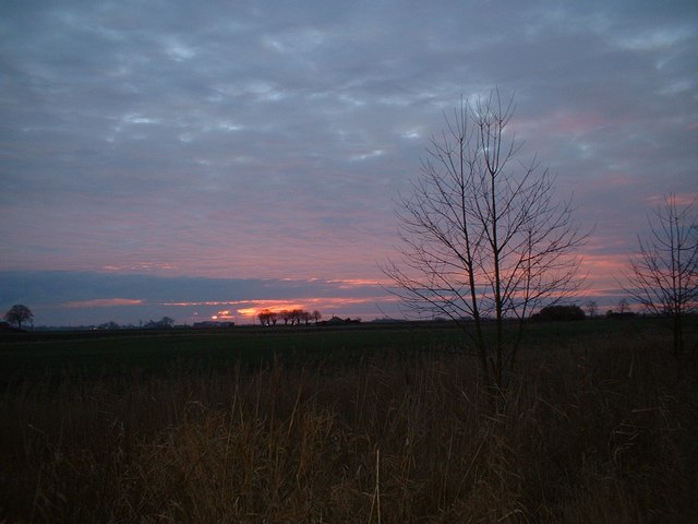
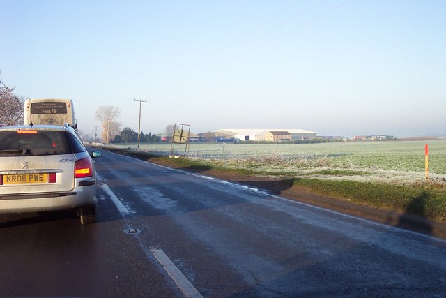
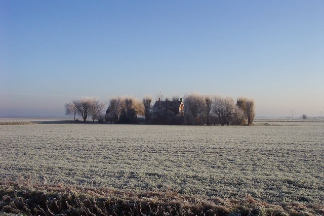
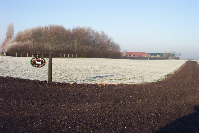
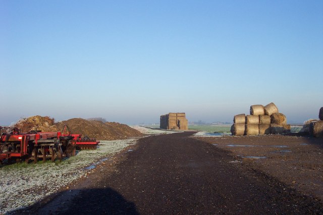
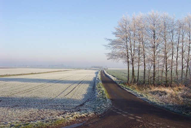
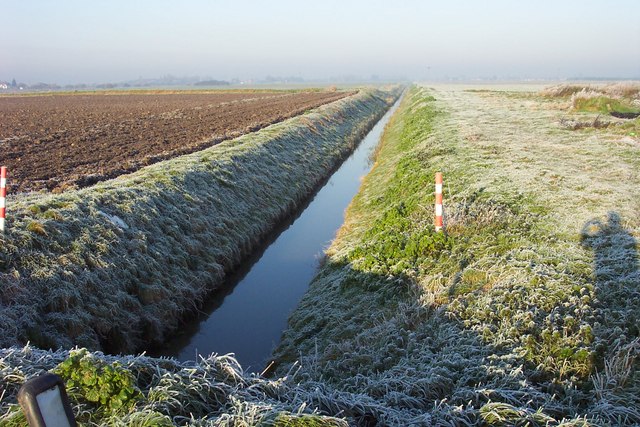
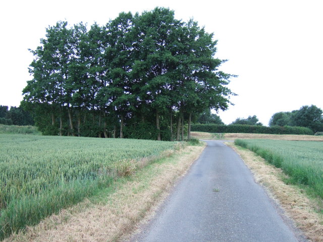
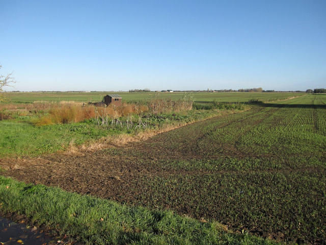
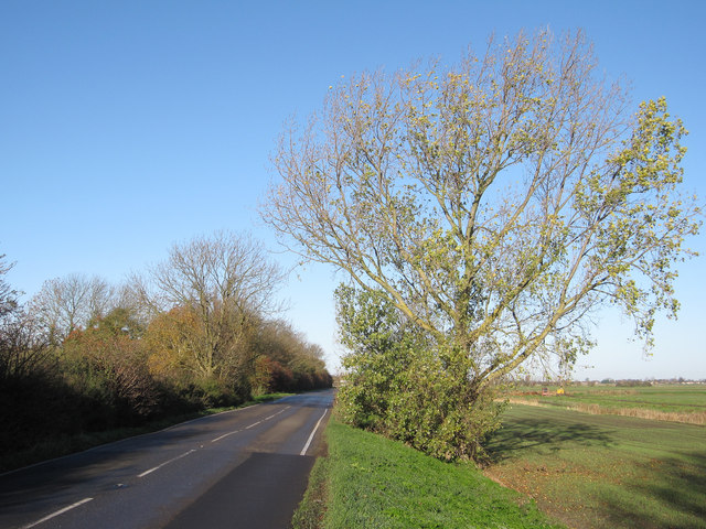
Wisbech High Fen is a unique and diverse landscape located in the county of Cambridgeshire, East Anglia, England. Covering an area of approximately 2,000 hectares, it is known for its distinct downs and moorland features. The area is characterized by its flat terrain and abundant wetland habitats, making it a haven for wildlife and a popular destination for nature enthusiasts.

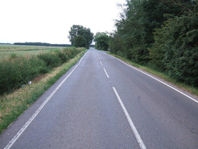
The downs of Wisbech High Fen offer breathtaking panoramic views of the surrounding countryside. With their gently rolling hills and open grasslands, they provide a picturesque backdrop for walkers and hikers. Visitors can enjoy long walks along well-maintained trails while taking in the beauty of the countryside.

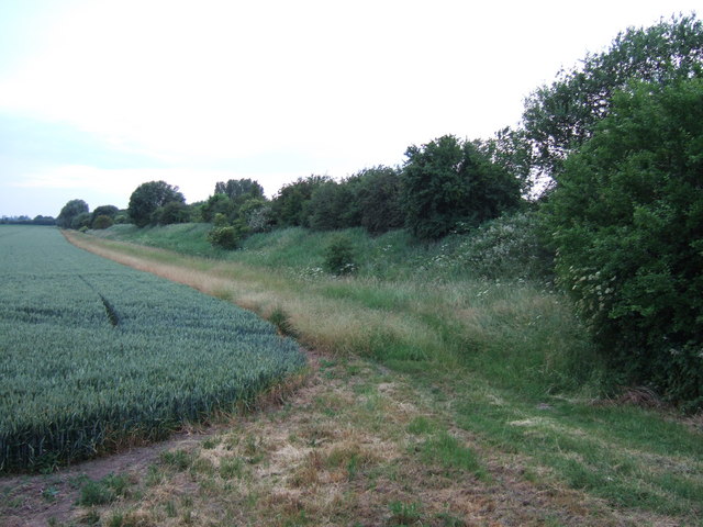
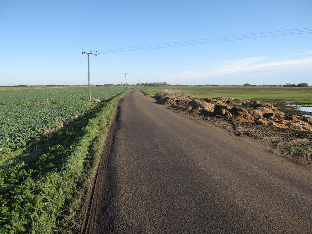
In contrast, the moorland areas of Wisbech High Fen are rich in biodiversity. Wetlands, marshes, and reed beds dominate the landscape, creating an ideal habitat for a variety of bird species, including the rare bittern and marsh harrier. The fens are also home to numerous plant species, such as the yellow flag iris and the purple loosestrife.

The area is managed by conservation organizations to preserve its unique ecosystem and protect its wildlife. A network of boardwalks and observation points has been established to allow visitors to explore the wetlands while minimizing disturbance to the habitat.

Wisbech High Fen is not only a haven for wildlife but also a significant archaeological site. The remains of ancient settlements, including Bronze Age barrows and Roman pottery, have been discovered in the area, providing valuable insights into the region's history.

Overall, Wisbech High Fen is a remarkable natural landscape that offers visitors a chance to immerse themselves in the beauty of Cambridgeshire's downs and moorland while appreciating its rich biodiversity and historical significance.

If you have any feedback on the listing, please let us know in the comments section below.

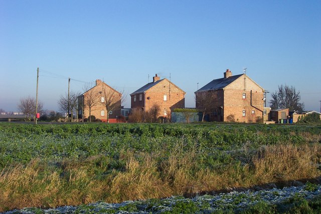
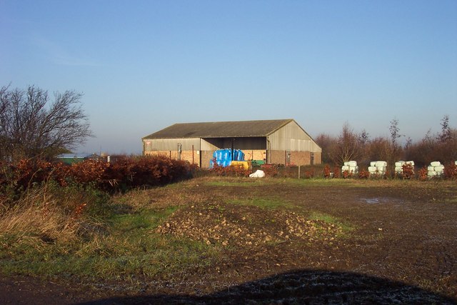
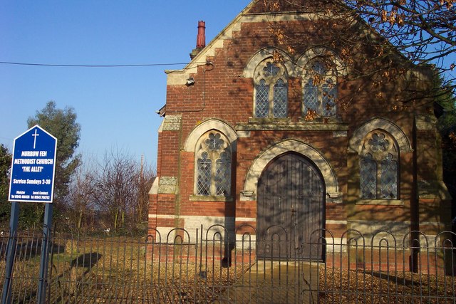
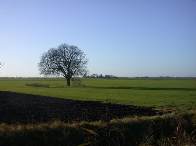
Wisbech High Fen Images

Images are sourced within 2km of 52.619768/0.022709808 or Grid Reference TF3704. Thanks to Geograph Open Source API. All images are credited.

Fen  morning View across Wisbech Fen from Thorney Road, Guyhirn.
Fen morning
View across Wisbech Fen from Thorney Road, Guyhirn.
Waiting on the A47 One of the many sets of works on the dreaded A47 between Guyhirn and Peterborough.
Over to the right are warehouses belonging to transport firm, Bretts.
Waiting on the A47
One of the many sets of works on the dreaded A47 between Guyhirn and Peterborough. Over to the right are warehouses belonging to transport firm, Bretts.
The Gables A house surrounded by willows on Gull Drove.
The Gables
A house surrounded by willows on Gull Drove.
Hundreds Farm On Gull Drove in Wisbech High Fen. How high? Sea level!
Hundreds Farm
On Gull Drove in Wisbech High Fen. How high? Sea level!
New track to Fort Farm
North of Towers Farm A new track, not on OS, leads to here from Fort Farm on Gull Drove.
North of Towers Farm
A new track, not on OS, leads to here from Fort Farm on Gull Drove.
Frosty view along Folly's Drove From Gull Bank
Frosty view along Folly's Drove
From Gull Bank
Drain off Plash Drove
Three fenland cottages
Alley Farm On Hook's Drove, the collection of buildings along this lane is known as Rogue's Alley!
Alley Farm
On Hook's Drove, the collection of buildings along this lane is known as Rogue's Alley!
Murrow Fen Methodist Church, 'The Alley'
Green field, black tree The winter wheat is sprouting but nature is shutting down for the winter
Green field, black tree
The winter wheat is sprouting but nature is shutting down for the winter
Former railway embankment between Murrow and Guyhirn A north westerly view from Gull Drove close to the old level crossing position. This embankment once carried the GE & GN Joint Line from Spalding to March over the fenland and closed in November 1982.
Former railway embankment between Murrow and Guyhirn
A north westerly view from Gull Drove close to the old level crossing position. This embankment once carried the GE & GN Joint Line from Spalding to March over the fenland and closed in November 1982.
Murrow Bank or Gull Bank? This raised road runs from Murrow to Guyhirn on top of a bank which was once part of the flood defence system in the Fens. Somewhere near this point the road name changes from Murrow Bank to Gull Bank but historically it is called Fendyke Bank.
Fendyke Bank, the great bank stretching from Cloughs Cross on the Lincolnshire border southwards to Guyhirn, is one of the most important in the district. For many hundreds of years it was the bastion of defence against the fresh waters coming down from the upland counties, and the landward counterpart to the old sea bank on the east side of Leverington. Fendyke protected the whole district on the north side of Wisbech which includes Tydd St. Giles, Newton, Leverington, Guyhirn, and Wisbech St. Mary. Its importance cannot therefore be exaggerated, and the most stringent measures were taken to ensure its safety. The obligation to maintain the bank was imposed on the landowners in the protected parishes.
A great breach was made in the bank in 1437, when 13,400 acres were flooded through the default of one Thomas Flower, the owner of 24 acres in Wisbech High Fen. (fn. 5) Further breaches occurred in 1570 (fn. 6) and in 1770. At the latter date a gap 130 yards wide was made, probably at Abel's Gull. Parts of the country-side were flooded to a depth of 6 feet, and were not brought back into cultivation for three years. So sudden was the disaster that some fled for their lives to Thorney Abbey and the higher lands around. (fn. 7) 
The Fendyke may be said to mark the boundary between the 'peat' and 'silt' portions of the parish. The former, comprising Parson Drove Fen, has always been less highly valued and was formerly used mainly as sheep pasturage; it is sparsely populated. The latter, which is the area of ancient settlement, forms part of the Wisbech fruit-growing and market-gardening district.

From: 'Wisbech Hundred: Chapeiry of Parson Drove', A History of the County of Cambridge and the Isle of Ely: Volume 4: City of Ely; Ely, N. and S. Witchford and Wisbech Hundreds  (2002), pp. 197-200. URL: <span class="nowrap"><a title="http://www.british-history.ac.uk/report.aspx?compid=21917" rel="nofollow ugc noopener" href="http://www.british-history.ac.uk/report.aspx?compid=21917">Link</a><img style="margin-left:2px;" alt="External link" title="External link - shift click to open in new window" src="https://s1.geograph.org.uk/img/external.png" width="10" height="10"/></span>  Date accessed: 12 July 2011.
Murrow Bank or Gull Bank?
This raised road runs from Murrow to Guyhirn on top of a bank which was once part of the flood defence system in the Fens. Somewhere near this point the road name changes from Murrow Bank to Gull Bank but historically it is called Fendyke Bank. Fendyke Bank, the great bank stretching from Cloughs Cross on the Lincolnshire border southwards to Guyhirn, is one of the most important in the district. For many hundreds of years it was the bastion of defence against the fresh waters coming down from the upland counties, and the landward counterpart to the old sea bank on the east side of Leverington. Fendyke protected the whole district on the north side of Wisbech which includes Tydd St. Giles, Newton, Leverington, Guyhirn, and Wisbech St. Mary. Its importance cannot therefore be exaggerated, and the most stringent measures were taken to ensure its safety. The obligation to maintain the bank was imposed on the landowners in the protected parishes. A great breach was made in the bank in 1437, when 13,400 acres were flooded through the default of one Thomas Flower, the owner of 24 acres in Wisbech High Fen. (fn. 5) Further breaches occurred in 1570 (fn. 6) and in 1770. At the latter date a gap 130 yards wide was made, probably at Abel's Gull. Parts of the country-side were flooded to a depth of 6 feet, and were not brought back into cultivation for three years. So sudden was the disaster that some fled for their lives to Thorney Abbey and the higher lands around. (fn. 7) The Fendyke may be said to mark the boundary between the 'peat' and 'silt' portions of the parish. The former, comprising Parson Drove Fen, has always been less highly valued and was formerly used mainly as sheep pasturage; it is sparsely populated. The latter, which is the area of ancient settlement, forms part of the Wisbech fruit-growing and market-gardening district. From: 'Wisbech Hundred: Chapeiry of Parson Drove', A History of the County of Cambridge and the Isle of Ely: Volume 4: City of Ely; Ely, N. and S. Witchford and Wisbech Hundreds (2002), pp. 197-200. URL: LinkExternal link Date accessed: 12 July 2011.
Trees on Folly's Drove Between the fenland villages of Guyhirn and Murrow. For a reverse view in winter see link - <a title="https://www.geograph.org.uk/photo/296954" href="https://www.geograph.org.uk/photo/296954">Link</a>
Trees on Folly's Drove
Between the fenland villages of Guyhirn and Murrow. For a reverse view in winter see link - Link
Smallholding area off Gull Bank Small area of vegetables amongst the large arable fields.
Smallholding area off Gull Bank
Small area of vegetables amongst the large arable fields.
Gull Bank B1187 from Guyhirn to Murrow.
Gull Bank
B1187 from Guyhirn to Murrow.
Plash Drove Heading towards Tholomas Drove.
Plash Drove
Heading towards Tholomas Drove.
Show me another place!

Wisbech High Fen is located at Grid Ref: TF3704 (Lat: 52.619768, Lng: 0.022709808)

Division: Isle of Ely

Administrative County: Cambridgeshire

District: Fenland

Police Authority: Cambridgeshire

What 3 Words

///shoebox.blown.corner. Near Gedney Hill, Lincolnshire

Nearby Locations

Wisbech High Fen

Related Wikis

Murrow, Cambridgeshire

Murrow is a village in the civil parish of Wisbech St Mary, in Cambridgeshire, England.The village is on Murrow Bank, the B1187 road, 5 miles (8 km) west...

Murrow West railway station

Murrow West railway station was a station on the Great Northern and Great Eastern Joint Railway in Murrow, Cambridgeshire between Spalding, England, and...

Murrow East railway station

Murrow East railway station was a station in Murrow, Cambridgeshire. It was on the Midland and Great Northern Joint Railway line between Wisbech and Peterborough...

Adventurers' Land

Adventurers' Land is a 10.1-hectare (25-acre) geological Site of Special Scientific Interest (SSSI) north of March in Cambridgeshire. It is a Geological...

Thorney Toll

Thorney Toll is a hamlet in Fenland District, in the Isle of Ely, Cambridgeshire, England. The hamlet sits either side of the A47 between Guyhirn and Peterborough...

Guyhirn

Guyhirn (sometimes spelled Guyhirne) is a village near the town of Wisbech in Cambridgeshire, England. It is on the northern bank of the River Nene, at...

Ring's End

Ring's End is a hamlet near Guyhirn in the Isle of Ely in Cambridgeshire, England. The population is included in the civil parish of Elm in the Fenland...

Guyhirne railway station

Guyhirne railway station was a station at Ring's End, near Guyhirn, Cambridgeshire on the Great Northern and Great Eastern Joint Railway between Spalding...

Related Videos

Have you been to Wisbech High Fen?

Leave your review of Wisbech High Fen below (or comments, questions and feedback).