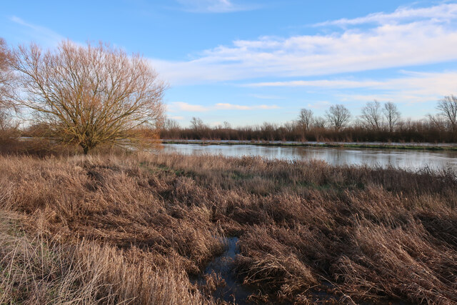
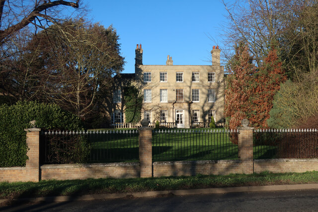
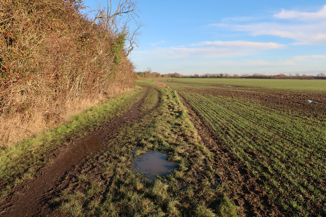
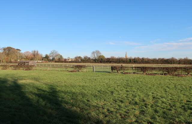
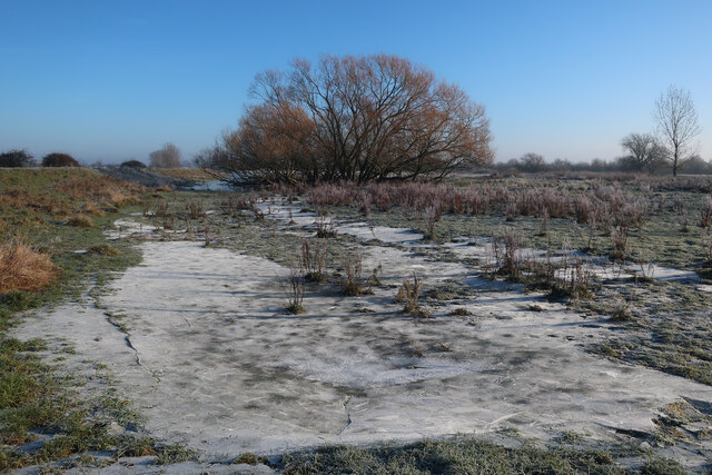
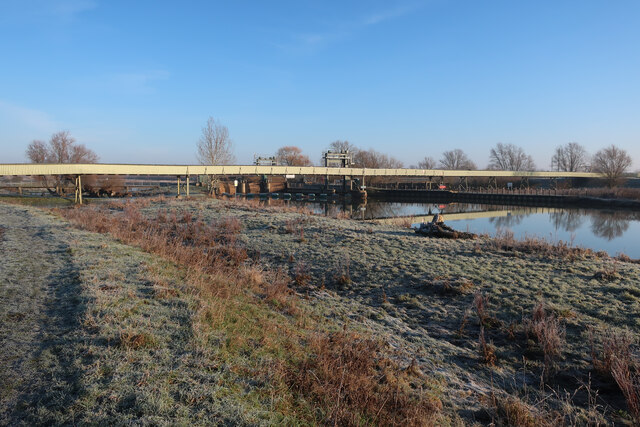
West Fen
Downs, Moorland in Huntingdonshire Huntingdonshire
England
West Fen
The requested URL returned error: 429 Too Many Requests
If you have any feedback on the listing, please let us know in the comments section below.
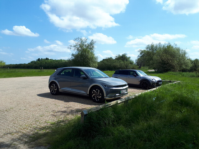
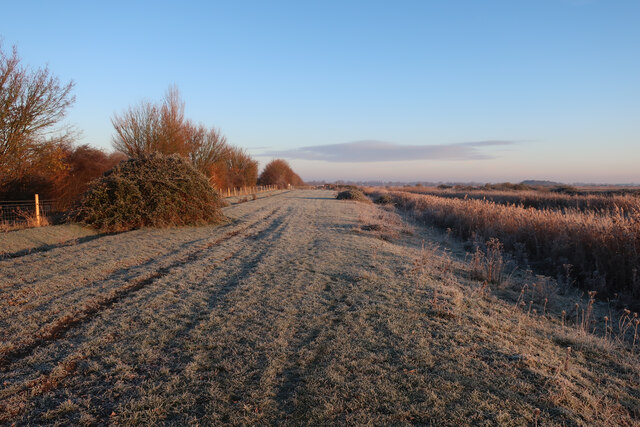
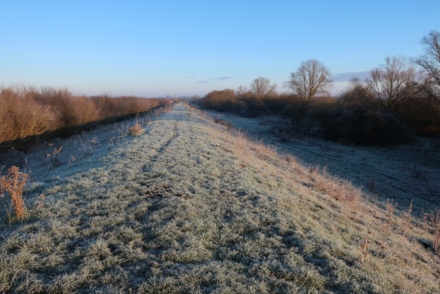
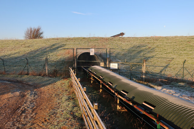
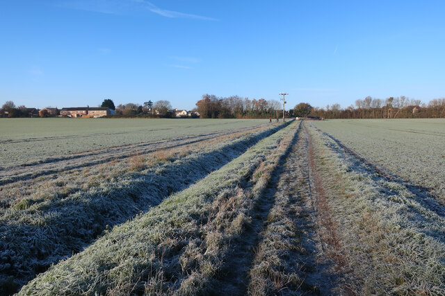
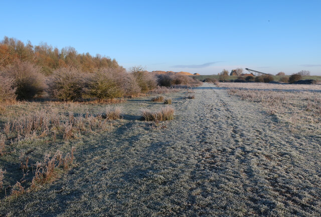
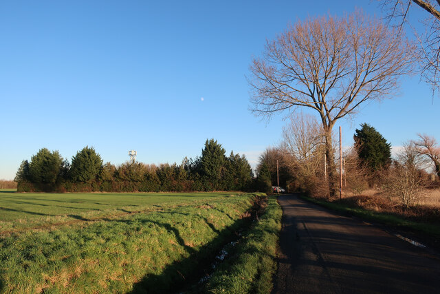
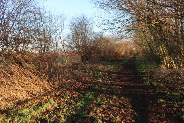
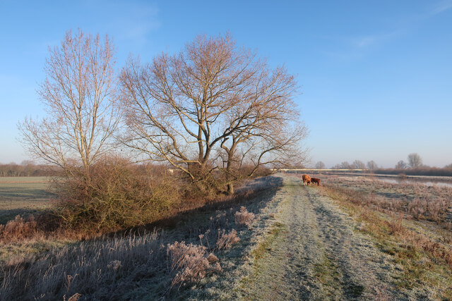
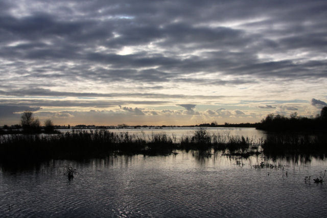
West Fen Images
Images are sourced within 2km of 52.338836/-0.009850493 or Grid Reference TL3573. Thanks to Geograph Open Source API. All images are credited.

West Fen is located at Grid Ref: TL3573 (Lat: 52.338836, Lng: -0.009850493)
Administrative County: Cambridgeshire
District: Huntingdonshire
Police Authority: Cambridgeshire
What 3 Words
///blocking.advantage.slurping. Near Needingworth, Cambridgeshire
Nearby Locations
Related Wikis

Cambridgeshire
Cambridgeshire (abbreviated Cambs.) is a ceremonial county in the East of England and East Anglia. It is bordered by Lincolnshire to the north, Norfolk...
List of Sites of Special Scientific Interest in Cambridgeshire
Cambridgeshire is a county in eastern England, with an area of 339,746 hectares (1,312 sq mi) and a population as of mid-2015 of 841,218. It is crossed...

List of local nature reserves in Cambridgeshire
Cambridgeshire is a county in eastern England, with an area of 1,308 square miles (3,390 km2) and a population as of 2011 of 708,719. It is crossed by...

Bluntisham railway station
Bluntisham railway station was a station in Bluntisham, Cambridgeshire on the Ely and St Ives Railway. The station closed for regular passenger services...
Nearby Amenities
Located within 500m of 52.338836,-0.009850493Have you been to West Fen?
Leave your review of West Fen below (or comments, questions and feedback).