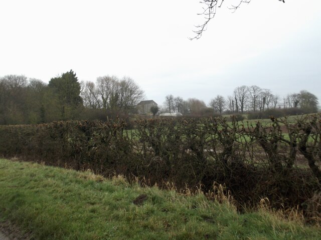
North Field

Downs, Moorland in Yorkshire

England

North Field

Fields by Weeton North Lane
Fields by Weeton North Lane Credit: David Brown

The requested URL returned error: 429 Too Many Requests

If you have any feedback on the listing, please let us know in the comments section below.
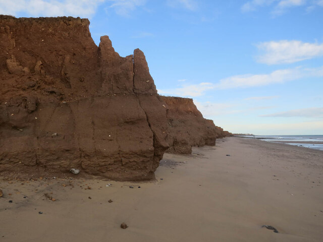
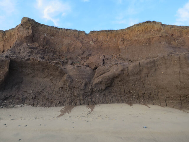
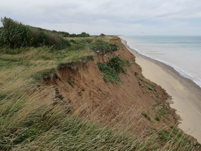
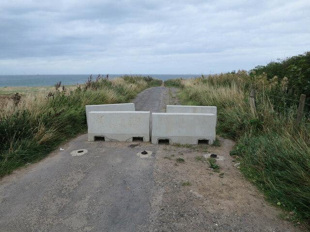
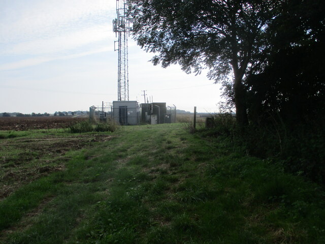
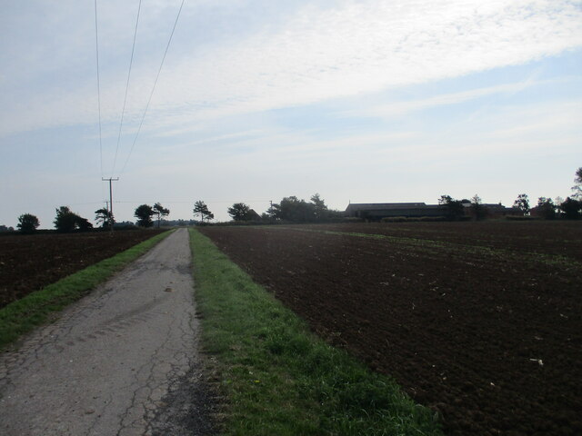
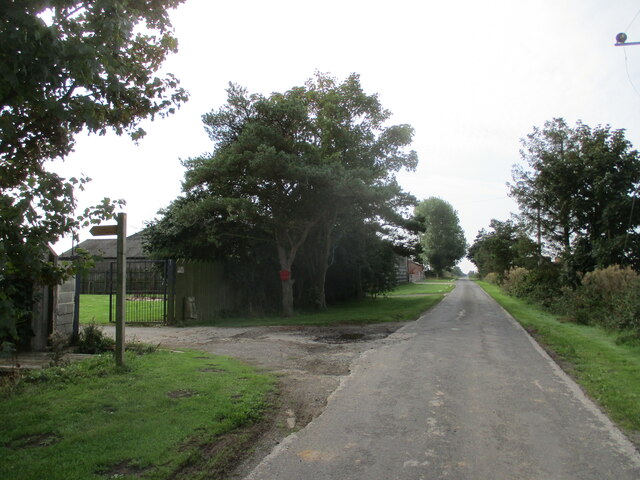
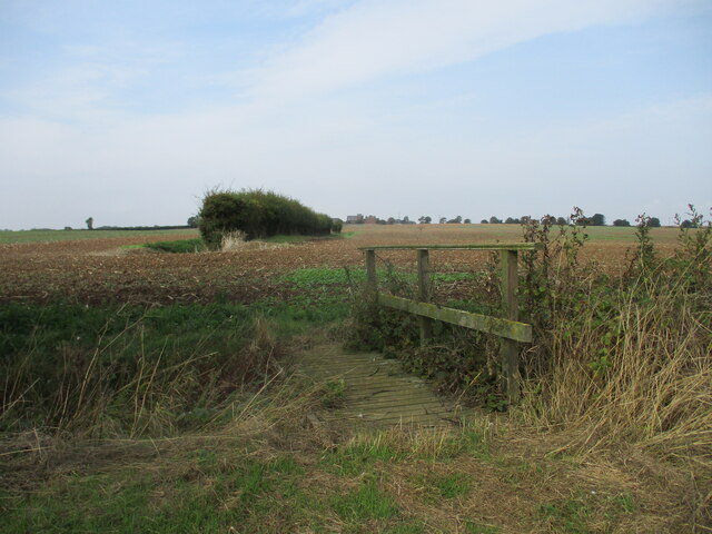
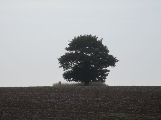
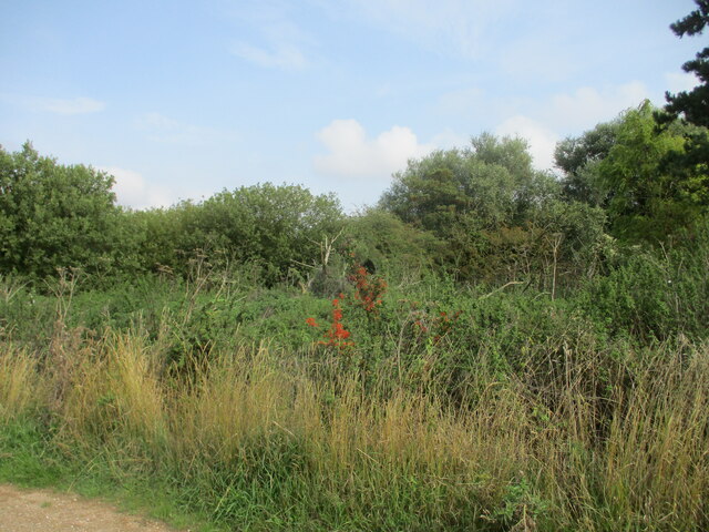
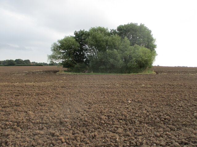
North Field Images

Images are sourced within 2km of 53.692299/0.052809781 or Grid Reference TA3523. Thanks to Geograph Open Source API. All images are credited.

Fields by Weeton North Lane
Crumbling coastline south of Withernsea Rapidly eroding glacial deposits along the Holderness coast.
Crumbling coastline south of Withernsea
Rapidly eroding glacial deposits along the Holderness coast.
Eroding cliffs south of Withernsea Rapidly eroding glacial deposits along the Holderness coast.
Eroding cliffs south of Withernsea
Rapidly eroding glacial deposits along the Holderness coast.
Coastal erosion at Holmpton Rapidly eroding glacial deposits along the Holderness coast.
Coastal erosion at Holmpton
Rapidly eroding glacial deposits along the Holderness coast.
Closed road, Hompton With the end of the road being rapidly lost to erosion.
Closed road, Hompton
With the end of the road being rapidly lost to erosion.
Field  edge  footpath  to  Beacon  Hill,  26 metres  high At the end of the trees on the right is the footpath signpost and the trig post
Field edge footpath to Beacon Hill, 26 metres high
At the end of the trees on the right is the footpath signpost and the trig post
Road  from  Beacon  Hill  toward  Northfield  Lane Through tilled arable fields
Road from Beacon Hill toward Northfield Lane
Through tilled arable fields
Northfield  Lane  with  North  Farm  on  left Taking footpath left alongside farm then over open fields
Northfield Lane with North Farm on left
Taking footpath left alongside farm then over open fields
Footbridge  over  field  drain  in  flat  landscape North Farm buildings can be seen in the centre distance
Footbridge over field drain in flat landscape
North Farm buildings can be seen in the centre distance
Over  ploughed  field  to  trig  point  at  Houseclose  Plantation There may have been a plantation once, but it is now a solitary tree on the highest point around 30 metres
Over ploughed field to trig point at Houseclose Plantation
There may have been a plantation once, but it is now a solitary tree on the highest point around 30 metres
A  rather  overgrown  pond  near  Rysome  Garth  cottages
A rather overgrown pond near Rysome Garth cottages
On  the  map  as  a  pond It would seem to be a small copse of trees. In the field alongside the access road to Trinity House Farm
On the map as a pond
It would seem to be a small copse of trees. In the field alongside the access road to Trinity House Farm
Trinity  House  Farm  access  junction  onto  Patrington  Road
Trinity House Farm access junction onto Patrington Road
Walking  into  Holmpton  on  Patrington  Road
Walking into Holmpton on Patrington Road
George  and  Dragon  Public  House.  Main  Road  Holmpton
George and Dragon Public House. Main Road Holmpton
Defibrillator  has  taken  phonebox  over.  Main  Road  Holmpton
Defibrillator has taken phonebox over. Main Road Holmpton
St  Nicholas  Parish  Church  Holmpton The earlier church was transformed in 1874-5 by R. Beevers a Hull builder. The tower was rebuilt and the walls of the nave and chancel were encased in yellow brick with red brick details. The thick cobble walls remain inside but no other medieval features. (Pevsner)
St Nicholas Parish Church Holmpton
The earlier church was transformed in 1874-5 by R. Beevers a Hull builder. The tower was rebuilt and the walls of the nave and chancel were encased in yellow brick with red brick details. The thick cobble walls remain inside but no other medieval features. (Pevsner)
Holmpton  Village  Hall.  School  Lane  Holmpton Formally Holmpton Church School. Rebuilt 1862
Holmpton Village Hall. School Lane Holmpton
Formally Holmpton Church School. Rebuilt 1862
Show me another place!

North Field is located at Grid Ref: TA3523 (Lat: 53.692299, Lng: 0.052809781)

Division: East Riding

Unitary Authority: East Riding of Yorkshire

Police Authority: Humberside

What 3 Words

///occur.pasta.paused. Near Holmpton, East Yorkshire

Nearby Locations

North Field

Related Wikis

Holmpton

Holmpton is a village and civil parish in the East Riding of Yorkshire, England, in an area known as Holderness. It is situated approximately 3 miles...

RAF Holmpton

Royal Air Force Holmpton or more simply RAF Holmpton is a former Royal Air Force Cold War era nuclear bunker that was built in the 1950s as an early warning...

Hollym, East Riding of Yorkshire

Hollym is a small village and civil parish in the East Riding of Yorkshire, England, in an area known as Holderness. It is situated approximately 2 miles...

Welwick

Welwick is a village and civil parish in the East Riding of Yorkshire, England, in an area known as Holderness. It is situated approximately 4 miles (6...

Nearby Amenities

Located within 500m of 53.692299,0.052809781
Power: pole
Lat/Long: 53.687841/0.0524108
Power: pole
Lat/Long: 53.6895341/0.0488271
Power: pole
Lat/Long: 53.6904681/0.0468584
Power: pole
Lat/Long: 53.6886385/0.0506832
Power: pole
Source: Bing
Lat/Long: 53.688702/0.0490578
Power: pole
Source: Bing
Lat/Long: 53.6942481/0.0459894
Power: pole
Source: Bing
Lat/Long: 53.6911098/0.0477221
Power: pole
Source: Bing
Lat/Long: 53.6927044/0.0468423
Power: pole
Source: Bing
Lat/Long: 53.6893341/0.048677
Power: pole
Source: Bing
Lat/Long: 53.6919473/0.0472449
The data included in this document is from www.openstreetmap.org. The data is made available under ODbL.

Have you been to North Field?

Leave your review of North Field below (or comments, questions and feedback).