Upper Streat Green
Downs, Moorland in Sussex Lewes
England
Upper Streat Green
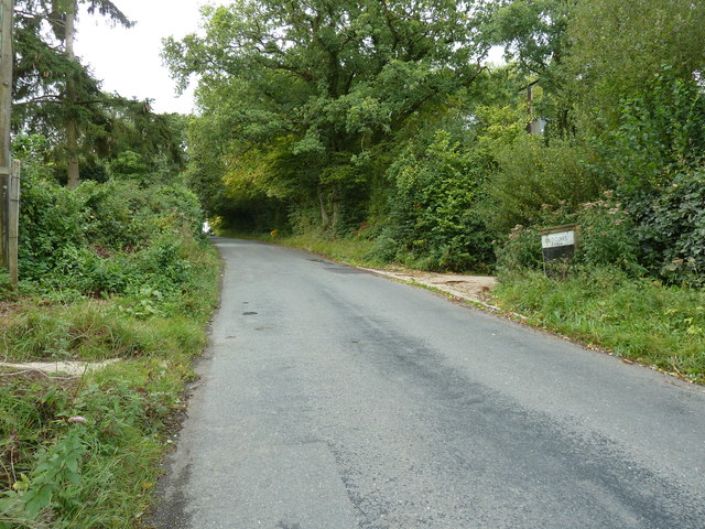
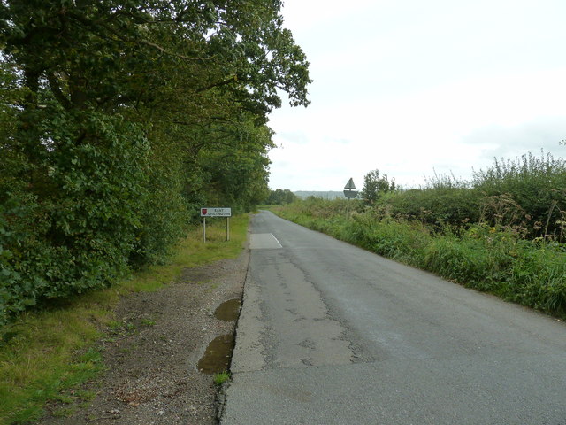
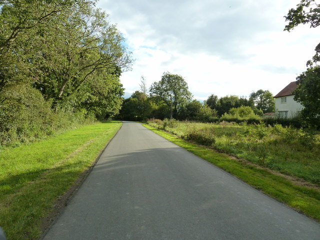
Upper Streat Green is a picturesque village located in the county of Sussex, England. Situated amidst the stunning landscape of the South Downs and surrounded by vast stretches of moorland, this area offers a tranquil and idyllic setting that attracts nature enthusiasts and outdoor adventurers alike.
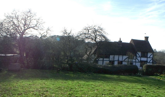
The village itself is small, with a population of around 200 residents. It is characterized by charming cottages made of local stone and thatched roofs, exuding a traditional English countryside ambiance. The community is tight-knit, with a strong sense of pride in their village and its surrounding natural beauty.
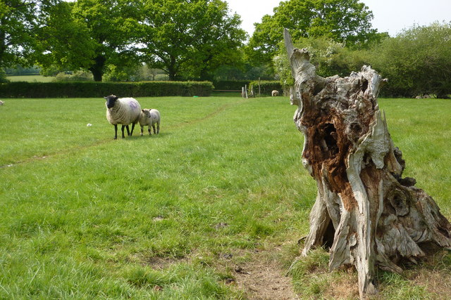
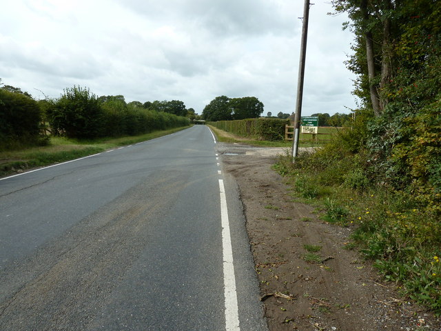
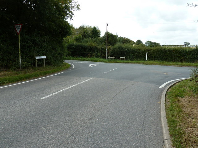
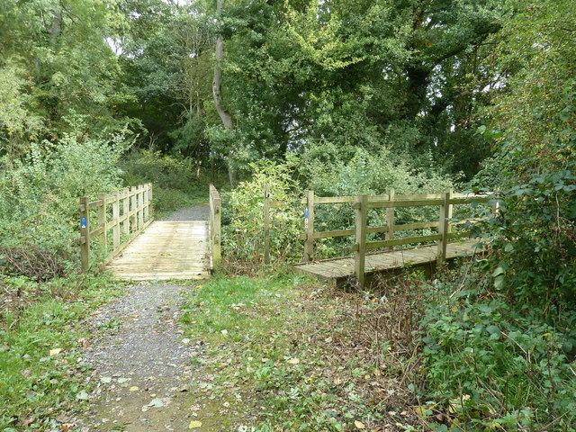
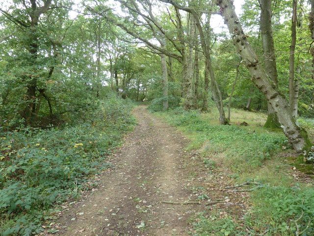
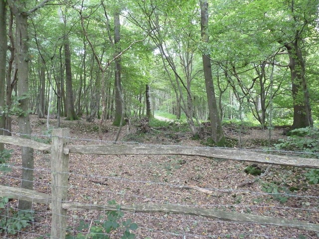
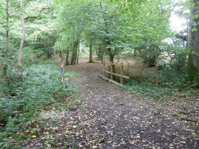
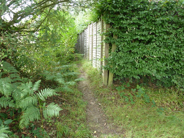
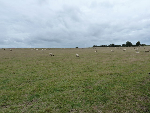
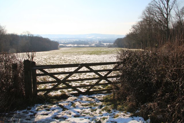
The South Downs, a designated National Park, provides a breathtaking backdrop to Upper Streat Green. Rolling hills and expansive meadows dotted with wildflowers create a haven for hikers, cyclists, and horse riders. The area is crisscrossed with a network of footpaths and bridleways, allowing visitors to explore the region's diverse flora and fauna.
The moorland surrounding the village is equally captivating. Its heather-covered hillsides and open grasslands are home to a variety of rare bird species, including the iconic red grouse. Birdwatchers flock to the area for the chance to spot these elusive creatures in their natural habitat.
Despite its rural setting, Upper Streat Green is within easy reach of amenities. The nearby town of Sussex Downs provides a range of services, including shops, restaurants, and a primary school. It also hosts a popular weekly farmers' market, where locals and visitors can purchase fresh, locally sourced produce.
In conclusion, Upper Streat Green in Sussex is a charming village nestled amidst the stunning South Downs and moorland. With its natural beauty and close-knit community, it offers a peaceful retreat for those seeking a taste of rural English countryside life.
If you have any feedback on the listing, please let us know in the comments section below.
Upper Streat Green Images
Images are sourced within 2km of 50.938711/-0.070167756 or Grid Reference TQ3517. Thanks to Geograph Open Source API. All images are credited.
Upper Streat Green is located at Grid Ref: TQ3517 (Lat: 50.938711, Lng: -0.070167756)
Administrative County: East Sussex
District: Lewes
Police Authority: Sussex
What 3 Words
///lawfully.long.score. Near Plumpton Green, East Sussex
Nearby Locations
Related Wikis
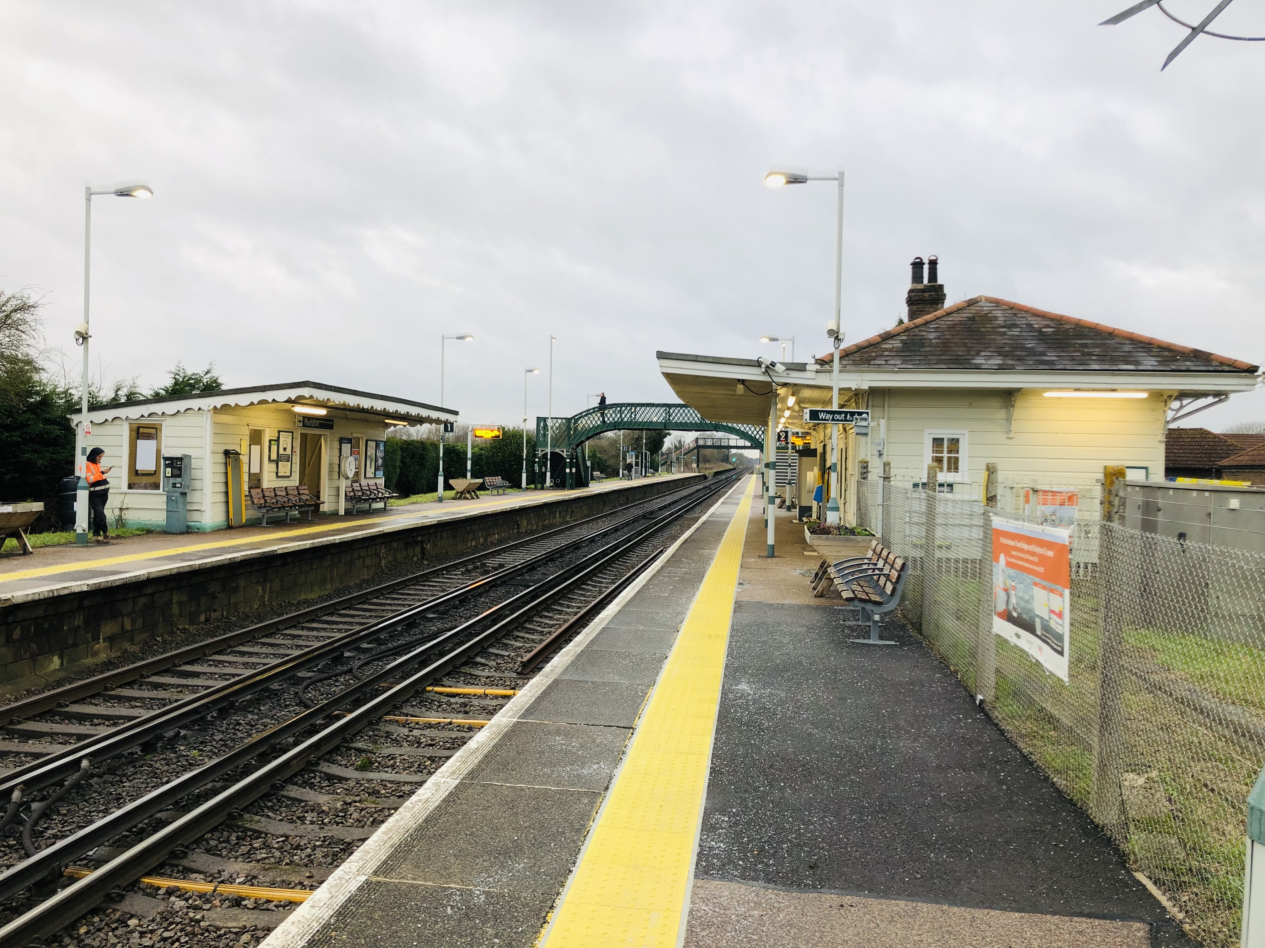
Plumpton railway station
Plumpton railway station serves the village of Plumpton in East Sussex, England. It is 44 miles 42 chains (71.7 km) from London Bridge via Redhill. Train...

Plumpton Racecourse
Plumpton Racecourse is a National Hunt racecourse in the village of Plumpton, East Sussex near Lewes and Brighton. Racing first took place at Plumpton...

RAF Chailey
RAF Chailey was a Royal Air Force Advanced Landing Ground close to the village of Chailey near Burgess Hill in East Sussex during the Second World War...

Streat
Streat is a village and parish in the Lewes district of East Sussex, England, 3 miles (4.8 km) south-east of Burgess Hill and 5 miles (8.0 km) west of...
Nearby Amenities
Located within 500m of 50.938711,-0.070167756Have you been to Upper Streat Green?
Leave your review of Upper Streat Green below (or comments, questions and feedback).