Bury Fen
Downs, Moorland in Huntingdonshire Huntingdonshire
England
Bury Fen
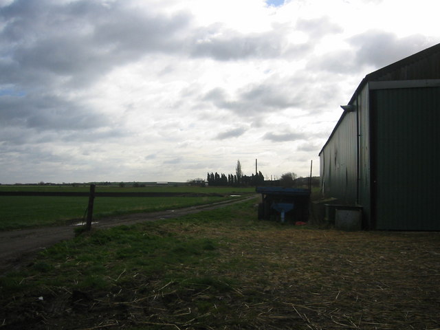
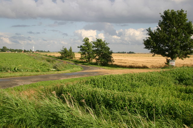
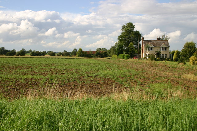
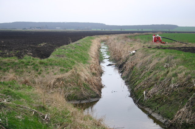
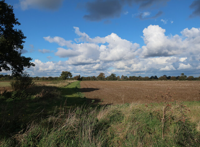
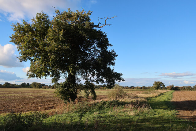
Bury Fen is a unique and picturesque area located in Huntingdonshire, a historic county in England. This fen is situated in the eastern part of the county, characterized by its downs and moorland landscapes. The fen itself is a low-lying area, typically marshy and covered in reeds and other wetland vegetation.
Covering an expansive area, Bury Fen is known for its diverse flora and fauna. The wetland plants that thrive in this fen include reed beds and water lilies, creating a vibrant and colorful display during the summer months. Additionally, the fen is home to a variety of bird species, including herons, ducks, and geese, attracting birdwatchers from far and wide.
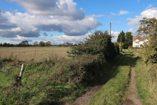
The terrain of Bury Fen is undulating, with gentle slopes and small hills scattered throughout the area. This creates a scenic landscape, especially during the winter months when the fen is occasionally covered in a light dusting of snow. The downs and moorland surrounding the fen provide a contrasting backdrop, characterized by rolling hills covered in heather and grasses.
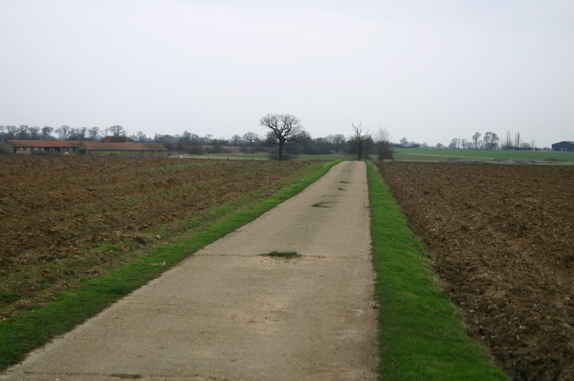
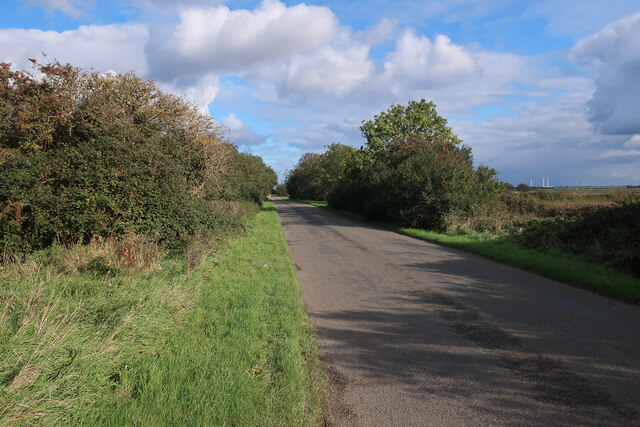
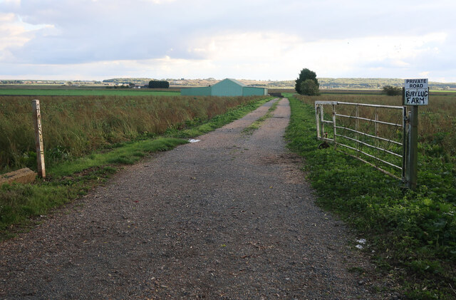
Bury Fen is a popular destination for nature enthusiasts and walkers, offering numerous footpaths and trails that meander through the fen and its surrounding areas. These paths provide an opportunity to explore the diverse habitats and observe the wildlife that calls this fen home.
Overall, Bury Fen is a tranquil and picturesque location in Huntingdonshire, offering visitors a chance to immerse themselves in the beauty of nature and experience the unique fenland ecosystem.
If you have any feedback on the listing, please let us know in the comments section below.
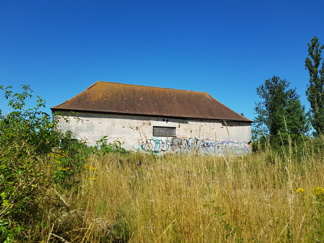
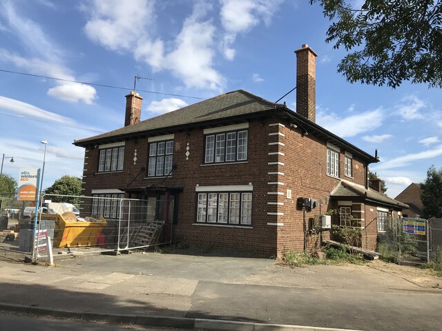
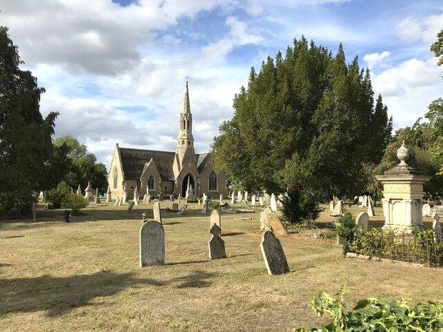
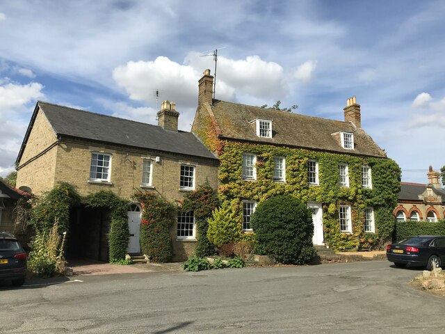
Bury Fen Images
Images are sourced within 2km of 52.440904/-0.093650723 or Grid Reference TL2984. Thanks to Geograph Open Source API. All images are credited.
Bury Fen is located at Grid Ref: TL2984 (Lat: 52.440904, Lng: -0.093650723)
Administrative County: Cambridgeshire
District: Huntingdonshire
Police Authority: Cambridgeshire
What 3 Words
///pokes.develops.undercuts. Near Ramsey, Cambridgeshire
Nearby Locations
Related Wikis

Abbey College, Ramsey
Abbey College is a secondary school located in Ramsey, Cambridgeshire, England. The school is around 10 miles from Huntingdon and Peterborough and offers...

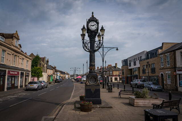
Ramsey Abbey
Ramsey Abbey was a Benedictine abbey in Ramsey, Huntingdonshire (now part of Cambridgeshire), England. It was founded about AD 969 and dissolved in 1539...
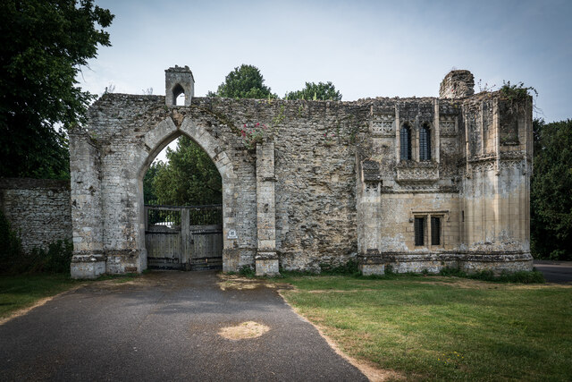
Ramsey Abbey Gatehouse
Ramsey Abbey Gatehouse was the gatehouse to the Benedictine Ramsey Abbey in Ramsey, Huntingdonshire (now part of Cambridgeshire), England. The gatehouse...

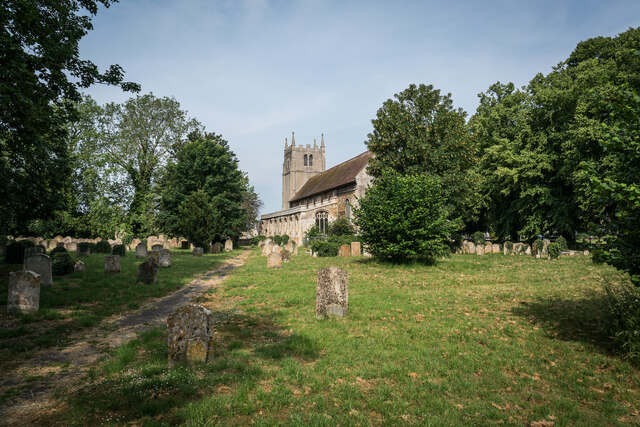
Church of St Thomas à Becket, Ramsey
The Church of St Thomas à Becket, Ramsey is the Church of England parish church of Ramsey, Cambridgeshire (formerly Huntingdonshire). The parish is part...

Bury, Cambridgeshire
Bury is a village and civil parish in Cambridgeshire, England. Bury lies approximately 7 miles (11 km) north/north east of Huntingdon and is near to Ramsey...
Ramsey East railway station
Ramsey East railway station was a railway station in Ramsey, Cambridgeshire, which is now closed. It opened on 16 September 1889, and closed to passenger...
Ramsey Town F.C.
Ramsey Town Football Club is a football club based in Ramsey, Cambridgeshire, England. They are currently members of the Peterborough & District League...
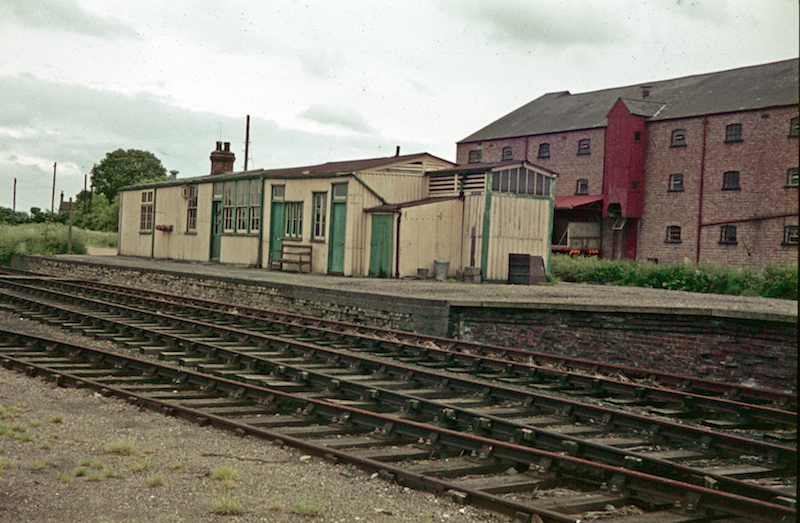
Ramsey North railway station
Ramsey North railway station was a railway station in Ramsey, Cambridgeshire which is now closed. It was the terminus of a branch line from Holme on the...
Nearby Amenities
Located within 500m of 52.440904,-0.093650723Have you been to Bury Fen?
Leave your review of Bury Fen below (or comments, questions and feedback).