Moulton West Fen
Downs, Moorland in Lincolnshire South Holland
England
Moulton West Fen

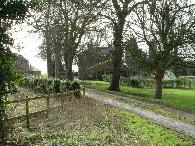
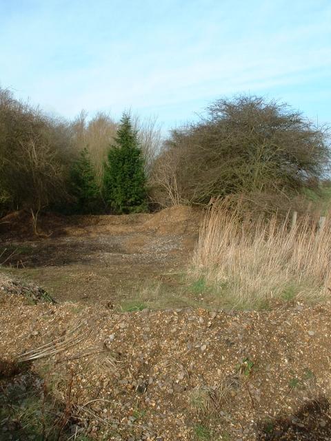
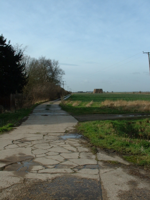
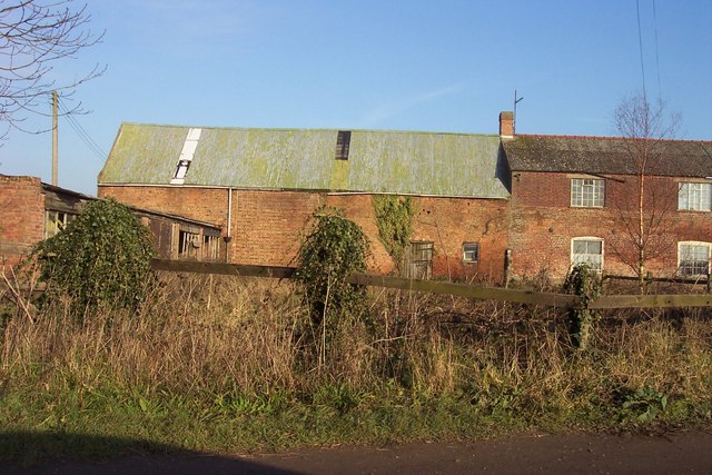
Moulton West Fen is a picturesque area located in Lincolnshire, England. Situated in the eastern part of the county, it is characterized by its diverse landscapes, comprising downs, moorland, and fen habitats. The fen, in particular, is a significant feature of Moulton West Fen, with extensive wetland areas that support a wide range of plant and animal species.
Covering an area of approximately 400 hectares, Moulton West Fen is home to a variety of wildlife, including rare and protected species. The wetland environment provides a breeding ground for numerous bird species, such as bitterns, marsh harriers, and avocets. These birds are attracted to the fen's rich vegetation and open water pools, which offer ample food sources and nesting opportunities.
The fen is also known for its diverse plant life, with a mix of grasses, sedges, and reeds dominating the landscape. The presence of these plants creates a unique ecosystem that supports a variety of insects, amphibians, and mammals.
In addition to its fen habitat, Moulton West Fen features areas of downs and moorland. The downs, characterized by gently rolling hills and open grasslands, offer stunning views of the surrounding countryside. The moorland, on the other hand, is characterized by heather and peat bogs, providing another distinct habitat for wildlife.
Moulton West Fen is a popular destination for nature enthusiasts and birdwatchers due to its rich biodiversity and beautiful scenery. It offers a tranquil and serene atmosphere, providing visitors with a unique opportunity to connect with nature and explore the diverse landscapes of Lincolnshire.
If you have any feedback on the listing, please let us know in the comments section below.
Moulton West Fen Images
Images are sourced within 2km of 52.718333/-0.094175756 or Grid Reference TF2815. Thanks to Geograph Open Source API. All images are credited.


Moulton West Fen is located at Grid Ref: TF2815 (Lat: 52.718333, Lng: -0.094175756)
Administrative County: Lincolnshire
District: South Holland
Police Authority: Lincolnshire
What 3 Words
///relished.wiped.crouches. Near Moulton Chapel, Lincolnshire
Nearby Locations
Related Wikis

Peak Hill, Lincolnshire
Peak Hill is a hamlet in the South Holland district of Lincolnshire, England. It is situated 4 miles (6 km) south from Spalding and 10 miles (16 km) north...
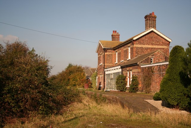
Postland railway station
Postland railway station was a station on the Great Northern and Great Eastern Joint Railway in Crowland, Lincolnshire, which is now closed. It took its...

Moulton Chapel
Moulton Chapel is a village in the South Holland district of Lincolnshire, England. It is on the B1357 road, 4 miles (6 km) south from Moulton, 5 miles...

Shepeau Stow, Lincolnshire
Shepeau Stow is a hamlet in the South Holland district of Lincolnshire, England. It is at the north-east edge of Whaplode civil parish, where it adjoins...
Fitton End
Fitton End is a hamlet in the civil parish of Newton-in-the-Isle, in the Fenland district, in the county of Cambridgeshire, England. It has a population...

South Holland and The Deepings (UK Parliament constituency)
South Holland and The Deepings is a constituency in Lincolnshire represented in the House of Commons of the UK Parliament since its 1997 creation by John...

Whaplode Drove
Whaplode Drove is a village in the civil parish of Whaplode , in the South Holland district of Lincolnshire, England. It is approximately 10 miles (16...

Cowbit railway station
Cowbit railway station was a station in Cowbit, Lincolnshire, England. It was located on the route between Spalding and March. == History == The station...
Nearby Amenities
Located within 500m of 52.718333,-0.094175756Have you been to Moulton West Fen?
Leave your review of Moulton West Fen below (or comments, questions and feedback).