Brantridge Park

Downs, Moorland in Sussex Mid Sussex

England

Brantridge Park

Tanyard Lane, Staplefield For the public, only a footpath - 6CR.
Tanyard Lane, Staplefield Credit: Robin Webster

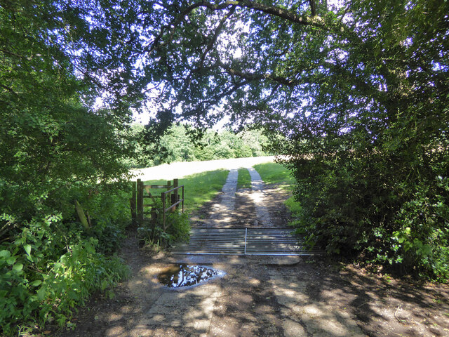
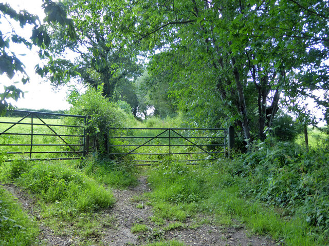
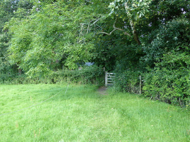
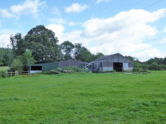
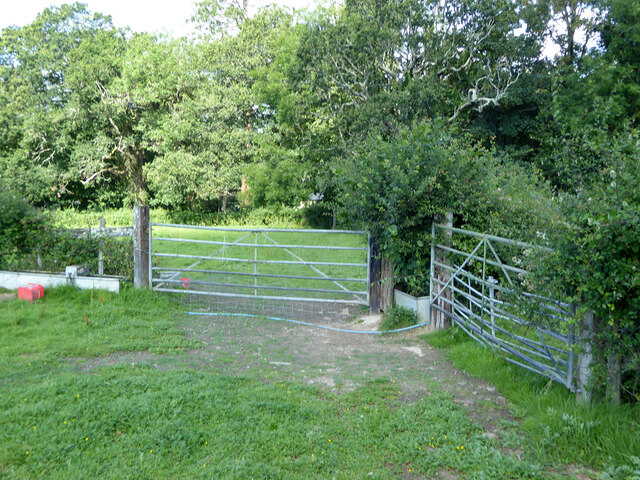
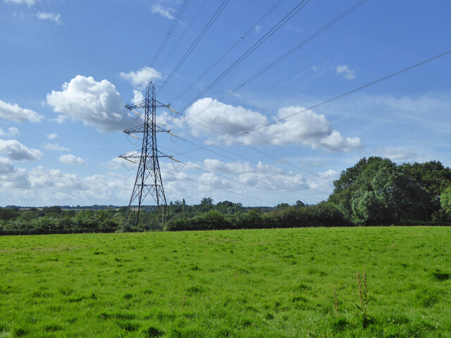
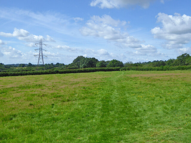
Brantridge Park is a sprawling estate nestled in the heart of Sussex, England. Spanning over 250 acres, it is located in the picturesque landscape of the Sussex Downs and Moorland, offering breathtaking views of the surrounding countryside. The park is known for its diverse ecology, with a mix of woodlands, heathlands, and grasslands.

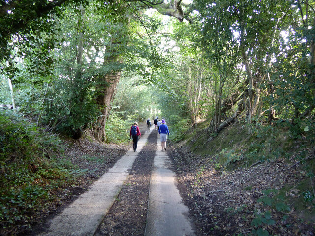
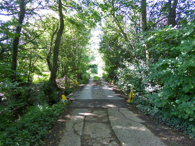
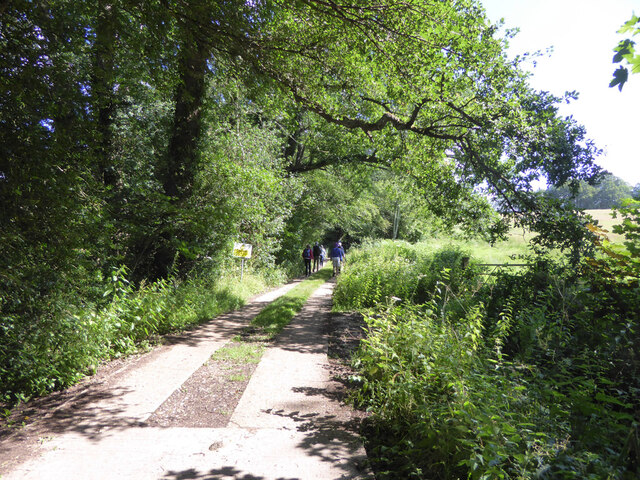
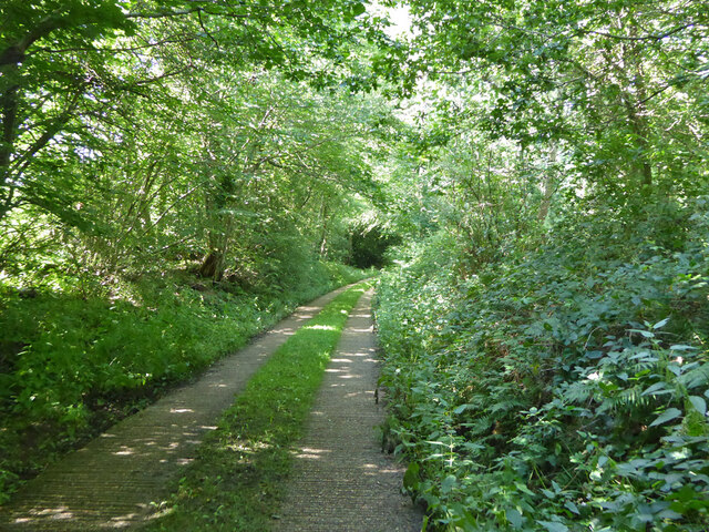
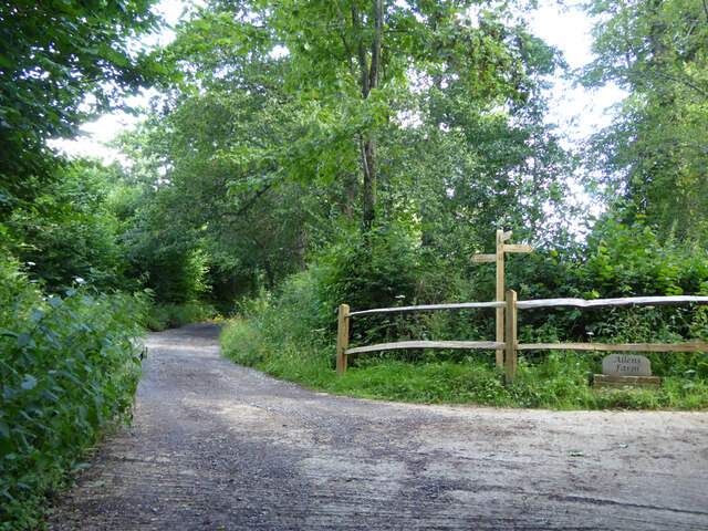
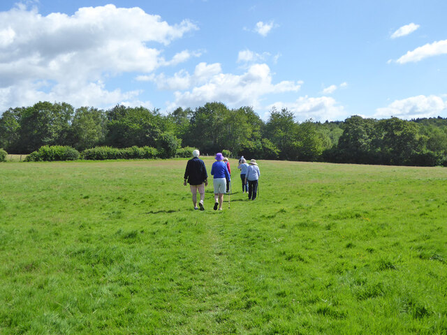
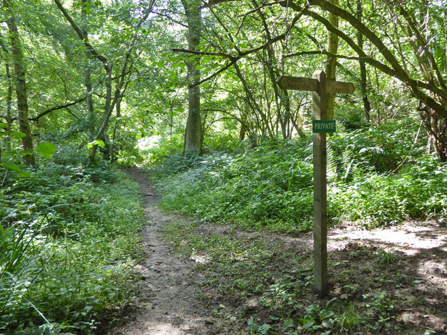
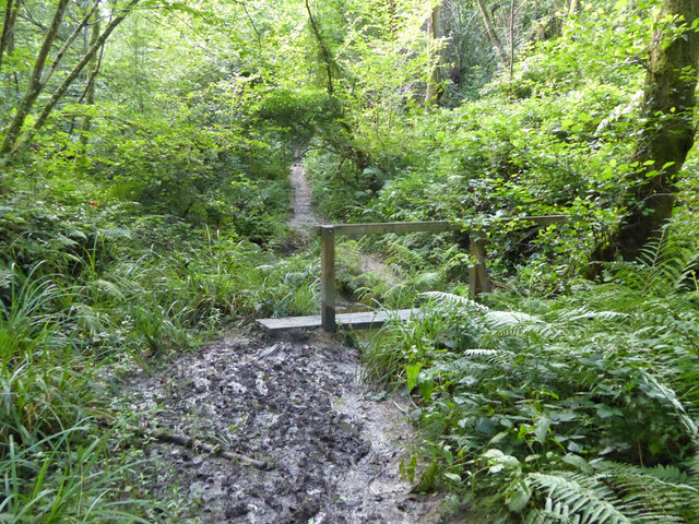
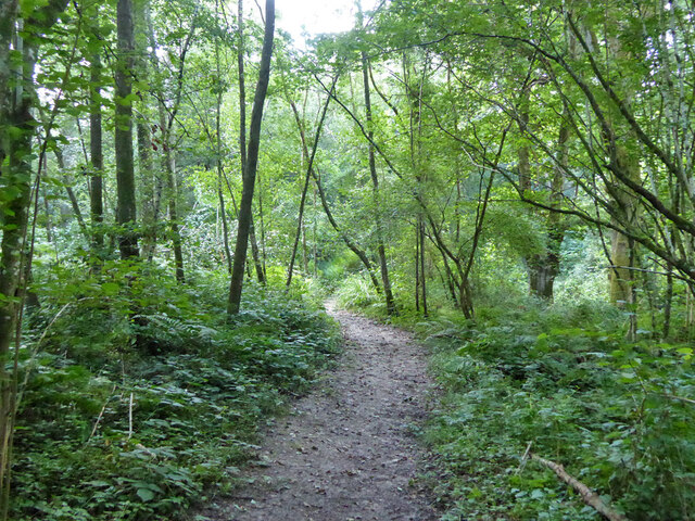
The estate features a stunning manor house, which dates back to the 19th century and is a fine example of Victorian architecture. The house is surrounded by manicured gardens and extensive grounds, providing a tranquil and idyllic setting. Visitors can take leisurely strolls along the numerous walking trails that wind through the estate, immersing themselves in the natural beauty of the area.

Brantridge Park is also home to a wide variety of wildlife, including deer, rabbits, and a rich array of bird species. It is a haven for nature lovers and birdwatchers, who can spot birds such as kestrels, buzzards, and skylarks in their natural habitat.

The park offers various recreational activities, catering to both outdoor enthusiasts and families. There are designated picnic areas, perfect for enjoying a leisurely lunch amidst the stunning scenery. Additionally, the estate features a children's playground and a sports field, providing ample opportunities for outdoor play and activities.

Overall, Brantridge Park is a hidden gem in Sussex, offering a peaceful retreat from the hustle and bustle of everyday life. Its natural beauty, rich history, and array of recreational opportunities make it a must-visit destination for locals and tourists alike.

If you have any feedback on the listing, please let us know in the comments section below.

Brantridge Park Images

Images are sourced within 2km of 51.057685/-0.16347473 or Grid Reference TQ2830. Thanks to Geograph Open Source API. All images are credited.

Tanyard Lane, Staplefield For the public, only a footpath - 6CR.
Tanyard Lane, Staplefield
For the public, only a footpath - 6CR.
Track and footpath branching off Tanyard Lane The track goes to Oldhouse, footpath 3CR to Handcross.
Track and footpath branching off Tanyard Lane
The track goes to Oldhouse, footpath 3CR to Handcross.
Tanyard Lane bridge over Foxhole Gill A bridge with no parapets, and a fair drop to the stream below.
Tanyard Lane bridge over Foxhole Gill
A bridge with no parapets, and a fair drop to the stream below.
Tanyard Lane towards Allens Farm The yellow sign warns of deep ditches to either side, which is true, in some places sheer off the concrete strips. This private farm access is also public footpath 4CR.
Tanyard Lane towards Allens Farm
The yellow sign warns of deep ditches to either side, which is true, in some places sheer off the concrete strips. This private farm access is also public footpath 4CR.
Tanyard Lane Private access to Allens and Dillion's Farms, it is also public footpath 4CR.
Tanyard Lane
Private access to Allens and Dillion's Farms, it is also public footpath 4CR.
Path and track junction near Allens Farm Straight on is private access to Dillion's Farm. Left is footpath 2CR to Handcross. Right is access to Allens Farm, shared part of the way with footpath 5CR which may be used as part of a route to Balcombe.
Path and track junction near Allens Farm
Straight on is private access to Dillion's Farm. Left is footpath 2CR to Handcross. Right is access to Allens Farm, shared part of the way with footpath 5CR which may be used as part of a route to Balcombe.
Short green lane near Allens Farm With no public status, and not much used anyway, this was the start of a route, mainly field edges, to Staplefield Upper Common. This has apparently withered away.
Short green lane near Allens Farm
With no public status, and not much used anyway, this was the start of a route, mainly field edges, to Staplefield Upper Common. This has apparently withered away.
Footpath 5CR near Allens Farm Through the gate the path drops down four or five steps to the farm approach track.
Footpath 5CR near Allens Farm
Through the gate the path drops down four or five steps to the farm approach track.
Barns at Allens Farm
Gate on footpath 5CR near Allens Farm
Power line near Allens Farm
Walkers on footpath 5CR Towards Ditton Place, Brantridge Lane and it is part of a route to Balcombe. The official route goes round the field edges on the left, but nobody seems to go that way with the field in permanent grass.
Walkers on footpath 5CR
Towards Ditton Place, Brantridge Lane and it is part of a route to Balcombe. The official route goes round the field edges on the left, but nobody seems to go that way with the field in permanent grass.
Footpath 5CR towards Staplefield or Handcross The official route goes round the field edges on the right, but nobody seems to go that way with the field in permanent grass.
Footpath 5CR towards Staplefield or Handcross
The official route goes round the field edges on the right, but nobody seems to go that way with the field in permanent grass.
Public and private paths In gill woodland, public footpath 5CR crosses the gill, the private path runs along the western shoulder. The quite significant gill has no mapped name.
Public and private paths
In gill woodland, public footpath 5CR crosses the gill, the private path runs along the western shoulder. The quite significant gill has no mapped name.
Gill footbridge, path 5CR By rights the mud should have dried up by late July, but there had been some very wet days.
Gill footbridge, path 5CR
By rights the mud should have dried up by late July, but there had been some very wet days.
Footpath 5CR in unnamed gill Running down to cross the stream to the right.
Footpath 5CR in unnamed gill
Running down to cross the stream to the right.
Footpath 5CR descends into unnamed gill Towards Staplefield or Handcross.
Footpath 5CR descends into unnamed gill
Towards Staplefield or Handcross.
Footpath 5CR descends into unnamed gill Towards Staplefield or Handcross.
Footpath 5CR descends into unnamed gill
Towards Staplefield or Handcross.
Show me another place!

Brantridge Park is located at Grid Ref: TQ2830 (Lat: 51.057685, Lng: -0.16347473)

Administrative County: West Sussex

District: Mid Sussex

Police Authority: Sussex

What 3 Words

///tungsten.magnitude.joins. Near Balcombe, West Sussex

Related Wikis

Brantridge Park

Brantridge Park, Balcombe, West Sussex, England is a 19th-century country house, formerly one of the lesser royal residences. It is a Grade II listed building...
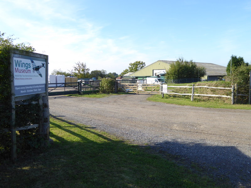
Wings Museum

The Wings Museum is an aviation museum located in Sussex, United Kingdom. It is housed in a 12,000 square feet (1,100 m2) hangar-like former farm building...
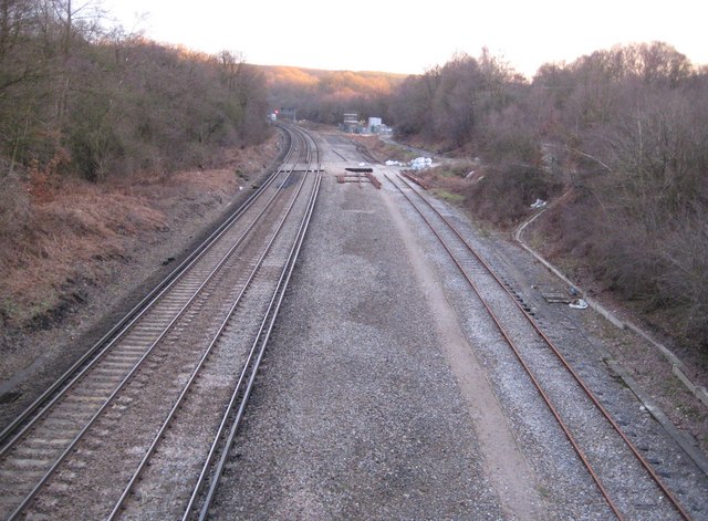
Balcombe tunnel

Balcombe tunnel is a railway tunnel on the Brighton Main Line through the Sussex Weald between Three Bridges and Balcombe. It is 1,034 metres (1,131 yards...

Balcombe railway station

Balcombe railway station is on the Brighton Main Line in England, serving the village of Balcombe, West Sussex. It is 33 miles 64 chains (54.4 km) down...

Cow Wood and Harry's Wood

Cow Wood and Harry's Wood is a 75.5-hectare (187-acre) biological Site of Special Scientific Interest east of Handcross in West Sussex. it is in the High...
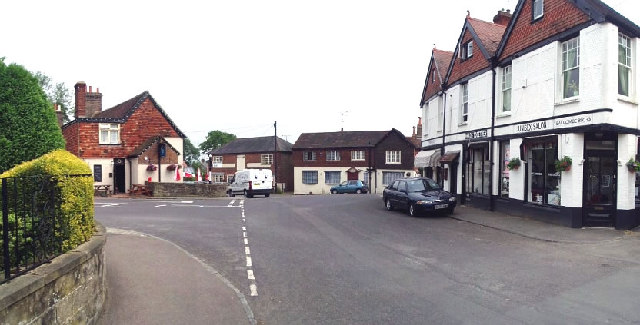
Balcombe

Balcombe is a village and civil parish in the Mid Sussex District of West Sussex, England. It lies 31 miles (50 km) south of London, 16 miles (26 km) north...

Tyes Place

Tyes Place is a listed historic manor house in Staplefield, West Sussex, England. It was once a farm, then in the first half of the 20th century it was...

Handcross Park School

Handcross Park School is an independent co-educational preparatory school in Handcross, between Crawley, Horsham and Haywards Heath in West Sussex, England...

Nearby Amenities

Located within 500m of 51.057685,-0.16347473
Brantridge Park
Name 1: park
Place: locality
Lat/Long: 51.0572825/-0.1636295
Brantridge Park Farm
Place: farm
Lat/Long: 51.0608109/-0.1684845
The data included in this document is from www.openstreetmap.org. The data is made available under ODbL.

Have you been to Brantridge Park?

Leave your review of Brantridge Park below (or comments, questions and feedback).