Earl's Fen

Downs, Moorland in Cambridgeshire

England

Earl's Fen

A fenland field A field off English Drive.
A fenland field Credit: Bob Harvey

Earl's Fen is a picturesque area located in the county of Cambridgeshire, England. It is characterized by its diverse landscape, featuring downs and moorland. The fen is situated in close proximity to the village of Earl's Barton, which lends its name to this natural wonder.

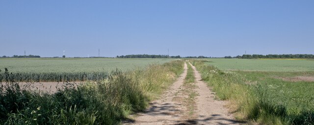
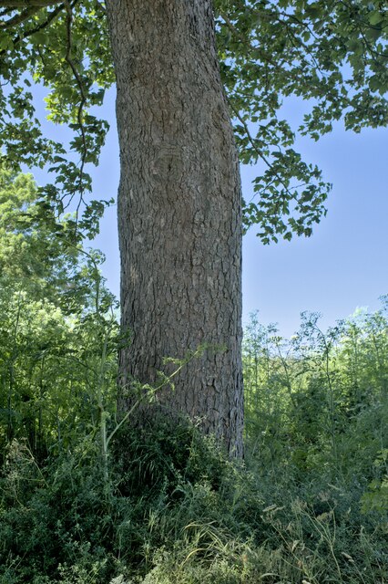
The downs in Earl's Fen offer breathtaking views of the surrounding countryside. These rolling hills are covered in a variety of grasses and wildflowers, creating a vibrant and colorful panorama. They provide a perfect spot for nature enthusiasts and hikers to explore and enjoy the beauty of the area.

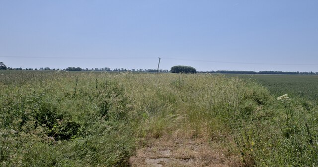
In contrast, the moorland in Earl's Fen presents a distinct landscape with its expansive stretches of wetland and heath. It is home to a wide range of plant and animal species, including rare and protected ones. The moorland is a crucial habitat for many bird species, such as curlews and lapwings, making it a popular destination for birdwatchers.

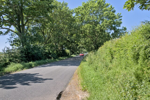
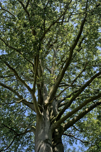
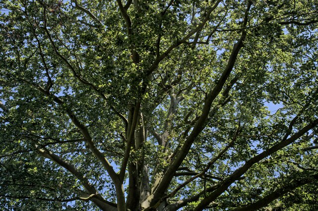
Earl's Fen also boasts several walking trails that wind through its diverse terrain, allowing visitors to immerse themselves in its natural splendor. These paths provide an opportunity to witness the fen's unique flora and fauna up close, including orchids, dragonflies, and other wildlife.

Overall, Earl's Fen is a haven of natural beauty and biodiversity. Its downs and moorland offer a captivating landscape for outdoor enthusiasts and nature lovers, making it a must-visit destination in Cambridgeshire.

If you have any feedback on the listing, please let us know in the comments section below.
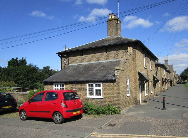
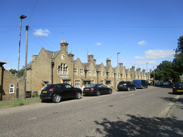
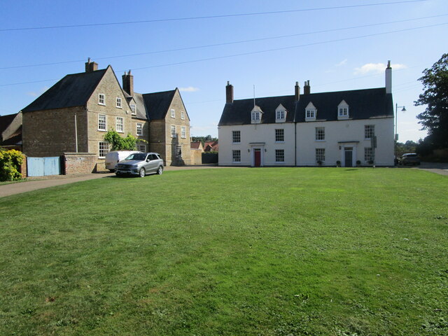
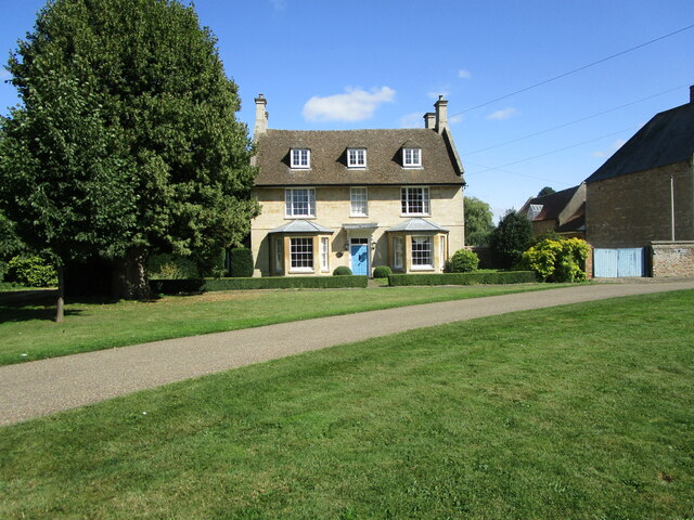
Earl's Fen Images

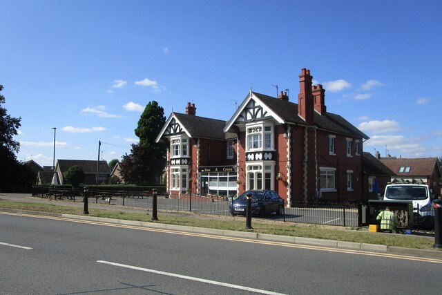
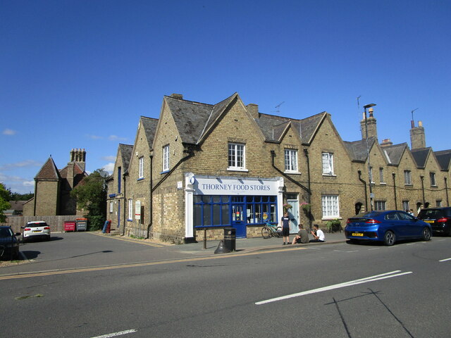
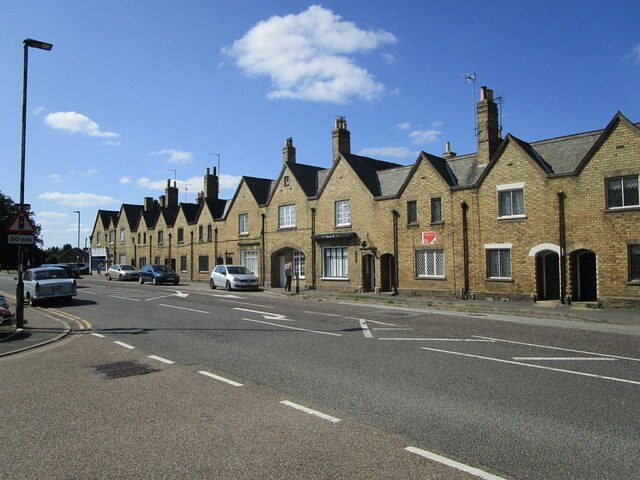
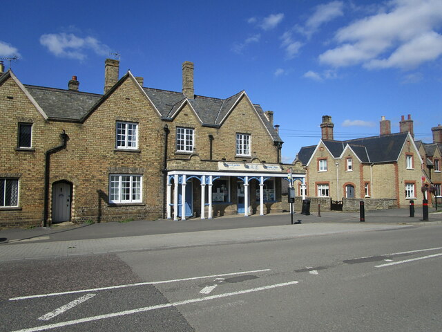
Images are sourced within 2km of 52.630217/-0.098391342 or Grid Reference TF2805. Thanks to Geograph Open Source API. All images are credited.

A fenland field A field off English Drive.
A fenland field
A field off English Drive.
Farmland in the Fens A typical field in the Cambridgeshire Fens.
Farmland in the Fens
A typical field in the Cambridgeshire Fens.
Along the lane Looking toward Thorney along English Drove.
Along the lane
Looking toward Thorney along English Drove.
Tunnel of trees English Drove in the sunshine.
Tunnel of trees
English Drove in the sunshine.
A magnificent Sycamore Acer pseudoplatanus in a hedgerow.
A magnificent Sycamore
Acer pseudoplatanus in a hedgerow.
Acer pseudoplatanus The trunk of the tree seen in <a href="https://www.geograph.org.uk/photo/7514686">TF3006 : A magnificent Sycamore</a>.
Acer pseudoplatanus
The trunk of the tree seen in TF3006 : A magnificent Sycamore.
Always Look Up The canopy of the tree <a href="https://www.geograph.org.uk/photo/7514686">TF3006 : A magnificent Sycamore</a> - a Sycamore, or Acer pseudoplatanus.
Always Look Up
The canopy of the tree TF3006 : A magnificent Sycamore - a Sycamore, or Acer pseudoplatanus.
The canopy above The canopy of the tree <a href="https://www.geograph.org.uk/photo/7514686">TF3006 : A magnificent Sycamore</a> - a Sycamore, or Acer pseudoplatanus.
The canopy above
The canopy of the tree TF3006 : A magnificent Sycamore - a Sycamore, or Acer pseudoplatanus.
Old stamp machine, Thorney Four First Class stamps for a Pound. Wow!
Old stamp machine, Thorney
Four First Class stamps for a Pound. Wow!
The Rose and Crown, Thorney
Thorney Food Stores Part of a block dated 1856 <span class="nowrap"><a title="https://historicengland.org.uk/listing/the-list/list-entry/1127491" rel="nofollow ugc noopener" href="https://historicengland.org.uk/listing/the-list/list-entry/1127491">Link</a><img style="margin-left:2px;" alt="External link" title="External link - shift click to open in new window" src="https://s1.geograph.org.uk/img/external.png" width="10" height="10"/></span>
Thorney Food Stores
Part of a block dated 1856 LinkExternal link
Houses, Wisbech Road, Thorney The block is dated 1856 <span class="nowrap"><a title="https://historicengland.org.uk/listing/the-list/list-entry/1127491" rel="nofollow ugc noopener" href="https://historicengland.org.uk/listing/the-list/list-entry/1127491">Link</a><img style="margin-left:2px;" alt="External link" title="External link - shift click to open in new window" src="https://s1.geograph.org.uk/img/external.png" width="10" height="10"/></span>
Houses, Wisbech Road, Thorney
The block is dated 1856 LinkExternal link
Hong Lok Garden, Thorney Part of a block dated 1856 <span class="nowrap"><a title="https://historicengland.org.uk/listing/the-list/list-entry/1127491" rel="nofollow ugc noopener" href="https://historicengland.org.uk/listing/the-list/list-entry/1127491">Link</a><img style="margin-left:2px;" alt="External link" title="External link - shift click to open in new window" src="https://s1.geograph.org.uk/img/external.png" width="10" height="10"/></span>
Hong Lok Garden, Thorney
Part of a block dated 1856 LinkExternal link
Cottages, Wisbech Road, Thorney Date from about 1838 <span class="nowrap"><a title="https://historicengland.org.uk/listing/the-list/list-entry/1331232" rel="nofollow ugc noopener" href="https://historicengland.org.uk/listing/the-list/list-entry/1331232">Link</a><img style="margin-left:2px;" alt="External link" title="External link - shift click to open in new window" src="https://s1.geograph.org.uk/img/external.png" width="10" height="10"/></span>
Cottages, Wisbech Road, Thorney
Date from about 1838 LinkExternal link
Housing, Wisbech Road, Thorney Date from about 1849 <span class="nowrap"><a title="https://historicengland.org.uk/listing/the-list/list-entry/1225144" rel="nofollow ugc noopener" href="https://historicengland.org.uk/listing/the-list/list-entry/1225144">Link</a><img style="margin-left:2px;" alt="External link" title="External link - shift click to open in new window" src="https://s1.geograph.org.uk/img/external.png" width="10" height="10"/></span>
Housing, Wisbech Road, Thorney
Date from about 1849 LinkExternal link
The Green, Thorney On the left, No. 2 <span class="nowrap"><a title="https://historicengland.org.uk/listing/the-list/list-entry/1224675" rel="nofollow ugc noopener" href="https://historicengland.org.uk/listing/the-list/list-entry/1224675">Link</a><img style="margin-left:2px;" alt="External link" title="External link - shift click to open in new window" src="https://s1.geograph.org.uk/img/external.png" width="10" height="10"/></span> Directly ahead Nos. 3 and 4 <span class="nowrap"><a title="https://historicengland.org.uk/listing/the-list/list-entry/1331268" rel="nofollow ugc noopener" href="https://historicengland.org.uk/listing/the-list/list-entry/1331268">Link</a><img style="margin-left:2px;" alt="External link" title="External link - shift click to open in new window" src="https://s1.geograph.org.uk/img/external.png" width="10" height="10"/></span>
This area was once Thorney's Market Place.
The Green, Thorney
On the left, No. 2 LinkExternal link Directly ahead Nos. 3 and 4 LinkExternal link This area was once Thorney's Market Place.
Cheriton House, Thorney Former Vicarage dating from 1728 <span class="nowrap"><a title="https://historicengland.org.uk/listing/the-list/list-entry/1127487" rel="nofollow ugc noopener" href="https://historicengland.org.uk/listing/the-list/list-entry/1127487">Link</a><img style="margin-left:2px;" alt="External link" title="External link - shift click to open in new window" src="https://s1.geograph.org.uk/img/external.png" width="10" height="10"/></span>
Cheriton House, Thorney
Former Vicarage dating from 1728 LinkExternal link
Church of St. Mary and St. Botolph, Thorney The remains of Thorney Abbey. The height of the corner turrets of the west facade is impressive. <span class="nowrap"><a title="https://historicengland.org.uk/listing/the-list/list-entry/1331263" rel="nofollow ugc noopener" href="https://historicengland.org.uk/listing/the-list/list-entry/1331263">Link</a><img style="margin-left:2px;" alt="External link" title="External link - shift click to open in new window" src="https://s1.geograph.org.uk/img/external.png" width="10" height="10"/></span>
Church of St. Mary and St. Botolph, Thorney
The remains of Thorney Abbey. The height of the corner turrets of the west facade is impressive. LinkExternal link
Show me another place!

Earl's Fen is located at Grid Ref: TF2805 (Lat: 52.630217, Lng: -0.098391342)

Division: Isle of Ely

Unitary Authority: Peterborough

Police Authority: Cambridgeshire

What 3 Words

///defaults.secret.century. Near Thorney, Cambridgeshire

Nearby Locations

Earl's Fen

Related Wikis

Thorney railway station

Thorney railway station was a station in Thorney, Cambridgeshire on the Midland and Great Northern Joint Railway line between Peterborough and Wisbech...

Thorney, Cambridgeshire

Thorney is a village in the Peterborough unitary authority in the ceremonial county of Cambridgeshire, England. Located around eight miles (13 km) east...
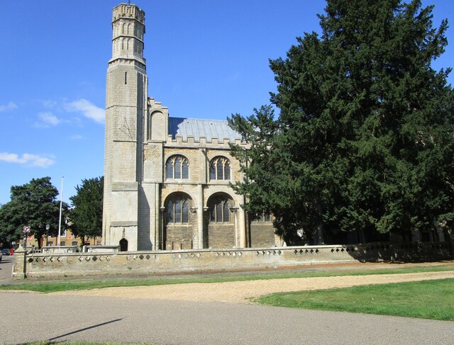
Thorney Abbey

Thorney Abbey, now the Church of St Mary and St Botolph, was a medieval monastic house established on the island of Thorney in The Fens of Cambridgeshire...

Wryde railway station

Wryde railway station was a station serving Wryde, Cambridgeshire on the Midland and Great Northern Joint Railway between Wisbech and Peterborough. Originally...

Nearby Amenities

Located within 500m of 52.630217,-0.098391342
Desford Farm
Place: farm
Source: Bing
Lat/Long: 52.6334957/-0.0973722
Earl's Fen
Place: locality
Source: Bing
Lat/Long: 52.629333/-0.0967478
Little House Farm
Place: farm
Source: Bing
Lat/Long: 52.6327298/-0.1024427
White Hart Farm Cottage
Place: isolated_dwelling
Source: Bing
Lat/Long: 52.6334084/-0.0993207
White Hart Farm
Place: farm
Source: Bing
Lat/Long: 52.6320983/-0.1016952
Power: pole
Lat/Long: 52.6344161/-0.0961719
Power: pole
Lat/Long: 52.6273607/-0.1037341
Power: pole
Lat/Long: 52.6277286/-0.103608
Power: pole
Lat/Long: 52.6285036/-0.103364
Power: pole
Lat/Long: 52.6293127/-0.1031118
Power: pole
Lat/Long: 52.629819/-0.1022213
Power: pole
Lat/Long: 52.6303465/-0.1013121
Power: pole
Lat/Long: 52.6308593/-0.1004538
Power: pole
Lat/Long: 52.6314502/-0.0993943
Power: pole
Lat/Long: 52.6320705/-0.098359
Power: pole
Lat/Long: 52.6325588/-0.0974872
Power: pole
Lat/Long: 52.6329968/-0.0967148
Power: pole
Lat/Long: 52.6334721/-0.0959074
Power: pole
Lat/Long: 52.633827/-0.0947648
Power: pole
Lat/Long: 52.6297069/-0.1047433
The data included in this document is from www.openstreetmap.org. The data is made available under ODbL.

Have you been to Earl's Fen?

Leave your review of Earl's Fen below (or comments, questions and feedback).