Westfield Common
Downs, Moorland in Hertfordshire North Hertfordshire
England
Westfield Common
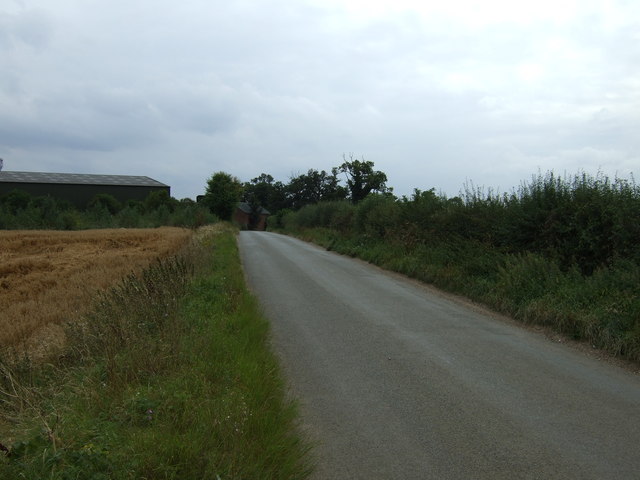
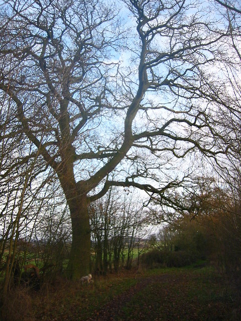
Westfield Common is a picturesque area located in Hertfordshire, England, known for its striking landscape and diverse natural habitats. Covering an expansive area, it is split into two distinct sections: Downs and Moorland.
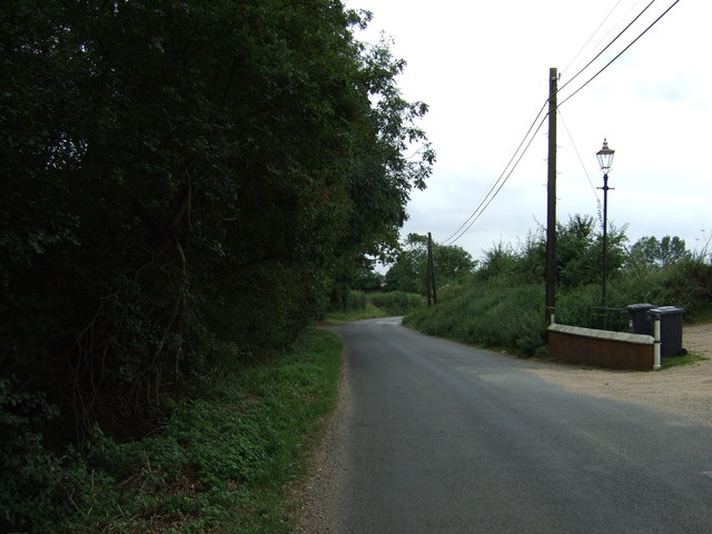
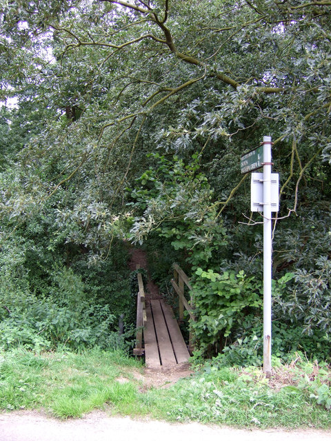
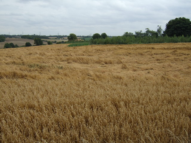
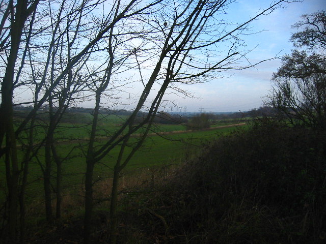
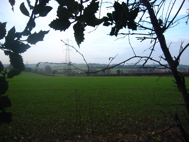
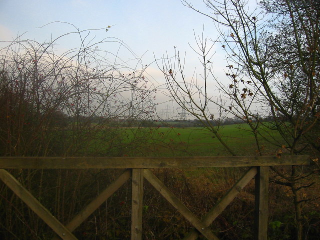
The Downs region of Westfield Common is characterized by rolling hills and wide-open spaces. It is home to a variety of grasses and wildflowers, creating a vibrant and colorful environment. The undulating terrain makes it a popular spot for outdoor activities such as hiking and picnicking. Visitors can enjoy breathtaking views from the hilltops, overlooking the surrounding countryside.
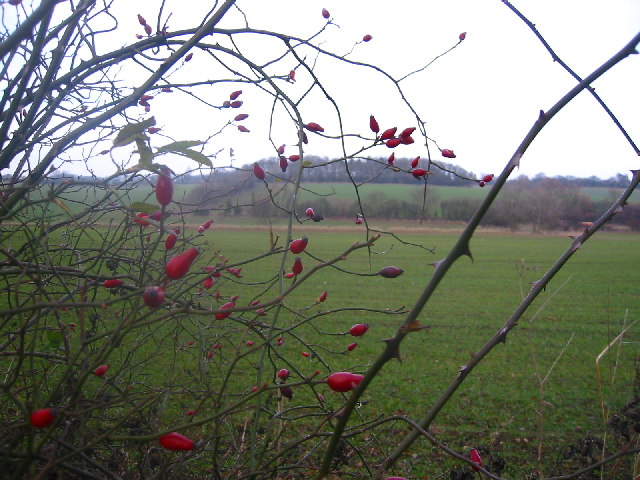
On the other hand, the Moorland area of Westfield Common showcases a different kind of beauty. It consists of large stretches of heather, gorse, and bracken, creating a unique and picturesque landscape. The moorland provides a habitat for various species of birds, such as skylarks and stonechats, making it a haven for birdwatching enthusiasts.
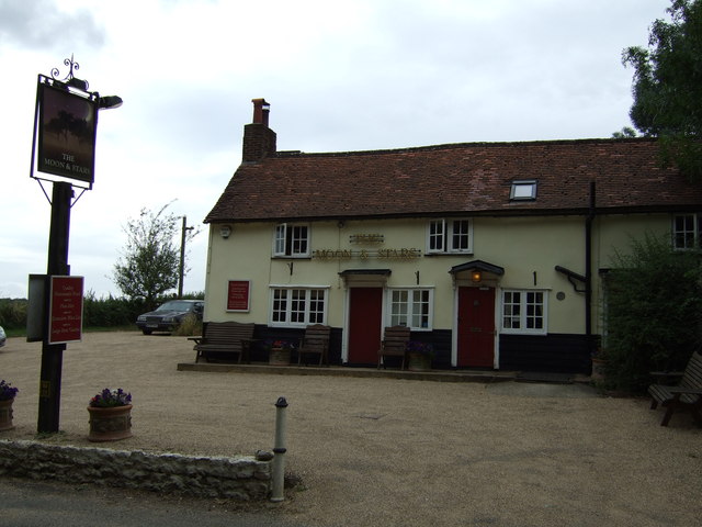
Both sections of Westfield Common offer a tranquil and peaceful setting, perfect for those seeking respite from the hustle and bustle of urban life. The area is also rich in history, with remnants of ancient settlements and burial mounds scattered throughout. Archaeological excavations have uncovered artifacts from the Bronze Age, adding to the cultural significance of the site.
Overall, Westfield Common in Hertfordshire is a natural gem, offering a diverse range of landscapes and a haven for wildlife. Whether visitors are seeking a peaceful stroll or an adventurous hike, this beautiful area provides something for everyone to enjoy.
If you have any feedback on the listing, please let us know in the comments section below.
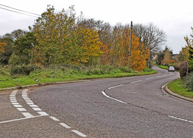
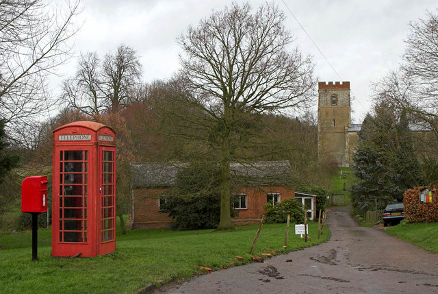
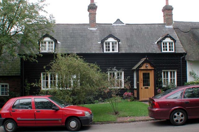
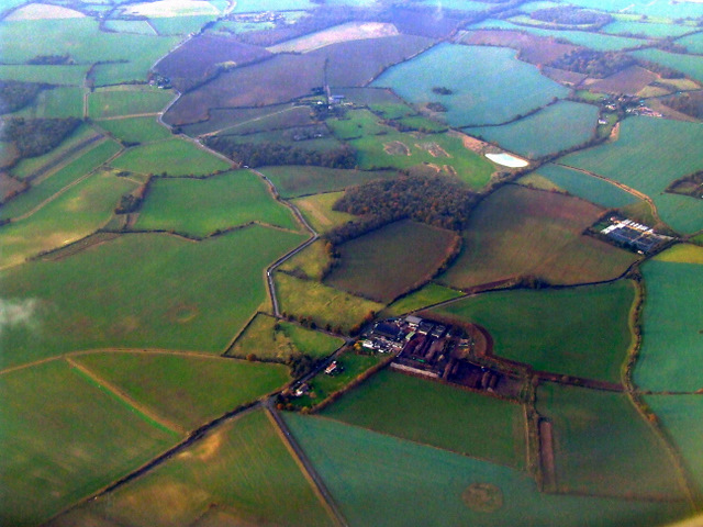
Westfield Common Images
Images are sourced within 2km of 51.961609/-0.12750282 or Grid Reference TL2830. Thanks to Geograph Open Source API. All images are credited.
Westfield Common is located at Grid Ref: TL2830 (Lat: 51.961609, Lng: -0.12750282)
Administrative County: Hertfordshire
District: North Hertfordshire
Police Authority: Hertfordshire
What 3 Words
///homelands.friday.hiring. Near Walkern, Hertfordshire
Nearby Locations
Related Wikis
Clothall
Clothall is a village and civil parish in the county of Hertfordshire, England, with a population of 358. It is situated 2.25 miles (3.62 km) south-east...
Rushden, Hertfordshire
Rushden is a small village and civil parish which forms part of the grouped parish council of Rushden and Wallington in the North Hertfordshire district...
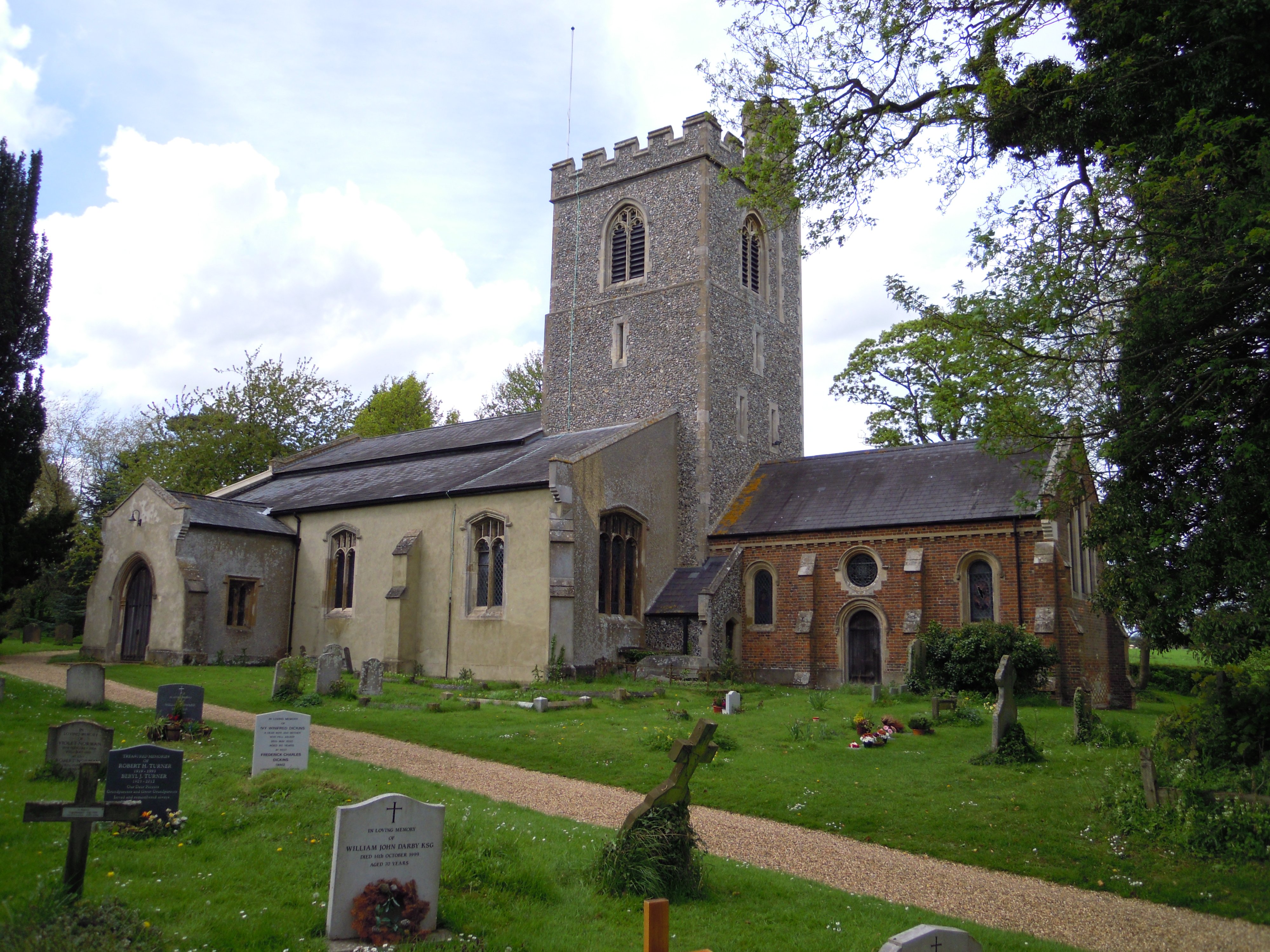
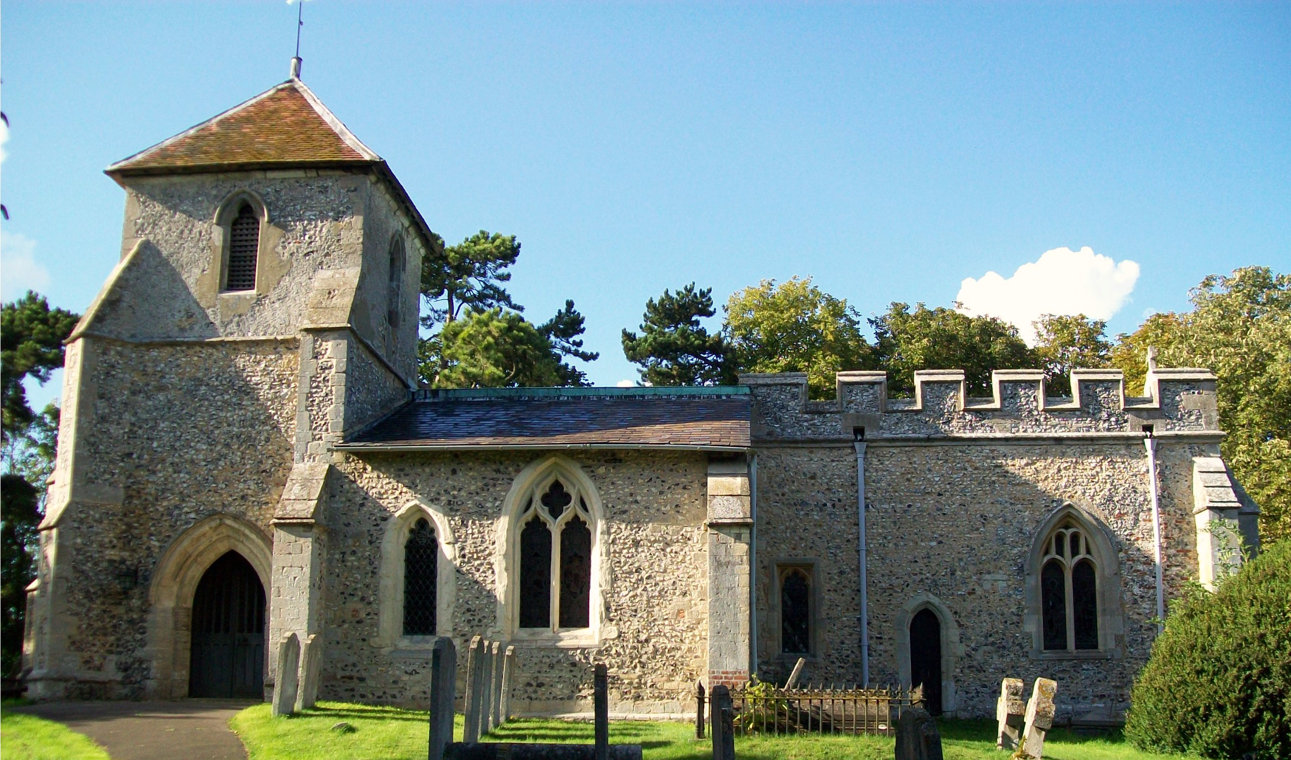
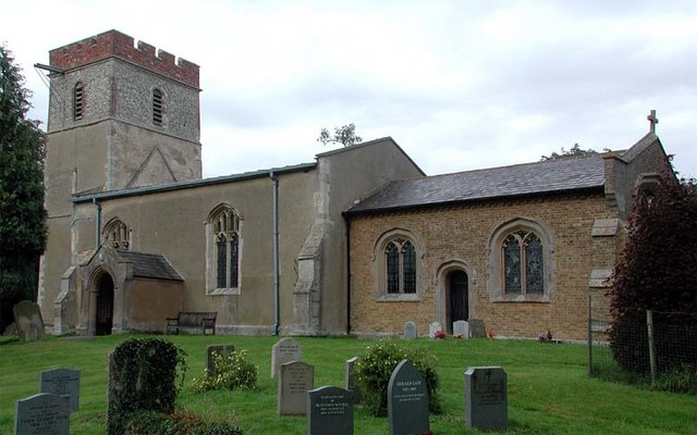
Holy Trinity Church, Weston
Holy Trinity Church is the parish church for the village of Weston in Hertfordshire. The church building stands to the south-east of the village on high...
Cromer, Hertfordshire
Cromer is a hamlet in the civil parish of Ardeley, Hertfordshire, England. It is a small hamlet; however, it is noteworthy for possessing Hertfordshire...
Weston, Hertfordshire
Weston is a village and civil parish in the North Hertfordshire district of Hertfordshire, England. It is located around 4 miles north of Stevenage, 2...
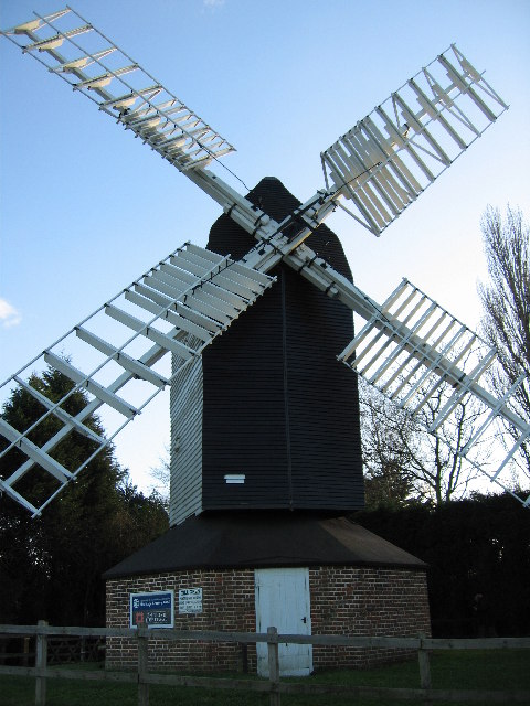
Cromer Windmill, Ardeley
Cromer Windmill, restored in four stages between 1967 and 1998, is a Grade II* listed post mill at Cromer, Ardeley, Hertfordshire, England. == History... ==

Wallington, Hertfordshire
Wallington is a small village and civil parish in the North Hertfordshire district, in the county of Hertfordshire, England, near the town of Baldock....

Lannock Mill, Weston
Lannock Mill is a Grade II listed tower mill at Weston, Hertfordshire, England which is derelict. == History == Lannock Mill was built in 1860. A windmill...
Nearby Amenities
Located within 500m of 51.961609,-0.12750282Have you been to Westfield Common?
Leave your review of Westfield Common below (or comments, questions and feedback).